Circular
Locking Parklands–Hutton–Christon
PaulWalkmates
Walk organiser
Dunkery Beacon Group Walks | Join a Walk
Join group walks, find walking companions and friends, or organise your own!
Don't walk alone! Find friendly walkers to explore Dunkery Beacon together. Join scheduled group walks or start your own.
Elevation
520m
1,706 ft
Prominence
414m
Coordinates
51.1628, -3.5867
SS891415
OS Map
181
Explorer: OL9E
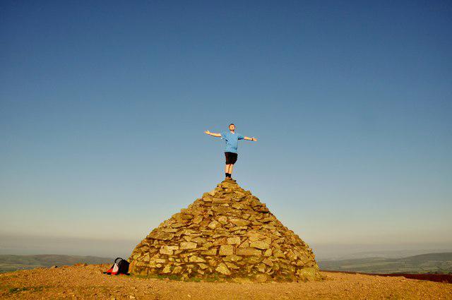
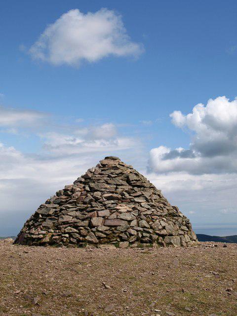
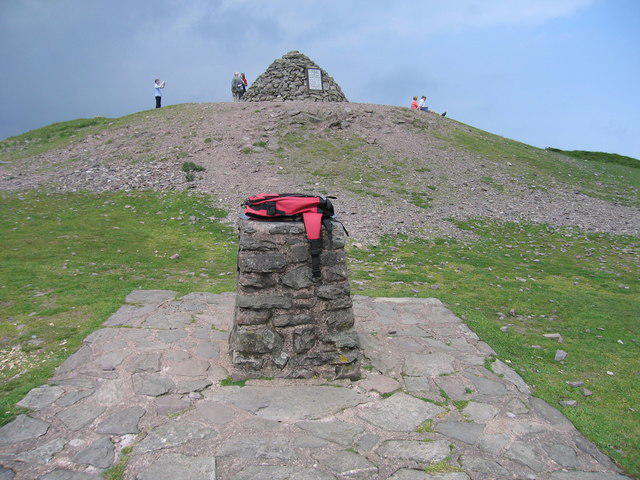
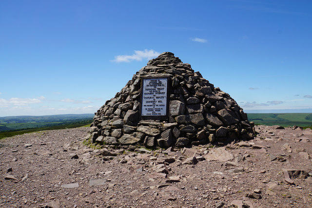
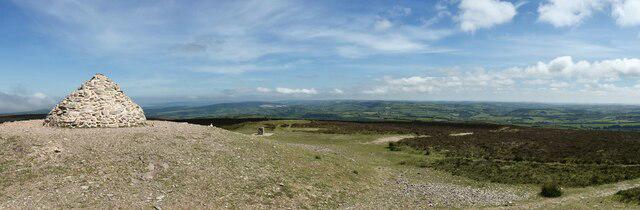
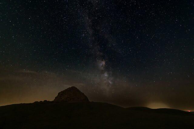
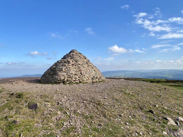
The summit is marked by a prominent stone cairn and a trig point, offering a perfect spot to catch your breath and take in the views.
Dunkery Beacon is primarily composed of volcanic rocks dating back to the Devonian period. The summit features a mix of heather moorland, granite outcrops, and gorse, creating a unique habitat for wildlife.
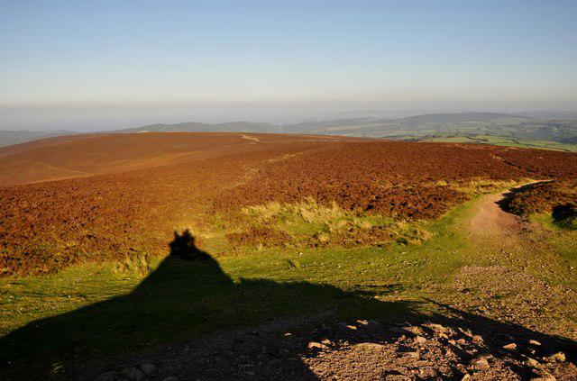
On clear days, enjoy views stretching as far as the Bristol Channel and the surrounding moors of Exmoor.
The name 'Dunkery' is believed to derive from the Old English term meaning 'hill where the oak trees grow.'
The mountain has been a beloved landmark for locals and visitors alike and is steeped in local folklore.
Starting at Webber's Post, this popular circular route takes you through beautiful woodland before ascending to Dunkery Beacon. Enjoy panoramic views from the summit and return via a different path through Horner Wood.
This straightforward and direct route begins at Dunkery Gate, following a well-defined track to the summit of Dunkery Beacon. It's a shorter option that's ideal for families or those looking for a quick hike.
A varied route combining the climb to Dunkery Beacon with a scenic descent through the enchanting Horner Wood. This longer route offers a mix of open moorland and shaded woodland paths.
Starting in the picturesque village of Wootton Courtenay, this route traverses fields and moorland before reaching Dunkery Beacon. A peaceful trail with fewer crowds and excellent views.
This scenic route begins in Snowdrop Valley, climbing gradually through forested trails before emerging onto open moorland. The ascent to Dunkery Beacon provides stunning views of Exmoor.
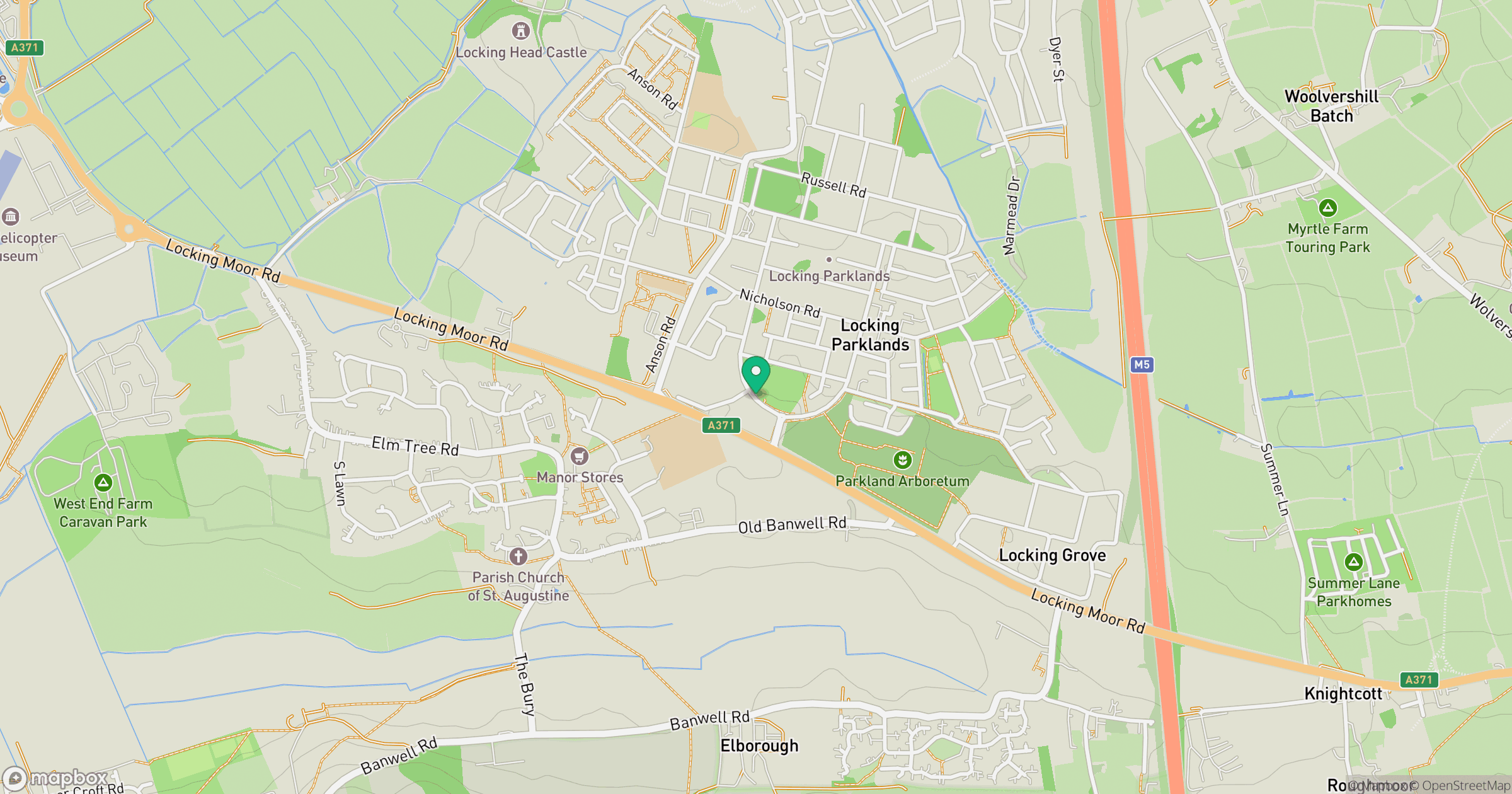
Dunkery Beacon Car Park, located at SS893414, which provides easy access to the summit.
Regular bus services operate from Minehead to Exford, with a short walk to the trailhead.
Nearby, you'll find the Exmoor Pony Centre, equipped with a small café and restrooms.
Join friendly walkers exploring Dunkery Beacon and surrounding area
More walks starting close to this area
Create a walk and let others join you. It's free and easy!
Some common questions about the hills answered
Many walkers use Walkmates to join or organise walks with others. You can check for group walks around Dunkery Beacon through the maps
Activity varies by location and time, but Walkmates lets you see whether others have shared walks or shown interest in this area. Find other people through the walking friends search walking friends for Dunkery Beacon search or of course create your own walk for Dunkery Beacon
Yes. If there aren’t any walks listed already, you can create a walk and make it available for others to join.
If you're signed up to Walkmates, you can create a walk to Dunkery Beacon.
There are often multiple ways to walk this hill, depending on experience and route preference. Walkmates helps you explore walks and routes that others have shared.
Yes. You can suggest or create routes to share with others. Walkmates focuses on the social side of walking, so routes are used to help people organise walks and explore areas together, rather than as detailed navigation tools or route libraries.
Other uses really appreciate knowledgeable walkers sharing their routes. Share your favourite route to Dunkery Beacon here
We always strive to keep the information on Walkmates as accurate as possible. If you find an error, please let us know through the contact form and we'll aim to correct it as quickly as possible
Grid Ref: SS891415
High Willhays
622m
Fan Gyhirych
726m
Fan Brycheiniog - Twr y Fan Foel
802m
Pen y Fan
886m
Cribyn
795m
+ 5 more nearby hills
Find more walking companions in the area

No comments yet. Be the first.