

The Fara
Good walks are even better shared.
NN6084 : The Fara Dyke
Scott Cormie Photo source
Overview
Exploring The Fara
The Fara is a hidden gem in the Scottish Highlands, standing at an elevation of 762 meters. As a Marilyn, it offers both challenge and beauty to intrepid hikers seeking to explore Scotland’s rugged landscapes.
Geography and Geology
The Fara boasts a striking geological composition primarily of schist. Formed over millions of years, this ancient rock contributes to the unique characteristics of the region. Hikers will appreciate how the resulting topography infuses every step with visual intrigue.
Routes
Fara Ridge Walk
This moderate route sprawls about 10 km and typically takes 4 hours to complete. Starting at Dalwhinnie, the trail weaves through the enchanting Highland scenery. As you trek, keep your eyes peeled for wildlife, including deer and soaring eagles overhead.
Summit Experience
Upon reaching The Fara's summit, you’ll be greeted by the sight of a stout cairn—the perfect beacon for your triumph. Take a moment to rest, unpack those sumptuous snacks, and enjoy the sweeping views of peaks like Ben Alder, which stands proudly in the distance.
Terrain
Hiking the Fara offers diverse terrain—rocky areas will test your footing and grassy patches will whisper sweet nothings of ease. Be prepared to navigate through a few boggy spots; after all, who doesn’t want a good mud splatter on their trousers?
Views from the Top
As you take in the panorama from the summit, you might be lucky enough to spot a loch glistening below or a distant peak peeking through the clouds. The best views are generally enjoyed in spring or early autumn when visibility is superb.
Access and Facilities
Finding your way to The Fara is quite simple. Dalwhinnie provides a small car park for those driving, and if you're feeling particularly adventurous (or eco-conscious), the train journey on the Highland Main Line drops you right at the door of the Highlands. Don’t forget to stop by the local tea room in Dalwhinnie for a warm cup of tea and a slice of cake before your venture.
Safety Considerations
As with any Highland adventure, be mindful of the weather. Conditions can change faster than a sheep can sprint! After a rain, the trails can become slippery, so choose your footing wisely and ensure you're prepared.
In essence, The Fara provides not just a challenge, but an invitation to immerse oneself in the enchanting tapestry of the Scottish Highlands—where every stone has a story and every view is a masterpiece.
Happy hiking!
Explore routes near The Fara
Walks starting near this hill. Open a route to check its map, distance and full itinerary.
Fort Augustus to Kytra Lock: Caledonian Canal Towpath
View route
Rothiemurchus: Beaver Trail and Lochan Mor
View route
Aviemore: Loch an Eilein and the Croft Track from Rothiemurchus
View route
Kenmore: Drummond Hill Black Rock Trail above Loch Tay
View route
Route planning notes
These notes describe possible approaches. Check a route's map and access information when planning your walk.
Fara Ridge Walk
A scenic route starting from Dalwhinnie, taking you through stunning wilderness and alongside sparkling lochs. This walk may challenge your fitness, but the spectacular views make it worthwhile.
Make a day of it, together
Find someone to share the walk with, or organise a day out along a route you like.
Photo Gallery
View all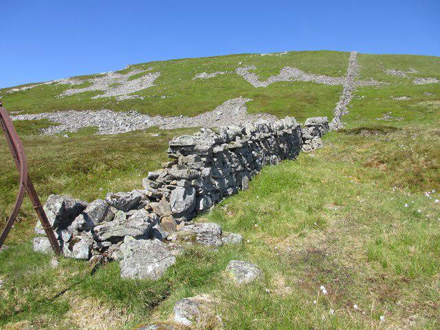 Photo could not load
NN6084 : The Fara Dyke
Scott Cormie
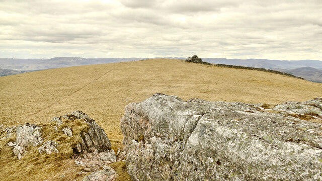 Photo could not load
NN5984 : Fara Ridge
AlastairG
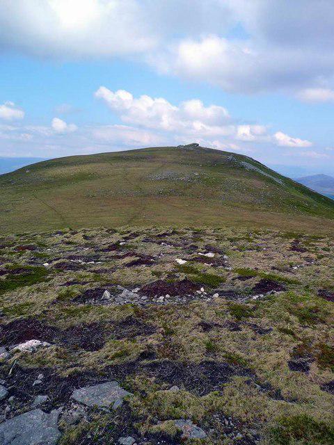 Photo could not load
NN5984 : Looking north on The Fara ridge
Gordon Brown
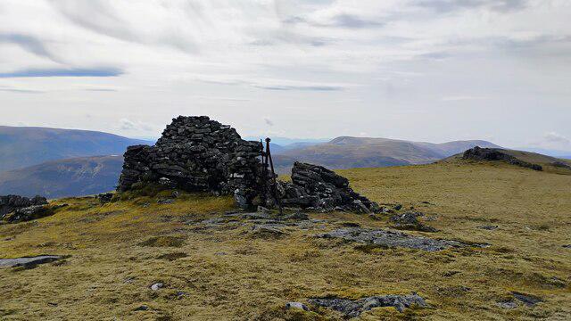 Photo could not load
NN5984 : Summit area of The Fara
Iain Russell
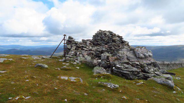 Photo could not load
NN5984 : Summit cairn on The Fara above Dalwhinnie
Colin Park
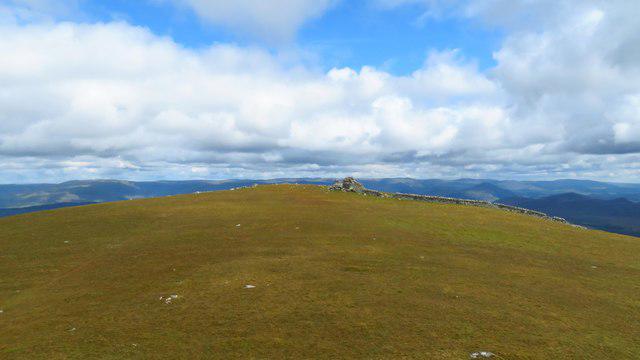 Photo could not load
NN5984 : On The Fara near Dalwhinnie - view north towards the summit cairn
Colin Park
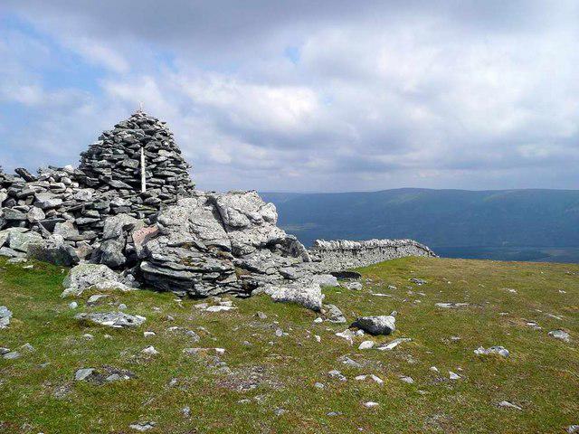 Photo could not load
NN5984 : Summit cairn on The Fara
Gordon Brown
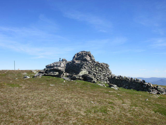 Photo could not load
NN5984 : Cairn on The Fara
Scott Cormie
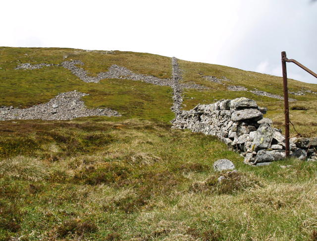 Photo could not load
NN5984 : Summit slopes, The Fara
Chris Eilbeck
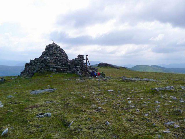
NN5984 : Summit cairn on The Fara
Gordon Brown
Hill facts and local notes
Classifications
Elevation
911m
2,990 ft
Prominence
475m
Coordinates
56.9284, -4.3049
NN598842
OS Map
42
Explorer: OL50 393
At the Summit
At the summit, you'll find a modest cairn marking the highest point, offering a perfect spot for a well-earned snack and a selfie.
Terrain & Geology
The Fara is predominantly composed of schist, a metamorphic rock which gives it a rugged aesthetic and a rich landscape formed over millions of years. One can spot interesting formations and rock strata along the way.
Views & Scenery
On a clear day, the summit offers breathtaking views of the surrounding peaks, including Ben Alder and Loch Ericht, as well as the vast expanse of the Scottish Highlands.
History & Heritage
Name Origin
The name 'Fara' likely derives from the Gaelic 'Fàra', meaning 'enclosure' or 'field', highlighting the rural landscape.
Historical Significance
Historically, the area has been significant for its strategic location, giving insight into ancient settlement patterns and keeping the sheep well guarded!
Getting There & Facilities
Parking
Dalwhinnie has a small car park located just off the A9. It holds around 15 vehicles, so arrive early to nab a spot on busy weekends.
Public Transport
Dalwhinnie is accessible by train on the Highland Main Line, making it easier than ever for walking enthusiasts. Just grab your rucksack and hop on!
Nearby Facilities
While there's no café up the mountain, you can find a quaint tea room and shop in Dalwhinnie to stock up on goodies before your hike.
Safety Information
Known Hazards
- Watch out for sudden weather changes which can occur at high altitudes. Also, the trails may be slippery after rain, and care should be taken on rocky terrain.
General Safety Tips
- Check weather conditions before setting out
- Carry appropriate clothing and equipment
- Let someone know your planned route
- Take a map, compass, and GPS device
- Carry emergency supplies: food, water, first aid kit, torch
Hills
Some common questions about the hills answered
Are there group walks up The Fara?
Many walkers use Walkmates to join or organise walks with others. You can check for group walks around The Fara through the maps
Are there other walkers around The Fara?
Activity varies by location and time, but Walkmates lets you see whether others have shared walks or shown interest in this area. Find other people through the walking friends search walking friends for The Fara search or of course create your own walk for The Fara
Can I organise a walk to The Fara?
Yes. If there aren’t any walks listed already, you can create a walk and make it available for others to join.
If you're signed up to Walkmates, you can create a walk to The Fara.
How do I find a walk up this hill?
There are often multiple ways to walk this hill, depending on experience and route preference. Walkmates helps you explore walks and routes that others have shared.
Can I suggest a new route up The Fara?
Yes. You can suggest or create routes to share with others. Walkmates focuses on the social side of walking, so routes are used to help people organise walks and explore areas together, rather than as detailed navigation tools or route libraries.
Other uses really appreciate knowledgeable walkers sharing their routes. Share your favourite route to The Fara here
The is an error or something incorrect about this hill. How do I let you know?
We always strive to keep the information on Walkmates as accurate as possible. If you find an error, please let us know through the contact form and we'll aim to correct it as quickly as possible
Community Discussion
Comments
Location
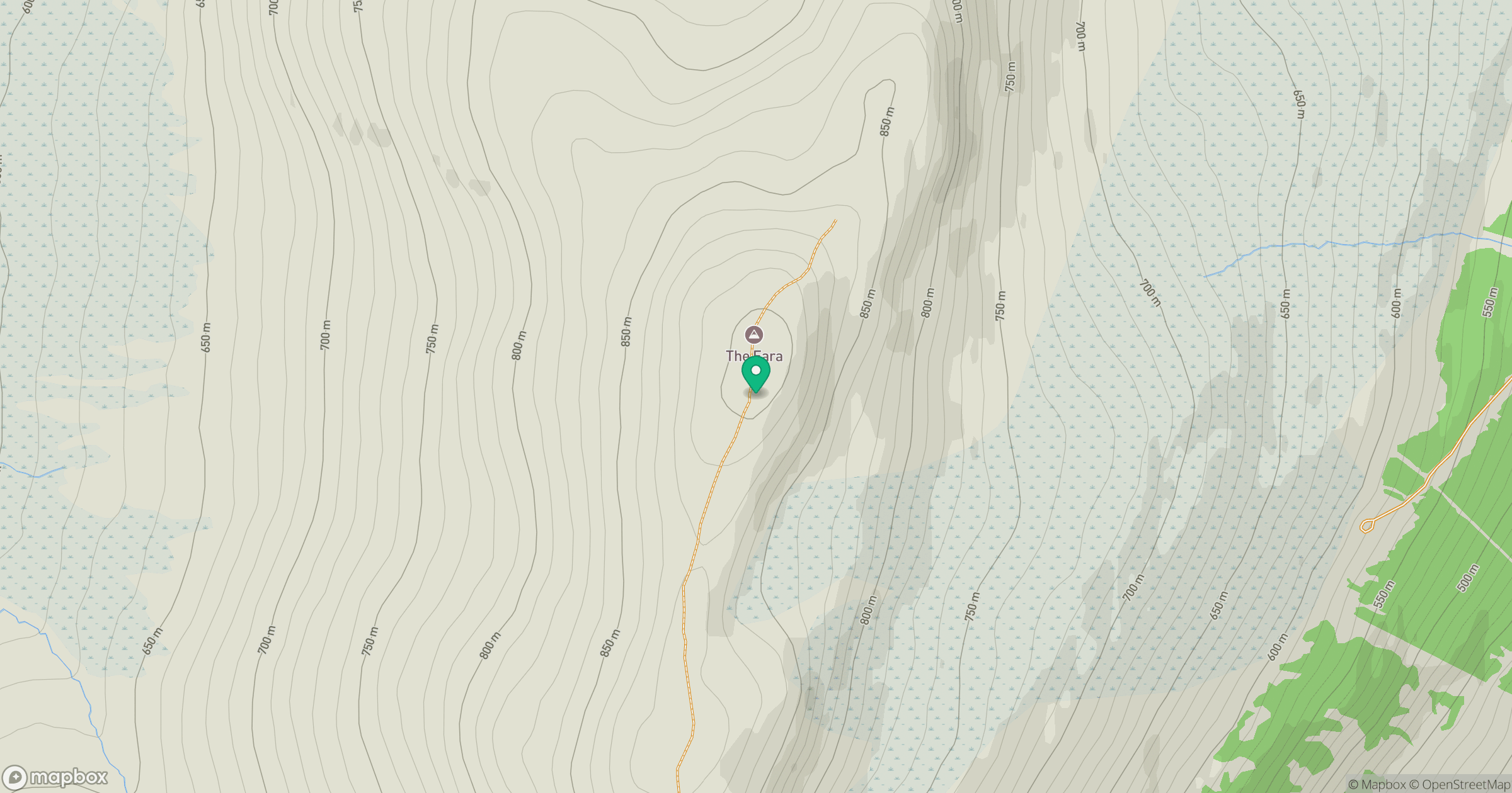
Grid reference: NN598842
View on OpenStreetMapOpens a map in a new tab, centred on the hill.
No comments yet. Be the first.