

Beinn Eilde
Good walks are even better shared.
Overview
Beinn Eilde: The Gem of the Highlands
Nestled in the magnificent Scottish Highlands, Beinn Eilde is not only a Marilyn but also an adventurer's delight. Standing tall at an elevation of 700 meters, this mountain is a perfect escape for those wanting to stretch their legs and their lungs.
Geology
As you trudge your way up Beinn Eilde, you'll notice the distinctive reddish sandstone underfoot. This ancient rock, known as Old Red Sandstone, tells tales of a bygone era when this land was dominated by rivers and swamps. So, if you've ever wanted to walk on history, here’s your chance!
Access
Getting to Beinn Eilde is easier than finding your way through a Twitter thread. The nearest parking can be found just off the A85 at a designated layby, about 5 km from the start of the West Highland Way. For those relying on public transport, Dalmally is your go-to town, with services running regularly.
Routes
One popular route is the West Highland Way Approach. This moderate trek spans approximately 10.5 km and allows for ample picturesque breaks—necessary fuel for the Instagram feed, of course! Expect to spend around 4.5 hours ascending, unless you get distracted by the views.
Summit Features
Upon reaching the top, you’ll be greeted by a magnificent stone cairn, the traditional mountain top hat, offering stunning views that could make even a stone blush. The panorama looks out over Loch Awe, and on particularly clear days, the majestic peaks of the Argyll mountains stretch into the horizon.
Facilities
While Beinn Eilde itself lacks facilities, fear not! The nearby town of Dalmally provides all the essentials, from cafes to public toilets, ensuring you’re well-fuelled for your adventure.
Hazards
As with all Highland adventures, a few hazards lurk. Keep an eye out for loose rocks, particularly in steeper sections, and always be prepared as weather conditions can change faster than you can say 'Scottish drizzle.'
Conclusion
So, pack your gear and polish those hiking boots! Beinn Eilde awaits with expansive views, delightful geology, and the promise of an unforgettable day in the Scottish Highlands. Remember: the only bad hike is the one you don’t take.
Explore routes near Beinn Eilde
Public walks starting within 80 km of this hill. Nearby does not mean a route reaches the summit; check its map and access before setting out.
Coire Ardair lochan from Aberarder and back
View route
Great Glen Way low route: Fort Augustus to Invermoriston Old Bridge
View route
Fort Augustus to Kytra Lock: Caledonian Canal Towpath
View route
Glen Banvie Trail with the Bruar viewpoint
View route
Route planning notes
These notes describe possible approaches, not verified navigable routes or permission to cross land. Check current paths, local access rules and conditions before setting out.
West Highland Way Approach
A scenic route starting from the West Highland Way to the north, offering gradual ascents and stunning views of the surrounding landscape.
Make a day of it, together
Find someone to share the walk with, or organise a day out along a route you like.
Photo Gallery
View all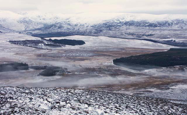 Photo could not load
NN5684 : Summit of Beinn Eilde looking towards Loch Laggan
Jerry Evans
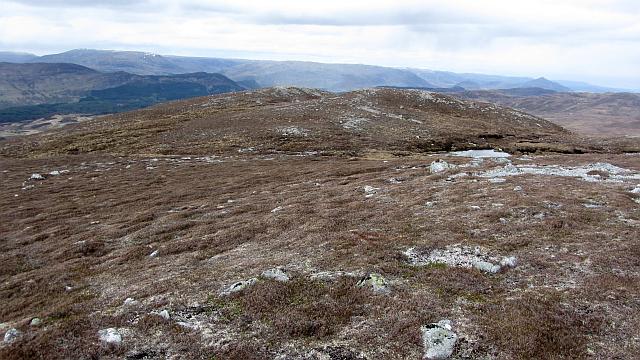 Photo could not load
NN5685 : Summit area, Beinn Eilde
Richard Webb
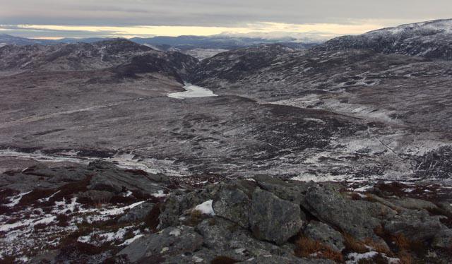 Photo could not load
NN5685 : Summit of Beinn Eilde looking towards Loch Caoldair
Jerry Evans
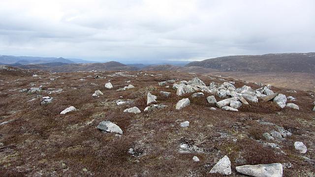 Photo could not load
NN5685 : The north summit of Beinn Eilde
Richard Webb
Hill facts and local notes
Classifications
Elevation
674m
2,211 ft
Prominence
147m
Coordinates
56.9343, -4.3623
NN563850
OS Map
42
Explorer: OL50 393
At the Summit
The summit features a large stone cairn, perched proudly at the peak, accompanied by magnificent panoramic views that can make a grown hiker weep with joy.
Terrain & Geology
Beinn Eilde is predominantly formed from Old Red Sandstone, which gives the mountain its distinctive reddish hue. The geological formations here are a testament to the ancient river systems that once flowed through the area.
Views & Scenery
From the summit, hikers can enjoy views of Loch Awe and the distant peaks of the Argyll mountains, making sure your camera never feels lonely.
History & Heritage
Name Origin
The name 'Eilde' is thought to derive from the Gaelic word 'Eilid,' meaning 'the swan,' hinting at the wildlife of the area.
Historical Significance
Historically, Beinn Eilde has been a silent witness to the stirring events of Scottish history, including clan battles and the gamekeeping traditions of yore.
Getting There & Facilities
Check current local access restrictions, parking rules and transport timetables before travelling. These notes do not confirm public access to the summit.
Parking
Parking is available at the start of the West Highland Way, approximately 5 km from the trailhead. Look for the signposted layby off the A85.
Public Transport
Regular bus services run from nearby towns such as Dalmally, making it convenient for hikers relying on public transport.
Nearby Facilities
While there are no facilities directly on the mountain, Dalmally boasts cafes and public toilets to cater to your pre-hike needs.
Safety Information
Known Hazards
- Be mindful of loose rocks, particularly on steeper sections. The weather can change rapidly, so remain vigilant for sudden fog or rain.
General Safety Tips
- Check weather conditions before setting out
- Carry appropriate clothing and equipment
- Let someone know your planned route
- Take a map, compass, and GPS device
- Carry emergency supplies: food, water, first aid kit, torch
Hills
Some common questions about the hills answered
Are there group walks up Beinn Eilde?
Many walkers use Walkmates to join or organise walks with others. You can check for group walks around Beinn Eilde through the maps
Are there other walkers around Beinn Eilde?
Activity varies by location and time, but Walkmates lets you see whether others have shared walks or shown interest in this area. Find other people through the walking friends search walking friends for Beinn Eilde search or of course create your own walk for Beinn Eilde
Can I organise a walk to Beinn Eilde?
Yes. If there aren’t any walks listed already, you can create a walk and make it available for others to join.
If you're signed up to Walkmates, you can create a walk to Beinn Eilde.
How do I find a walk up this hill?
There are often multiple ways to walk this hill, depending on experience and route preference. Walkmates helps you explore walks and routes that others have shared.
Can I suggest a new route up Beinn Eilde?
Yes. You can suggest or create routes to share with others. Walkmates focuses on the social side of walking, so routes are used to help people organise walks and explore areas together, rather than as detailed navigation tools or route libraries.
Other uses really appreciate knowledgeable walkers sharing their routes. Share your favourite route to Beinn Eilde here
The is an error or something incorrect about this hill. How do I let you know?
We always strive to keep the information on Walkmates as accurate as possible. If you find an error, please let us know through the contact form and we'll aim to correct it as quickly as possible
Community Discussion
Comments
Location
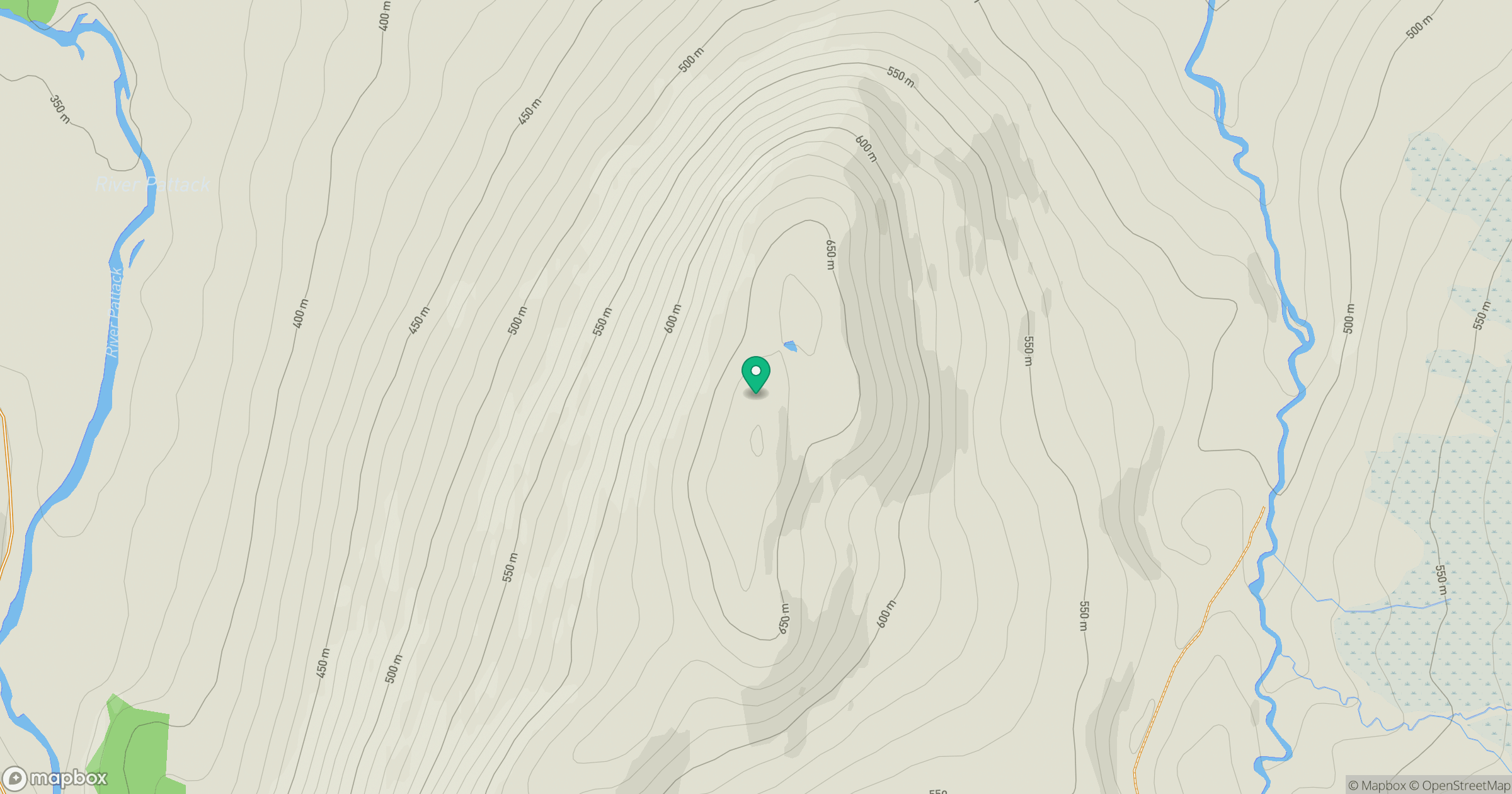
Grid reference: NN563850
View on OpenStreetMapOpens a map in a new tab, centred on the hill.
Hills within 30 km
Straight-line distance, not a walking route or confirmation of access.
No comments yet. Be the first.