

The Brack
Good walks are even better shared.
NN2403 : Landslip features on The Brack
Patrick Mackie Photo source
Overview
The Brack: A Marilyn Worth Climbing
Introduction
Perched at an elevation of 570 meters, The Brack is a Marilyn that boasts not only impressive views but also a blend of gentle slopes and challenging rocky outcrops. Getting to the summit is as straightforward as it is rewarding, making it a popular choice among hikers of various experience levels.
Geology
The underlying granite and schist formations of The Brack tell tales of ancient geological processes. The distinctive glacial features are a testament to the forces that have sculpted this landscape over millennia. So, if you fancy a spot of geology with your hiking, The Brack won’t disappoint!
Routes
The main route to the summit, aptly named The Brack Summit Trail, spans 5.2 km and typically takes around 2.5 hours to hike. The marked trail is well-trodden, offering a mix of scenic views and the occasional uphill challenge.
Terrain
Expect a delightful mix of grassy slopes and rocky paths, interspersed with the odd boggy patch. It’s perfect for those who enjoy a bit of variety in their trekking experience. Just remember: muddy boots are the badge of honour for hikers!
Views
From the summit, you'll be rewarded with breathtaking sights of Loch Long and the magnificent Arrochar Alps. There’s nothing quite like staring at natural beauty to remind you why you love the outdoors. Early mornings and the late spring months prove to be particularly magical, so set your alarm clock a little earlier!
Hazards
While it's not the toughest mountain in the Highlands, don't let your guard down! The trail can be steep and rocky in places, particularly after rainfall. According to the locals, the rocks are like a Scottish dance floor—slippery at times and poised to trip up the unwary!
Nearby Summits
If you're keen for more, nearby summits such as Ben Vorlich and Ben Vane promise additional adventures and stunning landscapes worthy of exploration.
Access
Parking is available in a layby on the A83, but be warned: this fills up faster than a pint at the local pub! If public transport is more your style, catch the bus to Arrochar and enjoy a pleasant walk to the trailhead.
Facilities
After your hike, why not unwind in Arrochar? There are a handful of friendly cafes and pubs ready to offer you a refreshing beverage and a hearty meal. Toilets can typically be found in these establishments, allowing you to freshen up before your journey home.
Conclusion
The Brack is more than just a hike; it’s a little adventure waiting to happen. Whether you’re in it for the views, the geology, or just the satisfaction of summit success, this Marilyn is a splendid choice. Just remember: take your time, enjoy the scenery, and maybe don’t forget the snacks!
Happy hiking!
Explore routes near The Brack
Walks starting near this hill. Open a route to check its map, distance and full itinerary.
Beinn Ime from Succoth
View route
The Cobbler from Succoth Carpark
View route
Ben Lomond in the trossachs
View route
Glen Kin group walk
View route
Route planning notes
These notes describe possible approaches. Check a route's map and access information when planning your walk.
The Brack Summit Trail
A scenic route that provides the most direct access to the summit, offering stunning views along the way.
Make a day of it, together
Find someone to share the walk with, or organise a day out along a route you like.
Photo Gallery
View all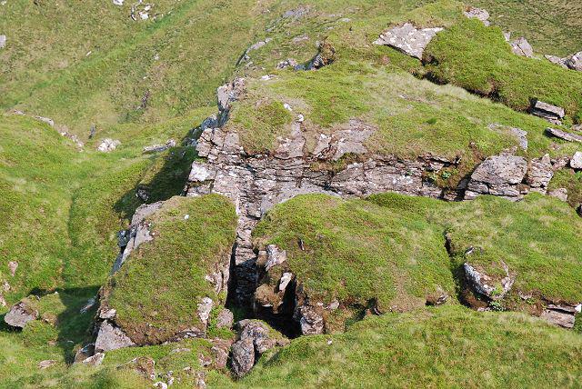 Photo could not load
NN2403 : Landslip features on The Brack
Patrick Mackie
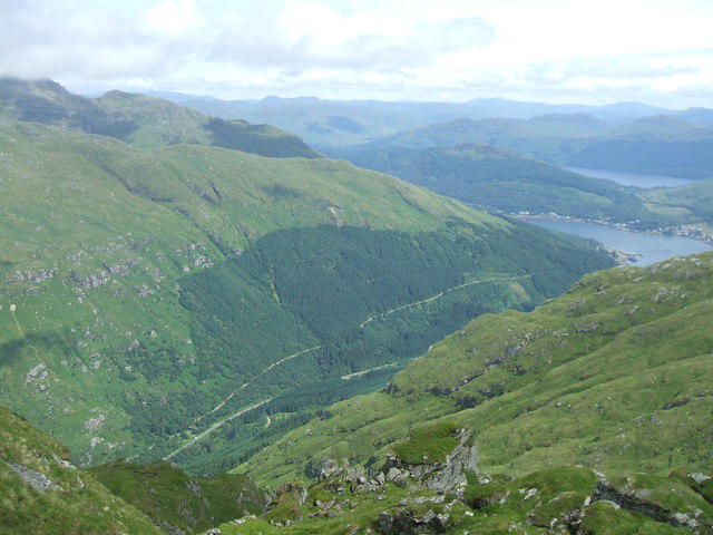 Photo could not load
NN2403 : View from The Brack
Iain Russell
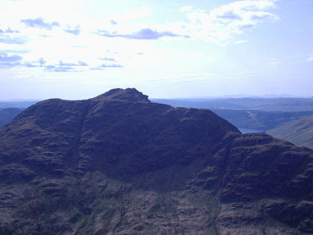 Photo could not load
NN2403 : The Brack (Corbett) 787m
Alan Murray Walsh
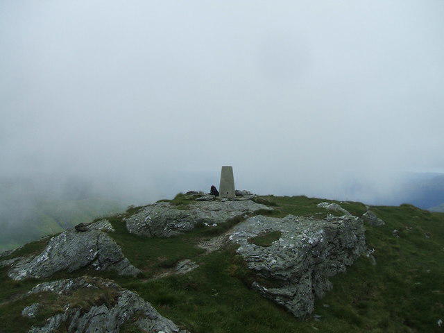 Photo could not load
NN2403 : Summit of The Brack
Iain Russell
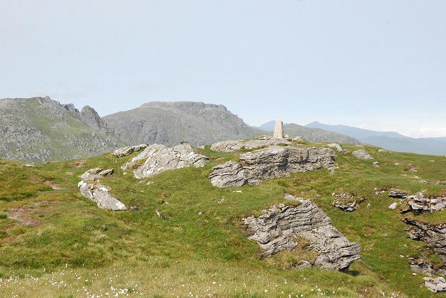 Photo could not load
NN2403 : Approaching the summit of The Brack from the south-west
Patrick Mackie
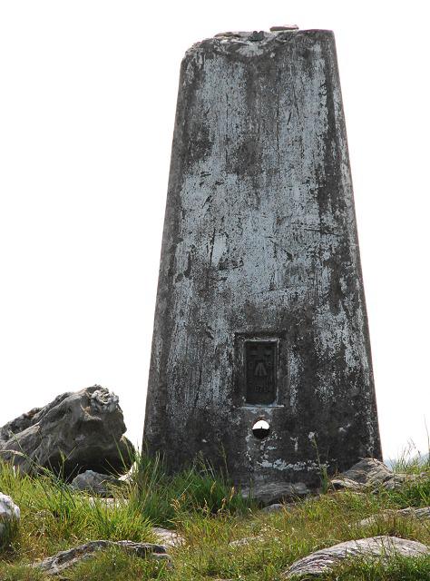 Photo could not load
NN2403 : Triangulation pillar on The Brack
Patrick Mackie
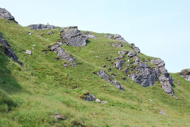 Photo could not load
NN2403 : Looking back at the summit of The Brack
Patrick Mackie
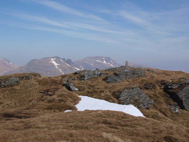 Photo could not load
NN2403 : Summit of the Brack
Alec MacKinnon
Hill facts and local notes
Classifications
Elevation
788m
2,584 ft
Prominence
403m
Coordinates
56.1878, -4.8286
NN245030
OS Map
56
Explorer: OL37N OL39S 363N 364S
At the Summit
The summit features a substantial stone cairn, which offers a satisfying sense of achievement to those who've made the climb. It's a perfect spot to take in the panoramic vistas.
Terrain & Geology
Primarily composed of granite and schist, The Brack exhibits some fascinating geological formations typical of the Scottish Highlands. Ancient glacial activity has shaped its rugged contours.
Views & Scenery
From the summit, you will be greeted by views of Loch Long, the Clyde Estuary, and the distant peaks of the Arrochar Alps. The sight is enough to make any avid hiker's heart race!
History & Heritage
Name Origin
The Brack derives its name from the Gaelic word 'Bràigh,' which means 'hill' or 'high place.'
Historical Significance
Historically, The Brack has been a notable landmark for local communities, guiding both hikers and travelers through the rugged Highlands.
Getting There & Facilities
Parking
There is a layby on the A83 where hikers can park their vehicles, but it fills up quickly on weekends.
Public Transport
The nearest bus stop is in the village of Arrochar, approximately 3 km from the start of the trail.
Nearby Facilities
Arrochar has a few cafes and pubs, where mountain-goers can refuel with a hearty meal or warm drink. Toilets are available at some of these establishments.
Safety Information
Known Hazards
- Loose rocks and underfoot conditions can be tricky, particularly on steeper sections. Be sure to wear proper footwear and keep an eye on the weather, which can change on a dime.
General Safety Tips
- Check weather conditions before setting out
- Carry appropriate clothing and equipment
- Let someone know your planned route
- Take a map, compass, and GPS device
- Carry emergency supplies: food, water, first aid kit, torch
Hills
Some common questions about the hills answered
Are there group walks up The Brack?
Many walkers use Walkmates to join or organise walks with others. You can check for group walks around The Brack through the maps
Are there other walkers around The Brack?
Activity varies by location and time, but Walkmates lets you see whether others have shared walks or shown interest in this area. Find other people through the walking friends search walking friends for The Brack search or of course create your own walk for The Brack
Can I organise a walk to The Brack?
Yes. If there aren’t any walks listed already, you can create a walk and make it available for others to join.
If you're signed up to Walkmates, you can create a walk to The Brack.
How do I find a walk up this hill?
There are often multiple ways to walk this hill, depending on experience and route preference. Walkmates helps you explore walks and routes that others have shared.
Can I suggest a new route up The Brack?
Yes. You can suggest or create routes to share with others. Walkmates focuses on the social side of walking, so routes are used to help people organise walks and explore areas together, rather than as detailed navigation tools or route libraries.
Other uses really appreciate knowledgeable walkers sharing their routes. Share your favourite route to The Brack here
The is an error or something incorrect about this hill. How do I let you know?
We always strive to keep the information on Walkmates as accurate as possible. If you find an error, please let us know through the contact form and we'll aim to correct it as quickly as possible
Community Discussion
Comments
Location
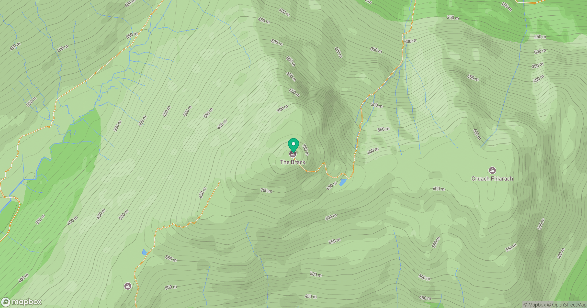
Grid reference: NN245030
View on OpenStreetMapOpens a map in a new tab, centred on the hill.
![The Cobbler [Ben Arthur]](https://cdn.walkmates.com/gallery-images/a1b697040769474a8338b3fb586ebc7a.jpg)
No comments yet. Be the first.