

Stob Dubh
Good walks are even better shared.
NN1648 : View from Stob Dubh
Tony Kinghorn Photo source
Overview
Stob Dubh: A Hidden Gem of the Scottish Highlands
Stob Dubh, peaking at 958 meters, is a Munro that promises both challenge and reward to outdoor enthusiasts. Nestled in the breathtaking Scottish Highlands, it beckons adventurers with its rugged beauty and splendid views.
Geology
The geological makeup of Stob Dubh tells a story of ancient metamorphic processes. The rocks are evidence of incredible geological forces, making it a fascinating locale for anyone interested in the earth's history. Just be careful not to get too engrossed in the rocks—you wouldn't want to trip over one!
Routes
The Coire na Fhamair Path is the most popular route to the summit. This moderate trail stretches approximately 9.5 km and typically takes around 4.5 hours to complete. As you ascend, you’ll navigate stunning landscapes, with every turn revealing another picturesque view.
Summit Features
Upon reaching the summit, you'll be greeted by an impressive cairn and an expansive vista that will make your heart sing—unless you have a fear of heights, in which case singing may not be advisable. From here, you can gaze at the majestic Blackmount Range and the shimmering Loch Awe.
Terrain Type
Expect a blend of rocky paths and soft grass as you meander up to Stob Dubh's peak. While most of the route is straightforward, some sections may test your footing—so wear sturdy shoes!
Stunning Views
The summit offers breathtaking sights, particularly during spring and autumn, when clarity reigns supreme. However, those venturing in summer should be equipped for possible midges. Lake lovers and mountain gazers rejoice, for few places rival the beauty viewed from this hill.
Hazards
Caution is key when exploring Stob Dubh. Be wary of loose rocks, unpredictable weather, and muddy patches on the path. A sturdy pair of boots and a watchful eye will keep you safe.
Nearby Summits
If you're after more of a challenge, nearby summits like Stob Coire Raineach and Meall nan sub offer excellent opportunities for additional exploration.
Access
You can conveniently park at NN166488, making starting your hike a breeze. If you're relying on public transport, the closest bus stop is located in Crianlarich, about 10 km away. A wee taxi ride can bridge that distance easily.
Facilities
Crianlarich provides a handy base with shops, cafes, and even public toilets to prepare you for your hike.
History
The name Stob Dubh means 'Black Peak', reflecting its dominant, dark form. The mountain is steeped in local lore, often featured in stories passed down through generations.
So pack your bag, grab some snacks, and set off to conquer Stob Dubh—just remember, the only thing better than reaching the top is coming back down for a well-deserved cup of tea!
Explore routes near Stob Dubh
Walks starting near this hill. Open a route to check its map, distance and full itinerary.
Ben Nevis via Mountain Path
View route
Banavie to Glen Loy Aqueduct: Neptune’s Staircase Canal Towpath
View route
Killin: Falls of Dochart, Finlarig and Moirlanich Longhouse
View route
Beinn Ime from Succoth
View route
Route planning notes
These notes describe possible approaches. Check a route's map and access information when planning your walk.
The Coire na Fhamair Path
Starting from the base at the accessible car park, this route threads its way through scenic landscapes, leading to the summit via Coire na Fhamair.
Make a day of it, together
Find someone to share the walk with, or organise a day out along a route you like.
Photo Gallery
View all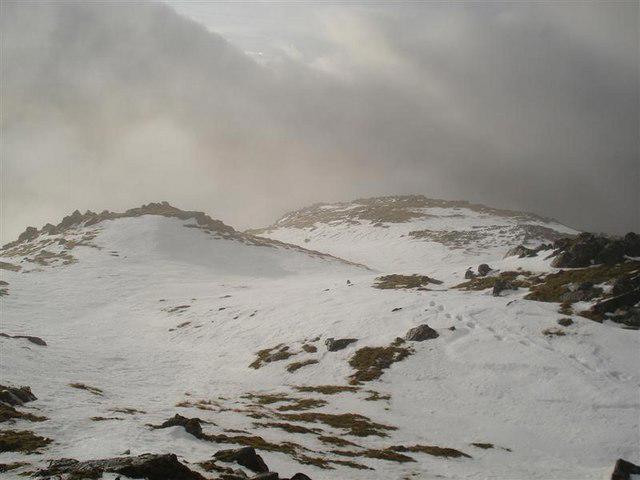 Photo could not load
NN1648 : View from Stob Dubh
Tony Kinghorn
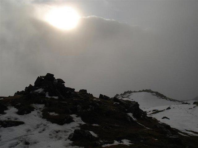 Photo could not load
NN1648 : Summit of Stob Dubh
Tony Kinghorn
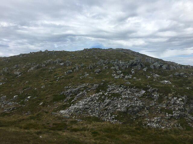 Photo could not load
NN1648 : Stob Dubh
Steven Brown
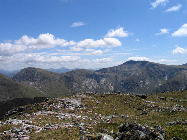 Photo could not load
NN1648 : Summit area of Stob Dubh
Trevor Littlewood
Hill facts and local notes
Classifications
Elevation
883m
2,897 ft
Prominence
521m
Coordinates
56.5954, -4.9881
NN166488
OS Map
50
Explorer: 384
At the Summit
The summit features a substantial cairn, providing a perfect stage for a victory dance or a contemplative moment. The views from this vantage point are nothing short of stunning, sweeping across the landscape.
Terrain & Geology
Stob Dubh is comprised mainly of metamorphic and granitic rocks, formed during significant tectonic activity. Its terrain showcases a mix of rugged crags and smooth, sweeping ridges, presenting a perfect study for geology enthusiasts.
Views & Scenery
The grandeur of the Blackmount Range, the sparkling waters of Loch Awe, and even the distant peaks of the Grampian mountains can be admired from the summit.
History & Heritage
Name Origin
Stob Dubh translates to 'Black Peak', a fitting reference to its dark, rocky facade.
Historical Significance
Beyond its stunning natural beauty, the mountain holds cultural importance, featuring in local folklore and historical activities of the region.
Getting There & Facilities
Parking
There is a designated parking area at NN166488, which accommodates several vehicles. Arrive early during peak seasons to secure a spot.
Public Transport
The nearest bus stop is in the village of Crianlarich, approximately 10 km away. Consider a taxi or rideshare for the last leg to reach the parking.
Nearby Facilities
The town of Crianlarich offers a range of facilities including a small shop, cafes, and public toilets.
Safety Information
Known Hazards
- Loose rocks, changing weather conditions, and boggy paths can pose risks. Always check the forecast and wear appropriate gear.
General Safety Tips
- Check weather conditions before setting out
- Carry appropriate clothing and equipment
- Let someone know your planned route
- Take a map, compass, and GPS device
- Carry emergency supplies: food, water, first aid kit, torch
Hills
Some common questions about the hills answered
Are there group walks up Stob Dubh?
Many walkers use Walkmates to join or organise walks with others. You can check for group walks around Stob Dubh through the maps
Are there other walkers around Stob Dubh?
Activity varies by location and time, but Walkmates lets you see whether others have shared walks or shown interest in this area. Find other people through the walking friends search walking friends for Stob Dubh search or of course create your own walk for Stob Dubh
Can I organise a walk to Stob Dubh?
Yes. If there aren’t any walks listed already, you can create a walk and make it available for others to join.
If you're signed up to Walkmates, you can create a walk to Stob Dubh.
How do I find a walk up this hill?
There are often multiple ways to walk this hill, depending on experience and route preference. Walkmates helps you explore walks and routes that others have shared.
Can I suggest a new route up Stob Dubh?
Yes. You can suggest or create routes to share with others. Walkmates focuses on the social side of walking, so routes are used to help people organise walks and explore areas together, rather than as detailed navigation tools or route libraries.
Other uses really appreciate knowledgeable walkers sharing their routes. Share your favourite route to Stob Dubh here
The is an error or something incorrect about this hill. How do I let you know?
We always strive to keep the information on Walkmates as accurate as possible. If you find an error, please let us know through the contact form and we'll aim to correct it as quickly as possible
Community Discussion
Comments
Location
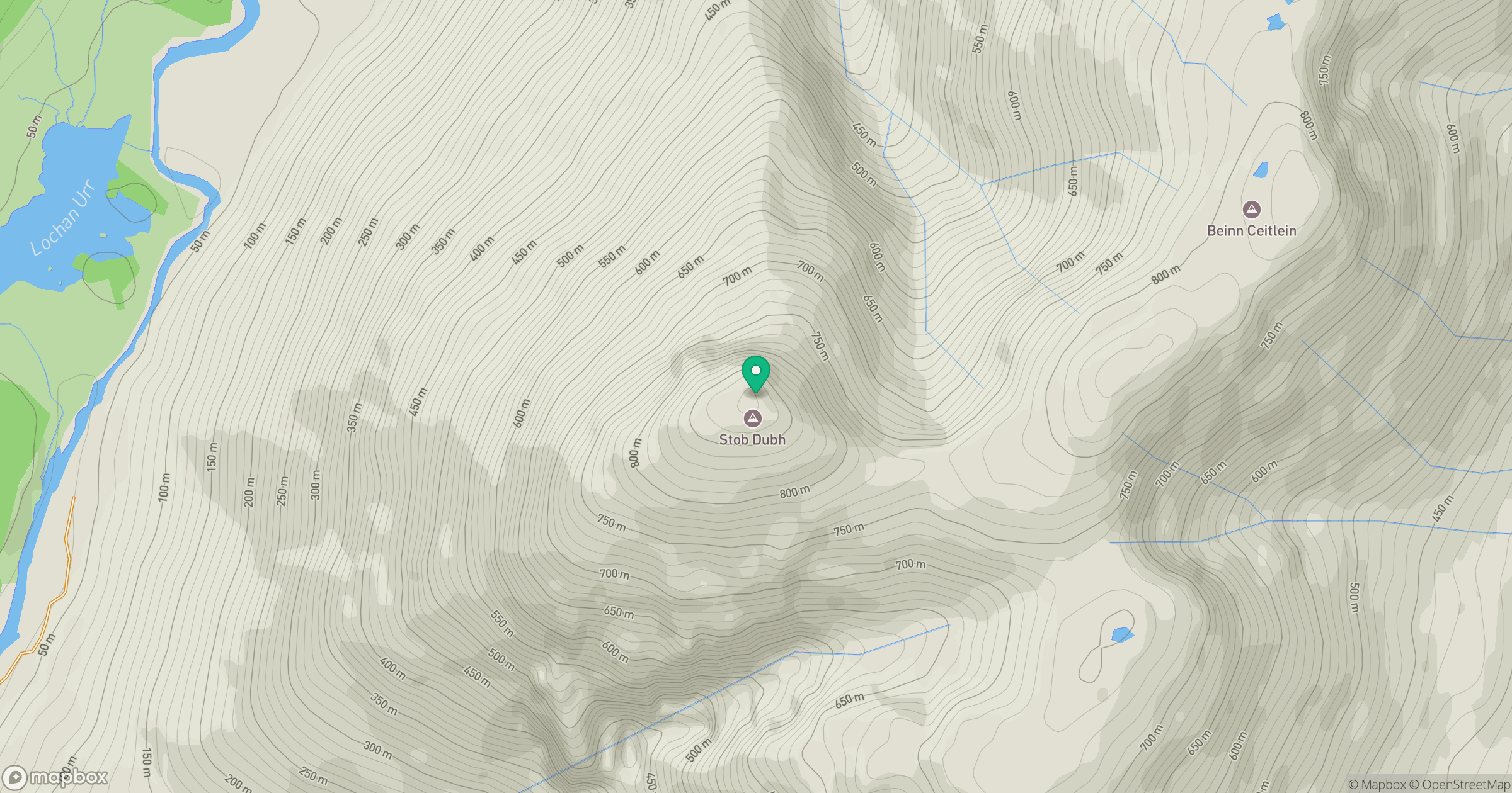
Grid reference: NN166488
View on OpenStreetMapOpens a map in a new tab, centred on the hill.
No comments yet. Be the first.