

Ben Starav
Good walks are even better shared.
NN1242 : Ben Starav
Richard Webb Photo source
Overview
Ben Starav above Glen Etive
Ben Starav is a 1079.5 m Munro, Marilyn and Simm with 448.8 m prominence. DoBIH identifies a cairn at NN 12578 42706 and records the trig point as destroyed. Older guide heights of 1078 m and descriptions of a surviving trig should not override that primary record.
A full two-Munro circuit
The route listed here starts and finishes at the layby opposite the Coileitir track, NN136468. It climbs Ben Starav's north ridge, crosses the southeast ridge and Stob Coire Dheirg, continues over Meall nan Tri Tighearnan to Glas Bheinn Mhor, then descends east and northeast before returning beside Allt Mheuran and through Coileitir. Walkhighlands publishes 16 km, 1423 m ascent and 8–9 hours for this circuit. The duration remains a range.
An optional excursion to Beinn nan Aighenan adds substantial descent and re-ascent. It is not included in the listed totals. A summit-only return or an earlier exit also needs separate planning; no unsupported shortened-route figures are supplied.
Rock, summit and views
The Starav intrusion is granite within the Etive pluton. BGS describes both porphyritic and non-porphyritic monzogranite. Loch Etive, Ben Cruachan and the surrounding mountains provide the main panorama in clear weather. The name's precise derivation is not established here.
Safety and access
This is a strenuous mountain day with sustained ascent, narrow rocky ground and boggy lower paths. Locate the correct southeast descent carefully in mist, and avoid the false northward ridge from Stob Coire Dheirg. Wet rock, strong wind and winter conditions can substantially increase difficulty.
NatureScot's access table, updated 18 March 2026 and checked 18 October 2026, identifies Glenetive Estate north of the main ridge and Glenkinglass Estate south of it. It publishes seasonal stalking information and asks walkers to heed preferred-route notices. Check current guidance before walking; this is not a blanket closure or a guarantee of unrestricted operations on any particular day.
There is no scheduled public transport listed at the start. The A82 and Glencoe are separate from the trailhead. Use the correct layby rather than the road-end parking, keep access clear and bring supplies. Glencoe visitor centre and village facilities are regional options, not services at Coileitir or a verified café in Dalness.
Explore routes near Ben Starav
Walks starting near this hill. Open a route to check its map, distance and full itinerary.
Ben Nevis via Mountain Path
View route
Banavie to Glen Loy Aqueduct: Neptune’s Staircase Canal Towpath
View route
Beinn Ime from Succoth
View route
The Cobbler from Succoth Carpark
View route
Route planning notes
These notes describe possible approaches. Check a route's map and access information when planning your walk.
Ben Starav and Glas Bheinn Mhor from Glen Etive
Start and finish at the layby opposite the Coileitir track, NN136468. Cross the River Etive, follow the hydro track past Coileitir and cross Allt Mheuran before taking the north-ridge ascent to Ben Starav. Continue around the southeast top and along the rocky ridge to Stob Coire Dheirg, then east through the bealach and over Meall nan Tri Tighearnan to Glas Bheinn Mhor. Descend its east then northeast ridge to the next col, turn down beside Allt Mheuran and follow the burn back to the outward hydro track; return past Coileitir to the same layby. Walkhighlands gives 16 km, 1423 m ascent and 8–9 hours for this complete two-Munro circuit. The Beinn nan Aighenan detour and any earlier descent are excluded from those totals.
Make a day of it, together
Find someone to share the walk with, or organise a day out along a route you like.
Photo Gallery
View all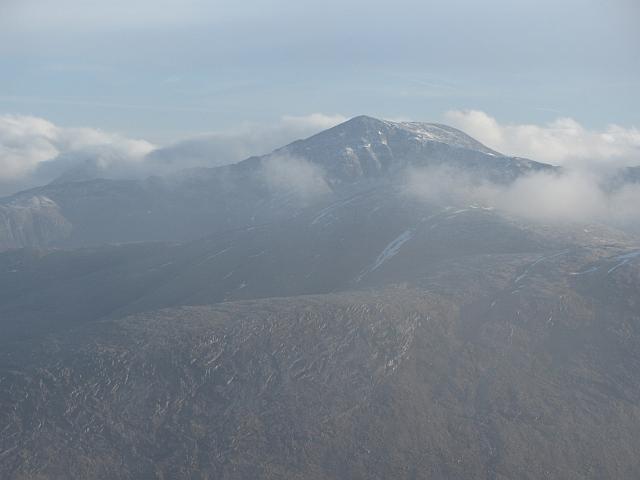 Photo could not load
NN1242 : Ben Starav
Richard Webb
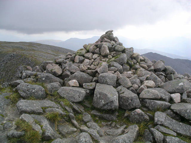 Photo could not load
NN1242 : Ben Starav : Munro No 63
Graham Ellis
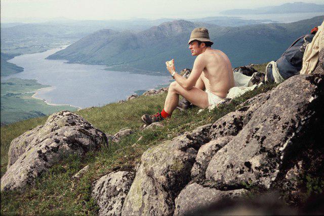 Photo could not load
NN1242 : Summit Ben Starav
ronnie leask
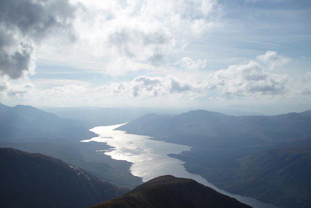 Photo could not load
NN1242 : Loch Etive
Sharon Loxton
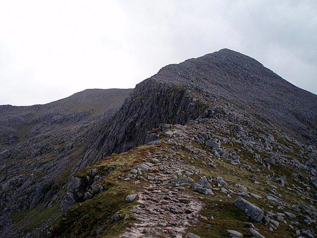 Photo could not load
NN1242 : Almost there!
Sharon Loxton
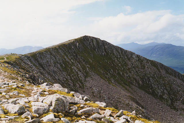 Photo could not load
NN1242 : The summit of Ben Starav
Nigel Brown
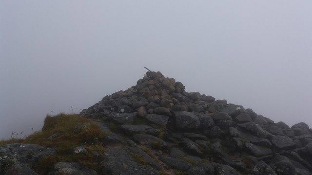 Photo could not load
NN1242 : Ben Starav summit
Stephen Sweeney
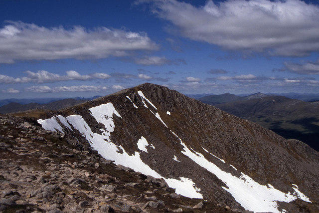 Photo could not load
NN1242 : The summit of Ben Starav
Colin Park
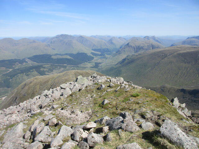 Photo could not load
NN1242 : Summit area of Ben Starav
Scott Cormie
Hill facts and local notes
Classifications
Elevation
1,080m
3,542 ft
Prominence
449m
Coordinates
56.5389, -5.0498
NN125427
OS Map
50
Explorer: 377W
At the Summit
DoBIH records a cairn at the summit, NN 12578 42706, and states that the trig point has been destroyed. The surveyed height is 1079.5 m; older guides describing a 1078 m trig summit are out of date on these details.
Terrain & Geology
The mountain is associated with the Starav granite intrusion, part of the Etive pluton. BGS describes porphyritic and non-porphyritic monzogranite; the older memoir describes pink quartz-rich granite with prominent feldspars at its margin.
Views & Scenery
Views over Loch Etive towards Ben Cruachan, with Bidean nam Bian and other Highland mountains around the skyline when visibility permits.
History & Heritage
Name Origin
The derivation of Starav is uncertain in the sources checked; no definitive English translation is given here.
Historical Significance
Ben Starav is a Munro above Glen Etive. Its retained DoBIH survey record identifies Leica RX1250 measurements and a revision dated 15 December 2019; the current primary record provides the cairn and destroyed-trig description.
Getting There & Facilities
Parking
The described circuit starts at the roadside layby opposite the Coileitir track in Glen Etive, NN136468. This is not the road-end parking by Loch Etive. Obey current signs, leave estate access clear and do not use passing places as parking.
Public Transport
Walkhighlands lists no public transport at the Coileitir start. A82 coach services serving the wider Glencoe area do not deliver walkers to this Glen Etive trailhead; arrange the onward journey and return separately.
Nearby Facilities
Carry food and water for the full mountain circuit. No café or public toilets are verified at the Coileitir start. Glencoe visitor centre has a café, shop and toilets away from the trailhead, subject to opening; public toilets are also identified by NTS in Glencoe village.
Safety Information
Known Hazards
- Long sustained ascent and further climbing between summits make the circuit physically demanding.
- Narrow rocky ridges and steep crags require care, especially near Stob Coire Dheirg; its northward false ridge is not the onward route.
- Mist can hide the southeast-ridge descent from the summit area. Carry independent navigation and allow time for route-finding.
- Wet rock, bogs, strong winds, snow and ice increase difficulty. Winter conditions require appropriate skills and equipment.
- Follow current deer-management notices and preferred routes; seasonal access information is not a guarantee that no work is taking place.
General Safety Tips
- Check weather conditions before setting out
- Carry appropriate clothing and equipment
- Let someone know your planned route
- Take a map, compass, and GPS device
- Carry emergency supplies: food, water, first aid kit, torch
Hills
Some common questions about the hills answered
Are there group walks up Ben Starav?
Many walkers use Walkmates to join or organise walks with others. You can check for group walks around Ben Starav through the maps
Are there other walkers around Ben Starav?
Activity varies by location and time, but Walkmates lets you see whether others have shared walks or shown interest in this area. Find other people through the walking friends search walking friends for Ben Starav search or of course create your own walk for Ben Starav
Can I organise a walk to Ben Starav?
Yes. If there aren’t any walks listed already, you can create a walk and make it available for others to join.
If you're signed up to Walkmates, you can create a walk to Ben Starav.
How do I find a walk up this hill?
There are often multiple ways to walk this hill, depending on experience and route preference. Walkmates helps you explore walks and routes that others have shared.
Can I suggest a new route up Ben Starav?
Yes. You can suggest or create routes to share with others. Walkmates focuses on the social side of walking, so routes are used to help people organise walks and explore areas together, rather than as detailed navigation tools or route libraries.
Other uses really appreciate knowledgeable walkers sharing their routes. Share your favourite route to Ben Starav here
The is an error or something incorrect about this hill. How do I let you know?
We always strive to keep the information on Walkmates as accurate as possible. If you find an error, please let us know through the contact form and we'll aim to correct it as quickly as possible
Community Discussion
Comments
Location
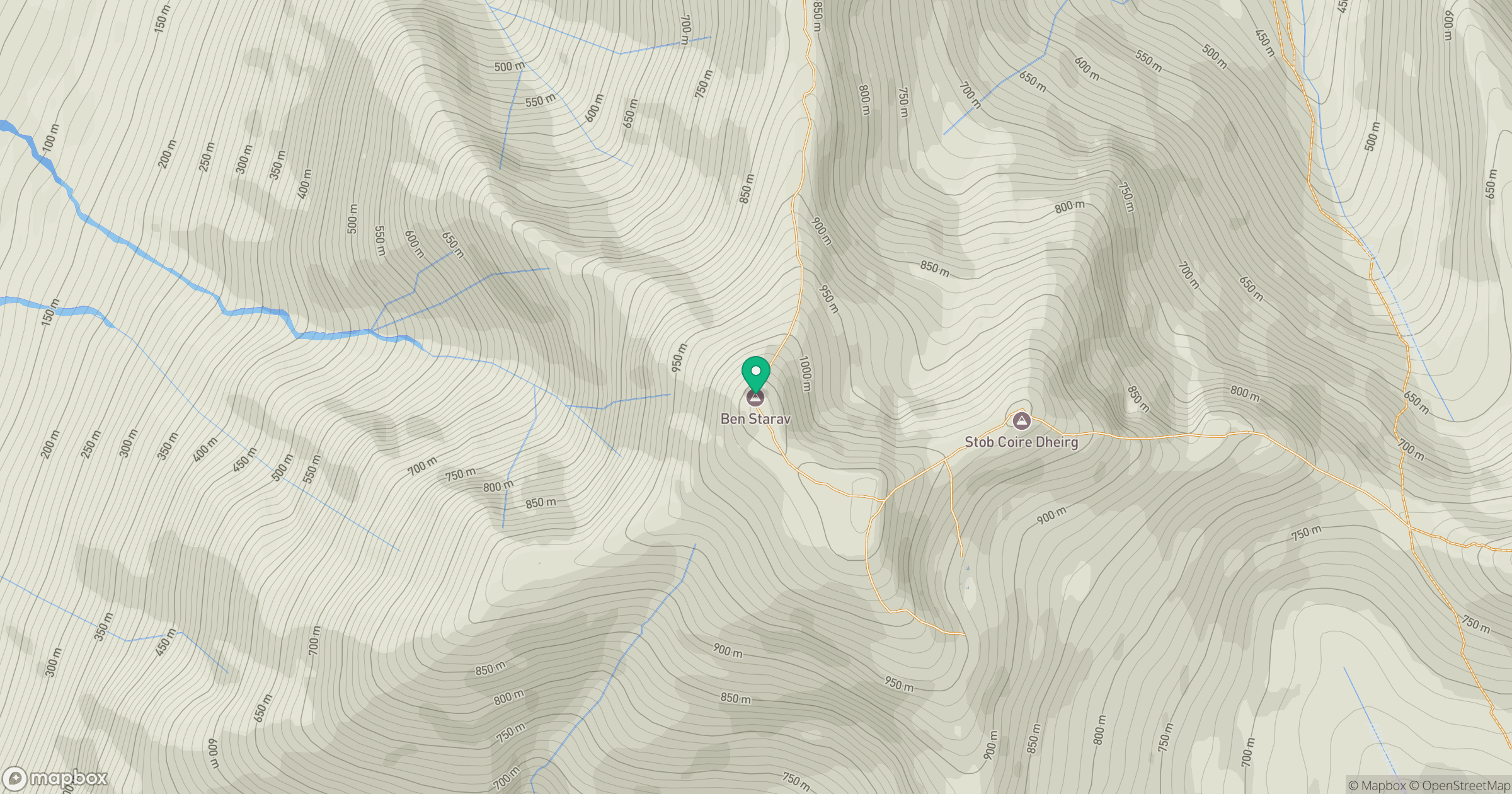
Grid reference: NN125427
View on OpenStreetMapOpens a map in a new tab, centred on the hill.
No comments yet. Be the first.