

St Tudwal's Island West
Good walks are even better shared.
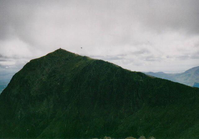
SH3324 : St. Tudwal's Island West
Gareth James Photo source
Overview
St Tudwal's Island West
Nestled off the stunning Llyn Peninsula, St Tudwal's Island West is more than just a collection of rocks in the briny blue; it’s a haven for both history buffs and nature lovers alike.
Geology
Composed primarily of ancient sedimentary rocks from the Ordovician period, the island serves as an open book of geological history. Keep your eyes peeled for fascinating fossils embedded in the rocks, remnants of a time when this land was underwater.
Access and Parking
Accessing St Tudwal's Island West is as easy as pie—provided you have a boat! Typically, hikers begin their journey at the bustling village of Abersoch, where you can find various parking options. Remember to arrive early during peak seasons if you wish to avoid circling the blocks like a dog chasing its tail.
Buses from nearby Pwllheli can whisk you to Abersoch, but be aware that public transport might be about as frequent as a solar eclipse outside the summer months.
The Route
Considering the island's modest elevation, the most popular route involves a lovely boat ride to the island, followed by a gentle stroll from the landing point to the summit. In total, you're looking at around 1 kilometre and a leisurely hour-and-a-half—perfect for a pleasant afternoon jaunt.
Summit Features
Upon reaching the summit, you will be greeted by a small stone cairn and a mysterious post that jokingly seems to ask, 'Why did I end up here?' The surrounding views will make the ascent feel like a piece of cake after all.
Terrain and Views
As for the terrain, it’s predominantly grassy with a few rocky outcrops. The summit area is a delightful flat space, allowing you to soak in panoramic views of the Llyn Peninsula, Snowdonia's majestic heights, and the calm waters of Cardigan Bay. If you’re keen on photography, the spring and summer months bless you with a riot of colours that frame your view beautifully.
Hazards
While the island enchants, be vigilant of the strong tides that swirl around it. A little knowledge of tidal tables could spare you from an unexpected swim.
Facilities
Back on the mainland, Abersoch offers a wealth of cafes, restaurants, and public conveniences to cater to your every need. Fuel up with some local delicacies before embarking on your marine adventure!
History
The island is named after the 6th-century saint Tudwal, and its historical significance runs deep with ties to local legends and old pilgrimage routes. A real treat for those who find magic in the stories of yore.
In essence, St Tudwal's Island West is a delightful destination that succinctly combines natural beauty, fascinating geological history, and a sprinkle of Welsh legend, making it a perfect spot for a day trip or a quick getaway. Get out there and explore!
Explore routes near St Tudwal's Island West
Walks starting near this hill. Open a route to check its map, distance and full itinerary.
Yr Eifl and the Gyrns guided mountain walk
View route
Northern Rhinogydd guided mountain walk
View route
Beddgelert Forest: Llyn Llywelyn Woodland Circuit
View route
Beddgelert Forest: Derwen Circuit and Llyn Llywelyn
View route
Route planning notes
These notes describe possible approaches. Check a route's map and access information when planning your walk.
Boat Landing
The most common route starts with a boat trip from Abersoch, leading to the landing area on the island. From there, a short walk ascends to the summit, offering stunning views of the surrounding coastline.
Make a day of it, together
Find someone to share the walk with, or organise a day out along a route you like.
Photo Gallery
View all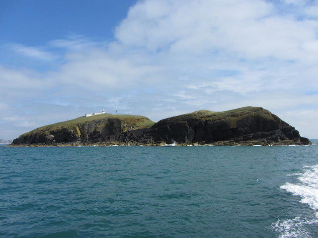 Photo could not load
SH3324 : St. Tudwal's Island West
Gareth James
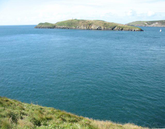 Photo could not load
SH3325 : St Tudwal's Island West
David Purchase
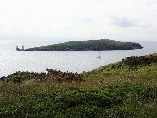 Photo could not load
SH3325 : Ynys Tudwal Fawr/St Tudwal's Island West
Eirian Evans
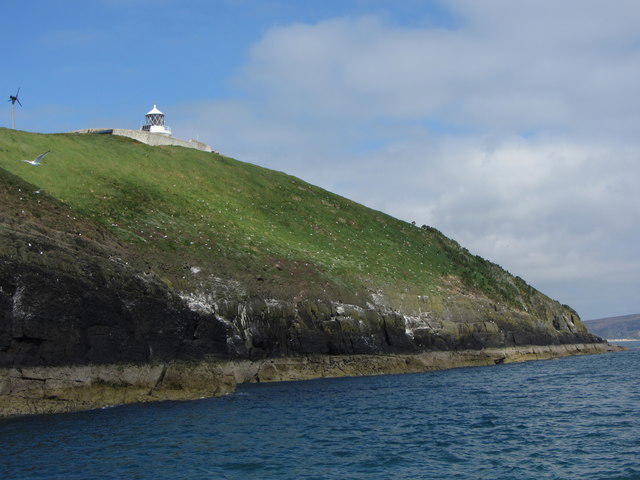 Photo could not load
SH3325 : St. Tudwal's Island West
Gareth James
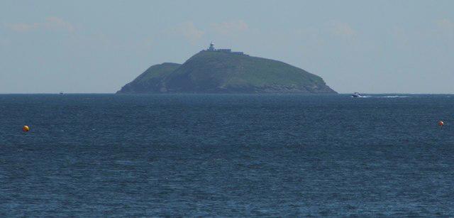 Photo could not load
SH3325 : St Tudwal's Island West from Llanbedrog beach
Anthony Parkes
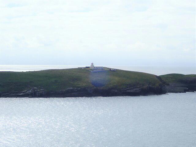 Photo could not load
SH3325 : Lighthouse on St Tudwal's Island West
Eirian Evans
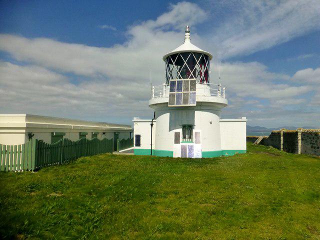 Photo could not load
SH3325 : St Tudwal's Island West
Rude Health
Hill facts and local notes
Classifications
Elevation
43m
142 ft
Prominence
43m
Coordinates
52.7984, -4.4712
SH334251
OS Map
123
Explorer: 253
At the Summit
The summit features a small stone cairn and a weathered post that may make you wonder if it's a remnant of an ancient surveyor's plans gone awry.
Terrain & Geology
St Tudwal's Island West is primarily composed of ancient sedimentary rocks, typical of the region, originating from the Ordovician period. These rocks are characterised by their twisted structures and occasionally showcase interesting fossils, a testament to the island's geological history.
Views & Scenery
From the summit, enjoy panoramic views of the Llyn Peninsula, the Snowdonia range to the north, and the shimmering waters of Cardigan Bay. On clear days, the distant mountains provide a picturesque backdrop.
History & Heritage
Name Origin
Named after St. Tudwal, a 6th-century saint, the name reflects the island's historical connection to Welsh Christianity.
Historical Significance
The island has been a pilgrimage site and is tied to local legends, adding a layer of cultural intrigue to your hike.
Getting There & Facilities
Parking
Abersoch has ample parking options, including on-street and car parks, but be prepared to arrive early in peak seasons to secure a spot.
Public Transport
Buses from Pwllheli run to Abersoch, making it accessible, although connections may be limited outside summer.
Nearby Facilities
Abersoch offers a selection of cafes, restaurants, and public toilets, ensuring your culinary needs and comfort are met before and after your adventure.
Safety Information
Known Hazards
- Strong tides around the island; ensure to check tidal tables before venturing out and beware of slippery rocks.
General Safety Tips
- Check weather conditions before setting out
- Carry appropriate clothing and equipment
- Let someone know your planned route
- Take a map, compass, and GPS device
- Carry emergency supplies: food, water, first aid kit, torch
Hills
Some common questions about the hills answered
Are there group walks up St Tudwal's Island West?
Many walkers use Walkmates to join or organise walks with others. You can check for group walks around St Tudwal's Island West through the maps
Are there other walkers around St Tudwal's Island West?
Activity varies by location and time, but Walkmates lets you see whether others have shared walks or shown interest in this area. Find other people through the walking friends search walking friends for St Tudwal's Island West search or of course create your own walk for St Tudwal's Island West
Can I organise a walk to St Tudwal's Island West?
Yes. If there aren’t any walks listed already, you can create a walk and make it available for others to join.
If you're signed up to Walkmates, you can create a walk to St Tudwal's Island West.
How do I find a walk up this hill?
There are often multiple ways to walk this hill, depending on experience and route preference. Walkmates helps you explore walks and routes that others have shared.
Can I suggest a new route up St Tudwal's Island West?
Yes. You can suggest or create routes to share with others. Walkmates focuses on the social side of walking, so routes are used to help people organise walks and explore areas together, rather than as detailed navigation tools or route libraries.
Other uses really appreciate knowledgeable walkers sharing their routes. Share your favourite route to St Tudwal's Island West here
The is an error or something incorrect about this hill. How do I let you know?
We always strive to keep the information on Walkmates as accurate as possible. If you find an error, please let us know through the contact form and we'll aim to correct it as quickly as possible
Community Discussion
Comments
Location
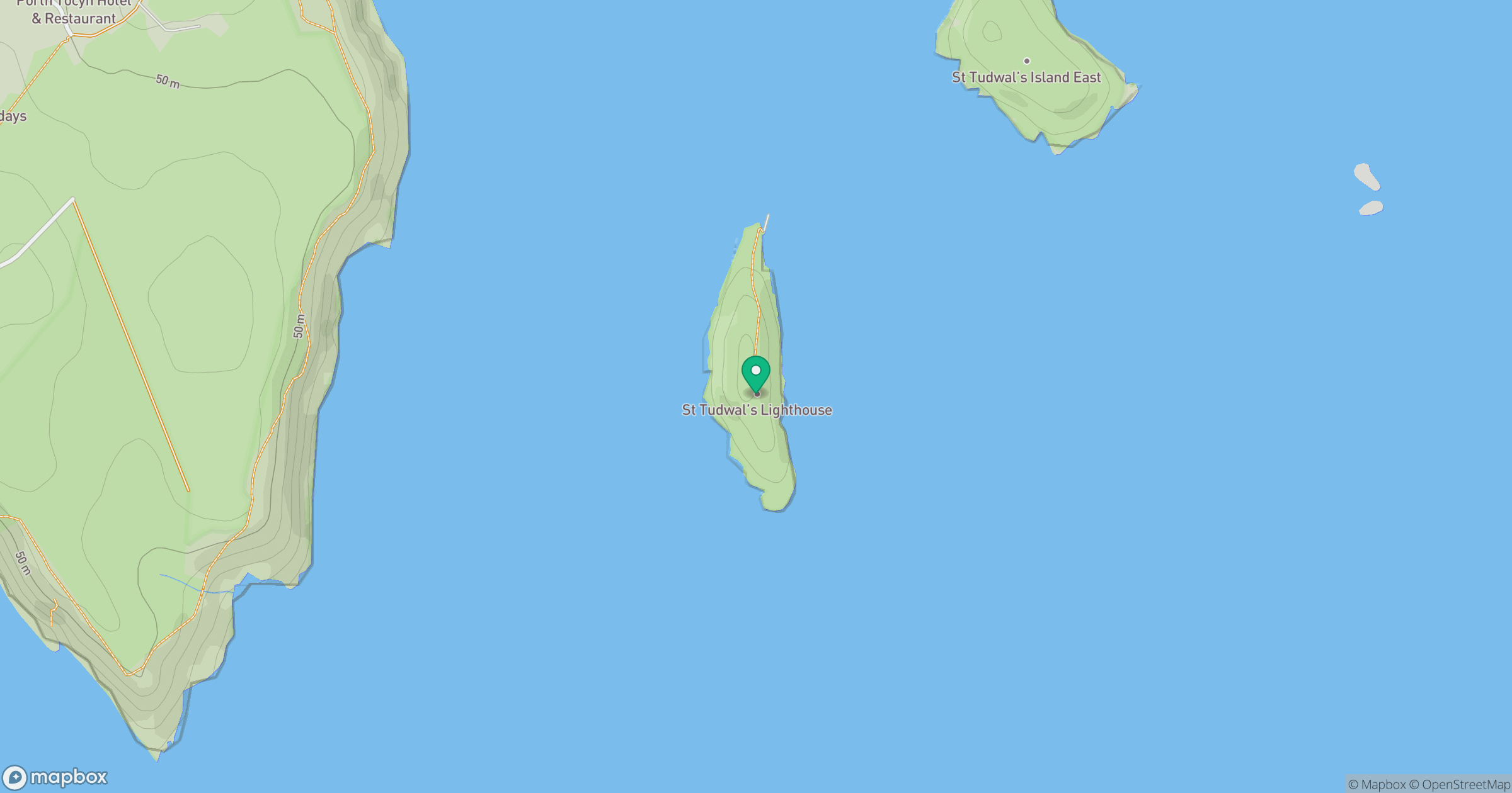
Grid reference: SH334251
View on OpenStreetMapOpens a map in a new tab, centred on the hill.
No comments yet. Be the first.