

Sir William Hill
Good walks are even better shared.
Overview
Sir William Hill
Sir William Hill is an inviting destination nestled in the stunning expanse of the Peak District. Standing tall at 479 meters, this Marilyn beckons hikers of all levels to explore its rocky delight.
Geology
As mentioned earlier, the hill's structure is predominantly gritstone, a rock formation that exhibits durability and provides excellent grip. This rock formation has shaped the landscape, making for both a challenging climb and an equally rewarding descent.
Route Information
The most popular route to Sir William Hill starts at Hollins Cross. This 3.5 km trail takes approximately one hour to traverse, catering to moderate hikers. The terrain offers a mix of grassy patches and rocky sections, ensuring you have both solid footing and the occasional scramble to keep things interesting.
Summit Features
At the summit, the rocky outcrop offers a wonderful view of the surrounding peaks, including the well-known Mam Tor. The landscape sprawls out before you, a painter's palette of greens and browns scattered with the occasional sheep!
Views
The panoramas from the top are nothing short of spectacular. Grab your camera, as the sights stretch to Kinder Scout and beyond. For those with a bit of patience, the best views are generally seen in late spring and early autumn, when Mother Nature outdoes herself with vibrant colours and clear skies.
Hazards
While this hill isn’t known for dangerous cliffs, one still needs to watch out for loose rocks and slippery spots, especially after rainy spells. A misplaced foot can lead to humorous tumbles, but let’s keep it from turning into a full-blown slapstick routine!
Nearby Summits
For those looking to extend their adventure, nearby summits include Mam Tor and Lose Hill, both offering varied landscapes and more stunning views.
Access and Facilities
Hollins Cross car park is your best bet for parking, and if you’re relying on public transport, numerous bus services operate from surrounding towns. The quaint village of Hope is just a stone's throw away and features several cafes where you can refuel after your adventure.
History
The name 'Sir William' conjures up images of knights and noble deeds, while the hill carries tales of its own, linked to the rich sheep farming and industrial heritage of the region.
Conclusion
Sir William Hill is more than just a climb; it's a delightful romp through the English countryside, adorned with history, geology, and views to make your heart sing. So, lace up those boots and get ready for an unforgettable outdoor experience!
Explore routes near Sir William Hill
Public walks starting within 80 km of this hill. Nearby does not mean a route reaches the summit; check its map and access before setting out.
Padley Gorge and Carl Wark
View route
Hathersage festive guided walk
View route
White Edge, Curbar Edge, Froggatt Edge loop.
View route
Miller’s Dale to Bakewell guided walk
View route
Route planning notes
These notes describe possible approaches, not verified navigable routes or permission to cross land. Check current paths, local access rules and conditions before setting out.
Hollins Cross to Sir William Hill
This scenic route starts from Hollins Cross, offering a gentle ascent through charming pastures and rocky outcrops.
Make a day of it, together
Find someone to share the walk with, or organise a day out along a route you like.
Photo Gallery
View all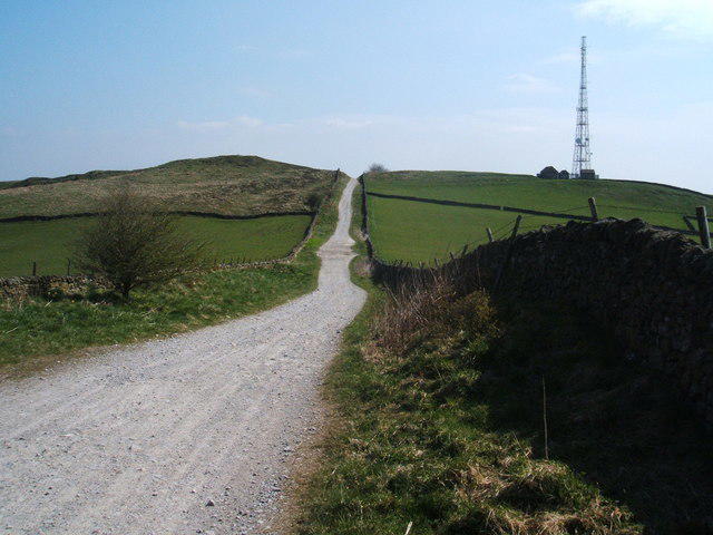 Photo could not load
SK2177 : Sir William Hill Road
Peter Barr
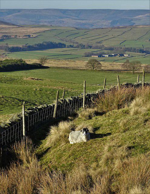 Photo could not load
SK2177 : A sheep on Sir William Hill
Neil Theasby
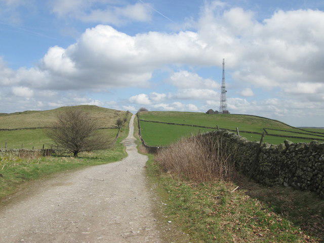 Photo could not load
SK2177 : Sir William Hill Road from Broad Low
John Slater
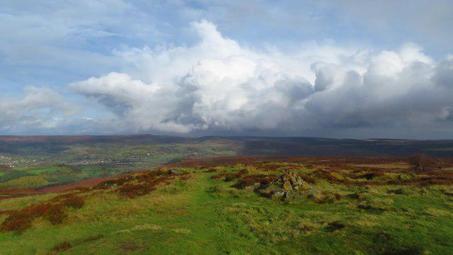 Photo could not load
SK2177 : Path running north from Sir William Hill
Colin Park
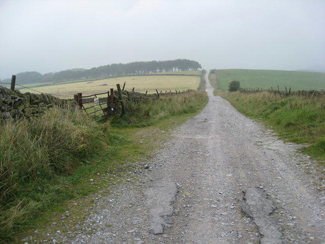 Photo could not load
SK2177 : Sir William Hill Road
Alan Heardman
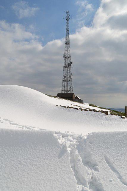 Photo could not load
SK2177 : Sir William Hill - April snowdrift and mast
Neil Theasby
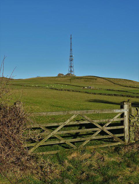 Photo could not load
SK2177 : Another view of the mast on Sir William Hill
Neil Theasby
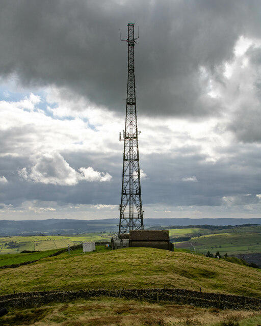 Photo could not load
SK2177 : Sir William Hill
Peter McDermott
 Photo could not load
SK2177 : Sir William Hill Communications Mast
Stephen Burton
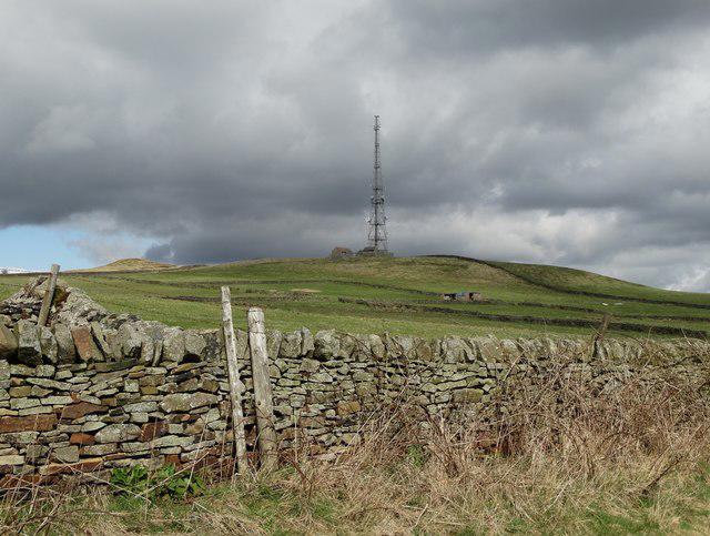
SK2177 : View of the mast on Sir William Hill
Neil Theasby
Hill facts and local notes
Classifications
Elevation
429m
1,407 ft
Prominence
123m
Coordinates
53.2975, -1.6784
SK215778
OS Map
119
Explorer: OL24E
At the Summit
The summit features a small rocky outcrop with scattered boulders and a delightful view that will make you want to whip out your camera faster than a squirrel at a nut festival!
Terrain & Geology
Sir William Hill is primarily composed of gritstone, a tough sedimentary rock that formed during the Carboniferous period. This type of rock is great for holding a foothold, so you won't be slipping around like a greased pig!
Views & Scenery
On a clear day, you can see the rolling hills of the Peak District and landmarks such as Mam Tor and Kinder Scout.
History & Heritage
Name Origin
The name 'Sir William' is said to evoke a sense of nobility; while 'Hill' is quite straightforward, unlike the climbing conditions it can present!
Historical Significance
This area has a rich history, tied deeply to sheep farming and the local mining heritage.
Getting There & Facilities
Check current local access restrictions, parking rules and transport timetables before travelling. These notes do not confirm public access to the summit.
Parking
There is parking available at the Hollins Cross car park, which serves as an excellent starting point for the hike.
Public Transport
Bus services regularly run from nearby towns like Castleton and Hope, making it accessible for those not keen on driving.
Nearby Facilities
There are a few cafes in Hope, serving snacks and hot drinks, plus public toilets available for your convenience.
Safety Information
Known Hazards
- Careful of loose stones and wet patches, especially after rain. Watch your step or you might find yourself doing the Highland Fling!
General Safety Tips
- Check weather conditions before setting out
- Carry appropriate clothing and equipment
- Let someone know your planned route
- Take a map, compass, and GPS device
- Carry emergency supplies: food, water, first aid kit, torch
Hills
Some common questions about the hills answered
Are there group walks up Sir William Hill?
Many walkers use Walkmates to join or organise walks with others. You can check for group walks around Sir William Hill through the maps
Are there other walkers around Sir William Hill?
Activity varies by location and time, but Walkmates lets you see whether others have shared walks or shown interest in this area. Find other people through the walking friends search walking friends for Sir William Hill search or of course create your own walk for Sir William Hill
Can I organise a walk to Sir William Hill?
Yes. If there aren’t any walks listed already, you can create a walk and make it available for others to join.
If you're signed up to Walkmates, you can create a walk to Sir William Hill.
How do I find a walk up this hill?
There are often multiple ways to walk this hill, depending on experience and route preference. Walkmates helps you explore walks and routes that others have shared.
Can I suggest a new route up Sir William Hill?
Yes. You can suggest or create routes to share with others. Walkmates focuses on the social side of walking, so routes are used to help people organise walks and explore areas together, rather than as detailed navigation tools or route libraries.
Other uses really appreciate knowledgeable walkers sharing their routes. Share your favourite route to Sir William Hill here
The is an error or something incorrect about this hill. How do I let you know?
We always strive to keep the information on Walkmates as accurate as possible. If you find an error, please let us know through the contact form and we'll aim to correct it as quickly as possible
Community Discussion
Comments
Location
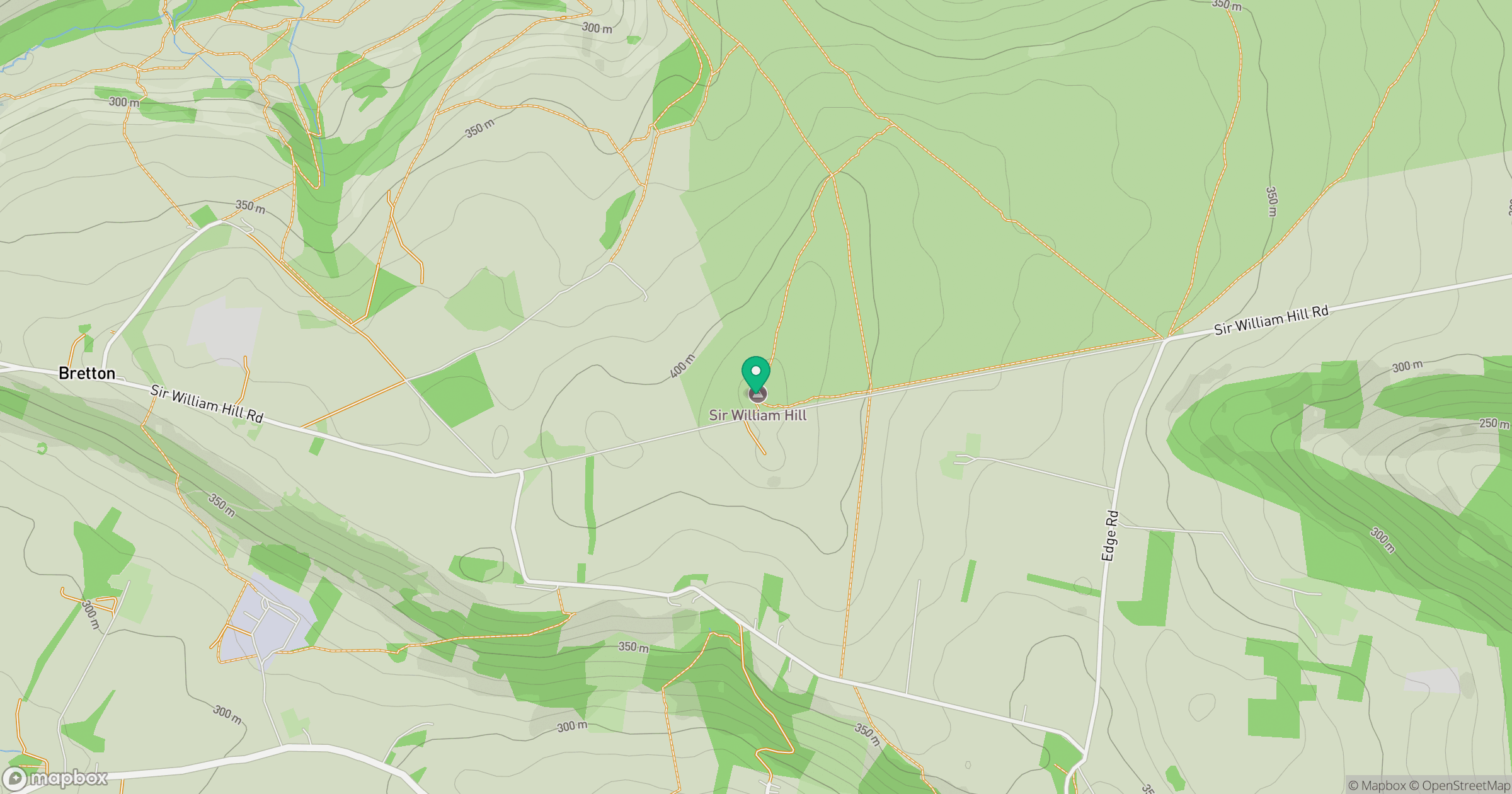
Grid reference: SK215778
View on OpenStreetMapOpens a map in a new tab, centred on the hill.
Hills within 30 km
Straight-line distance, not a walking route or confirmation of access.
No comments yet. Be the first.