
Round Hill
Good walks are even better shared.
Overview
Round Hill is a 686-metre summit in the North Pennines, Westmorland and Furness, England (grid NY744361).
Round Hill in Westmorland and Furness
Round Hill is a 686-metre summit in the North Pennines, Westmorland and Furness, England (grid NY744361).
The recorded summit marker is a small cairn, roughly 30 metres from a wall.
Route and access information for this hill has not been verified. The summit facts and map marker do not provide verified walking directions.
Source: Database of British and Irish Hills, version 18.3.
Explore routes near Round Hill
Public walks starting within 80 km of this hill. Nearby does not mean a route reaches the summit; check its map and access before setting out.
Allenheads heritage precinct and woodland return
View route
Long Meg and Lacy's Caves
View route
Stanhope, the River Wear and the Fossil Tree
View route
Blanchland Geotrail
View route
Route planning notes
These notes describe possible approaches, not verified navigable routes or permission to cross land. Check current paths, local access rules and conditions before setting out.
Ironstone Way (unverified)
Route details have not been verified for this hill. Check the location, access and distance before planning a walk. This route follows a historic railway line with an incline, winding through picturesque moorland and offering stunning vistas.
Make a day of it, together
Find someone to share the walk with, or organise a day out along a route you like.
Hill facts and local notes
Classifications
Elevation
686m
2,251 ft
Prominence
69m
Coordinates
54.7196, -2.3986
NY744361
OS Map
91
Explorer: OL31W
At the Summit
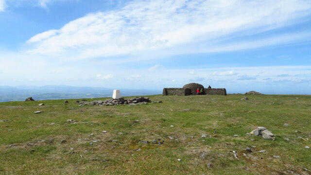
The summit is crowned by a simple stone cairn and offers a convenient resting spot for weary hikers to catch their breath (and maybe a snack or two).
Terrain & Geology
Predominantly composed of sandstone and mudstone, which provides a solid foundation for the hill and supports diverse vegetation.
History & Heritage
Name Origin
The name 'Round Hill' derives from its distinctive rounded shape that can be easily spotted from afar.
Historical Significance
Historically, the area was significant for its ironstone mining, leaving an intriguing legacy in the local landscape.
Safety Information
Known Hazards
- Watch out for sudden weather changes; the moors can be unpredictable. Also, keep an eye out for slippery stones and the occasional adventurous sheep!
General Safety Tips
- Check weather conditions before setting out
- Carry appropriate clothing and equipment
- Let someone know your planned route
- Take a map, compass, and GPS device
- Carry emergency supplies: food, water, first aid kit, torch
Hills
Some common questions about the hills answered
Are there group walks up Round Hill?
Many walkers use Walkmates to join or organise walks with others. You can check for group walks around Round Hill through the maps
Are there other walkers around Round Hill?
Activity varies by location and time, but Walkmates lets you see whether others have shared walks or shown interest in this area. Find other people through the walking friends search walking friends for Round Hill search or of course create your own walk for Round Hill
Can I organise a walk to Round Hill?
Yes. If there aren’t any walks listed already, you can create a walk and make it available for others to join.
If you're signed up to Walkmates, you can create a walk to Round Hill.
How do I find a walk up this hill?
There are often multiple ways to walk this hill, depending on experience and route preference. Walkmates helps you explore walks and routes that others have shared.
Can I suggest a new route up Round Hill?
Yes. You can suggest or create routes to share with others. Walkmates focuses on the social side of walking, so routes are used to help people organise walks and explore areas together, rather than as detailed navigation tools or route libraries.
Other uses really appreciate knowledgeable walkers sharing their routes. Share your favourite route to Round Hill here
The is an error or something incorrect about this hill. How do I let you know?
We always strive to keep the information on Walkmates as accurate as possible. If you find an error, please let us know through the contact form and we'll aim to correct it as quickly as possible
Community Discussion
Comments
Location
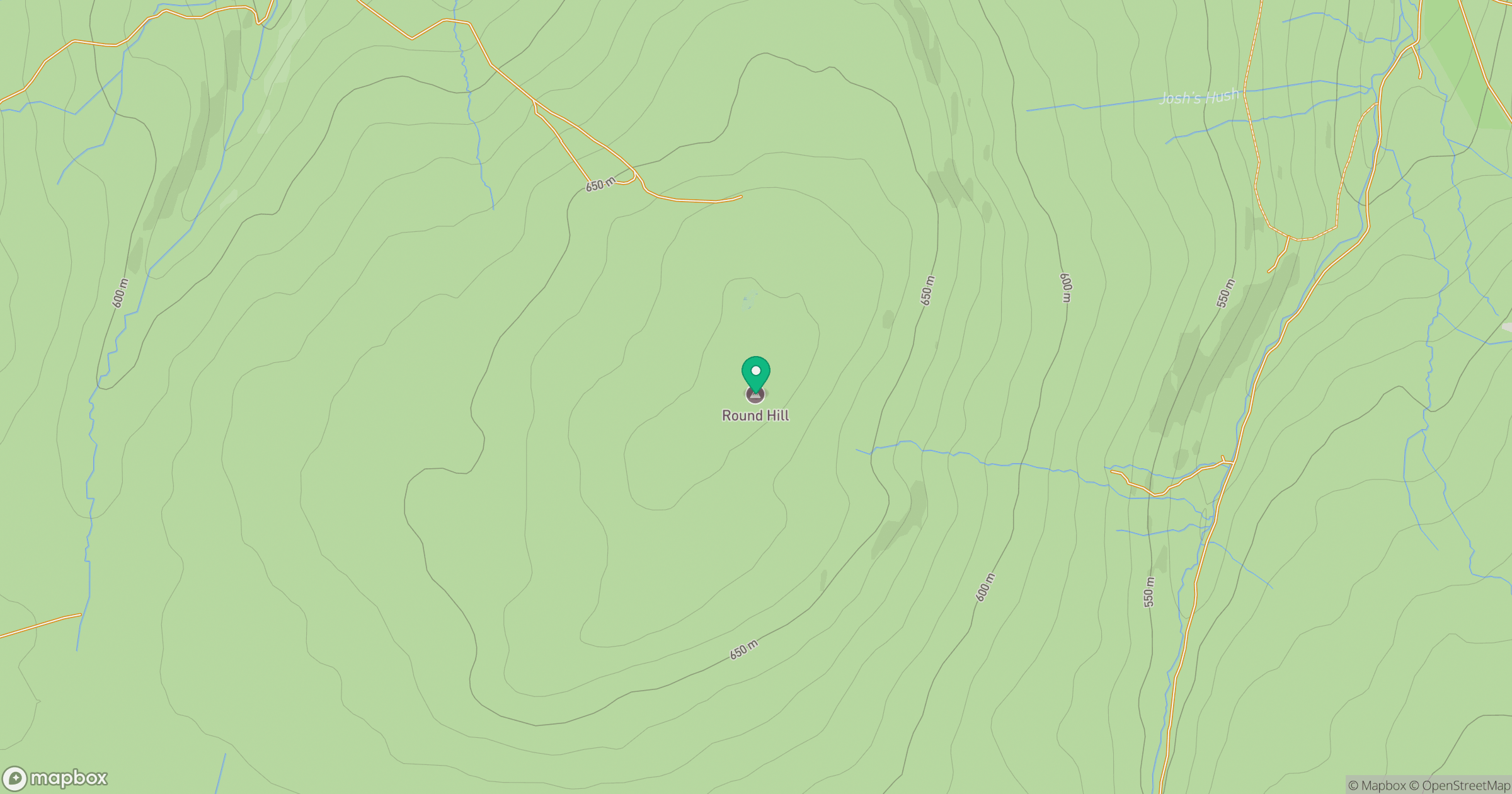
Grid reference: NY744361
View on OpenStreetMapOpens a map in a new tab, centred on the hill.
Hills within 30 km
Straight-line distance, not a walking route or confirmation of access.
No comments yet. Be the first.