

Mynydd Gethin
Good walks are even better shared.
Overview
Mynydd Gethin: A Hiker's Gem in South Wales
Mynydd Gethin stands majestically at 489 meters, offering outdoor enthusiasts a moderate adventure with stunning views. Nestled in the heart of South Wales, the mountain is a Hewitt and Marilyn, making it a beloved destination for casual walkers and seasoned hikers alike.
Geology
The mountain's geology is predominantly Old Red Sandstone, known for its striking reddish appearance. This rock type is noteworthy in the region, contributing to the unique landscape that attracts geologists and hikers.
Routes
A popular route to tackle is the Mynydd Gethin Circular. Not only does it cover about 8.5 km, but it also allows you to take in a variety of terrains, from charming woodlands to expansive moorland vistas. Expect to spend approximately 3.5 hours traversing this route, depending on how many times you stop to take pictures of your mates!
Summit Features
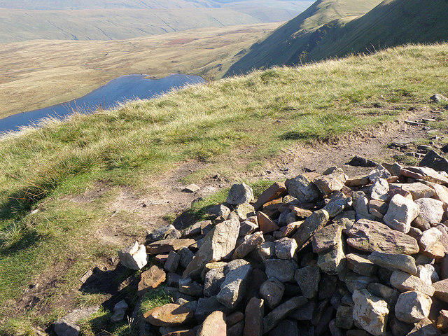
At the top, you'll be greeted by a sturdy stone cairn and the iconic trig point. These elements not only serve as navigational aids but also as perfect spots for a group photo. Just remember to smile and pretend you're not gasping for breath!
Terrain Type
The terrain is a delightful mix of grassy fields interspersed with rocky sections. Be warned, though—after a good rain, you may find some parts quite boggy. Bring waterproof boots unless you fancy a surprise splash.
Views
Mynydd Gethin offers breathtaking views, especially on clear days. You can gaze upon the Brecon Beacons and the undulating valleys of South Wales. In spring and early summer, the vibrant wildflowers complement the scenery beautifully, making your hike even more enjoyable.
Hazards
Like all great adventures, Mynydd Gethin comes with its own set of hazards. The rocks can be slippery when wet, and some trails may become quite boggy. Keep your wits about you, and avoid any spontaneous dips!
Nearby Summits
If you're feeling ambitious, nearby summits like Mynydd Maen (462 m) and Mynydd Troed (609 m) are ripe for exploration and add to your walking itinerary.
Access
Getting to Mynydd Gethin is straightforward. Park at the Treharris Leisure Centre (postcode: CF46 5HE) and kick off your hike from there. Regular buses run from Merthyr Tydfil and Cardiff, making public transport a viable option if you prefer to leave the car behind.
Facilities
Post-hike, Treharris has a few nice cafés to refuel, with public toilets available at the Leisure Centre—essential after a long trek!
History
The name 'Mynydd Gethin' evokes a sense of heritage, translating to 'Gethin Mountain' with roots in Welsh culture. This area has served locals for generations, providing a space not only for pastures but also for community strolls.
Overall, Mynydd Gethin is an engaging hike, perfect for those seeking a taste of Welsh nature without the daunting heights of some of its taller sisters. Lace up those boots and head out; adventure awaits!
Explore routes near Mynydd Gethin
Public walks starting within 80 km of this hill. Nearby does not mean a route reaches the summit; check its map and access before setting out.
Merthyr Tydfil with Men Walking & Talking
View route
Pen y Fan via Corn Du from Storey Arms
View route
A Very Merry Winter Walk ending with Cake & a Hot Drink!
View route
Aircraft Crash Site - Wellington Bomber and Vampire Jet (Black Mountain range)
View route
Route planning notes
These notes describe possible approaches, not verified navigable routes or permission to cross land. Check current paths, local access rules and conditions before setting out.
Mynydd Gethin Circular
A popular circular route starting from the village of Treharris, offering a mix of woodland, open moor and stunning views.
Make a day of it, together
Find someone to share the walk with, or organise a day out along a route you like.
Photo Gallery
View all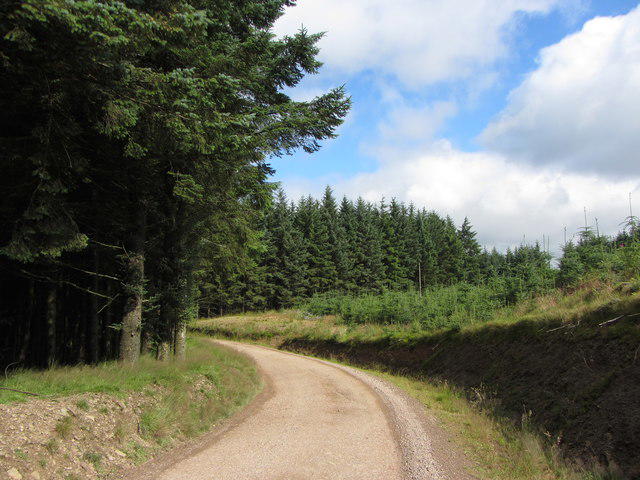 Photo could not load
SO0402 : Forestry track on Mynydd Gethin
Gareth James
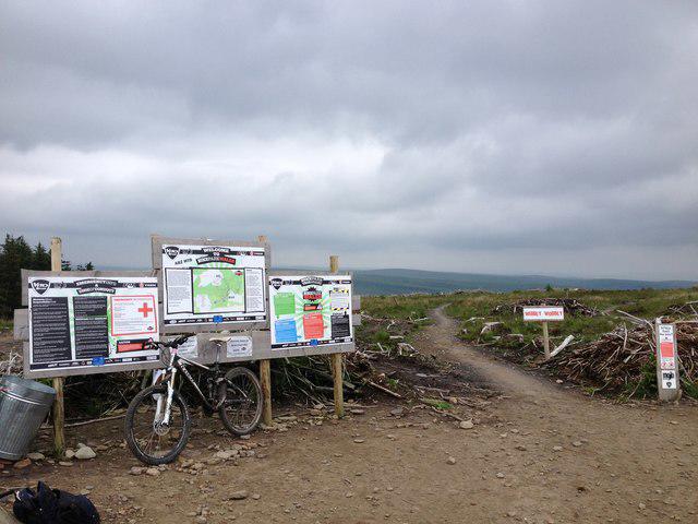 Photo could not load
SO0402 : Bike Park Wales: summit of Mynydd Gethin
Noel Jenkins
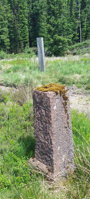 Photo could not load
SO0402 : Boundary Stone
Adrian Dust
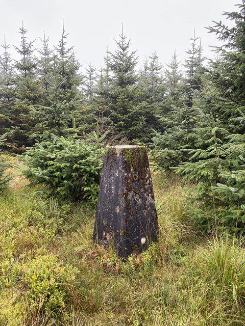 Photo could not load
SO0402 : Trig point on Mynydd Gethin
Alan Hughes
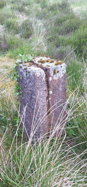 Photo could not load
SO0402 : Boundary Stone
Adrian Dust
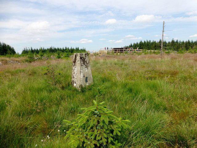 Photo could not load
SO0402 : Mynydd Gethin
Rude Health
Hill facts and local notes
Classifications
Elevation
492m
1,614 ft
Prominence
149m
Coordinates
51.7136, -3.3850
SO044025
OS Map
170
Explorer: 166E
At the Summit
The summit features a large stone cairn and a trig point, both of which make for excellent photo opportunities, especially if your friends think you're the next Bear Grylls.
Terrain & Geology
Predominantly composed of Old Red Sandstone, characterized by its reddish hue and forms part of the unique geology found in the South Wales Coalfield.
Views & Scenery
On a clear day, you can see the distant peaks of the Brecon Beacons, the rolling hills of the South Wales valleys, and even as far as Exmoor in the distance.
History & Heritage
Name Origin
Mynydd Gethin translates to 'Gethin Mountain', with 'Mynydd' meaning 'mountain' in Welsh, while 'Gethin' might reference a personal name from the region.
Historical Significance
The mountain has been a traditional outdoor space for locals for generations, often used for grazing and as a favourite walking route.
Getting There & Facilities
Check current local access restrictions, parking rules and transport timetables before travelling. These notes do not confirm public access to the summit.
Parking
Parking can be found at the Treharris Leisure Centre, where you can leave your car (postcode: CF46 5HE) and start your adventure.
Public Transport
Regular bus services run from Merthyr Tydfil and Cardiff to Treharris, making it accessible without a car.
Nearby Facilities
There are public toilets at the Treharris Leisure Centre and a couple of cafés nearby for those post-hike treats.
Safety Information
Known Hazards
- Beware of slippery rocks, particularly after rain. Also, parts of the moor can be boggy, so watch your step unless you want a surprise dunk.
General Safety Tips
- Check weather conditions before setting out
- Carry appropriate clothing and equipment
- Let someone know your planned route
- Take a map, compass, and GPS device
- Carry emergency supplies: food, water, first aid kit, torch
Hills
Some common questions about the hills answered
Are there group walks up Mynydd Gethin?
Many walkers use Walkmates to join or organise walks with others. You can check for group walks around Mynydd Gethin through the maps
Are there other walkers around Mynydd Gethin?
Activity varies by location and time, but Walkmates lets you see whether others have shared walks or shown interest in this area. Find other people through the walking friends search walking friends for Mynydd Gethin search or of course create your own walk for Mynydd Gethin
Can I organise a walk to Mynydd Gethin?
Yes. If there aren’t any walks listed already, you can create a walk and make it available for others to join.
If you're signed up to Walkmates, you can create a walk to Mynydd Gethin.
How do I find a walk up this hill?
There are often multiple ways to walk this hill, depending on experience and route preference. Walkmates helps you explore walks and routes that others have shared.
Can I suggest a new route up Mynydd Gethin?
Yes. You can suggest or create routes to share with others. Walkmates focuses on the social side of walking, so routes are used to help people organise walks and explore areas together, rather than as detailed navigation tools or route libraries.
Other uses really appreciate knowledgeable walkers sharing their routes. Share your favourite route to Mynydd Gethin here
The is an error or something incorrect about this hill. How do I let you know?
We always strive to keep the information on Walkmates as accurate as possible. If you find an error, please let us know through the contact form and we'll aim to correct it as quickly as possible
Community Discussion
Comments
Location
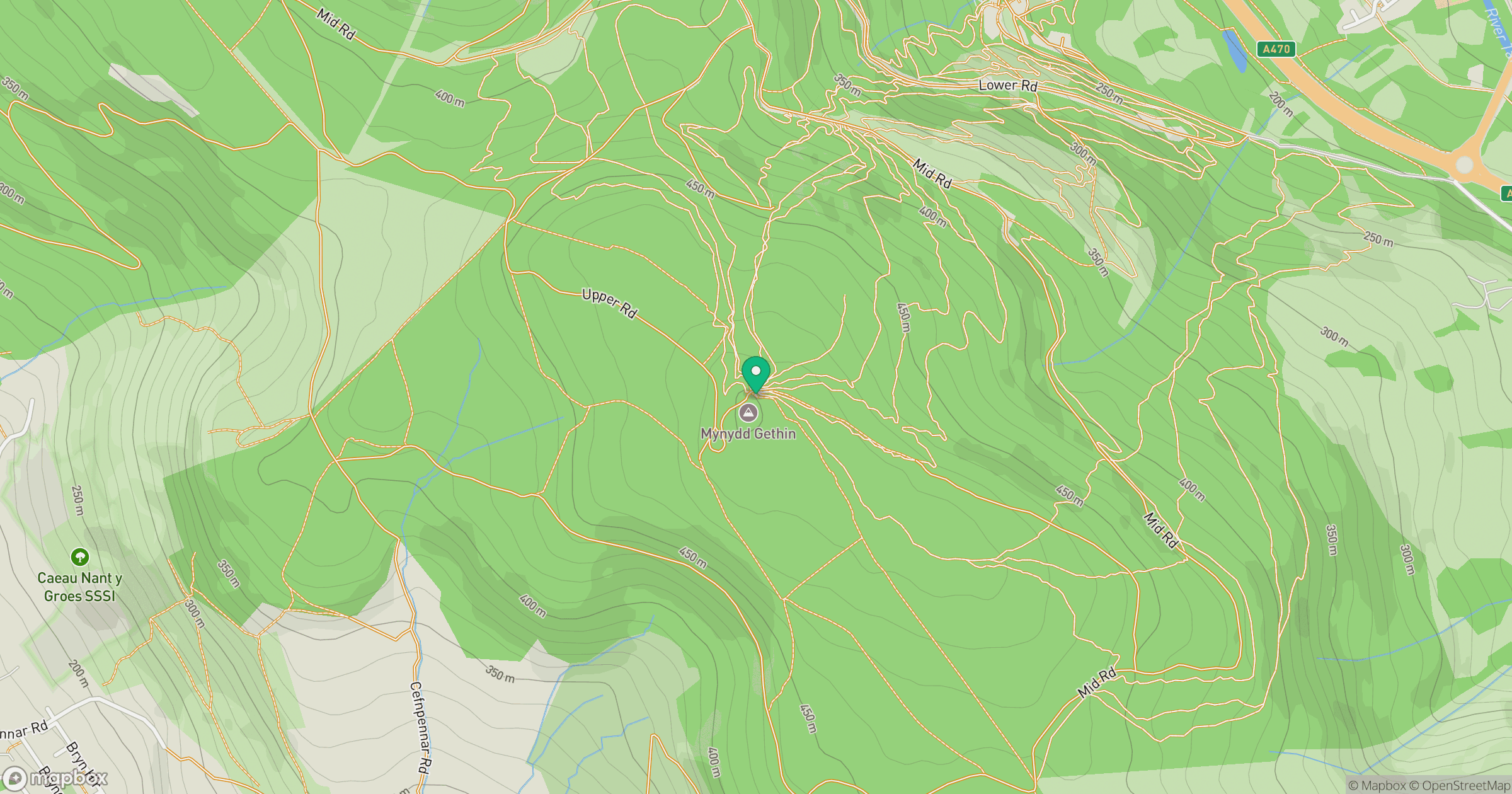
Grid reference: SO044025
View on OpenStreetMapOpens a map in a new tab, centred on the hill.
Hills within 30 km
Straight-line distance, not a walking route or confirmation of access.
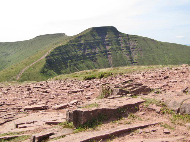
Cribyn
794m
Pen y Fan
886m
Fan Gyhirych
726m
Fan Brycheiniog - Twr y Fan Foel
802m
Cefn yr Ystrad
617m
No comments yet. Be the first.