

Mynydd Llangynidr
Good walks are even better shared.
SO1215 : Garn Fawr, a big cairn
Graham Cole Photo source
Overview
Mynydd Llangynidr
Mynydd Llangynidr is a splendid peak nestled in the heart of the Brecon Beacons National Park, standing at an elevation of 486 meters. As a Marilyn, it offers hikers a unique experience with its relatively modest height but striking features.
Geology
The geological composition of Mynydd Llangynidr is primarily Old Red Sandstone, which is fascinating to explore. The vibrant colours and unique rock formations offer a glimpse into ancient geological processes that shaped this landscape.
Routes
There are multiple routes to the summit, each weaving through stunning scenery:
- Llangynidr Village to Summit: A 6 km route that provides a moderate challenge, rewarding hikers with breathtaking views at the top.
- Pont y Bwlch Route: This 8 km path is a delight, meandering through lush valleys and woodlands, ideal for those wanting a bit of everything!
Summit Features
Upon reaching the summit, hikers will find a trig point, a classic British hiking marker. It’s the perfect spot to catch your breath and snap a few photos to make your friends jealous.
Terrain Type
Expect a mix of grassy fields and rocky outcroppings. Keep your eyes peeled for those little muddy patches that seem to appear just when you least expect them!
Views
The summit offers breathtaking views of the Brecon Beacons and surrounding valleys. On a clear day, the Bristol Channel appears on the horizon, a sight you won’t want to miss!
- Best Seasons for Views: Spring and Autumn are ideal when the landscapes are blooming and the weather is clear, providing a perfect canvas for any photography enthusiasts.
Hazards
While Mynydd Llangynidr isn’t overly treacherous, do keep an eye out for slippery spots post-rain and the occasional adventurous sheep that may wander onto your path!
Nearby Summits
Don’t forget to check out nearby peaks such as Pen y Fan and Cribyn, both offering their own unique challenges and stunning views.
Access
Parking is available at a small layby near Llangynidr, but arrive early to secure your spot. Public transport is also an option, with buses running regularly from Brecon and Abergavenny—just be sure to check the timetable!
Facilities
After your hike, treat yourself at one of the local cafes or pubs in Llangynidr. A well-deserved pint or slice of cake is a fitting celebration of your adventure!
History
The name Mynydd Llangynidr reflects its rich cultural heritage. 'Llan' refers to the church and 'Cynidr' to a local saint, highlighting the mountain's historical significance in the area.
In summary, Mynydd Llangynidr is a gem for hikers, offering a variety of routes, stunning views, and rich history. Whether you're a seasoned pro or a casual adventurer, this mountain is sure to leave a lasting impression!
Explore routes near Mynydd Llangynidr
Walks starting near this hill. Open a route to check its map, distance and full itinerary.
A Very Merry Winter Walk ending with Cake & a Hot Drink!
View route
Merthyr Tydfil with Men Walking & Talking
View route
Pen y Fan via Corn Du from Storey Arms
View route
Brecon Basin to Brynich Aqueduct: Canal Towpath Walk
View route
Route planning notes
These notes describe possible approaches. Check a route's map and access information when planning your walk.
Llangynidr Village to Summit
A rewarding uphill trek starting from the quaint village of Llangynidr. The path offers a steady ascent with plenty of scenic spots for a breather.
Pont y Bwlch Route
A varied route that meanders through beautiful valleys and passes by ancient woodlands before hitting the summit. A great choice for those looking to take in the surroundings.
Make a day of it, together
Find someone to share the walk with, or organise a day out along a route you like.
Photo Gallery
View all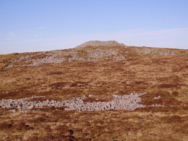 Photo could not load
SO1215 : Garn Fawr, a big cairn
Graham Cole
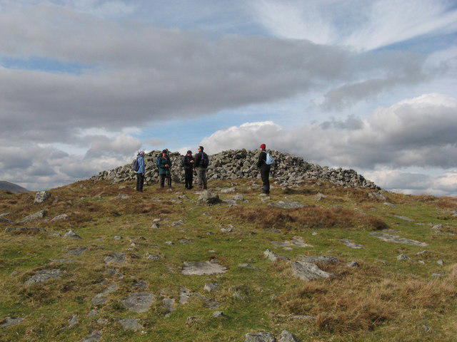 Photo could not load
SO1215 : Garn Fawr
Gareth James
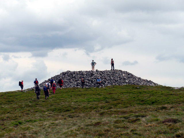 Photo could not load
SO1215 : Y Garn Fawr
Alan Richards
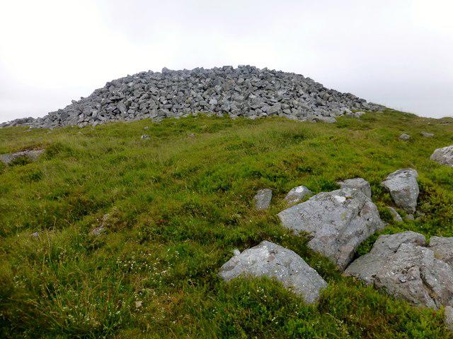 Photo could not load
SO1215 : Mynydd Llangynidr
Rude Health
Hill facts and local notes
Classifications
Elevation
558m
1,829 ft
Prominence
102m
Coordinates
51.8280, -3.2733
SO123151
OS Map
161
Explorer: OL13S
At the Summit
The summit features a trig point which offers a perfect photo opportunity. Don't forget to strike a pose with the stunning views as your backdrop!
Terrain & Geology
Mynydd Llangynidr is primarily formed of Old Red Sandstone, which lends itself to the stunning geological formations visible in the area. The rock strata tell tales of ancient river systems, making it a fascinating area for geology enthusiasts.
Views & Scenery
Panoramic views of the Brecon Beacons, the distant Black Mountains, and on a clear day, even the Bristol Channel!
History & Heritage
Name Origin
The name Llangynidr derives from the Welsh 'llan' meaning church, and 'Cynidr', a local saint.
Historical Significance
Historically, Mynydd Llangynidr has been a significant landmark for local communities, often referenced in folklore and regional tales.
Getting There & Facilities
Parking
You can park at the small layby near Llangynidr, which is free of charge but fills up quickly on sunny weekends.
Public Transport
Regular bus services run from nearby towns like Brecon and Abergavenny, but check schedules as they may vary.
Nearby Facilities
Llangynidr has a few local cafes and a lovely pub, ideal for a post-hike pint or a slice of cake. Toilets can be found in the village centre.
Safety Information
Known Hazards
- Be mindful of slippery sections after rain, and watch out for the occasional sheep crossing!
General Safety Tips
- Check weather conditions before setting out
- Carry appropriate clothing and equipment
- Let someone know your planned route
- Take a map, compass, and GPS device
- Carry emergency supplies: food, water, first aid kit, torch
Hills
Some common questions about the hills answered
Are there group walks up Mynydd Llangynidr?
Many walkers use Walkmates to join or organise walks with others. You can check for group walks around Mynydd Llangynidr through the maps
Are there other walkers around Mynydd Llangynidr?
Activity varies by location and time, but Walkmates lets you see whether others have shared walks or shown interest in this area. Find other people through the walking friends search walking friends for Mynydd Llangynidr search or of course create your own walk for Mynydd Llangynidr
Can I organise a walk to Mynydd Llangynidr?
Yes. If there aren’t any walks listed already, you can create a walk and make it available for others to join.
If you're signed up to Walkmates, you can create a walk to Mynydd Llangynidr.
How do I find a walk up this hill?
There are often multiple ways to walk this hill, depending on experience and route preference. Walkmates helps you explore walks and routes that others have shared.
Can I suggest a new route up Mynydd Llangynidr?
Yes. You can suggest or create routes to share with others. Walkmates focuses on the social side of walking, so routes are used to help people organise walks and explore areas together, rather than as detailed navigation tools or route libraries.
Other uses really appreciate knowledgeable walkers sharing their routes. Share your favourite route to Mynydd Llangynidr here
The is an error or something incorrect about this hill. How do I let you know?
We always strive to keep the information on Walkmates as accurate as possible. If you find an error, please let us know through the contact form and we'll aim to correct it as quickly as possible
Community Discussion
Comments
Location
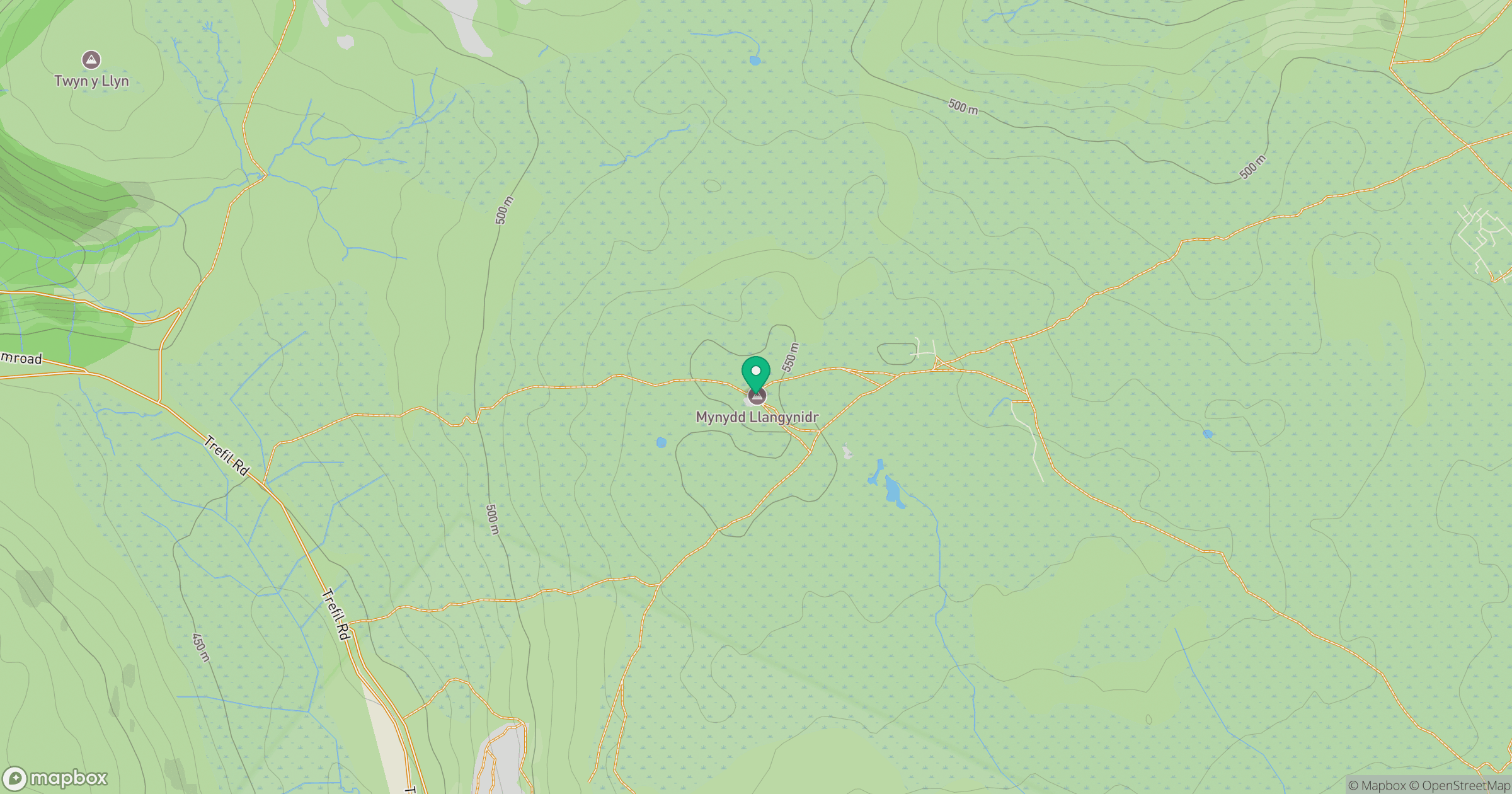
Grid reference: SO123151
View on OpenStreetMapOpens a map in a new tab, centred on the hill.


No comments yet. Be the first.