

Mwdwl-eithin
Good walks are even better shared.
SH9154 : Mwdwl-eithin
Anton Ciritis Photo source
Overview
Mwdwl-eithin: The Hidden Marvel of Snowdonia
Tucked away in the heart of Snowdonia, Mwdwl-eithin might not be the highest peak, but it certainly packs a punch in terms of scenic views and geological intrigue. With an elevation of 549 meters, this Marilyn invites hikers to explore its rolling green hills peppered with rocky outcrops.
Geology
The geological makeup of Mwdwl-eithin is primarily formed from basalt and rhyolite, remnants from ancient volcanic activity that once dominated the landscape. Hikers may find curiosity in the unique rock formations that add character to this charming hill.
Routes
The most popular route is the Hiraethog Circular Walk, stretching about 10 km, taking approximately 3.5 hours. It’s a moderately challenging walk that winds through the lush valleys before ascending the grassy slopes to the summit. Remember to pack a snack; the summit is just crying out for a spot of lunch.
Summit Features
At the summit, you’ll find a humble cairn, often adorned with well-placed stones by previous adventurers. It’s an ideal spot for soaking in the panoramic views and enjoying a well-deserved breather.
Terrain Type
Prepare for a variety of terrain, including grassy patches and rocky outcrops, with a few boggy spots to keep things interesting—nobody likes soggy socks!
Views
On a clear day, the views from Mwdwl-eithin are simply breathtaking. Catch sight of not only the towering Snowdon but also the mesmerizing Llyn Celyn basking in the lowland valleys. Spring and autumn are the best times for such views, as they offer clear visibility and delightful colours.
Hazards
As always, be cautious of the boggy areas, as they can be deceptively slippery. Stay on marked paths to avoid the steeper sections which could lead to tricky footing. A good pair of hiking boots is your best friend here!
Access
For those driving, you can park near the A5 with a short walk toward the trailhead. If you prefer public transport, buses from Betws-y-Coed will get you close, but be prepared for a bit of a trek to reach the starting point.
Facilities
You'll find plenty of conveniences in Betws-y-Coed—from cafes serving hot drinks to public toilets to refresh yourself before heading out into the wild.
History
The name Mwdwl-eithin has lovely etymological roots—'hill of the hay,' hinting at the farming history entrenched in this beautiful area. Locals would surely regale you with tales of folklore tied to this hidden gem.
Mwdwl-eithin may not be the steepest climb in Wales, but it’s a rewarding jaunt that offers both natural beauty and a hearty dose of Welsh charm. So lace up those hiking boots and set out to discover all that this wonderful mountain has to offer!
Explore routes near Mwdwl-eithin
Walks starting near this hill. Open a route to check its map, distance and full itinerary.
Arenig Fach guided mountain walk
View route
Llyn Crafnant: Lakeside Circuit from the NRW Car Park
View route
Aran Benllyn and Aran Fawddwy from LLanuwchllyn
View route
Snowdon Pyg Track returning by Miner's Track
View route
Route planning notes
These notes describe possible approaches. Check a route's map and access information when planning your walk.
Hiraethog Circular Walk
A scenic circular route starting from the car park near the A5 road, taking in the lush valleys and gentle climbs leading to the summit.
Make a day of it, together
Find someone to share the walk with, or organise a day out along a route you like.
Photo Gallery
View all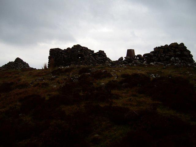 Photo could not load
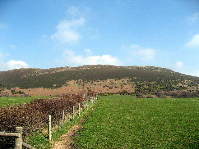
SH9154 : Mwdwl-eithin
Anton Ciritis
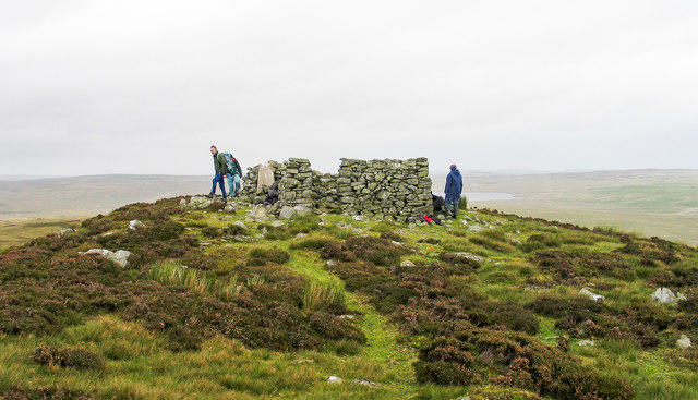 Photo could not load
SH9154 : Summit area of Mwdwl-eithin
Trevor Littlewood
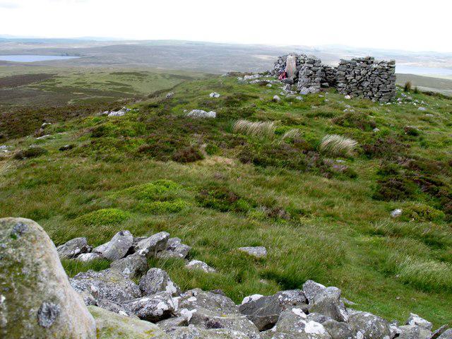 Photo could not load
SH9154 : Mwdwl-eithin
Rude Health
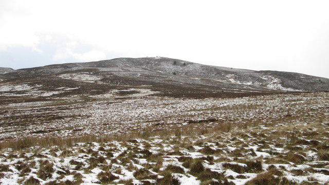 Photo could not load
SH9154 : Mwdwl-eithin from the Alwen Reservoir path
Joseph Jones
Hill facts and local notes
Classifications
Elevation
532m
1,745 ft
Prominence
262m
Coordinates
53.0727, -3.6178
SH917540
OS Map
116
Explorer: OL18E 264S
At the Summit
The summit is marked by a modest cairn and offers a fine view towards the rolling hills of Snowdonia and the glittering lakes below. It’s a great spot for a picnic, or just to catch your breath.
Terrain & Geology
Mwdwl-eithin is primarily composed of basalt and rhyolite, showcasing the volcanic activity that shaped much of this stunning region in the past. The rocky outcrops around the summit provide fascinating formations that can stir the imagination.
Views & Scenery
From the summit, you can catch a glimpse of the majestic peaks of Snowdonia including the famous Tryfan and Snowdon itself, along with the serene waters of Llyn Celyn.
History & Heritage
Name Origin
The name Mwdwl-eithin roughly translates to 'hill of the hay', which reflects the agricultural history of the region.
Historical Significance
The area is steeped in local legend and folklore, often referred to in traditional Welsh tales.
Getting There & Facilities
Parking
There is a small parking area near the A5, approximately 2 km from the trailhead, suitable for a few cars.
Public Transport
Buses available from nearby towns like Betws-y-Coed, but be prepared to walk a bit toward the trailhead.
Nearby Facilities
There are cafes and restaurants in Betws-y-Coed, where you can grab a bite before or after your hike. Public toilets can also be found in the village.
Safety Information
Known Hazards
- Beware of boggy areas, particularly after heavy rains. Also, ensure you stay on marked paths, as some areas can be quite steep and uneven.
General Safety Tips
- Check weather conditions before setting out
- Carry appropriate clothing and equipment
- Let someone know your planned route
- Take a map, compass, and GPS device
- Carry emergency supplies: food, water, first aid kit, torch
Hills
Some common questions about the hills answered
Are there group walks up Mwdwl-eithin?
Many walkers use Walkmates to join or organise walks with others. You can check for group walks around Mwdwl-eithin through the maps
Are there other walkers around Mwdwl-eithin?
Activity varies by location and time, but Walkmates lets you see whether others have shared walks or shown interest in this area. Find other people through the walking friends search walking friends for Mwdwl-eithin search or of course create your own walk for Mwdwl-eithin
Can I organise a walk to Mwdwl-eithin?
Yes. If there aren’t any walks listed already, you can create a walk and make it available for others to join.
If you're signed up to Walkmates, you can create a walk to Mwdwl-eithin.
How do I find a walk up this hill?
There are often multiple ways to walk this hill, depending on experience and route preference. Walkmates helps you explore walks and routes that others have shared.
Can I suggest a new route up Mwdwl-eithin?
Yes. You can suggest or create routes to share with others. Walkmates focuses on the social side of walking, so routes are used to help people organise walks and explore areas together, rather than as detailed navigation tools or route libraries.
Other uses really appreciate knowledgeable walkers sharing their routes. Share your favourite route to Mwdwl-eithin here
The is an error or something incorrect about this hill. How do I let you know?
We always strive to keep the information on Walkmates as accurate as possible. If you find an error, please let us know through the contact form and we'll aim to correct it as quickly as possible
Community Discussion
Comments
Location
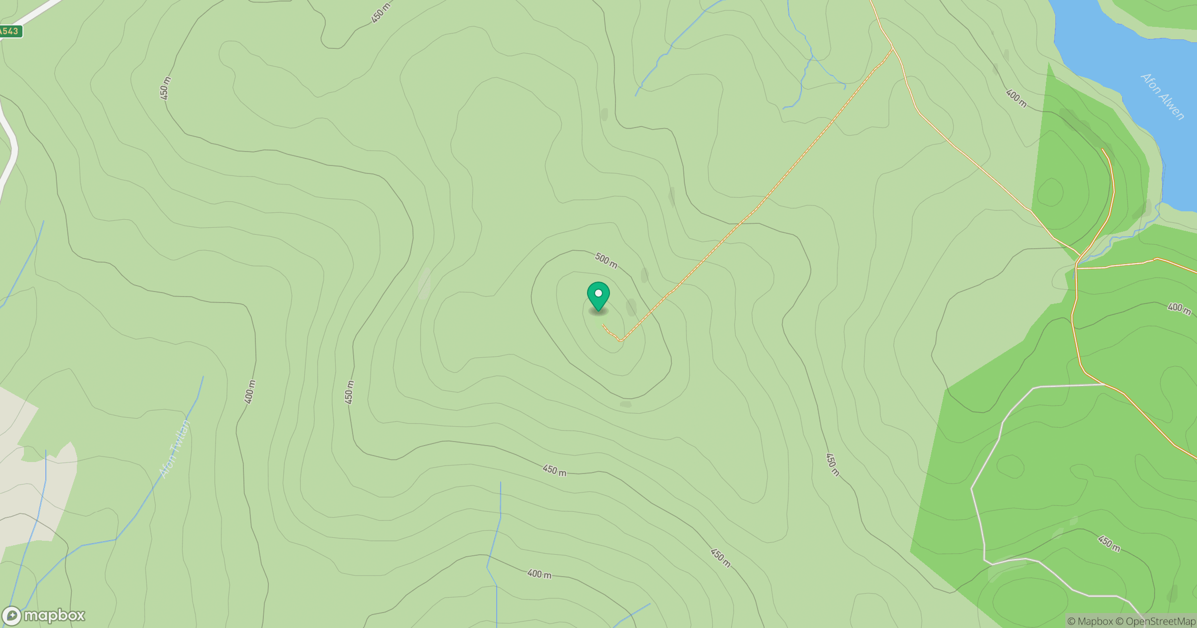
Grid reference: SH917540
View on OpenStreetMapOpens a map in a new tab, centred on the hill.
No comments yet. Be the first.