

Moneylaws Hill
Good walks are even better shared.
Overview
Moneylaws Hill
Overview
Nestled in the heart of Northumberland National Park, Moneylaws Hill offers a delightful escape for nature lovers and hiking enthusiasts alike. At an elevation of 208 meters, it may not be the highest peak in the region, but it certainly delivers on stunning views and a rustic charm.
Geology
Moneylaws Hill's geology tells a tale as old as time, or at least as old as the Carboniferous period (around 300 million years ago). With predominantly limestone outcrops, explorers might even spot some fascinating karst formations if they keep their eyes peeled! Perfect for any rock enthusiasts eager to delve into ancient Earth's past.
Routes
The Moneylaws Hill Circular Walk starting from Rothbury is the most popular route. Spanning about 8.5 km and taking approximately 3 hours to complete, this moderate trek traverses lush woodlands, open pastures, and grassy slopes leading up to the summit. Don’t forget to stop and smell the wildflowers along the way!
Summit Features
At the peak, a trig point stands proudly, marking the highest point of the hill. Alongside it, a quaint little cairn invites hikers to leave a stone in memory of their adventure. Why not take a well-deserved break and enjoy a sandwich with a view?
Terrain
Expect a mix of terrains that include grassy slopes and rocky outcrops. Sturdy footwear is encouraged, as the path can be a tad uneven in places. What's a good hike without a little challenge?
Views
The summit offers breathtaking vistas, showcasing the splendid Cheviot Hills and the verdant Coquet Valley below. Spring and early autumn are prime times to visit, when the natural palette is at its most vibrant and inviting.
Hazards
While the paths may seem tranquil, be on the lookout for sheep that often roam the hills. They're likely to be more surprised by you than you are by them! Also, heed the weather forecast as conditions can change in the blink of an eye—pack a waterproof jacket just in case.
Nearby Summits
Simonside Hills is a noteworthy nearby peak, rising to 422 meters, and offers a contrasting adventure for those keen to explore further.
Access
Rothbury is the nearest town, where parking is conveniently available at the Coquetdale Visitor Centre. Should you prefer public transport, regular bus services run to Rothbury, making it accessible for all.
Facilities
The friendly village of Rothbury is equipped with delightful cafes and public toilets, ensuring you're well-equipped for your outdoor escapade.
History
The name 'Moneylaws' captures the essence of the local landscape—'many hills' which so aptly describes the surroundings. Rich in history, the region is decorated with ancient tales and folklore, making your hike not just a physical journey but a cultural one as well.
In summary, Moneylaws Hill is a gem waiting to be explored. So lace up your boots, grab your walking stick, and set forth on an adventure that promises invigorating exercise and stunning sights!
Happy hiking!
Explore routes near Moneylaws Hill
Public walks starting within 80 km of this hill. Nearby does not mean a route reaches the summit; check its map and access before setting out.
Coldstream Lees Haugh Riverside Circuit
View route
Coldstream Hirsel and Dunglass Wood
View route
Hethpool Linn and Yeavering Bell from Kirknewton
View route
Yeavering Bell and Easter Tor Circular
View route
Route planning notes
These notes describe possible approaches, not verified navigable routes or permission to cross land. Check current paths, local access rules and conditions before setting out.
Moneylaws Hill Circular Walk
A scenic circular route starting from the village of Rothbury, passing through lush woodlands and open fields before ascending the hill.
Make a day of it, together
Find someone to share the walk with, or organise a day out along a route you like.
Photo Gallery
View all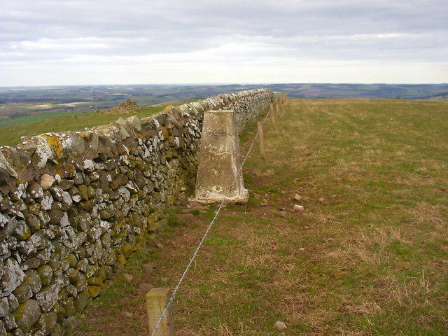 Photo could not load
NT8734 : Monylaws trig
Iain Macaulay
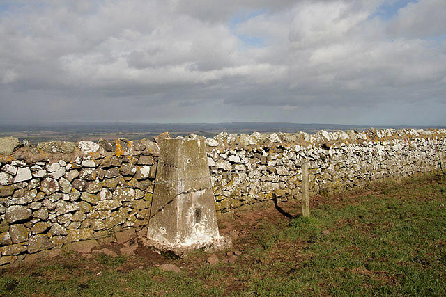 Photo could not load
NT8734 : The triangulation pillar on Moneylaws Hill
Walter Baxter
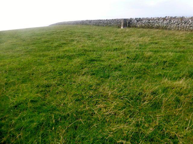 Photo could not load
NT8734 : Moneylaws Hill
Rude Health
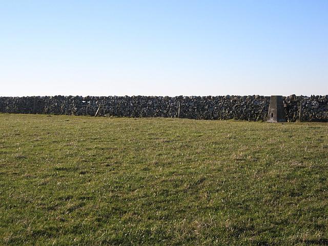 Photo could not load
NT8734 : Summit, Moneylaws Hill
Richard Webb
Hill facts and local notes
Classifications
Elevation
246m
808 ft
Prominence
140m
Coordinates
55.6060, -2.2038
NT872347
OS Map
74
Explorer: 339E
At the Summit
The summit boasts a well-maintained trig point, along with a small cairn. It makes for a perfect picnic spot if you fancy a bite with a view.
Terrain & Geology
The hill is primarily composed of carboniferous limestone, with interesting karst features in the area. The geological formations here date back over 300 million years, providing a rich tapestry of natural history.
Views & Scenery
From the summit, one can enjoy panoramic views of the Cheviot Hills, the Coquet Valley, and the expansive Northumberland countryside.
History & Heritage
Name Origin
The name 'Moneylaws' is thought to derive from the Old English 'monig' meaning 'many' and 'hlaw' meaning 'hill', referring to the many small hills in the area.
Historical Significance
The area is steeped in history, with evidence of ancient settlements and rich folklore surrounding the landscape.
Getting There & Facilities
Check current local access restrictions, parking rules and transport timetables before travelling. These notes do not confirm public access to the summit.
Parking
Parking is available at the village of Rothbury, with spaces at the Coquetdale Visitor Centre.
Public Transport
Regular bus services run to Rothbury from Newcastle and Alnwick.
Nearby Facilities
Rothbury offers various amenities including cafes and public toilets, ensuring you're well-fueled for the hike ahead.
Safety Information
Known Hazards
- Watch out for sheep on the paths, and be mindful of the weather as it can change rapidly in the hills.
General Safety Tips
- Check weather conditions before setting out
- Carry appropriate clothing and equipment
- Let someone know your planned route
- Take a map, compass, and GPS device
- Carry emergency supplies: food, water, first aid kit, torch
Hills
Some common questions about the hills answered
Are there group walks up Moneylaws Hill?
Many walkers use Walkmates to join or organise walks with others. You can check for group walks around Moneylaws Hill through the maps
Are there other walkers around Moneylaws Hill?
Activity varies by location and time, but Walkmates lets you see whether others have shared walks or shown interest in this area. Find other people through the walking friends search walking friends for Moneylaws Hill search or of course create your own walk for Moneylaws Hill
Can I organise a walk to Moneylaws Hill?
Yes. If there aren’t any walks listed already, you can create a walk and make it available for others to join.
If you're signed up to Walkmates, you can create a walk to Moneylaws Hill.
How do I find a walk up this hill?
There are often multiple ways to walk this hill, depending on experience and route preference. Walkmates helps you explore walks and routes that others have shared.
Can I suggest a new route up Moneylaws Hill?
Yes. You can suggest or create routes to share with others. Walkmates focuses on the social side of walking, so routes are used to help people organise walks and explore areas together, rather than as detailed navigation tools or route libraries.
Other uses really appreciate knowledgeable walkers sharing their routes. Share your favourite route to Moneylaws Hill here
The is an error or something incorrect about this hill. How do I let you know?
We always strive to keep the information on Walkmates as accurate as possible. If you find an error, please let us know through the contact form and we'll aim to correct it as quickly as possible
Community Discussion
Comments
Location
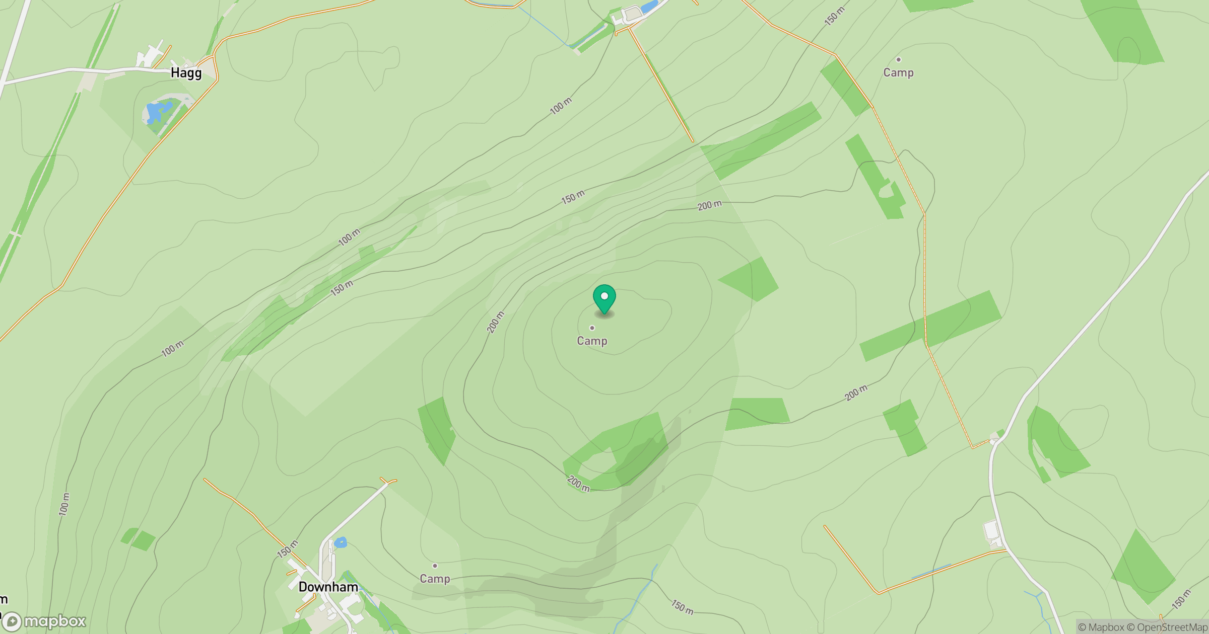
Grid reference: NT872347
View on OpenStreetMapOpens a map in a new tab, centred on the hill.
Hills within 30 km
Straight-line distance, not a walking route or confirmation of access.
No comments yet. Be the first.