
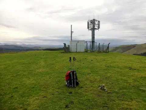
Moel Bylchau
Good walks are even better shared.
Overview
Moel Bylchau
Moel Bylchau stands proudly at 600 meters, a modest yet charming Marilyn nestled in the heart of North Wales. Known for its sweeping views and varied terrain, this hill offers a perfect escape for hikers looking to stretch their legs without the strenuous effort of a full-on mountain climb.
Geology
The foundation of Moel Bylchau is laid with Old Red Sandstone, a testimony to ancient river systems that flourished over 400 million years ago. Its layers tell a story of geological history, and the reddish hues add character to the landscape. If you happen to trip over a rock while admiring the scenery, just remember, geology doesn't take a break!
Routes
The most popular trek is the Moel Bylchau Circular Walk, clocking in at 7.5 km. This moderate route beckons hikers with its picturesque views and gentle ups and downs, making it ideal for those who wish to savour the surroundings at a leisurely pace. It is recommended to set aside approximately 2.5 hours for this jaunt—perfect for a quiet Sunday stroll.
Summit Features
Upon reaching the summit, you'll be greeted by a mixture of a grand cairn and a rustic stone shelter, ideal for those wishing to slap their packs down and catch their breath.
Terrain Type
The terrain surrounding Moel Bylchau is a medley of grassy slopes and rocky outcrops, with a few boggy patches thrown in for excitement. A little bit of care will reward you with a delightful and safe hike.
Views
From the summit, you can feast your eyes on the Clwydian Range to the east and majestic Snowdonia to the west. And on exceptionally clear days, the glittering expanse of the Irish Sea can be spotted glimmering in the distance. Late spring and early autumn are optimal times for hiking here, offering stunning views and a palette of rich colours across the landscape.
Hazards
Keep your wits about you! Sudden weather changes can sneak up faster than a cat on a mouse, so be prepared for anything. Also, beware of those boggy patches—stepping in one might leave you with more than muddy boots.
Nearby Summits
For those looking to extend their adventures, nearby Moel Famu and Moel Dywyll await, providing further opportunities to explore the spectacular Welsh hills.
Access
Accessing Moel Bylchau is a doddle, with a lay-by conveniently located off the A525. Free parking means you can keep your pennies for that well-deserved café visit afterward in Hendre.
Facilities
After a good day's hike, head to the local café for a warm drink and a sweet treat. Trust me, you deserve it!
History
The name Moel Bylchau—Hill of the Corners—speaks to the region's topography and local charm. Its significance is well recognized among walkers and nature enthusiasts, and it's an integral part of the local landscape.
Whether you're a seasoned hiker or just fancy an afternoon ramble, Moel Bylchau provides an excellent opportunity to enjoy the beauty of North Wales without breaking too much of a sweat. Just remember, the hills are calling, and you must go!
Explore routes near Moel Bylchau
Public walks starting within 80 km of this hill. Nearby does not mean a route reaches the summit; check its map and access before setting out.
Usk Reservoir: Glasfynydd Forest and Dam Circuit
View route
Dolaucothi Estate: Cothi Valley and Red Waymarked Circuit
View route
World Curlew Day Walk and Talk at Mynydd Illtud
View route
Elan Valley: Reservoir Trail to Pen y Garreg Dam
View route
Route planning notes
These notes describe possible approaches, not verified navigable routes or permission to cross land. Check current paths, local access rules and conditions before setting out.
Moel Bylchau Circular Walk
This circular route offers hikers a delightful loop from the nearby village, taking in stunning views and a bit of variety in terrain.
Make a day of it, together
Find someone to share the walk with, or organise a day out along a route you like.
Photo Gallery
View all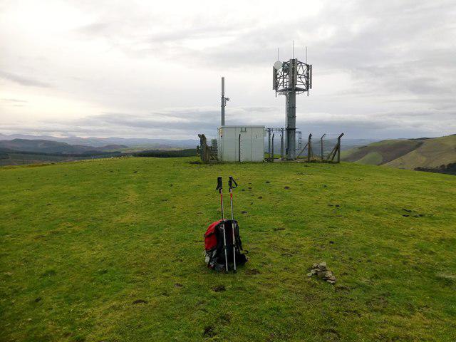 Photo could not load
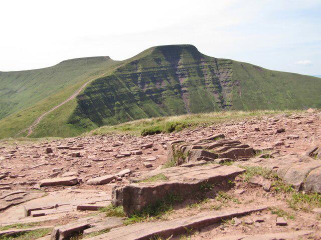
SN8443 : Moel Bylchau
Rude Health
Hill facts and local notes
Classifications
Elevation
396m
1,299 ft
Prominence
113m
Coordinates
52.0790, -3.6834
SN847436
OS Map
147 160
Explorer: 187S
At the Summit
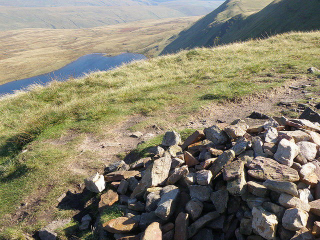
The summit is marked by a prominent cairn and offers a small stone shelter for those wishing to take a break and enjoy the surroundings.
Terrain & Geology
Moel Bylchau is primarily composed of Old Red Sandstone, characterized by its reddish hue and sedimentary layers, shaped by ancient river systems over 400 million years ago.
Views & Scenery
From the summit, one can see the Clwydian Range to the east, Snowdonia National Park to the west, and on a clear day, the shimmering Irish Sea to the north.
History & Heritage
Name Origin
Moel Bylchau translates to 'Hill of the Corners' in Welsh, possibly referring to the landscape's shape or the surrounding features.
Historical Significance
The mountain is notable in local folklore and is a popular destination for walkers and nature enthusiasts.
Getting There & Facilities
Check current local access restrictions, parking rules and transport timetables before travelling. These notes do not confirm public access to the summit.
Parking
There is a small layby at the start of the trail, located off the A525 near the village of Hendre. Parking is free but can fill up on busy weekends.
Public Transport
Buses run regularly from Ruthin to the nearby villages, but for ultimate convenience, a car is recommended.
Nearby Facilities
While there are no facilities directly on the mountain, the village of Hendre offers a quaint café serving hot drinks and refreshments.
Safety Information
Known Hazards
- Beware of sudden weather changes, as conditions can shift rapidly in the mountains. Also, watch your step in boggy areas, or you might just find yourself enjoying an unexpected mud bath.
General Safety Tips
- Check weather conditions before setting out
- Carry appropriate clothing and equipment
- Let someone know your planned route
- Take a map, compass, and GPS device
- Carry emergency supplies: food, water, first aid kit, torch
Hills
Some common questions about the hills answered
Are there group walks up Moel Bylchau?
Many walkers use Walkmates to join or organise walks with others. You can check for group walks around Moel Bylchau through the maps
Are there other walkers around Moel Bylchau?
Activity varies by location and time, but Walkmates lets you see whether others have shared walks or shown interest in this area. Find other people through the walking friends search walking friends for Moel Bylchau search or of course create your own walk for Moel Bylchau
Can I organise a walk to Moel Bylchau?
Yes. If there aren’t any walks listed already, you can create a walk and make it available for others to join.
If you're signed up to Walkmates, you can create a walk to Moel Bylchau.
How do I find a walk up this hill?
There are often multiple ways to walk this hill, depending on experience and route preference. Walkmates helps you explore walks and routes that others have shared.
Can I suggest a new route up Moel Bylchau?
Yes. You can suggest or create routes to share with others. Walkmates focuses on the social side of walking, so routes are used to help people organise walks and explore areas together, rather than as detailed navigation tools or route libraries.
Other uses really appreciate knowledgeable walkers sharing their routes. Share your favourite route to Moel Bylchau here
The is an error or something incorrect about this hill. How do I let you know?
We always strive to keep the information on Walkmates as accurate as possible. If you find an error, please let us know through the contact form and we'll aim to correct it as quickly as possible
Community Discussion
Comments
Location
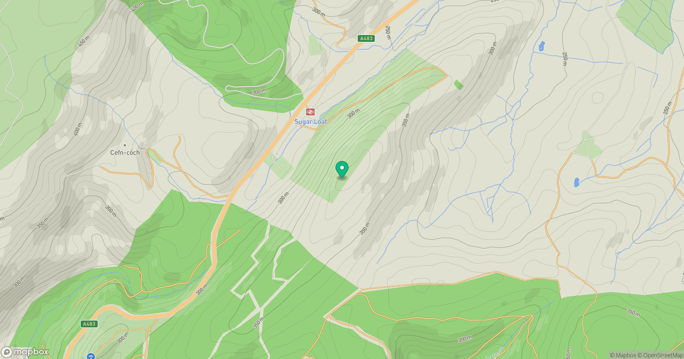
Grid reference: SN847436
View on OpenStreetMapOpens a map in a new tab, centred on the hill.
Hills within 30 km
Straight-line distance, not a walking route or confirmation of access.
No comments yet. Be the first.