

Dolaucothi Estate: Cothi Valley and Red Waymarked Circuit
- Distance
- 3.7 mi
- Est. time
- 3h
- Difficulty
- Hard
About this walk
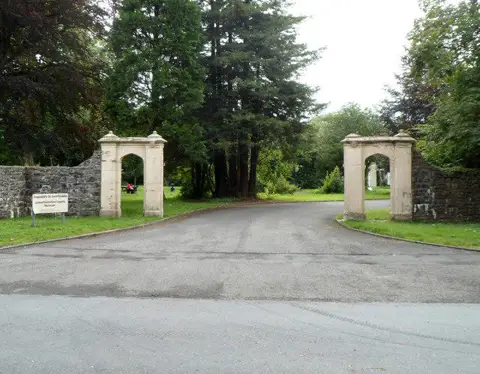
Start at the entrance to the free Dolaucothi Woodland car park, opposite the gold-mine gates near Pumsaint. This car park is open 24 hours all year; the separate mine car park has restricted opening.
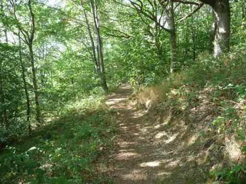
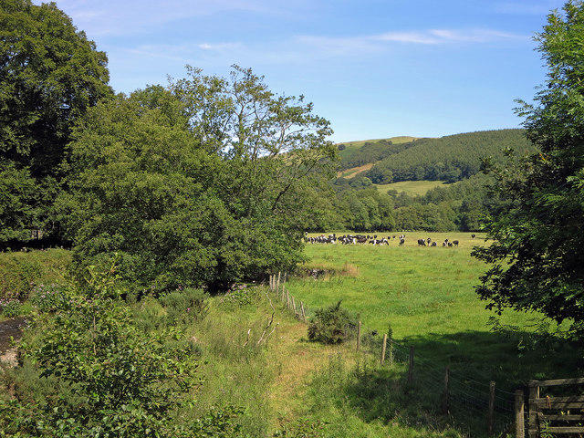
Follow the red Estate Trail: leave through the far end of the woodland parking, take the path above the River Cothi and cross the estate bridge. Pass the old walled garden and mansion grounds, then use the boardwalk and steps to reach the farm track. The waymarked climb continues through woodland and field gates to the estate trig point, 282m above sea level, overlooking the Cothi Valley.
Follow the fence and forest track before the very steep descent to the river. Return along the former timber railway, then the estate track to Pumsaint. Use the pavement over the road bridge and turn onto the gold-mines lane. Its final 350m has no pavement: watch for vehicles.
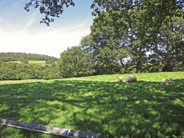
Allow about three hours. Expect steep slopes, steps, uneven tracks and winter mud; stout footwear is needed. Keep dogs on leads around livestock. Mine-yard toilets and refreshments depend on opening times; underground tours are separate.
Route and access information: National Trust Dolaucothi Estate Trail and estate visitor information, checked October 2026. The plotted circuit measures about 6km; the Trust quotes 7.2km for its trail.
Walk details
- County
- Dyfed
- Walk type
- Circular
- Category
- Countryside
- Distance
- 3.7 mi (6.0 km)
- Est. time
- 3h
- Explorer
- Yes, off the beaten track
Route map
Use the route details to plan your walk
If the map image does not load, the route description and starting-point details are still on this page.
The interactive map will load when you reach this section.
Where to start
Directions to startWalking on your own?
Start when you're ready and add the walk to your history. No group date needed.
Photos
View all 48 →This walk is waiting for a date
Not ready to pick a date? Follow it and you'll hear when somebody else does.
No commitment. You can follow it now and pick a date later.
More walks nearby
Other routes starting close to this one
Aircraft Crash Site - Wellington Bomber and Vampire Jet (Black mountains)
Pen y Fan via Corn Du from Storey Arms
Brecon Basin to Brynich Aqueduct: Canal Towpath Walk
Explore more: Walks in Dyfed
Joining a walk
A few things to know before you make plans.
Can I join if no one else is going?
You can be the first to join a scheduled walk. A suggested date is an idea for a group walk; choose Set this date up to organise it. Check the participant list and meeting details before setting off.
What if there is no date yet?
Choose Put a date on this walk to organise a group walk. Not ready to choose a day? Follow the route for scheduling updates, or save it for later.
What does the organiser do?
The organiser sets the date and meeting details and helps the group get started. They are a fellow walker and may be new to the route too.
Each walker is responsible for their own safety and navigation. Check the route, weather, equipment and whether the walk suits your experience and fitness.
Can I walk this route on my own?
Yes. Choose Walk this route on your own to open the start screen, then start when you are ready. Finish the walk to add it to your walking history. You do not need a group date.
What happens after I join?
Use the walk page to check meeting details, updates and who is going. Check in from 24 hours before the start to let the group know you still plan to come.
How do I confirm plans with the group?
Check the participant list and check-ins, and message the organiser or other walkers to confirm where to meet and who is coming. This is especially useful when the group is small.