

Meigle Hill
Good walks are even better shared.
Overview
Meigle Hill
Nestled amidst the scenic beauty of the Scottish Highlands, Meigle Hill stands as a Marilyn at an elevation of 371 meters. For those who might wonder, a Marilyn is like calling your hill ‘Sir’ – it’s a mark of distinguished stature in the UK’s hills and mountains!
Geology
The hill's geological makeup is dominated by ancient volcanic rock, showcasing a brilliant display of nature’s artistry. Expect rocky outcrops and basalt formations that whisper tales of lava flows long extinguished and weathering that has shaped its current form. It’s like nature’s own sculptor spent an afternoon playfully chiselling away.
The Routes
The most popular route is the Meigle Hill Circular Route – a delightful 5.5 km trek starting right from the quaint village of Meigle. This moderately challenging path is perfect for those looking to indulge in a day out in the fresh air. It offers a peaceful walk, culminating in breathtaking views of the surrounding landscape.
Summit Features
Upon reaching the summit, you'll be greeted by a sturdy stone cairn and a trig point that's been keeping watch for years, marking the heights of this unassuming giant with a sense of pride.
Terrain Type
Expect a delightful mix of grassy slopes and rocky terrain. If you're a fan of nature, you’ll love the patches of heather that pop up, particularly vibrant in late summer. Don't forget to look out for the local sheep, who might just take a leisurely stroll alongside you!
Views
The views from Meigle Hill are nothing short of stunning, featuring the graceful arcs of the Strathmore valley and the rugged outlines of the Grampian Mountains in the distance. Just remember, the best times for photographing these vistas are in spring and autumn when nature really knows how to show off.
Hazards
Hiking up Meigle Hill is generally safe, but as always, be wary of slippery paths post-rain. And keep a keen eye out for sheep, as they might make an unexpected cameo on your trek!
Nearby Summits
If the idea of one hill isn’t quite enough, nearby summits like Laurencekirk Hill and Buchanty Hill offer additional exploratory opportunities, perfect for the seasoned walker or the unwittingly lost!
Access
Accessing Meigle Hill is a breeze – there's a small car park available in the village, and those using public transport can easily hop on a bus that brings you right to the village door.
History
The name 'Meigle' suggests a rich cultural tapestry, coming from Pictish origins meaning 'hill of the meadows'. Plus, there are ancient Pictish stones nearby, adding a historical touch to your hike.
So lace up your boots, pack your walking stick, and set forth on an adventure to Meigle Hill – it’s a proper Scottish experience that’s well worth the legwork!
Happy hiking!
Explore routes near Meigle Hill
Public walks starting within 80 km of this hill. Nearby does not mean a route reaches the summit; check its map and access before setting out.
Selkirk Ettrick Water North Riverside Circuit
View route
Selkirk Haining Loch and Woodland Circuit
View route
Lindean Loch Nature Reserve Circuit
View route
Melrose to Newstead: River Tweed and Priorswalk
View route
Route planning notes
These notes describe possible approaches, not verified navigable routes or permission to cross land. Check current paths, local access rules and conditions before setting out.
Meigle Hill Circular Route
A delightful circular route starting from the village of Meigle, offering a gradual ascent that rewards hikers with panoramic views.
Make a day of it, together
Find someone to share the walk with, or organise a day out along a route you like.
Photo Gallery
View all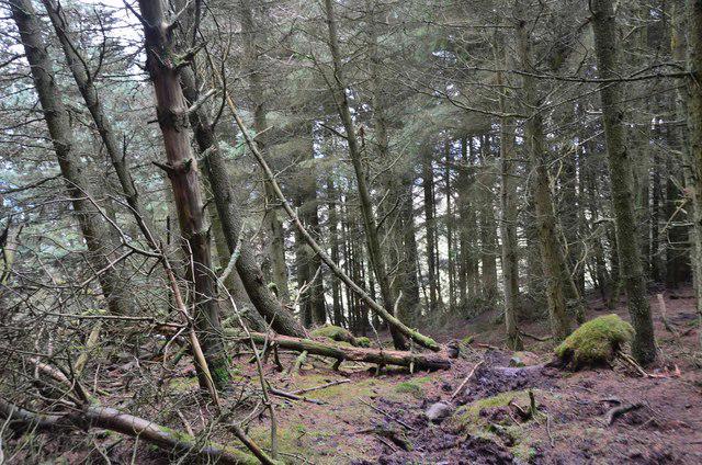 Photo could not load
NT4635 : Meigle Hill plantation
Jim Barton
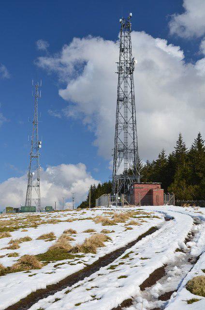 Photo could not load
NT4635 : Masts on Meigle Hill
Jim Barton
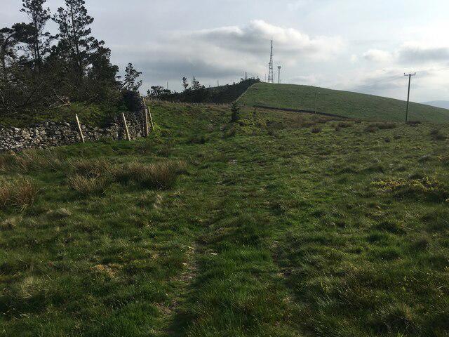 Photo could not load
NT4636 : Path on Meigle Hill
Steven Brown
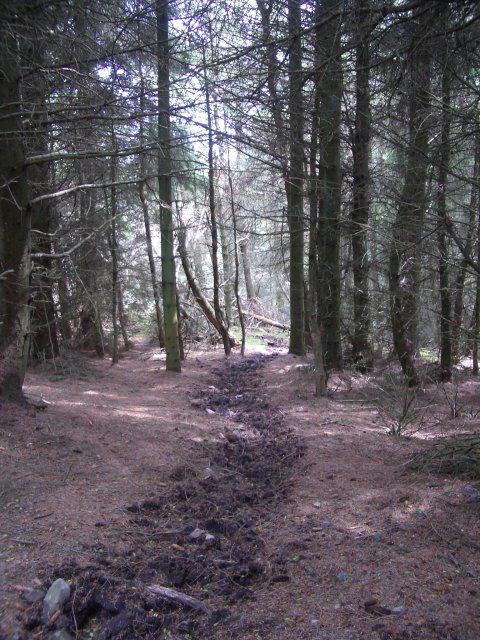 Photo could not load
NT4636 : Forest, Meigle Hill
Callum Black
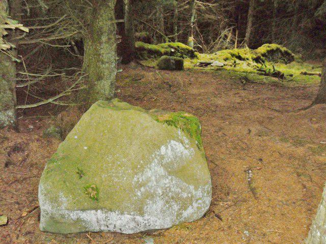 Photo could not load
NT4636 : Wallace's Putting Stone, Meigle Hill
Iain Lees
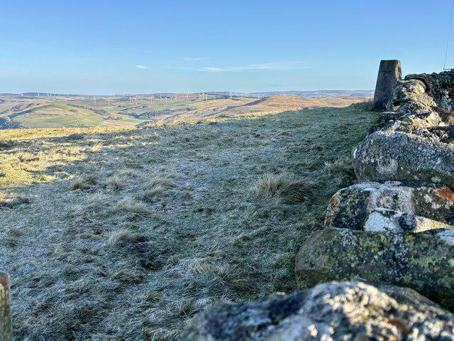 Photo could not load
NT4635 : Meigle Hill Summit 423m
Iain Lees
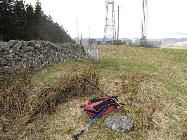 Photo could not load
NT4636 : Meigle Hill
Rude Health
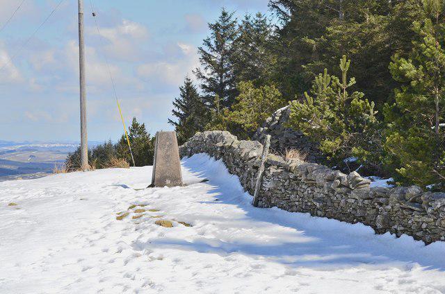 Photo could not load
NT4636 : Trig pillar, Meigle Hill summit
Jim Barton
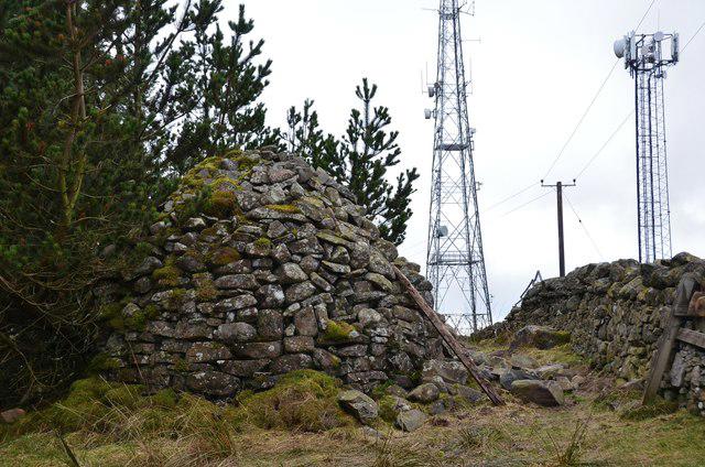 Photo could not load
NT4636 : Ancient and modern, Meigle Hill summit
Jim Barton
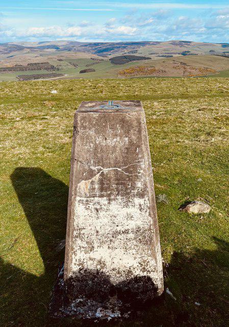
NT4636 : The Triangulation Pillar on Meigle Hill 423m
Iain Lees
Hill facts and local notes
Classifications
Elevation
423m
1,388 ft
Prominence
256m
Coordinates
55.6147, -2.8490
NT466360
OS Map
73
Explorer: 338
At the Summit
The summit features a well-constructed stone cairn that serves as an excellent vantage point, and an old trig point, giving a nod to the hill's surveying history.
Terrain & Geology
Meigle Hill is primarily composed of volcanic rock formations, with remnants indicative of an ancient volcanic landscape. The hill's strata reveal a history of geological activity, including weathered basalt columns.
Views & Scenery
From the summit, hikers can enjoy sweeping views of the Strathmore valley and the distant Grampian Mountains, perfect for that Instagram shot!
History & Heritage
Name Origin
The name 'Meigle' is believed to derive from the Pictish language, meaning 'hill of the meadows'. Quite fitting for a place with splendid views!
Historical Significance
Meigle has historical importance as a site of ancient Pictish stones, with carvings reflecting the artistry of early Scottish tribes.
Getting There & Facilities
Check current local access restrictions, parking rules and transport timetables before travelling. These notes do not confirm public access to the summit.
Parking
There is a small car park available at the start of the trail in Meigle, accommodating roughly 10 vehicles.
Public Transport
Regular bus services run from nearby cities like Perth, with stops at Meigle.
Nearby Facilities
While there are no facilities directly on the hill, Meigle has a lovely café for post-hike refreshments and toilets in the village.
Safety Information
Known Hazards
- Watch out for slippery paths after rainfall and the occasional sheep crossing – they have the right of way!
General Safety Tips
- Check weather conditions before setting out
- Carry appropriate clothing and equipment
- Let someone know your planned route
- Take a map, compass, and GPS device
- Carry emergency supplies: food, water, first aid kit, torch
Hills
Some common questions about the hills answered
Are there group walks up Meigle Hill?
Many walkers use Walkmates to join or organise walks with others. You can check for group walks around Meigle Hill through the maps
Are there other walkers around Meigle Hill?
Activity varies by location and time, but Walkmates lets you see whether others have shared walks or shown interest in this area. Find other people through the walking friends search walking friends for Meigle Hill search or of course create your own walk for Meigle Hill
Can I organise a walk to Meigle Hill?
Yes. If there aren’t any walks listed already, you can create a walk and make it available for others to join.
If you're signed up to Walkmates, you can create a walk to Meigle Hill.
How do I find a walk up this hill?
There are often multiple ways to walk this hill, depending on experience and route preference. Walkmates helps you explore walks and routes that others have shared.
Can I suggest a new route up Meigle Hill?
Yes. You can suggest or create routes to share with others. Walkmates focuses on the social side of walking, so routes are used to help people organise walks and explore areas together, rather than as detailed navigation tools or route libraries.
Other uses really appreciate knowledgeable walkers sharing their routes. Share your favourite route to Meigle Hill here
The is an error or something incorrect about this hill. How do I let you know?
We always strive to keep the information on Walkmates as accurate as possible. If you find an error, please let us know through the contact form and we'll aim to correct it as quickly as possible
Community Discussion
Comments
Location
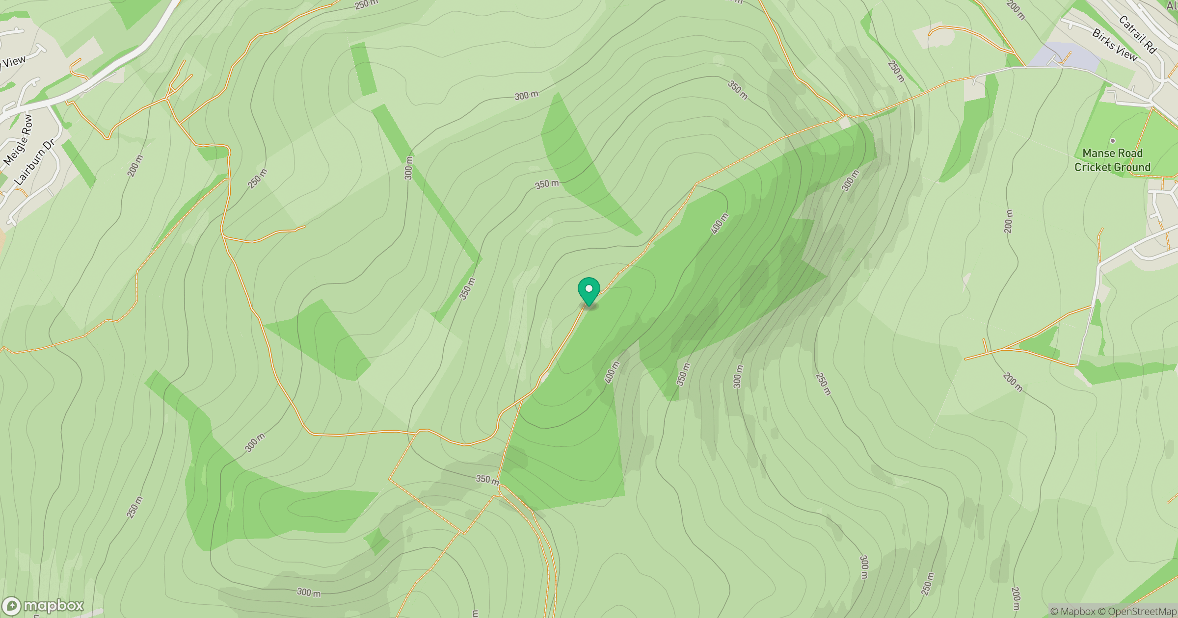
Grid reference: NT466360
View on OpenStreetMapOpens a map in a new tab, centred on the hill.
Hills within 30 km
Straight-line distance, not a walking route or confirmation of access.
No comments yet. Be the first.