
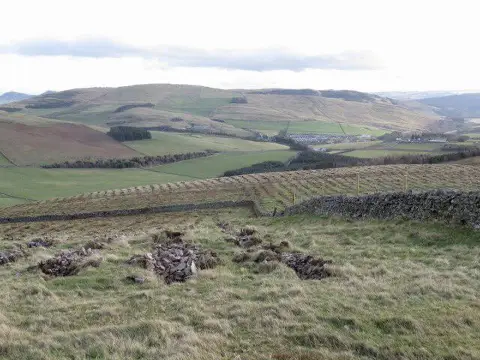
Knowes Hill
Good walks are even better shared.
Overview
Knowes Hill: A Hidden Gem in the Scottish Borders
Nestled in the picturesque region of the Scottish Borders, Knowes Hill stands at an elevation of 424 meters, making it a Marilyn—a hill of considerable prominence. This unassuming peak offers an enjoyable outing for walkers of various skill levels, boasting stunning vistas and lush landscapes.
Geology
Knowes Hill is constructed primarily of Old Red Sandstone, which not only defines its reddish appearance but also narrates the history of the earth through its sedimentary layers, a reminder of rivers that once flowed over this very land.
Routes
Two popular routes cater to different hiking preferences:
- The Circular Trail: A moderate 5.5 km loop that takes approximately 2.5 hours, beginning in Hawick. This route is perfect for families or those looking for a leisurely day in nature.
- The Direct Ascent: If you're seeking to stretch your legs and your limits, this 3 km path will have you huffing and puffing, taking about 1.5 hours to summit. It’s a straightforward climb with rewarding views at the top.
Summit Features
Stand on the summit and marvel at the well-constructed cairn and reliable trig point—vital for the modern hiker's Instagram posts! It’s a place of triumph, whether you’ve trekked from the village or made a beeline up the direct route.
Terrain Type
You'll encounter a mixture of grassy moors and rocky outcrops, with the terrain keeping your feet guessing and your camera clicking. Just remember to keep an eye on where you step; a rogue stone can make for an unexpected pratfall!
Views
The summit of Knowes Hill rewards climbers with panoramic views of the stunning Scottish Borders landscape. The highlights include the distant silhouettes of the Cheviot Hills. For the best sights, aim for the spring or autumn seasons when the weather plays nicely and the scenery is resplendent.
Hazards
While the hike is generally safe, the occasional slippery patches can lead to some unexpected tumbles. Stay on your toes—unless you're taking a photo!
Nearby Summits
Adventurers looking for additional nearby peaks will find Round Hill (446 m) and Tingwall Hill (380 m) perfectly positioned for a longer day out in the hills.
Access
Hawick serves as the gateway, with ample roadside parking available within a short distance of the starting point. Public transport options are also viable, with buses running from larger towns in the region.
Facilities
Post-hike, indulge in a warm local meal or a refreshing pint in one of Hawick's friendly cafes or pubs. Public toilets are conveniently located in the town, ensuring comfort after your outdoor adventure.
History
The name 'Knowes' aptly describes the small knolls that characterise this hill, steeped in local significance. For centuries, Knowes Hill has been a proud feature of the landscape, aiding farmers and locals alike in navigating their journeys.
In summary, Knowes Hill is more than just a hike; it's a charming adventure through history and nature that beckons hikers far and wide. So lace up those boots, grab your walking stick, and let’s make some memories!
Explore routes near Knowes Hill
Public walks starting within 80 km of this hill. Nearby does not mean a route reaches the summit; check its map and access before setting out.
Selkirk Ettrick Water North Riverside Circuit
View route
Selkirk Haining Loch and Woodland Circuit
View route
Lindean Loch Nature Reserve Circuit
View route
Melrose to Newstead: River Tweed and Priorswalk
View route
Route planning notes
These notes describe possible approaches, not verified navigable routes or permission to cross land. Check current paths, local access rules and conditions before setting out.
The Circular Trail
A delightful loop starting from the nearby village, this route takes you through lush pastures and up the gentle slopes of Knowes Hill.
The Direct Ascent
For those looking for a more direct challenge, this route climbs steeply from the south, promising a satisfying sense of achievement upon reaching the summit.
Make a day of it, together
Find someone to share the walk with, or organise a day out along a route you like.
Photo Gallery
View all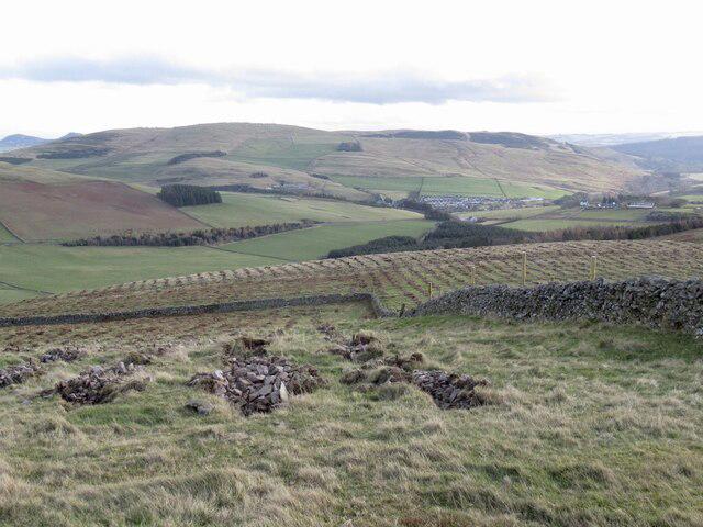 Photo could not load
NT4338 : Newly planted trees, Knowes Hill
Richard Webb
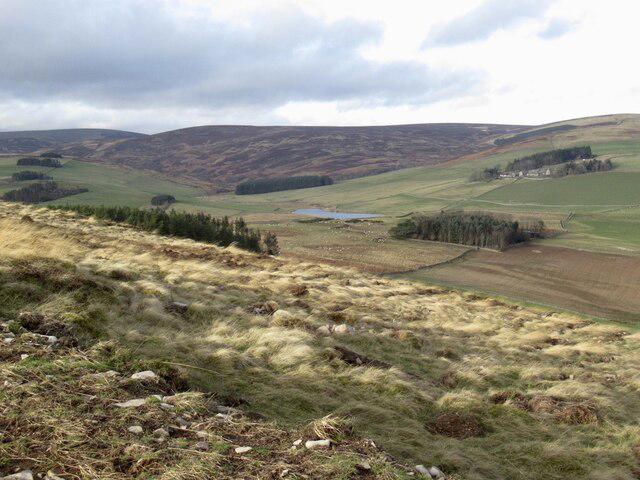 Photo could not load
NT4338 : Newly planted trees, Knowes Hill
Richard Webb
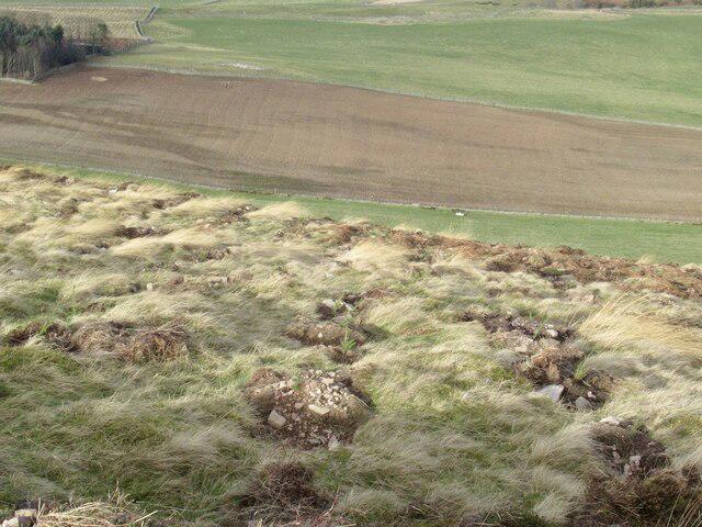 Photo could not load
NT4338 : Newly planted trees, Knowes Hill
Richard Webb
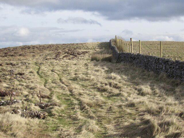 Photo could not load
NT4338 : Summit ridge, Knowe Hill
Richard Webb
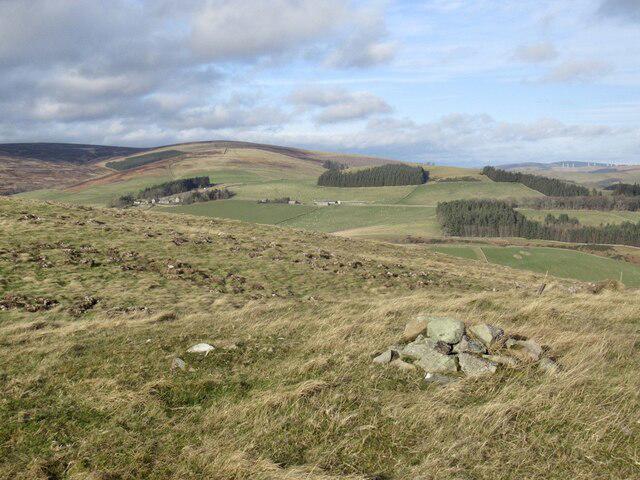 Photo could not load
NT4338 : Summit, Knowes Hill
Richard Webb
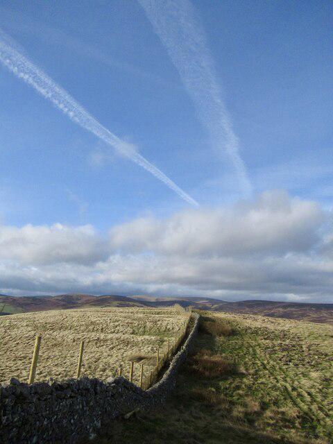 Photo could not load
NT4338 : Summit ridge, Knowes Hill
Richard Webb
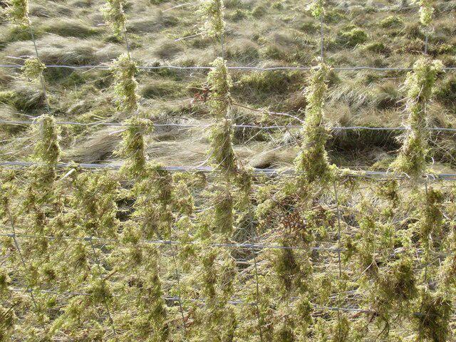 Photo could not load
NT4338 : Deer fence, Knowes Hill
Richard Webb
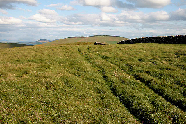 Photo could not load
NT4338 : A grass track on Knowes Hill
Walter Baxter
Hill facts and local notes
Classifications
Elevation
374m
1,227 ft
Prominence
101m
Coordinates
55.6351, -2.8953
NT437383
OS Map
73
Explorer: 338
At the Summit
At the summit, you'll find a well-built cairn and a trig point. It's the sort of place where you can confidently say you've peaked!
Terrain & Geology
Knowes Hill is predominantly composed of Old Red Sandstone, giving it a distinctive reddish hue. The terrain reveals sedimentary layers that tell a story of ancient river systems.
Views & Scenery
From the summit, you can catch spectacular views of the rolling Scottish Borders, including the distant outline of the Cheviot Hills.
History & Heritage
Name Origin
The name 'Knowes' derives from the Scots word referring to 'knolls' or small hills, reflecting the geography of the area.
Historical Significance
The hill has been a landmark for local farming communities for centuries and embodies the rich cultural tapestry of the Scottish Borders.
Getting There & Facilities
Check current local access restrictions, parking rules and transport timetables before travelling. These notes do not confirm public access to the summit.
Parking
There is ample roadside parking in the village of Hawick, around 2 km from the starting point.
Public Transport
Regular bus services run from larger towns such as Galashiels; check local timetables for the latest routes.
Nearby Facilities
Hawick offers several cafes and pubs where you can refuel after your hike, as well as public toilets.
Safety Information
Known Hazards
- Be mindful of slippery grass, especially after rain. A misstep might be more comedy than catastrophe, but it's best to avoid unnecessary pratfalls.
General Safety Tips
- Check weather conditions before setting out
- Carry appropriate clothing and equipment
- Let someone know your planned route
- Take a map, compass, and GPS device
- Carry emergency supplies: food, water, first aid kit, torch
Hills
Some common questions about the hills answered
Are there group walks up Knowes Hill?
Many walkers use Walkmates to join or organise walks with others. You can check for group walks around Knowes Hill through the maps
Are there other walkers around Knowes Hill?
Activity varies by location and time, but Walkmates lets you see whether others have shared walks or shown interest in this area. Find other people through the walking friends search walking friends for Knowes Hill search or of course create your own walk for Knowes Hill
Can I organise a walk to Knowes Hill?
Yes. If there aren’t any walks listed already, you can create a walk and make it available for others to join.
If you're signed up to Walkmates, you can create a walk to Knowes Hill.
How do I find a walk up this hill?
There are often multiple ways to walk this hill, depending on experience and route preference. Walkmates helps you explore walks and routes that others have shared.
Can I suggest a new route up Knowes Hill?
Yes. You can suggest or create routes to share with others. Walkmates focuses on the social side of walking, so routes are used to help people organise walks and explore areas together, rather than as detailed navigation tools or route libraries.
Other uses really appreciate knowledgeable walkers sharing their routes. Share your favourite route to Knowes Hill here
The is an error or something incorrect about this hill. How do I let you know?
We always strive to keep the information on Walkmates as accurate as possible. If you find an error, please let us know through the contact form and we'll aim to correct it as quickly as possible
Community Discussion
Comments
Location
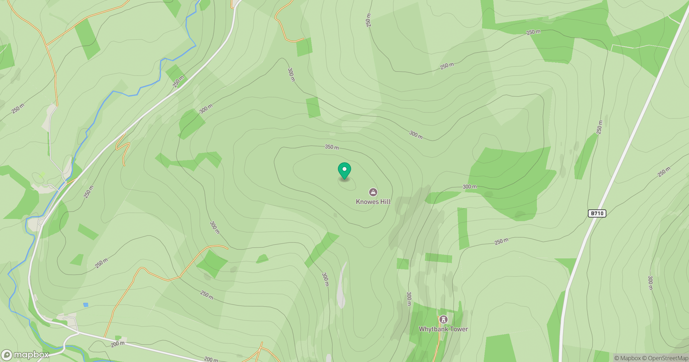
Grid reference: NT437383
View on OpenStreetMapOpens a map in a new tab, centred on the hill.
Hills within 30 km
Straight-line distance, not a walking route or confirmation of access.
No comments yet. Be the first.