

Meall nan Eun
Good walks are even better shared.
NN1944 : Looking east from Meall nan Eun
Russel Wills Photo source
Overview
Meall nan Eun: The Hill of the Birds
Meall nan Eun, towering at 708 meters, is a prominent Munro situated in the breathtaking Scottish Highlands. Known affectionately as the Hill of the Birds, this mountain offers not only stunning scenery but also a taste of the wild landscape that Scotland is famed for.
Geology
The mountain comprises durable schist and granite formations, shaped dramatically by glacial activity. These unique geological features contribute to the biodiverse ecosystem in the area, providing habitats for a variety of wildlife, including numerous bird species. So, keep your eyes peeled – you never know when you might catch a glimpse of a peregrine falcon!
Routes
Hikers can choose from a couple of popular routes to the summit. The North Face Route is for those looking for a bit of a challenge. Stretching approximately 9 km, this ascent typically takes about 4.5 hours, depending on your pace and how many photos you stop to take!
Alternatively, the South Ridge Route offers a slightly more laid-back experience. This 7.5 km trek takes about 3.5 hours and gives you some pretty impressive views along the way. Whichever route you choose, prepare for an adventure!
Summit Features
Upon reaching the summit, you'll be greeted by a rugged cairn marking the peak, which offers magnificent panoramic views of the surrounding Highlands. It's the perfect spot for that all-important summit selfie!
Terrain
Expect a mix of rocky outcrops and grassy slopes. Do watch your step, particularly on the descents where loose stones can be a bit of a trickster.
Views
The summit rewards you with sweeping views: the majestic Ben Nevis, the expansive Glen Nevis, and the sparkling waters of Loch Linnhe are all within sight. The best times for these vistas are during the clearer spring and autumn months.
Hazards
Hiking Meall nan Eun is not without its risks. Be prepared for rapid weather changes, especially in the higher reaches. Fog can be a real spoilsport. Additionally, loose rocks on the descent can add an element of surprise, so tread carefully.
Nearby Summits
If you're feeling adventurous and are eager to tackle nearby challenges, consider visiting Meall na Teanga or the famous Ben Nevis, Scotland's highest peak.
Access
Getting there is quite straightforward. The nearest parking is at the Glen Nevis Visitor Centre, which has ample space, though it fills up fast in peak season. If you're relying on public transport, you’ll find convenient bus services to the Glen Nevis area from Fort William.
Facilities
Make sure to stop by the Glen Nevis Visitor Centre for refreshments and toilet facilities before or after your hike. The nearby town of Fort William offers a wealth of amenities.
History
The name 'Meall nan Eun' reflects its rich avian inhabitants. Historically, this area has been significant for local clans who roamed its rugged beauty.
Remember to leave no trace, respect the wildlife, and most importantly, enjoy your adventure!
Happy hiking!
Explore routes near Meall nan Eun
Walks starting near this hill. Open a route to check its map, distance and full itinerary.
Ben Nevis via Mountain Path
View route
Banavie to Glen Loy Aqueduct: Neptune’s Staircase Canal Towpath
View route
Killin: Falls of Dochart, Finlarig and Moirlanich Longhouse
View route
Beinn Ime from Succoth
View route
Route planning notes
These notes describe possible approaches. Check a route's map and access information when planning your walk.
North Face Route
A popular route that starts from a nearby car park and ascends the north face, offering a challenging yet rewarding climb.
South Ridge Route
A gentler ascent, this route provides magnificent views throughout and is slightly less trafficked, perfect for those who prefer a quieter hike.
Make a day of it, together
Find someone to share the walk with, or organise a day out along a route you like.
Photo Gallery
View all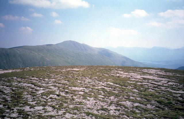 Photo could not load
NN1944 : Looking east from Meall nan Eun
Russel Wills
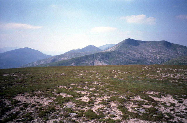 Photo could not load
NN1944 : Summit of Meall nan Eun
Russel Wills
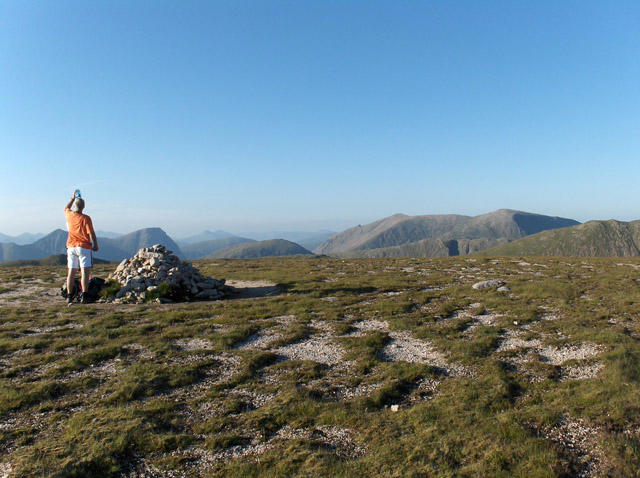 Photo could not load
NN1944 : Meall nan Eun
Andrew Smith
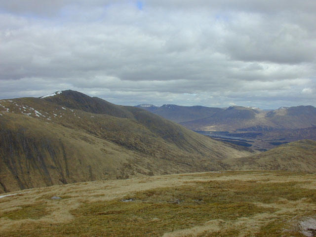 Photo could not load
NN1944 : View east from Meall nan Eun
Nigel Brown
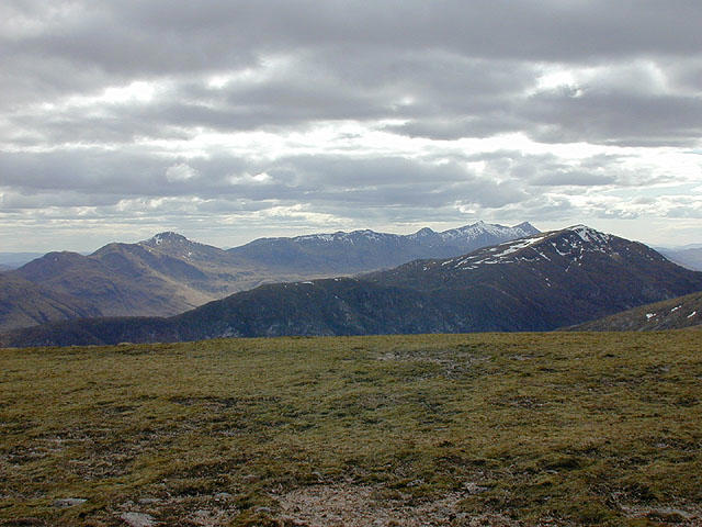 Photo could not load
NN1944 : View southwest from Meall nan Eun
Nigel Brown
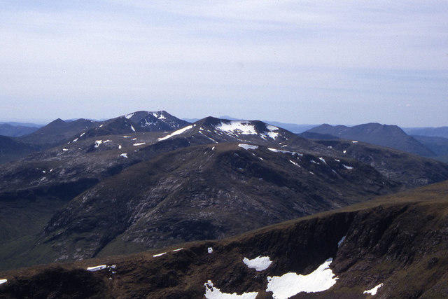 Photo could not load
NN1944 : Meall nan Eun from western slope of Stob Ghabhar
Colin Park
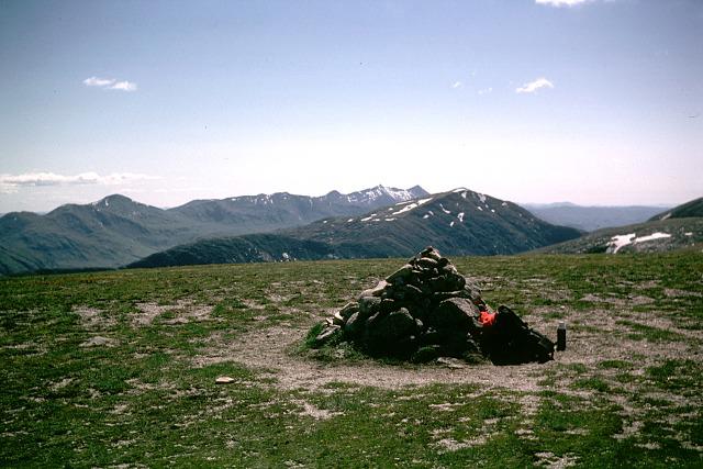 Photo could not load
NN1944 : Meall nan Eun
Andy Waddington
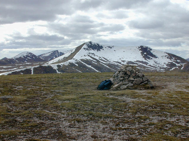 Photo could not load
NN1944 : The summit of Meall nan Eun
Nigel Brown
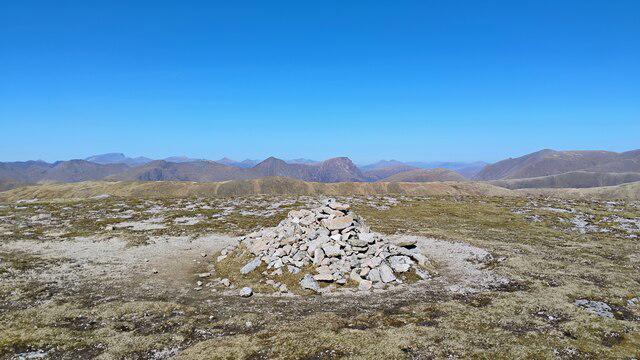 Photo could not load
NN1944 : Summit of Meall nan Eun
Iain Russell
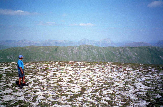
NN1944 : Summit plateau of Meall nan Eun
Russel Wills
Hill facts and local notes
Classifications
Elevation
928m
3,045 ft
Prominence
174m
Coordinates
56.5612, -4.9429
NN192449
OS Map
50
Explorer: 377E
At the Summit
The summit features a rocky cairn that marks the high point, with stunning panoramic views of the surrounding landscape and neighbouring peaks.
Terrain & Geology
The mountain is primarily composed of schist and granite, with some notable glacial features carved into its slopes. The diverse geology contributes to the rich biodiversity found in the surrounding area.
Views & Scenery
From the summit, hikers can enjoy views of the Ben Nevis range, the impressive Glen Nevis, and the shimmering waters of Loch Linnhe.
History & Heritage
Name Origin
The name 'Meall nan Eun' translates to 'Hill of the Birds', reflecting the rich avian life found in the area.
Historical Significance
Historically, the area has been significant for its connection to local clans and as a traditional hunting ground.
Getting There & Facilities
Parking
The nearest parking is at the Glen Nevis Visitor Centre, which has space for approximately 40 vehicles. Arrive early during peak seasons to secure a spot.
Public Transport
Public transport is available via bus services from Fort William to the Glen Nevis area, making it convenient for those without a car.
Nearby Facilities
Facilities include the Glen Nevis Visitor Centre, which has a café and toilets. The nearby town of Fort William offers more extensive services, including shops and restaurants.
Safety Information
Known Hazards
- Poor weather conditions can change rapidly; beware of fog, especially at higher elevations. Loose rocks on the descent can also present a risk.
General Safety Tips
- Check weather conditions before setting out
- Carry appropriate clothing and equipment
- Let someone know your planned route
- Take a map, compass, and GPS device
- Carry emergency supplies: food, water, first aid kit, torch
Hills
Some common questions about the hills answered
Are there group walks up Meall nan Eun?
Many walkers use Walkmates to join or organise walks with others. You can check for group walks around Meall nan Eun through the maps
Are there other walkers around Meall nan Eun?
Activity varies by location and time, but Walkmates lets you see whether others have shared walks or shown interest in this area. Find other people through the walking friends search walking friends for Meall nan Eun search or of course create your own walk for Meall nan Eun
Can I organise a walk to Meall nan Eun?
Yes. If there aren’t any walks listed already, you can create a walk and make it available for others to join.
If you're signed up to Walkmates, you can create a walk to Meall nan Eun.
How do I find a walk up this hill?
There are often multiple ways to walk this hill, depending on experience and route preference. Walkmates helps you explore walks and routes that others have shared.
Can I suggest a new route up Meall nan Eun?
Yes. You can suggest or create routes to share with others. Walkmates focuses on the social side of walking, so routes are used to help people organise walks and explore areas together, rather than as detailed navigation tools or route libraries.
Other uses really appreciate knowledgeable walkers sharing their routes. Share your favourite route to Meall nan Eun here
The is an error or something incorrect about this hill. How do I let you know?
We always strive to keep the information on Walkmates as accurate as possible. If you find an error, please let us know through the contact form and we'll aim to correct it as quickly as possible
Community Discussion
Comments
Location
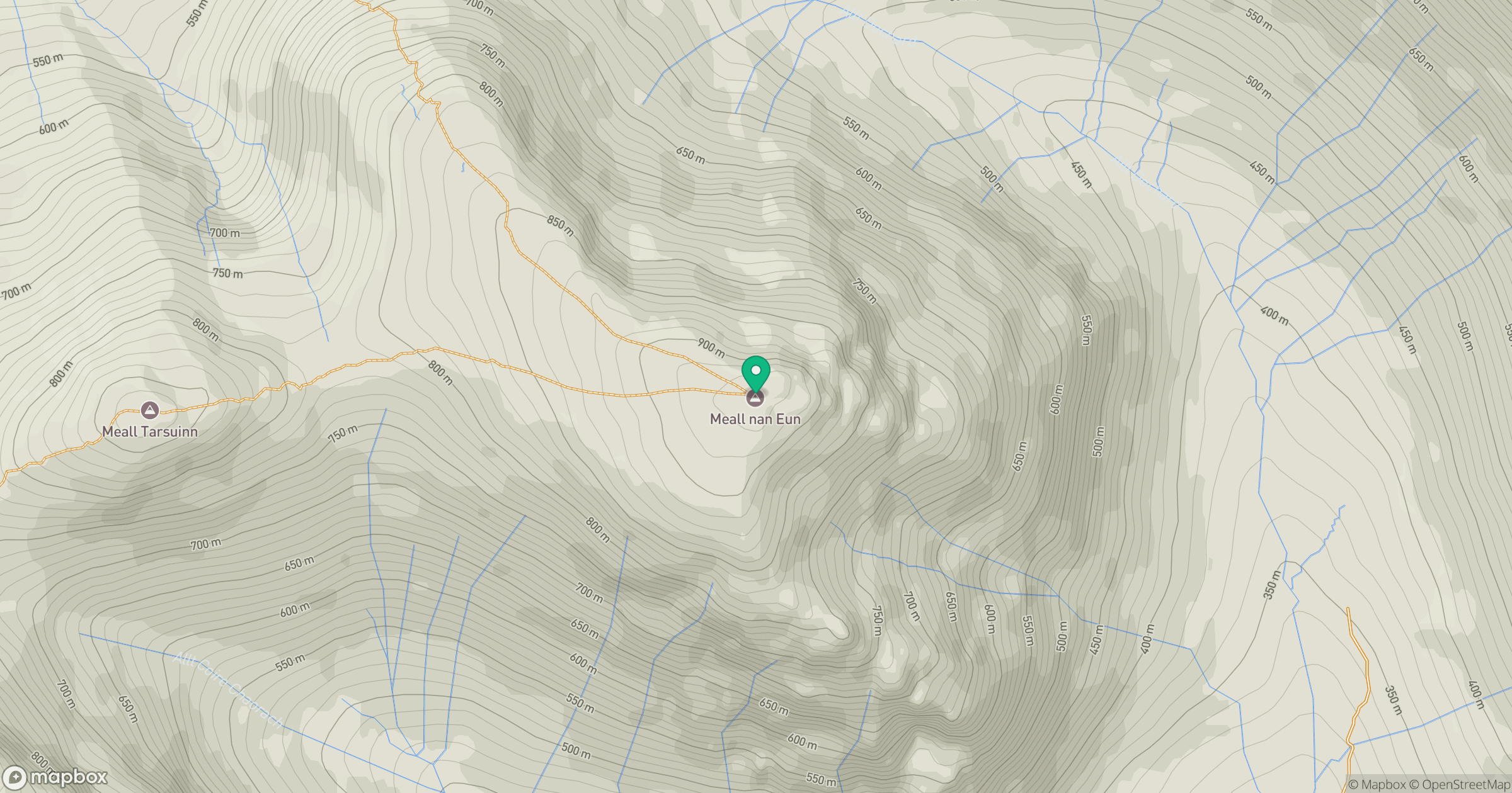
Grid reference: NN192449
View on OpenStreetMapOpens a map in a new tab, centred on the hill.
Nearby Hills
Stob Ghabhar
1,089m
Buachaille Etive Mor - Stob na Broige
953m
Buachaille Etive Beag - Stob Dubh
957m
Creise
1,100m
Buachaille Etive Beag - Stob Coire Raineach
924m
No comments yet. Be the first.