
Meall Garbh
Good walks are even better shared.
Overview
Meall Garbh
Introduction
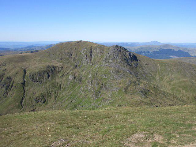
Nestled in the stunning Scottish Highlands, Meall Garbh stands proud as a Munro at an elevation of 934 meters. This rugged peak is not just another dot on the map; it’s an invitation to explore the wild beauty of Scotland. With its prominent craggy features and stunning vistas, it offers a delightful challenge for avid walkers and seasoned hikers alike.
Geology
Meall Garbh is composed mainly of schist and granite, giving it a robust and rugged appearance. The geological formations around the peak showcase a rich history of glacial activity, allowing for fascinating exploration for geology buffs. Remains of ancient ice flows can still be observed in the surrounding valleys, making it an outdoor classroom.
Routes
One of the most popular ways to ascend Meall Garbh is via the Ben Lawers Path. Starting from the Ben Lawers visitor centre, this moderate route spans approximately 8.5 km round trip and can be completed in about 4.5 hours. The path is well-trodden and offers spectacular sights along the way, so don't forget your camera!
Summit Features
Upon reaching the summit, hikers are greeted by a substantial stone cairn and a trig point that marks the pinnacle of the hill. The panoramic views are absolutely breathtaking, with sights ranging from the rugged peaks of Glencoe to the serene waters of Loch Tay.
Terrain
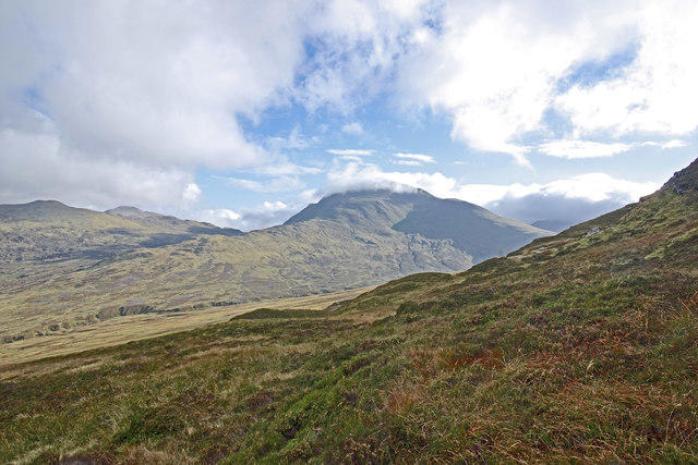
The terrain on approach can be quite rugged and rocky with some sections of grass. Be prepared for the occasional boggy area, especially after a good rain, when it feels like you're walking through a sponge!
Views
From the summit, the views are nothing short of spectacular. On a clear day, you can take in the surrounding mountains of the Scottish Highlands and the shimmering surface of Loch Tay. Best Seasons: Spring and early summer are ideal for enjoying wildflowers, whilst autumn is simply stunning with blooming heather that transforms the landscape into a violet paradise.
Hazards
While Meall Garbh is relatively accessible, it’s essential to be aware of loose rocks and the steep paths that characterise the ascent. The weather can turn on a sixpence, so be prepared for sudden changes that can affect visibility.
Nearby Summits
Neighboring giants such as Ben Lawers at 1214 meters and Meall a' Choire Leith at 1035 meters offer further adventures for those wanting more from their Highland experience.
Access
- Nearest Parking: The Ben Lawers car park provides ample parking but can fill up quickly, especially during sunny weekends. There's usually a small donation asked for maintaining the area.
- Public Transport: Services run from Aberfeldy but check the latest schedule as they may not operate frequently.
- Nearest Town: Killin is the closest settlement, located about 10 km from the car park.
Facilities
While there are no cafes or shops directly on the mountain, the Ben Lawers visitor centre has essential facilities for hikers. Toilets are available, ensuring a comfort stop before tackling the trail.
History
The name 'Meall Garbh' directly translates to 'rough hill', a fitting name for this magnificent summit. Its cultural significance is enriched as part of a designated National Scenic Area, making every step a stroll through history and nature.
Whether you're a seasoned Munro-bagger or a casual walker with a penchant for the picturesque, Meall Garbh promises an unforgettable experience. Suit up and hit the trails, but always remember - there’s no such thing as bad weather, only inappropriate clothing!
Explore routes near Meall Garbh
Walks starting near this hill. Open a route to check its map, distance and full itinerary.
Killin: Falls of Dochart, Finlarig and Moirlanich Longhouse
View route
Kenmore: Drummond Hill Black Rock Trail above Loch Tay
View route
Aberfeldy: Glassie Woodland and River Tay Circular
View route
Monachyle Glen pack-pony short walk
View route
Route planning notes
These notes describe possible approaches. Check a route's map and access information when planning your walk.
Ben Lawers Path
A popular route beginning from the Ben Lawers visitor centre leading to the summit of Meall Garbh.
Make a day of it, together
Find someone to share the walk with, or organise a day out along a route you like.
Hill facts and local notes
Classifications
Elevation
1,123m
3,685 ft
Prominence
198m
Coordinates
56.5661, -4.2077
NN644437
OS Map
51
Explorer: OL48E 378E
At the Summit
The summit features a substantial cairn and a dramatic view over the surrounding mountains, with a trig point marking the highest point.
Terrain & Geology
Meall Garbh is primarily composed of schist and granite. The rugged terrain features craggy outcrops that are a delight for geology enthusiasts, with glacial and erosional features that tell the story of ancient ice flows.
Views & Scenery
From the summit, on a clear day you can see the majestic peaks of Glencoe, Ben Nevis, and even the shimmering waters of Loch Tay.
History & Heritage
Name Origin
The name 'Meall Garbh' translates to 'rough hill', likely a nod to its rugged terrain.
Historical Significance
Not only is it a popular Munro among hillwalkers, but it is also part of a designated National Scenic Area.
Getting There & Facilities
Parking
Ben Lawers car park, which has ample space but can get busy during peak seasons. A donation is often requested for maintenance.
Public Transport
Regular bus services operate from Aberfeldy to the visitor centre, although travellers may need to arrange local transport to the car park.
Nearby Facilities
The Ben Lawers visitor centre has basic facilities, including visitor information, although there are no shops or cafes directly on the mountain.
Safety Information
Known Hazards
- Loose rocks and steep sections. Weather can change rapidly, leading to reduced visibility.
General Safety Tips
- Check weather conditions before setting out
- Carry appropriate clothing and equipment
- Let someone know your planned route
- Take a map, compass, and GPS device
- Carry emergency supplies: food, water, first aid kit, torch
Hills
Some common questions about the hills answered
Are there group walks up Meall Garbh?
Many walkers use Walkmates to join or organise walks with others. You can check for group walks around Meall Garbh through the maps
Are there other walkers around Meall Garbh?
Activity varies by location and time, but Walkmates lets you see whether others have shared walks or shown interest in this area. Find other people through the walking friends search walking friends for Meall Garbh search or of course create your own walk for Meall Garbh
Can I organise a walk to Meall Garbh?
Yes. If there aren’t any walks listed already, you can create a walk and make it available for others to join.
If you're signed up to Walkmates, you can create a walk to Meall Garbh.
How do I find a walk up this hill?
There are often multiple ways to walk this hill, depending on experience and route preference. Walkmates helps you explore walks and routes that others have shared.
Can I suggest a new route up Meall Garbh?
Yes. You can suggest or create routes to share with others. Walkmates focuses on the social side of walking, so routes are used to help people organise walks and explore areas together, rather than as detailed navigation tools or route libraries.
Other uses really appreciate knowledgeable walkers sharing their routes. Share your favourite route to Meall Garbh here
The is an error or something incorrect about this hill. How do I let you know?
We always strive to keep the information on Walkmates as accurate as possible. If you find an error, please let us know through the contact form and we'll aim to correct it as quickly as possible
Community Discussion
Comments
Location
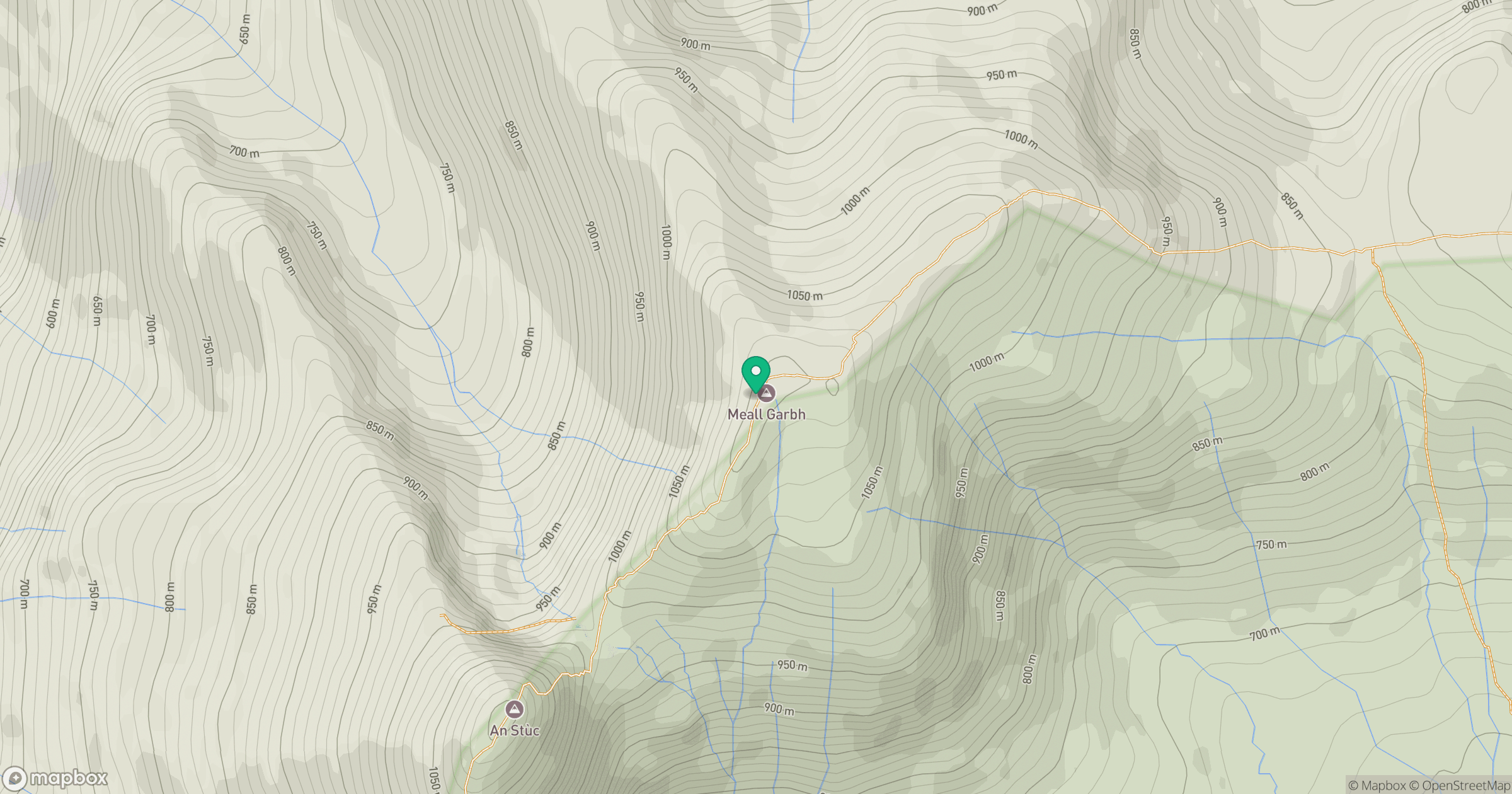
Grid reference: NN644437
View on OpenStreetMapOpens a map in a new tab, centred on the hill.
No comments yet. Be the first.