

Loch Fell
Good walks are even better shared.
Overview
Loch Fell
Loch Fell is a hidden gem nestled in the Southern Uplands of Scotland, standing proudly at 528 meters. With its lush landscapes and stunning vistas, this hill provides both a challenge and a tranquil escape from the hustle and bustle.
Geology
As you ascend Loch Fell, you might notice the rugged volcanic rocks underfoot—particularly the andesite. The colourful displays of flora and fauna interspersed with these rocky terrains create a perfect natural tapestry.
Routes
There are a couple of routes worth considering:
- Fellside Circuit: Stretching about 10 km, this moderate hike allows you to revel in the scenic views while keeping your heart rate up. Expect a bit of legwork, but it’s rewarding.
- From the Talla Reservoir: This easy 6.5 km walk is ideal for families. The terrain is fairly straightforward, making it a great introduction to hiking without the headaches of meters upon metres of climb.
Summit Features
Upon reaching the summit, you’re greeted with a quaint stone cairn—an ideal place to catch your breath (but be careful not to sit on any surprise critters!). It’s a great spot to share tall tales and sandwiches.
Terrain Type
The terrain here is a delightful mix of rocky and grassy patches, alongside some gentle bogs to keep you entertained. It’s a mix that provides both beauty and the chance to practice your agility.
Views
The panoramic views from the summit are nothing short of stunning. You can see the rolling hills of the Southern Uplands and, on clear days, the Lowther Hills poke out in the distance. Late spring and early autumn are the best times to enjoy this spectacle without needing a snow shovel.
Hazards
Be warned: the weather can be a tad temperamental! Prepare for some surprises if you venture up; a good waterproof jacket might just save the day (and your sandwich). Also, keep an eye on where you step—those tricky bogs are a reminder that nature has a sense of humour!
Access
Getting to Loch Fell is a breeze: there's parking at the Talla Reservoir, and local bus service to Broughton connects here sporadically. If you fancy a cuppa before or after your hike, Broughton has a few acceptably nice cafes waiting.
Facilities
The village of Broughton provides a taste of civilisation with cafes and public toilets. Great to appease the pre- or post-hike needs—refuel and recharge!
History
The name Loch Fell refers to both the lochs nearby and the fell moorland itself. Historically, this area has served as an important route for shepherds and hikers alike, contributing to local folklore and stories celebrated by the community.
If you're itching for a wonderful rural experience, Loch Fell might just be the ticket. Grab your boots, a decent map, and let nature do the rest!
Explore routes near Loch Fell
Public walks starting within 80 km of this hill. Nearby does not mean a route reaches the summit; check its map and access before setting out.
Moffat Gallow Hill Woodland and Viewpoint Circuit
View route
Forest of Ae Water of Ae Riverside Trail
View route
Hoddom Castle and River Annan Woodland Circuit
View route
Hawick: Wilton Lodge Park and River Teviot Circular
View route
Route planning notes
These notes describe possible approaches, not verified navigable routes or permission to cross land. Check current paths, local access rules and conditions before setting out.
Fellside Circuit
A popular circuit starting from the village of Kircubbin, this route offers a mix of gentle slopes and steeper sections, perfect for intermediate hikers looking to stretch their legs.
From the Talla Reservoir
This straightforward approach takes you along well-defined paths, providing stunning views and a leisurely pace ideal for families.
Make a day of it, together
Find someone to share the walk with, or organise a day out along a route you like.
Photo Gallery
View all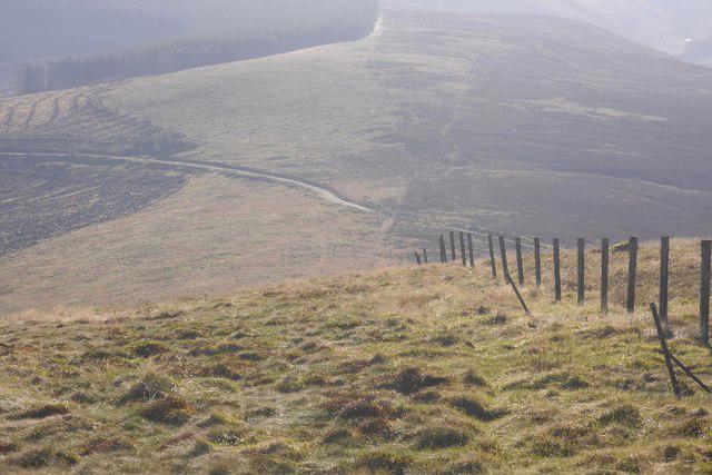 Photo could not load
NT1704 : Fence on Loch Fell
Richard Webb
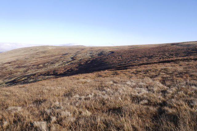 Photo could not load
NT1704 : On Loch Fell
Richard Webb
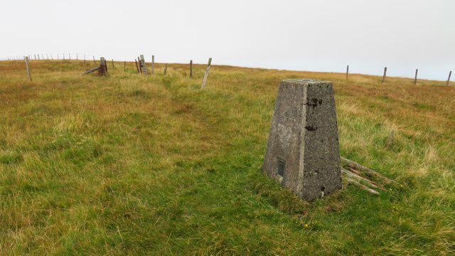 Photo could not load
NT1704 : Trig Point on Loch Fell
Colin Park
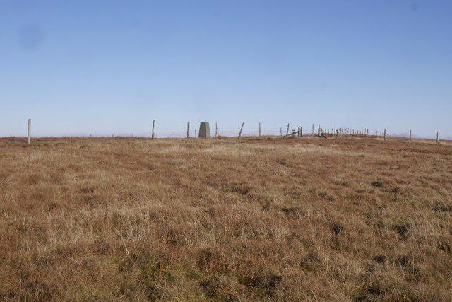 Photo could not load
NT1704 : Summit, Loch Fell
Richard Webb
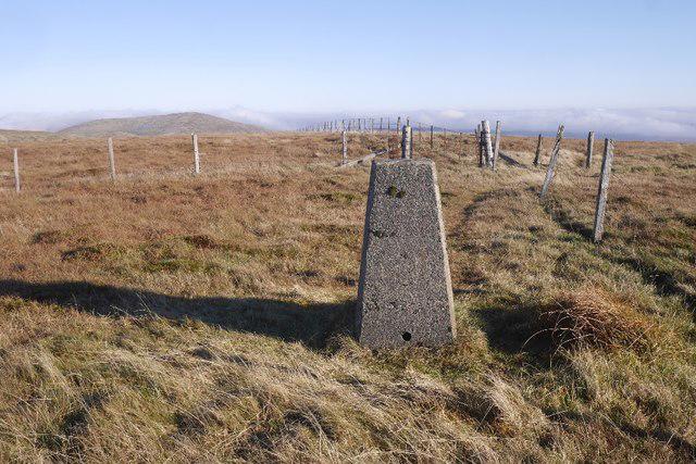 Photo could not load
NT1704 : Triangulation pillar, Loch Fell
Richard Webb
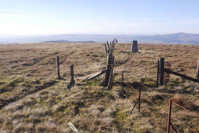 Photo could not load
NT1704 : Triangulation pillar, Loch Fell
Richard Webb
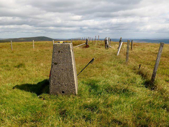 Photo could not load
NT1704 : Ettrick Pen - Loch Fell
Rude Health
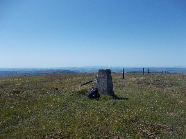 Photo could not load
NT1704 : Summit of Loch Fell
Iain Russell
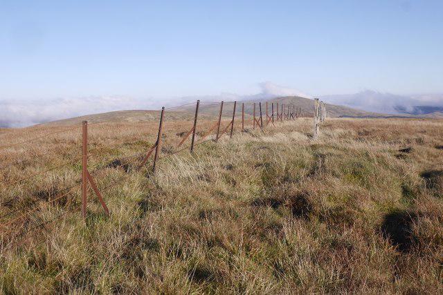 Photo could not load
NT1704 : Summit, Loch Fell
Richard Webb
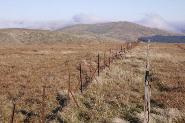 Photo could not load
NT1704 : View towards Ettrick Pen
Richard Webb
Hill facts and local notes
Classifications
Elevation
688m
2,258 ft
Prominence
126m
Coordinates
55.3296, -3.3093
NT170047
OS Map
79
Explorer: 330
At the Summit
At the summit, you'll find a simple stone cairn surrounded by a vast expanse of nature, sometimes adorned with offerings of pebbles left by previous hikers. A perfect spot for a picnic—just mind the ants!
Terrain & Geology
Dominated by volcanic rocks, particularly andesite, which form the rugged terrain and give rise to the mountain's characteristic beauty. A lush, green landscape surrounds the rocky outcrops.
Views & Scenery
From the summit, you can see the rolling hills of the Southern Uplands, and on clear days, a glimpse of the famous Lowther Hills to the east.
History & Heritage
Name Origin
The name 'Loch' refers to the many lochs nearby, while 'Fell' indicates its moorland nature, rooted deep in the area's geography.
Historical Significance
Loch Fell has been a part of local folklore and historical narratives, often cited as a trekking spot for shepherds and today popular with ramblers.
Getting There & Facilities
Check current local access restrictions, parking rules and transport timetables before travelling. These notes do not confirm public access to the summit.
Parking
There's ample parking at the Talla Reservoir car park, located a short distance from the start of the routes.
Public Transport
The nearest bus station is in the village of Broughton, with limited services running to the area. A car is recommended for convenience.
Nearby Facilities
The closest facilities can be found in Broughton, where you can enjoy local cafes and a public toilet. Those well-loved post-hike cakes are just a short drive away!
Safety Information
Known Hazards
- Variable weather conditions can change rapidly; always be prepared with appropriate gear. Stay aware of your surroundings, as the terrain can be uneven and boggy in places.
General Safety Tips
- Check weather conditions before setting out
- Carry appropriate clothing and equipment
- Let someone know your planned route
- Take a map, compass, and GPS device
- Carry emergency supplies: food, water, first aid kit, torch
Hills
Some common questions about the hills answered
Are there group walks up Loch Fell?
Many walkers use Walkmates to join or organise walks with others. You can check for group walks around Loch Fell through the maps
Are there other walkers around Loch Fell?
Activity varies by location and time, but Walkmates lets you see whether others have shared walks or shown interest in this area. Find other people through the walking friends search walking friends for Loch Fell search or of course create your own walk for Loch Fell
Can I organise a walk to Loch Fell?
Yes. If there aren’t any walks listed already, you can create a walk and make it available for others to join.
If you're signed up to Walkmates, you can create a walk to Loch Fell.
How do I find a walk up this hill?
There are often multiple ways to walk this hill, depending on experience and route preference. Walkmates helps you explore walks and routes that others have shared.
Can I suggest a new route up Loch Fell?
Yes. You can suggest or create routes to share with others. Walkmates focuses on the social side of walking, so routes are used to help people organise walks and explore areas together, rather than as detailed navigation tools or route libraries.
Other uses really appreciate knowledgeable walkers sharing their routes. Share your favourite route to Loch Fell here
The is an error or something incorrect about this hill. How do I let you know?
We always strive to keep the information on Walkmates as accurate as possible. If you find an error, please let us know through the contact form and we'll aim to correct it as quickly as possible
Community Discussion
Comments
Location
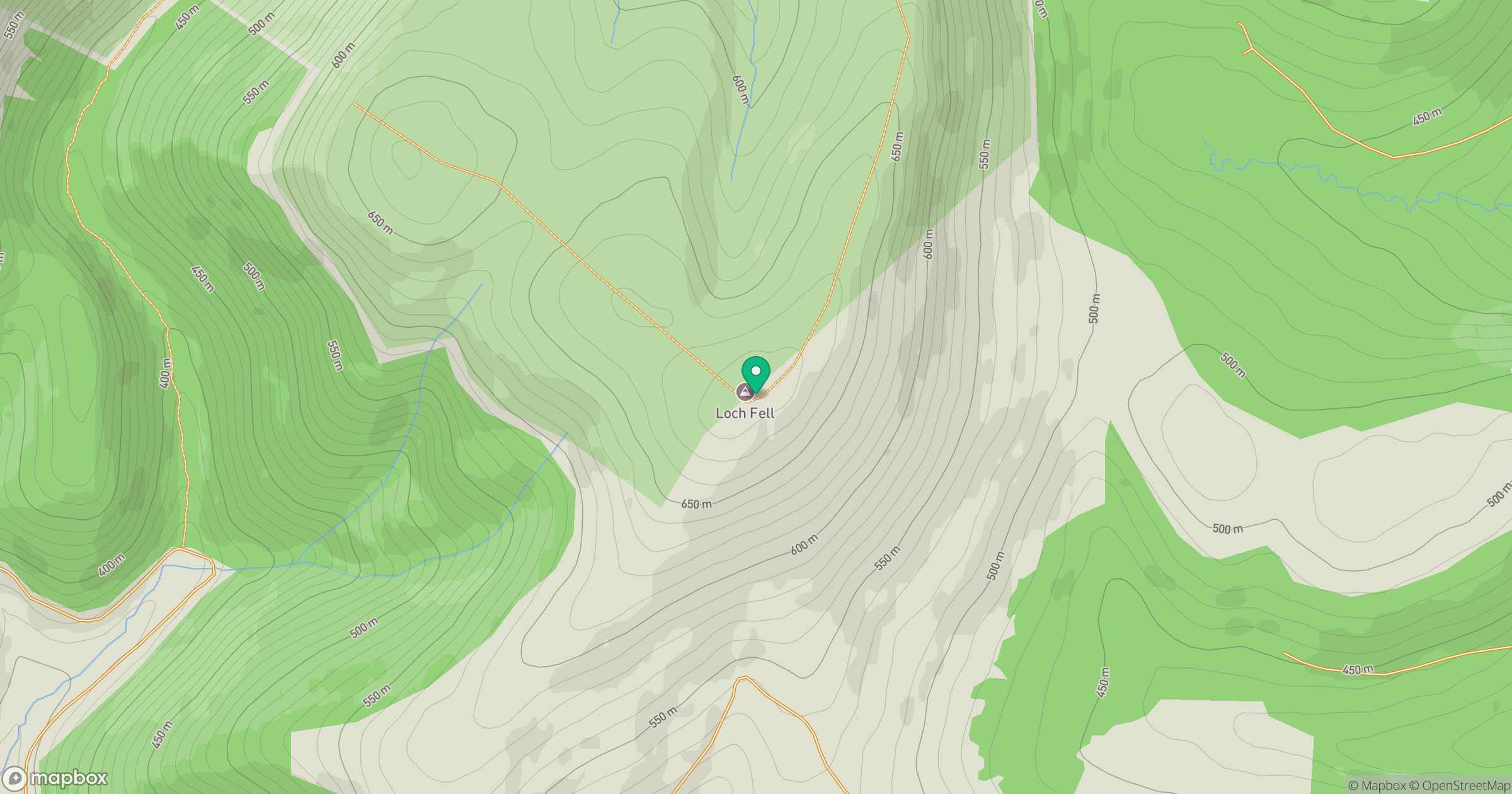
Grid reference: NT170047
View on OpenStreetMapOpens a map in a new tab, centred on the hill.
Hills within 30 km
Straight-line distance, not a walking route or confirmation of access.
No comments yet. Be the first.