

Capel Fell
Good walks are even better shared.
NT1606 : Fence junction on Capel Fell
Iain Russell Photo source
Overview
Exploring Capel Fell
Overview
Capel Fell stands proudly as one of the gems of the Scottish Borders. At an elevation of 602 meters, its modest height doesn’t detract from the breathtaking views that await those who make the trek.
Geology
The mountain is primarily composed of volcanic rock shaped by ancient glacial activity, giving it a rich geological story that enthusiasts will find fascinating. It’s like reading a history book written in stone.
Routes
The most popular route, the Troutbeck to Capel Fell Loop, is a circular hike approximately 9.5 km long, typically taking around 4.5 hours to complete. The terrain here can be quite varied, so be prepared for a bit of everything: from grassy slopes to rocky outcrops.
Summit Features
Once at the summit, you'll find a stone cairn and a trig point, both are classic features that hikers love to pose next to for that all-important social media post. Don’t forget to give a nod to the ancient spirits of the hill—nobody wants to offend them!
Terrain Type
The terrain is predominantly grassy with patches of rocks, and take caution! The ground can turn into a spongey bog following rain, so good footwear is essential.
Views
On a clear day, the views are simply awe-inspiring. You can see the Southern Uplands stretching out before you, bordered by rolling hills and distant cliffs. The best time to soak in these vistas is during early autumn or spring, making everything pop with vibrant colours.
Hazards
As beautiful as it is, Capel Fell is known for sudden weather changes—make sure you’re prepared. Visibility can drop faster than the price of a pint when the clouds roll in, and slippery paths can make descents a tad more exciting than anticipated.
Nearby Summits
Don’t miss the chance to bag additional peaks such as Timpen at 574 meters and Crag Law at 592 meters. Each offers its own unique views and challenges.
Access
The nearest parking area is located in the quaint village of Troutbeck, and while public transport is a bit scarce, local services can drop you off in surrounding villages.
Facilities
For facilities, head to Peebles, about 12 miles away, which boasts plenty of eateries and pubs for a well-deserved meal after your hike. Toilets are conveniently located at the park entrance there too.
History
The name 'Capel Fell' harks back to an ancient time, deriving from the Old Welsh term for chapel. This hints at the area’s cultural significance and rich history as a gathering place.
Capel Fell may not be the highest peak in the Scottish Borders, but it certainly holds its own beauty and charm. Come for the hike, stay for the views, and perhaps treat yourself to a well-earned meal afterward. Happy hiking!
Explore routes near Capel Fell
Walks starting near this hill. Open a route to check its map, distance and full itinerary.
Moffat Gallow Hill Woodland and Viewpoint Circuit
View route
Forest of Ae Water of Ae Riverside Trail
View route
Cademuir Forest Pilots Trail
View route
Hoddom Castle and River Annan Woodland Circuit
View route
Route planning notes
These notes describe possible approaches. Check a route's map and access information when planning your walk.
Troutbeck to Capel Fell Loop
A circular route starting from Troutbeck, offering varied terrain including grassland and rocky paths.
Make a day of it, together
Find someone to share the walk with, or organise a day out along a route you like.
Photo Gallery
View all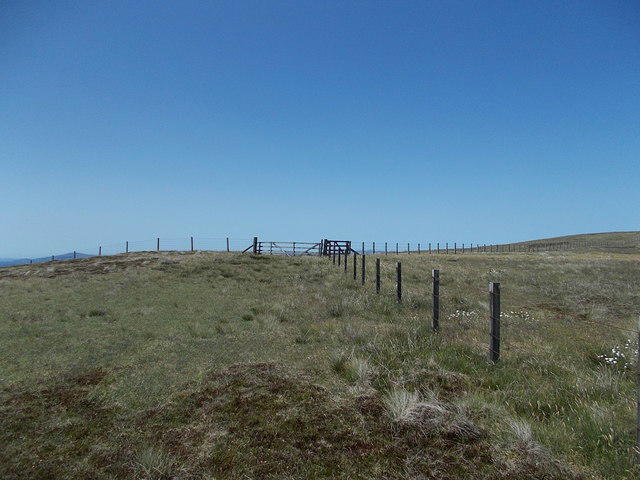 Photo could not load
NT1606 : Fence junction on Capel Fell
Iain Russell
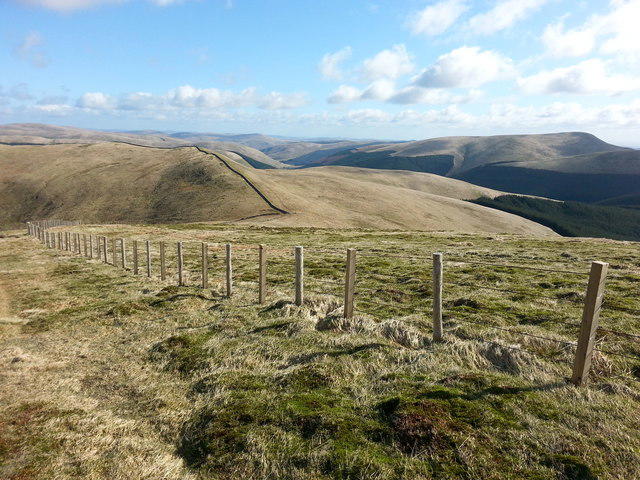 Photo could not load
NT1607 : Looking towards Smidhope Hill on the descent from Capel Fell
Clive Nicholson
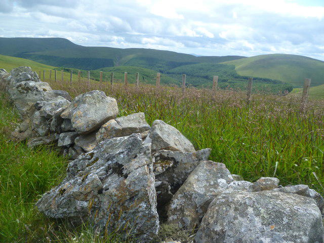 Photo could not load
NT1607 : Old Wall, Capel Fell
Michael Graham
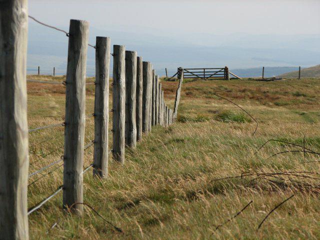 Photo could not load
NT1606 : Capel Fell fence
Callum Black
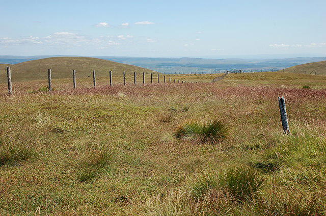 Photo could not load
NT1606 : Summit, Capel Fell
Jim Barton
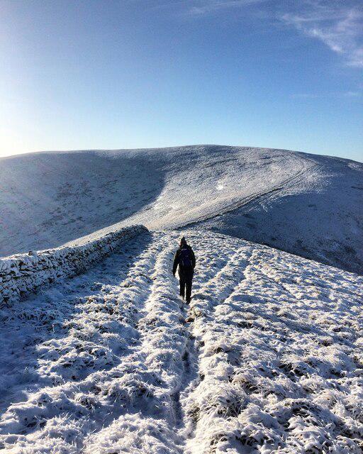 Photo could not load
NT1607 : Capel Fell on a crisp winter’s morning
Iain Lees
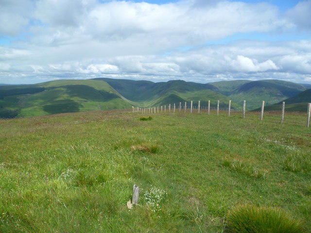 Photo could not load
NT1606 : On Capel Fell
Michael Graham
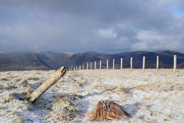 Photo could not load
NT1606 : The summit of Capel Fell
James T M Towill
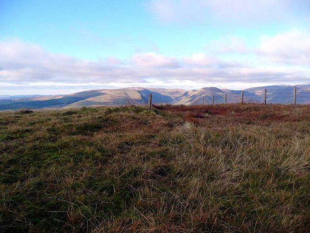 Photo could not load
NT1606 : The summit of Capel Fell
Gordon Brown
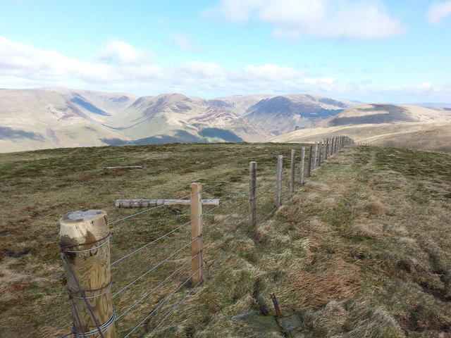
NT1606 : The fence on the Summit of Capel Fell as it turns north east
Clive Nicholson
Hill facts and local notes
Classifications
Elevation
678m
2,225 ft
Prominence
159m
Coordinates
55.3491, -3.3200
NT163069
OS Map
79
Explorer: 330
At the Summit
The summit features a stone cairn and a modest trig point, perfect for a classic summit selfie.
Terrain & Geology
Primarily composed of volcanic rock with significant glacial deposits; fascinating for those interested in the earth's history.
Views & Scenery
Dramatic views of the Southern Uplands, the rolling landscape of the Borders, and on clear days, the distant coastal cliffs.
History & Heritage
Name Origin
Capel Fell derives its name from 'Capel', which is derived from the Old Welsh word for chapel, hinting at its historical significance as a place of gathering.
Historical Significance
The hill has played a part in local lore and serves as a landmark for navigation.
Getting There & Facilities
Parking
There is a small parking area near the Troutbeck village, conducive for a quick start to your adventure.
Public Transport
Limited public transport; best accessed by car. Local bus services can drop you off at nearby villages.
Nearby Facilities
A few cafes and pubs in Peebles provide refreshments before or after your hike. Toilets are available at the park entrance in Peebles.
Safety Information
Known Hazards
- Watch out for sudden weather changes typical of the Scottish Borders; poor visibility and slippery paths can catch unwary hikers.
General Safety Tips
- Check weather conditions before setting out
- Carry appropriate clothing and equipment
- Let someone know your planned route
- Take a map, compass, and GPS device
- Carry emergency supplies: food, water, first aid kit, torch
Hills
Some common questions about the hills answered
Are there group walks up Capel Fell?
Many walkers use Walkmates to join or organise walks with others. You can check for group walks around Capel Fell through the maps
Are there other walkers around Capel Fell?
Activity varies by location and time, but Walkmates lets you see whether others have shared walks or shown interest in this area. Find other people through the walking friends search walking friends for Capel Fell search or of course create your own walk for Capel Fell
Can I organise a walk to Capel Fell?
Yes. If there aren’t any walks listed already, you can create a walk and make it available for others to join.
If you're signed up to Walkmates, you can create a walk to Capel Fell.
How do I find a walk up this hill?
There are often multiple ways to walk this hill, depending on experience and route preference. Walkmates helps you explore walks and routes that others have shared.
Can I suggest a new route up Capel Fell?
Yes. You can suggest or create routes to share with others. Walkmates focuses on the social side of walking, so routes are used to help people organise walks and explore areas together, rather than as detailed navigation tools or route libraries.
Other uses really appreciate knowledgeable walkers sharing their routes. Share your favourite route to Capel Fell here
The is an error or something incorrect about this hill. How do I let you know?
We always strive to keep the information on Walkmates as accurate as possible. If you find an error, please let us know through the contact form and we'll aim to correct it as quickly as possible
Community Discussion
Comments
Location
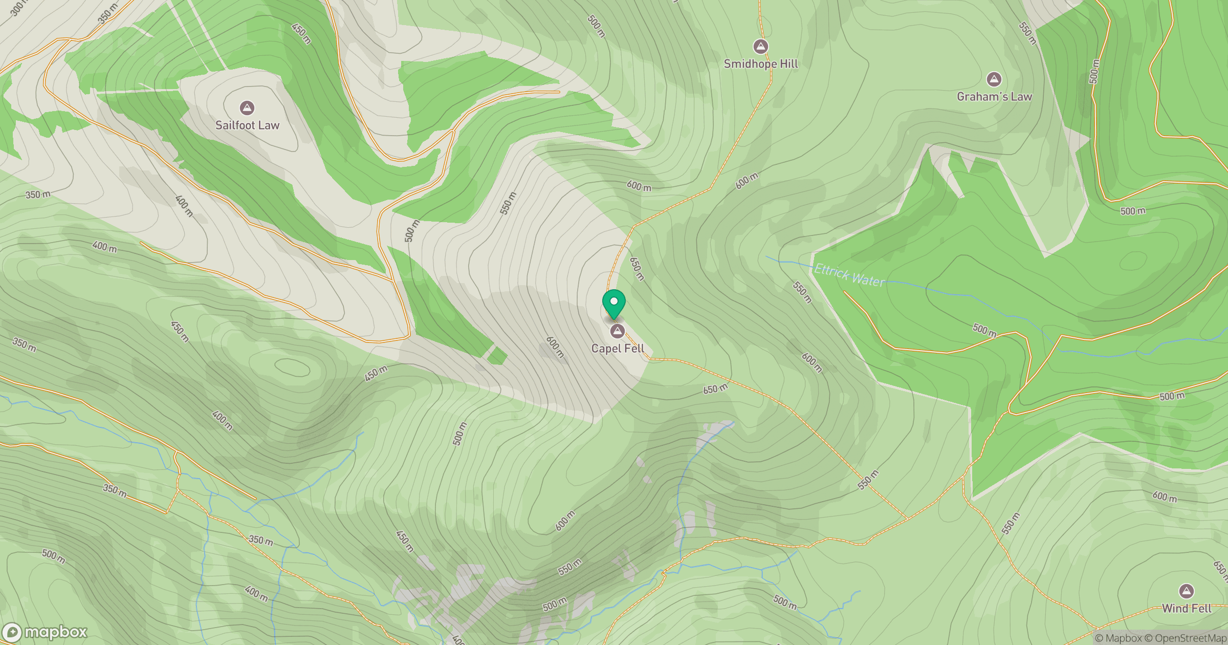
Grid reference: NT163069
View on OpenStreetMapOpens a map in a new tab, centred on the hill.


No comments yet. Be the first.