

Knockour Hill - Mount Misery
Good walks are even better shared.
Overview
Knockour Hill - Mount Misery
Knockour Hill, affectionately dubbed 'Mount Misery' (though we promise the only misery you'll find is forgetting your sandwiches), is a hidden gem in the stunning Lake District. Standing at a respectable 382 meters, it's an inviting challenge for all levels of hikers.
Geology
The hill is primarily formed of Swarthmoor Limestone, which creates a distinct and rugged landscape. If you're a geology buff, you’ll want to pay attention to the fascinating erosion patterns shaped by centuries of weather.
Parking and Access
Accessing Knockour Hill is a straightforward affair. The nearest parking available is at the Hutton Roof Car Park, roughly 1 km from where your adventure begins. For those relying on public transport, buses running from Kendal to Hutton Roof operate regularly, letting you enjoy the lush surroundings without worrying about the hassle of driving.
Routes
The most popular route takes you from Hutton Roof Crags. This moderate trail meanders through lush woodlands before emerging into open moorland. The hike spans about 6.5 km and takes approximately 2.5 hours, putting you in prime condition to tackle a hearty lunch at the summit!
Summit Features
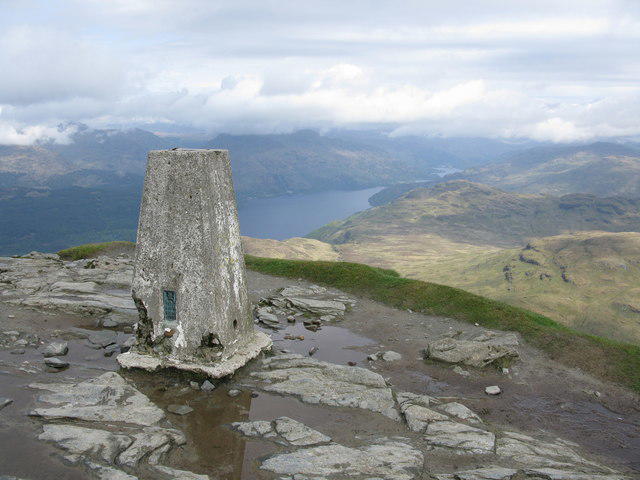
As you reach the top, you’ll be greeted by a robust cairn alongside a stony shelter, making it a suitable spot for both resting and absorbing the splendid views. It is not uncommon to find fellow hikers here, sharing tales and snacks alike.
Views
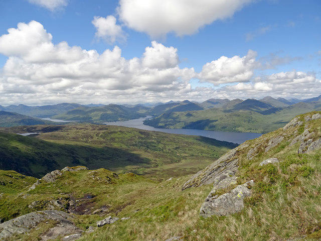
Once at the summit, the panoramas are nothing short of spectacular. On a clear day, you can gaze over the Howgill Fells and, towards the east, the expansive Yorkshire Dales. The best seasons to fully appreciate these views are spring and early autumn when the weather is generally mild and visibility is at its peak.
Hazards
While Knockour Hill is inviting, a few hazards exist to keep you on your toes. Be sure to tread carefully on slippery rocks, particularly when the ground is damp. Additionally, maintain a vigilant eye out for sheep that may have taken a liking to the trails as their grazing ground!
Nearby Summits
For those looking to extend their adventure, you might consider nearby summits like Hutton Roof Crags at an elevation of 330 meters or Great Coum, which stands at 687 meters—giving you the perfect opportunity to rack up those elevation stats!
Facilities
When it comes to post-hike treats, the nearest township is Kendal, where you'll find welcoming cafes to relax and refresh your spirits, as well as public restrooms—because let’s face it, no one wants to be caught short on a hike.
Conclusion
So whether you're a seasoned hiker or just looking for a pleasant stroll and a good view, Knockour Hill - Mount Misery is ready to serve up plenty of enjoyable memories. Lace up your boots, grab your walking stick, and don't forget the sandwiches—after all, nobody likes a grumpy hiker!
Explore routes near Knockour Hill - Mount Misery
Public walks starting within 80 km of this hill. Nearby does not mean a route reaches the summit; check its map and access before setting out.
Ben Lomond in the trossachs
View route
Strathkelvin Railway Path: Strathblane to Kirkintilloch
View route
Loch Ard Forest: Sculpture Trail and Little Loch Ard
View route
West Highland Way: Milngavie to Drymen
View route
Route planning notes
These notes describe possible approaches, not verified navigable routes or permission to cross land. Check current paths, local access rules and conditions before setting out.
From Hutton Roof Crags
A gentle ascent through scenic woodlands and open moorland.
Make a day of it, together
Find someone to share the walk with, or organise a day out along a route you like.
Photo Gallery
View all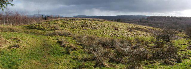 Photo could not load
NS3985 : Black Roundel
Lairich Rig
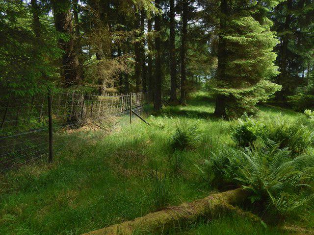 Photo could not load
NS3985 : Through the woods
Lairich Rig
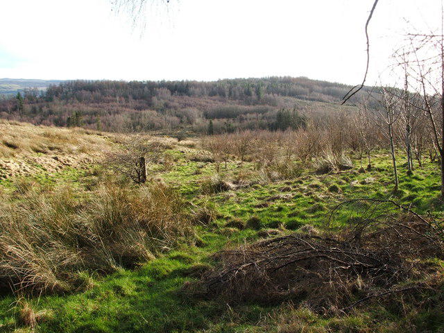 Photo could not load
NS3985 : Loop walk (return leg) - leaving the woods
Lairich Rig
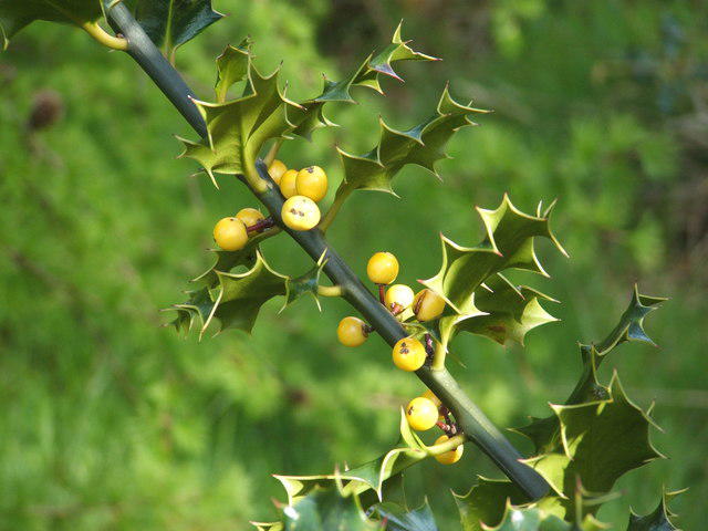 Photo could not load
NS3985 : Holly with yellow berries
Lairich Rig
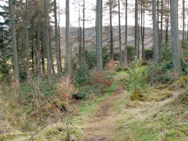 Photo could not load
NS3985 : Loop walk (return leg) - through the woods
Lairich Rig
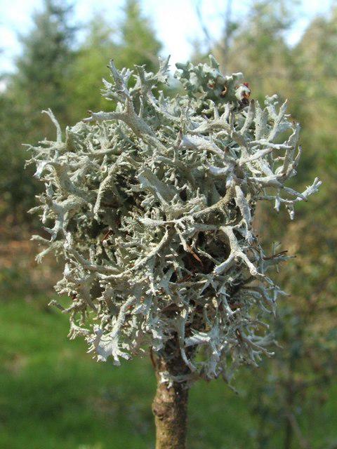 Photo could not load
NS3985 : A lichen - Pseudevernia furfuracea
Lairich Rig
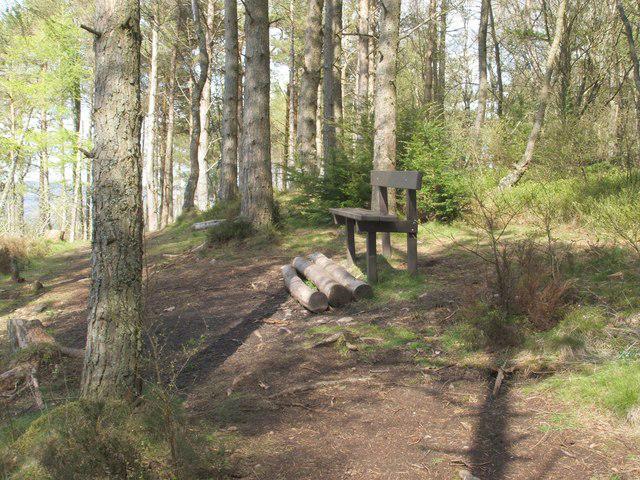 Photo could not load
NS3985 : Mount Misery
Lairich Rig
Hill facts and local notes
Classifications
Elevation
176m
577 ft
Prominence
107m
Coordinates
56.0336, -4.5732
NS397852
OS Map
56
Explorer: OL38 347
At the Summit
The summit boasts a prominent cairn alongside a small stone shelter, perfect for a picnic (or a good old chinwag).
Terrain & Geology
Composed mainly of Swarthmoor Limestone with underlying slate, offering some interesting erosion patterns.
Views & Scenery
Breathtaking views of the Howgill Fells and the Yorkshire Dales on a clear day.
History & Heritage
Name Origin
The name 'Knockour' is derived from the Old Norse 'knokkr', meaning a hill or knoll.
Historical Significance
Part of local folklore, widely speculated to be a site of ancient ceremonies.
Getting There & Facilities
Check current local access restrictions, parking rules and transport timetables before travelling. These notes do not confirm public access to the summit.
Parking
There is parking available at the Hutton Roof Car Park, approximately 1 km from the trailhead.
Public Transport
Regular bus services operate from Kendal to Hutton Roof, making it accessible for non-drivers.
Nearby Facilities
The nearest facilities are in Kendal where you'll find several cafes and public restrooms.
Safety Information
Known Hazards
- Beware of slippery rocks, especially in wet conditions; also watch out for the occasional sheep on the path!
General Safety Tips
- Check weather conditions before setting out
- Carry appropriate clothing and equipment
- Let someone know your planned route
- Take a map, compass, and GPS device
- Carry emergency supplies: food, water, first aid kit, torch
Hills
Some common questions about the hills answered
Are there group walks up Knockour Hill - Mount Misery?
Many walkers use Walkmates to join or organise walks with others. You can check for group walks around Knockour Hill - Mount Misery through the maps
Are there other walkers around Knockour Hill - Mount Misery?
Activity varies by location and time, but Walkmates lets you see whether others have shared walks or shown interest in this area. Find other people through the walking friends search walking friends for Knockour Hill - Mount Misery search or of course create your own walk for Knockour Hill - Mount Misery
Can I organise a walk to Knockour Hill - Mount Misery?
Yes. If there aren’t any walks listed already, you can create a walk and make it available for others to join.
If you're signed up to Walkmates, you can create a walk to Knockour Hill - Mount Misery.
How do I find a walk up this hill?
There are often multiple ways to walk this hill, depending on experience and route preference. Walkmates helps you explore walks and routes that others have shared.
Can I suggest a new route up Knockour Hill - Mount Misery?
Yes. You can suggest or create routes to share with others. Walkmates focuses on the social side of walking, so routes are used to help people organise walks and explore areas together, rather than as detailed navigation tools or route libraries.
Other uses really appreciate knowledgeable walkers sharing their routes. Share your favourite route to Knockour Hill - Mount Misery here
The is an error or something incorrect about this hill. How do I let you know?
We always strive to keep the information on Walkmates as accurate as possible. If you find an error, please let us know through the contact form and we'll aim to correct it as quickly as possible
Community Discussion
Comments
Location
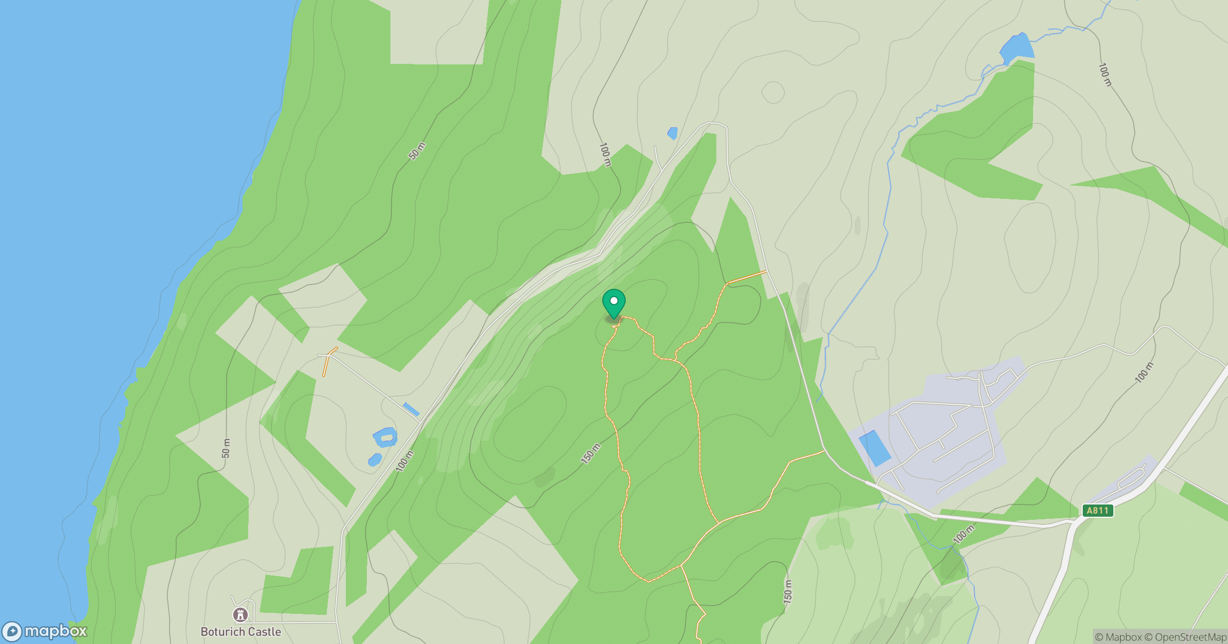
Grid reference: NS397852
View on OpenStreetMapOpens a map in a new tab, centred on the hill.
Hills within 30 km
Straight-line distance, not a walking route or confirmation of access.

No comments yet. Be the first.