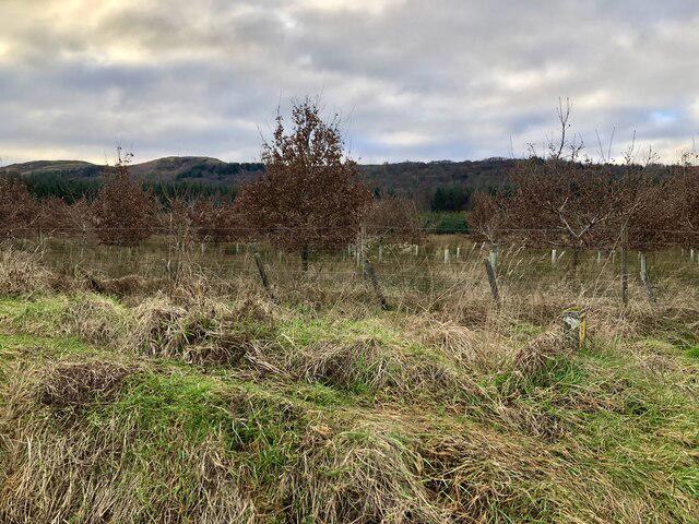
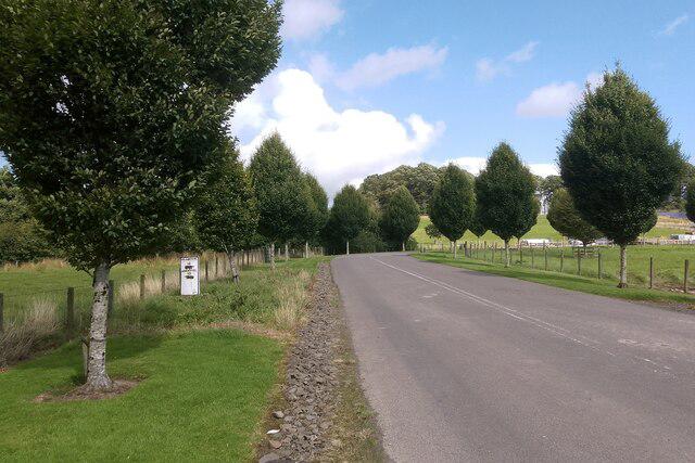
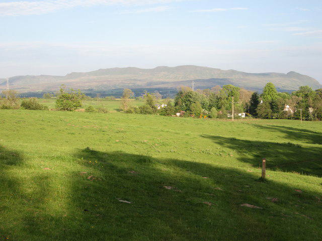
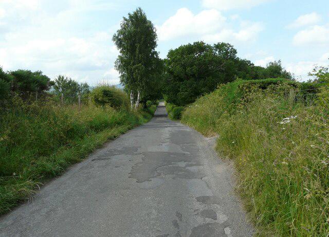
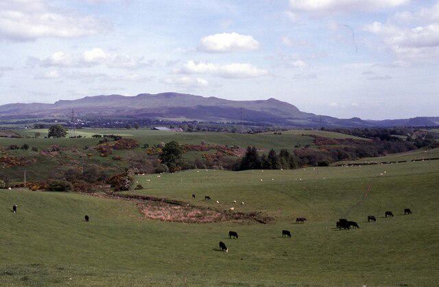
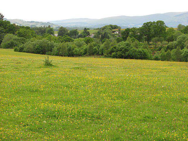
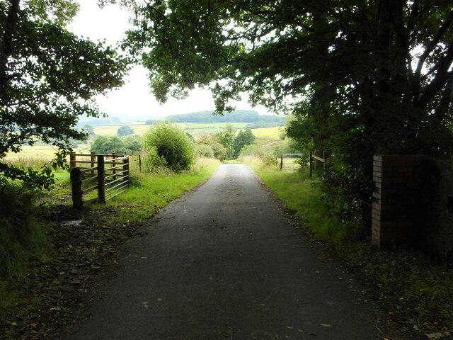
Image shared for West Highland Way: Milngavie to Drymen
Countryside Point to point

West Highland Way: Milngavie to Drymen

Walk

Strathclyde

Distance
12.6 mi
Est. time
6h
Difficulty
Medium
PaulWalkmates Route by PaulWalkmates

Save the route to find it later. Follow it to hear when a date is added.

About this walk

Start at Douglas Street council car park and follow the pedestrian approach to the West Highland Way obelisk and start arch. The first full stage leads through Mugdock Wood, past Craigallian Loch and Carbeth, then descends beside Dumgoyach to the old railway through Strathblane. Continue through Gartness and farmland before crossing the A811 and taking the established village approach to Drymen green.

Allow six hours of walking plus breaks for this long linear day. Most of the route uses paths, tracks and country lanes with modest hills, but mud, roots, gates and wet wooden surfaces can slow progress. At Carbeth, cross the B821 carefully to reach the new north-side footpath, and use it for about 500 metres. The A81 is crossed twice and the A811 once; these are busy, uncontrolled crossings. Wait for a safe gap and never walk along the A811. Watch for traffic on the Gartness lanes and the short road-junction approach before the pavements into Drymen. Keep dogs under close control around livestock and leave gates as found.

The start has public pay-and-display parking, currently £6 for stays over four hours; check signs and pay for the full stay. Arrange return transport before setting out. Drymen has bus connections rather than a railway station; check the operating day, last bus and onward journey to Milngavie. Cafes, shops and toilets are available in the towns, subject to opening. Follow current path notices, and do not camp in the enclosed livestock field before the A811.

Route map data: © OpenStreetMap contributors, licensed under the Open Database Licence.

Walk details

County
Strathclyde
Walk type
Point to point
Category
Countryside
Distance
12.6 mi (20.3 km)
Est. time
6h
Explorer
Yes, off the beaten track

Route map

Use the route details to plan your walk

If the map image does not load, the route description and starting-point details are still on this page.

The interactive map will load when you reach this section.

Where to start

Directions to start

Walking on your own?

Start when you're ready and add the walk to your history. No group date needed.

This walk is waiting for a date

Not ready to pick a date? Follow it and you'll hear when somebody else does.

No commitment. You can follow it now and pick a date later.

Along the route

10 places
Douglas Street Car Park
Parking
Top Up Tap
Drinking Water · 0.1 mi along
Costa
Cafe · 0.1 mi along
Parking
Essentials · 0.1 mi along
Milngavie Library & Community Education Centre Car Park
Parking · 0.3 mi along
Parking
Essentials · 7.1 mi along
Drinking Water
Essentials · 7.1 mi along
Drinking water
Drinking Water · 11.0 mi along
Parking
Essentials · 12.6 mi along
Top Up Tap
Drinking Water · 12.6 mi along

Terms of Service

Joining a walk

A few things to know before you make plans.

Can I join if no one else is going?

You can be the first to join a scheduled walk. A suggested date is an idea for a group walk; choose Set this date up to organise it. Check the participant list and meeting details before setting off.

What if there is no date yet?

Choose Put a date on this walk to organise a group walk. Not ready to choose a day? Follow the route for scheduling updates, or save it for later.

What does the organiser do?

The organiser sets the date and meeting details and helps the group get started. They are a fellow walker and may be new to the route too.

Each walker is responsible for their own safety and navigation. Check the route, weather, equipment and whether the walk suits your experience and fitness.

Can I walk this route on my own?

Yes. Choose Walk this route on your own to open the start screen, then start when you are ready. Finish the walk to add it to your walking history. You do not need a group date.

What happens after I join?

Use the walk page to check meeting details, updates and who is going. Check in from 24 hours before the start to let the group know you still plan to come.

How do I confirm plans with the group?

Check the participant list and check-ins, and message the organiser or other walkers to confirm where to meet and who is coming. This is especially useful when the group is small.
