

Knockeans Hill
Good walks are even better shared.
Overview
Knockeans Hill
Overview
Knockeans Hill, standing at an elevation of 421 meters, is a distinctive Marilyn in the Southern Uplands of Scotland. With its rocky terrain and stunning views, it's a favourite among locals and a must-visit for hikers seeking a moderate challenge.
Geology
The hill is composed primarily of volcanic Old Red Sandstone, coupled with glacial features that tell the story of millennia gone by. Each step on Knockeans offers a glimpse into the geological tale of Scotland's rugged landscape.
Route
The popular Knocking Route starts at NX491578, winding upwards through grassy slopes with rocky outcrops. The 5.0 km route condenses the excitement of outdoor exploration into a walk that can be completed in roughly 2 hours—perfect for those who believe in treating hikes as a race against time!
Summit Features
At the summit lies a well-built trig point alongside a proud cairn, a popular spot for a well-earned breather and, of course, bragging rights. Do remember to take a selfie—you've earned it!
Terrain
Expect a mix of grassy slopes with occasional rocky patches and bogs that could challenge your footwork. Proper hiking boots are highly recommended unless you’re keen on giving the local mud a closer inspection.
Views
From the top, hikers are rewarded with sweeping views across the Southern Uplands and can spot noteworthy landmarks such as Merrick in the distance. Late spring and early autumn present the most breathtaking vistas, especially when the heather is in full bloom.
Hazards
When hiking in this region, be mindful of the rapidly changing weather conditions. Fog can roll in unexpectedly, concealing paths and making navigation trickier. Also, look out for the occasional sheep, as they sometimes get a bit too inquisitive!
Nearby Summits
For those looking for more adventure, consider nearby heights like Merrick and Curlywee, both offering varied challenges and beautiful landscapes.
Access
The hill is accessible via a small gravel parking area at NX491578, perfect for a few vehicles. While public transport is available to Newton Stewart, expect a bit of a stroll to reach the footpath.
Facilities
After your hike, enjoy the local taste—Newton Stewart boasts several cafés and pubs where one can relax and refuel.
History
The etymology of Knockeans suggests a simple heralding of its hilly nature, while its historical roots draw enthusiasts looking to explore the ancient landscapes of Scotland.
Conclusion
Knockeans Hill is more than just a peak; it’s an adventure waiting atop a charming hill, blending geological wonders, scenic views, and Scottish history into a delightful day out.
Happy hiking!
Explore routes near Knockeans Hill
Public walks starting within 80 km of this hill. Nearby does not mean a route reaches the summit; check its map and access before setting out.
Kirroughtree Little Bruntis Lochs and Woodland Trail
View route
Kilsture Forest Woodpecker Trail
View route
Knockman Wood Cairn and Woodland Trail
View route
Wood of Cree Waterfalls and Scrubland Circuit
View route
Route planning notes
These notes describe possible approaches, not verified navigable routes or permission to cross land. Check current paths, local access rules and conditions before setting out.
The Knocking Route
A scenic ascent starting from the small parking area at the foot of the hill, taking you through a mixture of grassy knolls and rocky outcrops.
Make a day of it, together
Find someone to share the walk with, or organise a day out along a route you like.
Photo Gallery
View all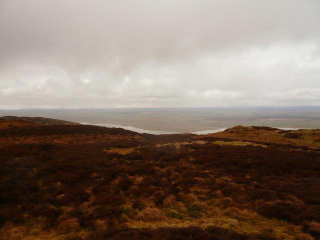 Photo could not load
NX4957 : Knockeans Hill
Andy Farrington
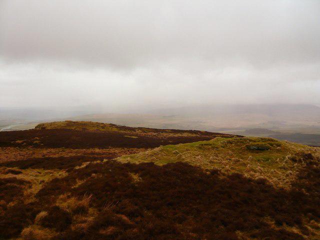 Photo could not load
NX4957 : Knockeans Hill
Andy Farrington
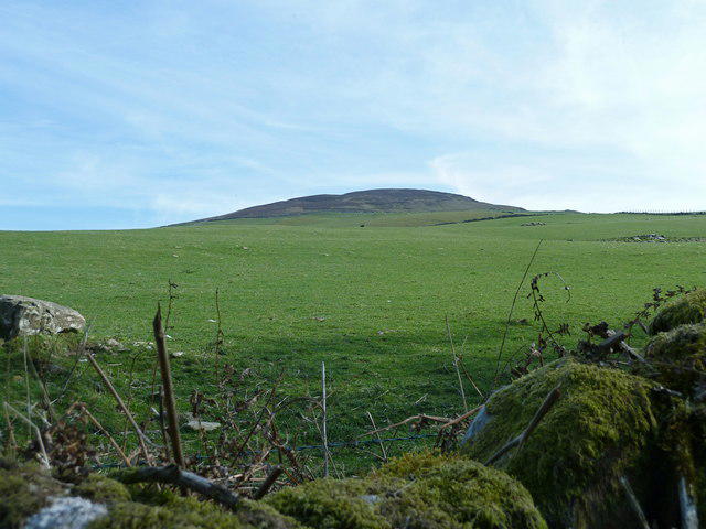 Photo could not load
NX4957 : Knockeans Hill from Balloch Wood
Anthony O'Neil
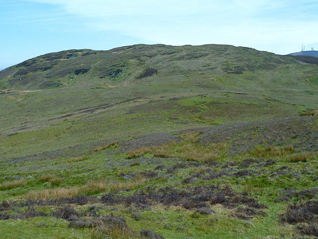 Photo could not load
NX4957 : View of Knocheans Hill from the west
Anthony O'Neil
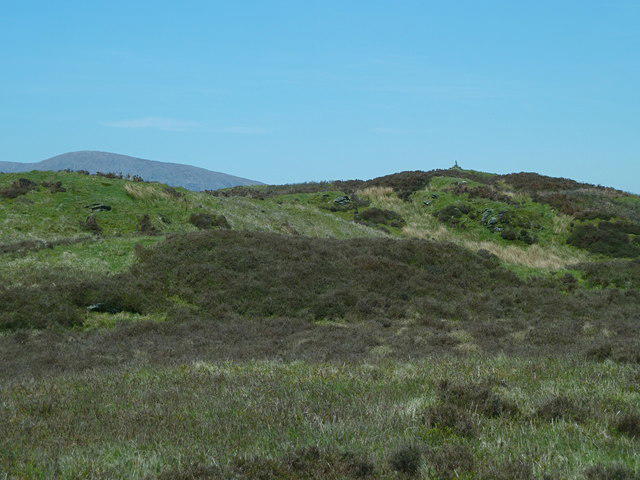 Photo could not load
NX4957 : Approaching the summit Knockeans Hill
Anthony O'Neil
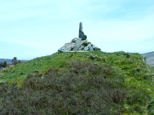 Photo could not load
NX4957 : Summit of Knockeans Hill
Anthony O'Neil
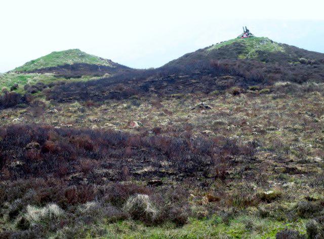 Photo could not load
NX4957 : Knockeans Hill
Rude Health
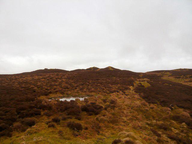 Photo could not load
NX4957 : Footpath on Knockeans Hill
Andy Farrington
Hill facts and local notes
Classifications
Elevation
297m
974 ft
Prominence
129m
Coordinates
54.8916, -4.3514
NX492577
OS Map
83
Explorer: 311
At the Summit
The summit boasts a substantial cairn and a modern trig point, offering a great vantage point for aspiring photographers and those who like to prove they made it to the top.
Terrain & Geology
Knockeans Hill primarily features volcanic rock formations from the Old Red Sandstone period, typically characterised by its rugged slopes and diverse ecology. The surrounding areas are also rich in glacial deposits, offering a fascinating insight into the geological history of the region.
Views & Scenery
From the summit, one can see the rolling hills of the Southern Uplands, with views as far as the distant Merrick and the picturesque valleys that surround it.
History & Heritage
Name Origin
The name 'Knockeans' possibly derives from the Scots Gaelic 'cnoc,' meaning hill, indicating the hilly character of the area.
Historical Significance
The hill is part of the ancient borderlands and has historical significance for walkers, nature enthusiasts, and also as a former lookout for sheep drovers.
Getting There & Facilities
Check current local access restrictions, parking rules and transport timetables before travelling. These notes do not confirm public access to the summit.
Parking
There is a small gravel parking area located at NX491578, suitable for a handful of cars; arrive early to secure a spot.
Public Transport
The nearest town, Newton Stewart, is accessible by bus, but prepare for a bit of a walk from there to reach the start of the route.
Nearby Facilities
Facilities are sparse up the hill itself, but Newton Stewart offers various cafés and pubs for a well-deserved post-hike meal or drink.
Safety Information
Known Hazards
- Varying weather conditions can lead to fog, and the terrain can become slippery, particularly after rain. Keep an eye out for livestock and never approach overly curious sheep!
General Safety Tips
- Check weather conditions before setting out
- Carry appropriate clothing and equipment
- Let someone know your planned route
- Take a map, compass, and GPS device
- Carry emergency supplies: food, water, first aid kit, torch
Hills
Some common questions about the hills answered
Are there group walks up Knockeans Hill?
Many walkers use Walkmates to join or organise walks with others. You can check for group walks around Knockeans Hill through the maps
Are there other walkers around Knockeans Hill?
Activity varies by location and time, but Walkmates lets you see whether others have shared walks or shown interest in this area. Find other people through the walking friends search walking friends for Knockeans Hill search or of course create your own walk for Knockeans Hill
Can I organise a walk to Knockeans Hill?
Yes. If there aren’t any walks listed already, you can create a walk and make it available for others to join.
If you're signed up to Walkmates, you can create a walk to Knockeans Hill.
How do I find a walk up this hill?
There are often multiple ways to walk this hill, depending on experience and route preference. Walkmates helps you explore walks and routes that others have shared.
Can I suggest a new route up Knockeans Hill?
Yes. You can suggest or create routes to share with others. Walkmates focuses on the social side of walking, so routes are used to help people organise walks and explore areas together, rather than as detailed navigation tools or route libraries.
Other uses really appreciate knowledgeable walkers sharing their routes. Share your favourite route to Knockeans Hill here
The is an error or something incorrect about this hill. How do I let you know?
We always strive to keep the information on Walkmates as accurate as possible. If you find an error, please let us know through the contact form and we'll aim to correct it as quickly as possible
Community Discussion
Comments
Location
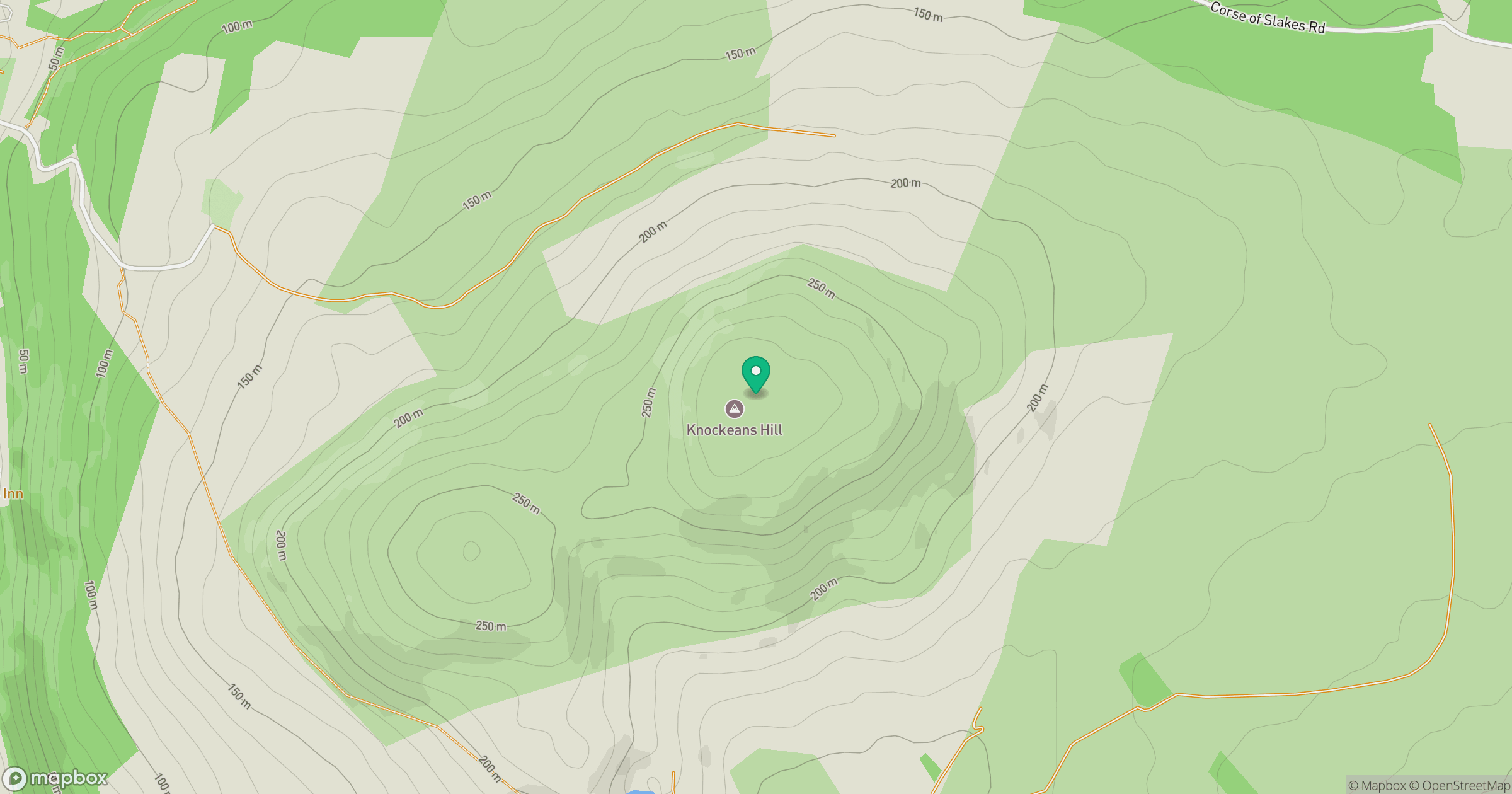
Grid reference: NX492577
View on OpenStreetMapOpens a map in a new tab, centred on the hill.
Hills within 30 km
Straight-line distance, not a walking route or confirmation of access.
No comments yet. Be the first.