

Hope's Nose Hill
Good walks are even better shared.
SX9463 : View over Hope Cove and Brandy Cove
Philip Halling Photo source
Overview
Hope's Nose Hill
Overview
Located in the scenic region of South Devon, Hope's Nose Hill is a Marilyn with an elevation of 134 meters that presents not only a splendid view but a rewarding adventure for hikers and nature lovers alike.
Geology
The hill is made primarily of limestone, revealing a treasure trove of fossils - if you squint hard enough, you might even find a few marine fossils. Hope's Nose also boasts picturesque cliffs that beckon climbers and photographers alike, providing the perfect backdrop for stunning seaside snapshots.
Routes
One of the most popular routes is the Hope's Nose Circular. This well-defined trail leads you through breathtaking coastal scenery. It’s about 5.5 kilometers, taking roughly 2.5 hours to complete, largely due to the frequent photo stops - a necessary evil as the view is simply too good to ignore. It’s moderate in difficulty, making it accessible for a good range of hikers.
Summit Features
At the summit, adventurers will find a trig point. Pitch up your picnic blanket here (don’t forget the snacks!) and enjoy a fine vista - just keep an eye out for that cheeky seagull that might try to dig into your sandwich!
Terrain Type
The terrain is varied, alternating between grassy paths and rocky outcrops, ensuring that there's plenty of scenery to gawk at. Just be sure to keep your footing secure, especially near the crumbly cliffs!
Views
The views from Hope's Nose are nothing short of spectacular. On a clear day, you’ll be treated to sights of the English Channel extending to the distant hills of Dartmoor. Spring and summer are the best times for the clearest vistas, so don't forget your camera!
Hazards
As with many coastal hikes, there are hazards to be aware of. The cliffs can be steep, and conditions may change in a heartbeat. Always tread carefully and stay on marked paths.
Nearby Summits
Nearby, you'll find Thatcher Rock, which stands taller at 154 meters and is also worth a visit if you’re in the area.
Access
Parking is available at a small area near Hope's Nose, but space is a premium - get there early! If you prefer to take public transport, the bus services running from Torquay make for a convenient option.
Facilities
Cafés and pubs are plentiful in Torquay, so whether you’re in the mood for a slice of cake or a pint, you won’t have to look far!
History
The name 'Hope's Nose' reflects its geography, with 'hope' referring to a small bay or inlet. Historically, it has served as a navigational point, adding to its charm and significance.
Hope's Nose Hill is a gem in South Devon that offers an engaging hiking experience, stunning vistas, and a dash of history. So grab those walking boots and enjoy all that this marvelous location has to offer!
Explore routes near Hope's Nose Hill
Walks starting near this hill. Open a route to check its map, distance and full itinerary.
Exeter Canal, Double Locks and Countess Wear river circuit
View route
Moretonhampstead to Lustleigh: Wray Valley woodland railway trail
View route
Salcombe, Batson Creek and Snapes Point estuary circuit
View route
Castle Drogo and Fingle Bridge: Teign Gorge woodland circuit
View route
Route planning notes
These notes describe possible approaches. Check a route's map and access information when planning your walk.
Hope's Nose Circular
A scenic circular route starting from the car park at Hope's Nose, taking you around the hill and back along the stunning coastline.
Make a day of it, together
Find someone to share the walk with, or organise a day out along a route you like.
Photo Gallery
View all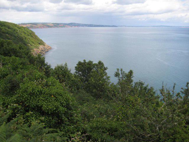 Photo could not load
SX9463 : View over Hope Cove and Brandy Cove
Philip Halling
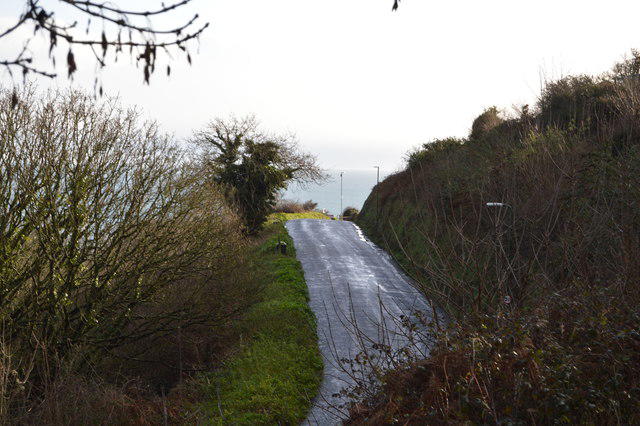 Photo could not load
SX9463 : Ilsham Marine Drive
N Chadwick
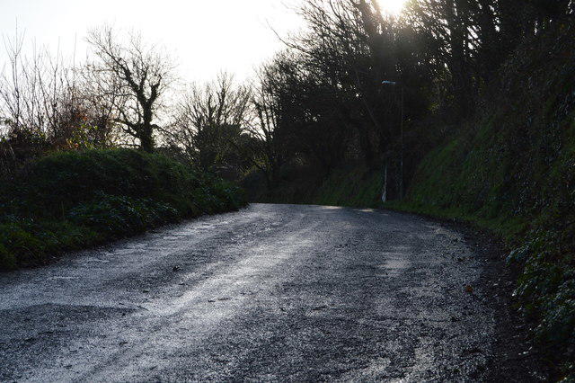 Photo could not load
SX9463 : Ilsham Marine Drive
N Chadwick
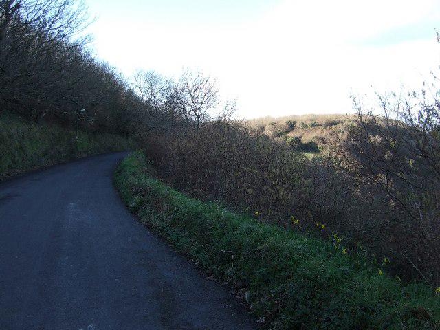 Photo could not load
SX9463 : Ilsham Marine Drive
David Smith
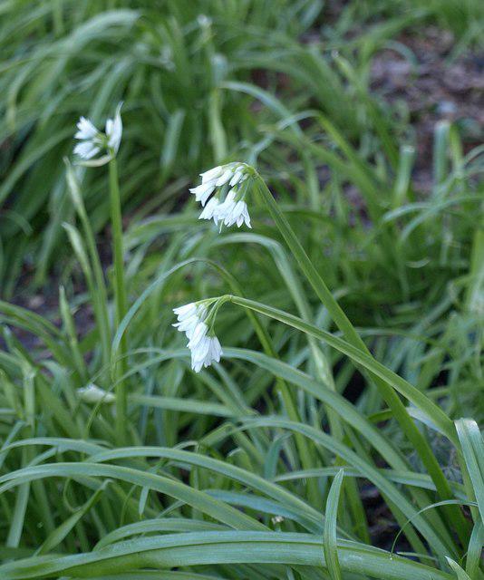 Photo could not load
SX9463 : Three-cornered leek, Ilsham Marine Drive
Derek Harper
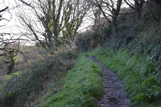 Photo could not load
SX9463 : South West Coast Path
N Chadwick
Hill facts and local notes
Classifications
Elevation
108m
354 ft
Prominence
59m
Coordinates
50.4626, -3.4920
SX942636
OS Map
202
Explorer: OL44 110
At the Summit
The summit is adorned with a well-maintained trig point that offers a perfect spot for photos and, if you're lucky, the occasional seagull looking to photobomb your selfie.
Terrain & Geology
Hope's Nose Hill is primarily composed of limestone, which is rich in marine fossils, revealing its ancient marine origins. The dramatic cliffs are a feature of this geology, attracting geology enthusiasts and climbers alike.
Views & Scenery
From the summit, you can see the English Channel, along with the distant hills of Dartmoor and the coastline stretching towards Torquay.
History & Heritage
Name Origin
The name 'Hope's Nose' is thought to refer to the old term 'hope' meaning a small bay or inlet, aptly describing the geographical features of the area.
Historical Significance
Historically a lookout point, Hope's Nose has maritime significance, having been a navigation point for sailors traversing the Channel.
Getting There & Facilities
Parking
There is a small parking area near Hope's Nose, but it can fill up quickly during peak times. Arrive early to secure a spot.
Public Transport
The nearest bus services from Torquay operate regularly and stop near the coast, but check the current timetables.
Nearby Facilities
There are several cafés and pubs in Torquay where you can grab a bite to eat or use the facilities before or after your hike.
Safety Information
Known Hazards
- Cliffs along the coastal paths can be steep and crumbly. Watch your footing, especially if the ground is wet. Also, be wary of sudden weather changes.
General Safety Tips
- Check weather conditions before setting out
- Carry appropriate clothing and equipment
- Let someone know your planned route
- Take a map, compass, and GPS device
- Carry emergency supplies: food, water, first aid kit, torch
Hills
Some common questions about the hills answered
Are there group walks up Hope's Nose Hill?
Many walkers use Walkmates to join or organise walks with others. You can check for group walks around Hope's Nose Hill through the maps
Are there other walkers around Hope's Nose Hill?
Activity varies by location and time, but Walkmates lets you see whether others have shared walks or shown interest in this area. Find other people through the walking friends search walking friends for Hope's Nose Hill search or of course create your own walk for Hope's Nose Hill
Can I organise a walk to Hope's Nose Hill?
Yes. If there aren’t any walks listed already, you can create a walk and make it available for others to join.
If you're signed up to Walkmates, you can create a walk to Hope's Nose Hill.
How do I find a walk up this hill?
There are often multiple ways to walk this hill, depending on experience and route preference. Walkmates helps you explore walks and routes that others have shared.
Can I suggest a new route up Hope's Nose Hill?
Yes. You can suggest or create routes to share with others. Walkmates focuses on the social side of walking, so routes are used to help people organise walks and explore areas together, rather than as detailed navigation tools or route libraries.
Other uses really appreciate knowledgeable walkers sharing their routes. Share your favourite route to Hope's Nose Hill here
The is an error or something incorrect about this hill. How do I let you know?
We always strive to keep the information on Walkmates as accurate as possible. If you find an error, please let us know through the contact form and we'll aim to correct it as quickly as possible
Community Discussion
Comments
Location
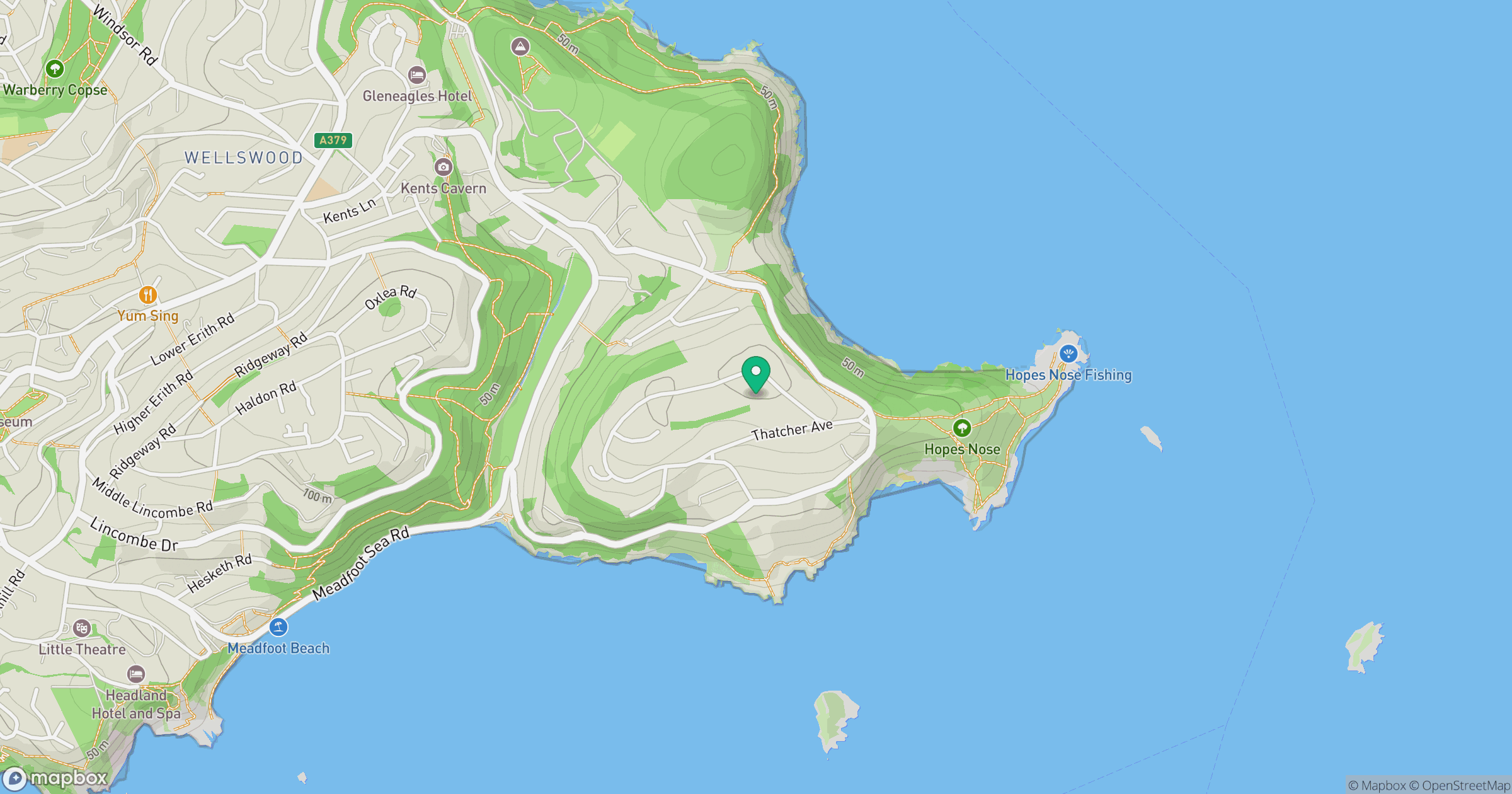
Grid reference: SX942636
View on OpenStreetMapOpens a map in a new tab, centred on the hill.



No comments yet. Be the first.