

Hod Hill
Good walks are even better shared.
ST8510 : Hanford: on Hod Hill’s lower rampart
Chris Downer Photo source
Overview
Hod Hill
Nestled in the beautiful Dorset countryside, Hod Hill stands proudly as a historical gem, beckoning hikers and history buffs alike. Rising to 200 meters, this Hewitt offers not just exercise for your legs, but also a workout for your imagination.
Geology
The hill is primarily composed of clay and chalk, with flinty outcrops that add a unique texture and character to the landscape. The fortifications at Hod Hill illustrate how ancient people interacted with their environment, making use of local materials to create a stronghold that has withstood the test of time.
Access
Getting to Hod Hill is a breeze. A small car park awaits those keen to explore, located just off the A354 at ST855107. If your trusty steed is more of the two-wheeled variety, local buses can get you to Blandford Forum, offering further connections to the hill's base. Remember, no one likes a roadblock—so keep the gate clear!
Summit Features
At the top, you’ll find the remnants of a prehistoric hillfort, encapsulated by impressive earthworks. These ancient ramparts are perfect for playfully posing for photos, just don’t trip over the history!
Routes
The most popular route is the Hod Hill Circular Walk, a 4.5 km circuit that allows you to savour the scenic beauty without feeling like you’re on a never-ending treadmill. Expect a moderate difficulty level—perfect for a sunny Saturday walk with friends or family.
Views
Once you've puffed your way to the summit, you'll be rewarded with sweeping vistas of the Blackmore Vale. Best viewed during spring or autumn when colours dance in harmony with the view.
Hazards
As with any outdoor venture, keep an eye out for uneven footing and monitor the skies—fickle weather can turn even the sunniest day into an adventure of Biblical proportions!
Nearby Summits
Hod Hill is in good company, with Cattistock Hill nearby, offering further hiking opportunities without too much backtracking.
Facilities
Post-hike, reward yourself at one of the charming cafes in Blandford Forum, or take advantage of local toilets—because, after that hike, you’ll deserve a proper pit stop.
History
The name 'Hod' speaks to its origins, with roots in Old English—a fitting title for such a storied hill. The fort itself has historical significance, dating back to the Iron Age and linking us to a fascinating past—where battles were fought, and stories were made.
In summary, Hod Hill is not just a hike; it's a journey through time and nature. So don those walking shoes, grab a map, and let the adventure begin!
Explore routes near Hod Hill
Walks starting near this hill. Open a route to check its map, distance and full itinerary.
Sturminster Newton, Cutt Mill and Stalbridge Lane
View route
Badbury Rings and The Oaks from Heron Drove, Dorset
View route
Hardy's Cottage, Stinsford and Dorchester from Thorncombe Wood
View route
Dorchester Walk with Men Walking & Talking
View route
Route planning notes
These notes describe possible approaches. Check a route's map and access information when planning your walk.
Hod Hill Circular Walk
A scenic loop starting at the car park, offering a mix of woodland and grassy paths, leading up to the summit and back.
Make a day of it, together
Find someone to share the walk with, or organise a day out along a route you like.
Photo Gallery
View all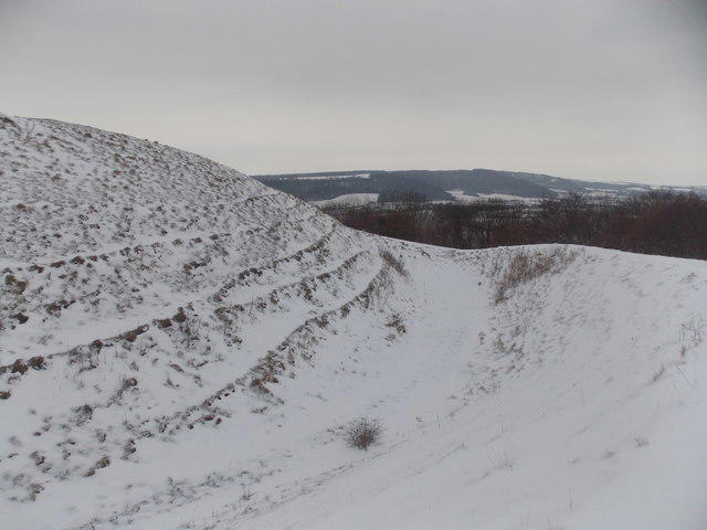 Photo could not load
ST8510 : Hanford: on Hod Hill’s lower rampart
Chris Downer
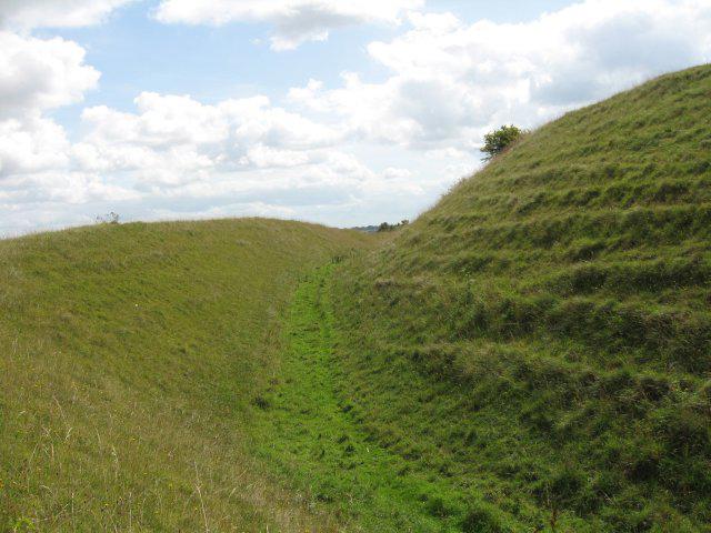 Photo could not load
ST8510 : Ramparts and ditch, Hod Hill
John Palmer
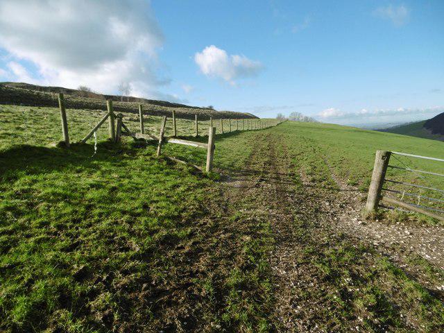 Photo could not load
ST8510 : Hod Hill, gate
Mike Faherty
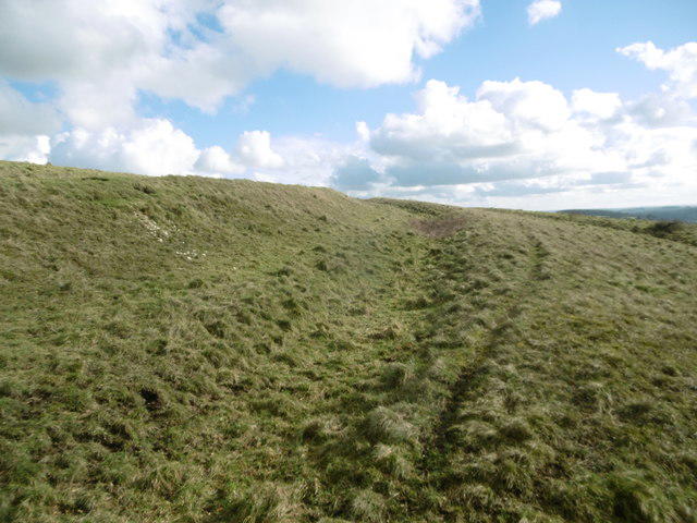 Photo could not load
ST8510 : Hod Hill, Roman ditch
Mike Faherty
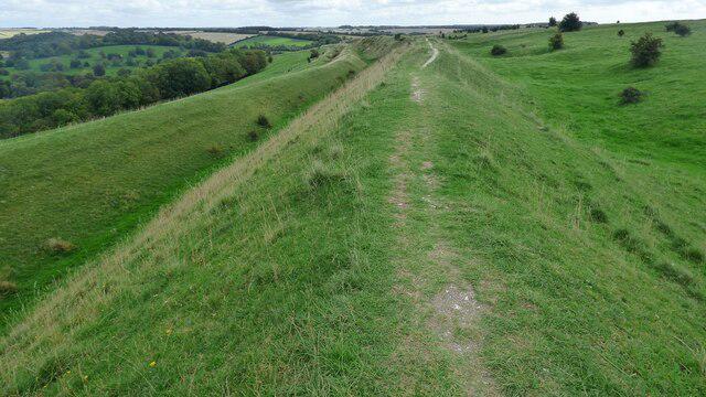 Photo could not load
ST8510 : Hod Hill Iron Age hillfort
Sandy Gerrard
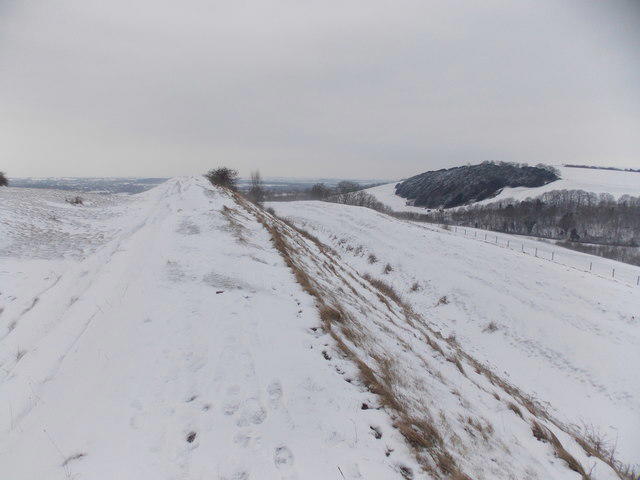 Photo could not load
ST8510 : Stourpaine: Hod Hill ramparts and a view to Yew Wood
Chris Downer
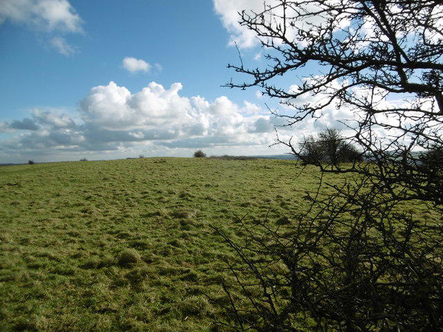 Photo could not load
ST8510 : Hod Hill, site of Roman fort
Mike Faherty
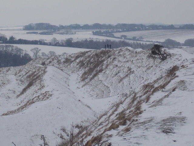 Photo could not load
ST8510 : Stourpaine: the northern ramparts of Hod Hill
Chris Downer
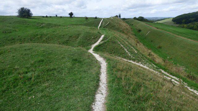 Photo could not load
ST8510 : Roman fort and hillfort at Hod Hill
Sandy Gerrard
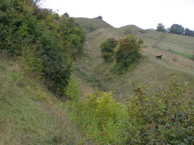
ST8510 : Northern side of the hillfort on Hod Hill
Jim Champion
Hill facts and local notes
Classifications
Elevation
143m
469 ft
Prominence
76m
Coordinates
50.8962, -2.2072
ST855107
OS Map
194
Explorer: 118N
At the Summit
The summit is marked by an impressive ancient hillfort with remnants of ramparts and ditches, providing a glimpse into its storied past.
Terrain & Geology
Hod Hill consists mainly of clay, chalk, and flint, with striking earthworks that showcase its historical significance as a hillfort. The underlying geology contributes to the formation of unique soil types which support diverse flora.
Views & Scenery
From the summit, you can catch a glimpse of the picturesque Blackmore Vale and, on a clear day, even spot the gleaming rooftops of the nearby towns.
History & Heritage
Name Origin
The name 'Hod' is derived from Old English, meaning a 'hill' or 'mound', aptly describing its prominent geographical feature.
Historical Significance
The hillfort dates back to the Iron Age, used for defence by the local population and offers insight into ancient British life.
Getting There & Facilities
Parking
There is a small car park off the A354 at ST855107, suitable for several vehicles. Ensure not to block any gates.
Public Transport
Frequent buses run to Blandford Forum from Poole and Wimborne, with connections to the A354.
Nearby Facilities
Nearby Blandford Forum boasts cafes, pubs, and public toilets, perfect for a post-hike refreshment or comfort break.
Safety Information
Known Hazards
- Watch for uneven terrain, especially near the hillfort. Weather can change rapidly in the hills, so be prepared with appropriate gear.
General Safety Tips
- Check weather conditions before setting out
- Carry appropriate clothing and equipment
- Let someone know your planned route
- Take a map, compass, and GPS device
- Carry emergency supplies: food, water, first aid kit, torch
Hills
Some common questions about the hills answered
Are there group walks up Hod Hill?
Many walkers use Walkmates to join or organise walks with others. You can check for group walks around Hod Hill through the maps
Are there other walkers around Hod Hill?
Activity varies by location and time, but Walkmates lets you see whether others have shared walks or shown interest in this area. Find other people through the walking friends search walking friends for Hod Hill search or of course create your own walk for Hod Hill
Can I organise a walk to Hod Hill?
Yes. If there aren’t any walks listed already, you can create a walk and make it available for others to join.
If you're signed up to Walkmates, you can create a walk to Hod Hill.
How do I find a walk up this hill?
There are often multiple ways to walk this hill, depending on experience and route preference. Walkmates helps you explore walks and routes that others have shared.
Can I suggest a new route up Hod Hill?
Yes. You can suggest or create routes to share with others. Walkmates focuses on the social side of walking, so routes are used to help people organise walks and explore areas together, rather than as detailed navigation tools or route libraries.
Other uses really appreciate knowledgeable walkers sharing their routes. Share your favourite route to Hod Hill here
The is an error or something incorrect about this hill. How do I let you know?
We always strive to keep the information on Walkmates as accurate as possible. If you find an error, please let us know through the contact form and we'll aim to correct it as quickly as possible
Community Discussion
Comments
Location
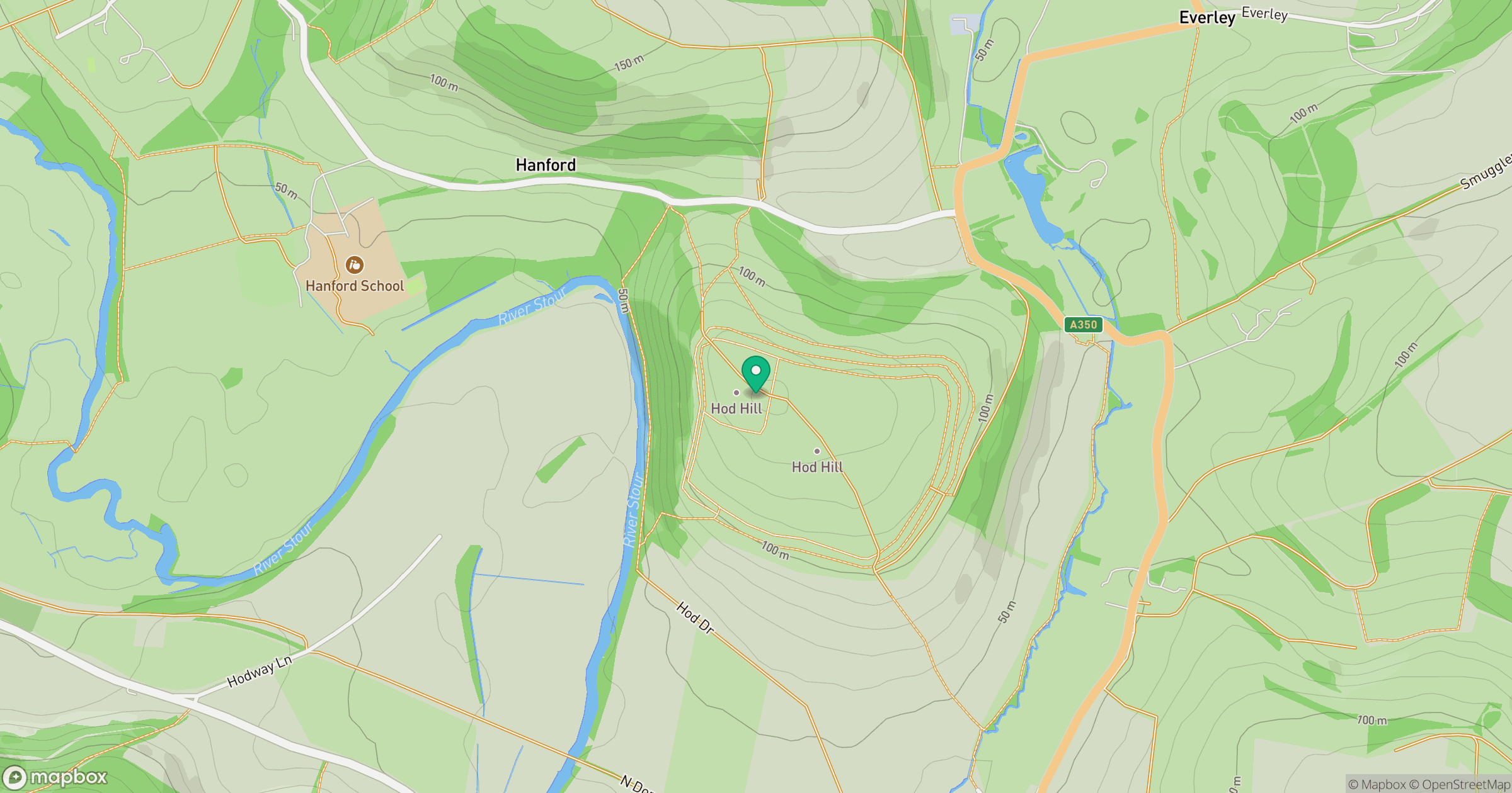
Grid reference: ST855107
View on OpenStreetMapOpens a map in a new tab, centred on the hill.


No comments yet. Be the first.