

Chinley Churn
Good walks are even better shared.
SK0384 : On Cracken Edge
Neil Theasby Photo source
Overview
Chinley Churn
Chinley Churn, standing proudly at 515 meters, is a Marilyn in the enchanting Peak District National Park. Its elevation and prominence may not make it the tallest, but it offers accessible thrills for hikers of all stripes.
Geology
Composed of sturdy gritstone, Chinley Churn is characterised by rock formations that are as old as time itself—perfect for geology enthusiasts looking to impress their friends with rock types during a picnic. Don’t be surprised if you find a few fossils while you’re at it!
Access
Getting to Chinley Churn is a breeze. Nestled in the charming village of Chinley, there’s roadside parking aplenty, but do watch for the parking signs—nobody wants a cheeky parking ticket disturbing a peaceful hike! If you fancy using public transport, the train’s your best bet. Regular services from Manchester and Sheffield drop you right at Chinley—perfect for a quick getaway into the hills!
Routes
There are several routes leading to this delightful hill. The Chinley Churn Circular Walk covers 6.5 km, taking about 2.5 hours at a moderate pace and is perfect for a relaxed leg stretch. For something a bit spicier, the walk from Eccles Pike is a 4.0 km jaunt that could quicken your heart rate a little—ideal for those who like a bit of a challenge with their views!
Summit Features
Once you reach the top, revel in the sight of a stone cairn, the hallmark of many a British peak. The views on a clear day are nothing short of breathtaking—ideal for that Instagram snap. With Kinder Scout looming magnificently nearby and Chinley village sprawled below, you’ll definitely want to have your camera at the ready!
Hazards
As lovely as Chinley Churn is, keep your wits about you. The terrain can become a bit slippery when wet, and fog can turn the landscape into something akin to a mystery novel—so unless you’re equipped with a detective’s hat, it’s best to avoid getting lost in the mist!
Facilities
No one likes to hike on an empty stomach! Chinley boasts a selection of quaint cafes ready to fuel your adventures. Plus, toilets are readily available in local facilities, making your outdoor experience that much more pleasant.
Conclusion
So there you have it! Whether you’re a seasoned hiker or a casual wanderer, Chinley Churn welcomes all with open arms (and stunning views). Lace up those boots and let the adventure begin!
Explore routes near Chinley Churn
Walks starting near this hill. Open a route to check its map, distance and full itinerary.
Mill Hill Liberator Wreckage via Harry Hut
View route
Edale and Castleton circuit
View route
Edale and Castleton circuit
View route
Edale and Castleton circuit
View route
Route planning notes
These notes describe possible approaches. Check a route's map and access information when planning your walk.
Chinley Churn Circular Walk
A scenic circular route starting from the village of Chinley, offering a mixture of woodland and open moorland.
Walk from Eccles Pike
This route from Eccles Pike offers a slightly more challenging ascent with stunning views along the way.
Make a day of it, together
Find someone to share the walk with, or organise a day out along a route you like.
Photo Gallery
View all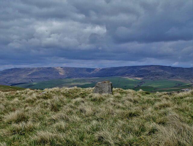 Photo could not load
SK0384 : On Cracken Edge
Neil Theasby
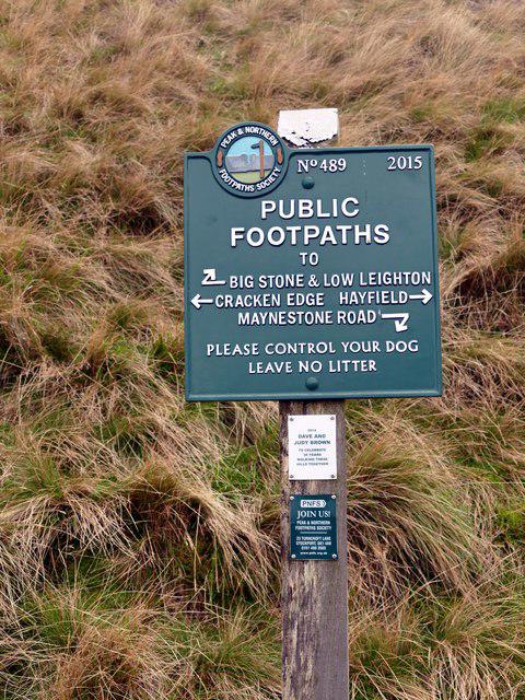 Photo could not load
SK0384 : Peak & Northern Footpaths Society sign #489
Graham Hogg
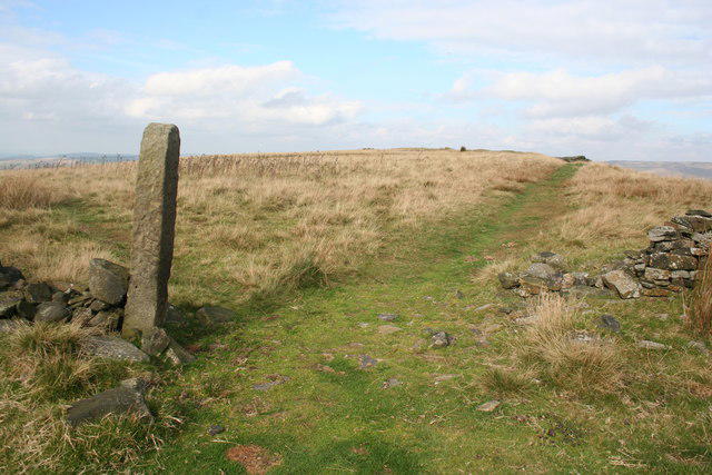 Photo could not load
SK0384 : Top of Cracken Edge
Dave Dunford
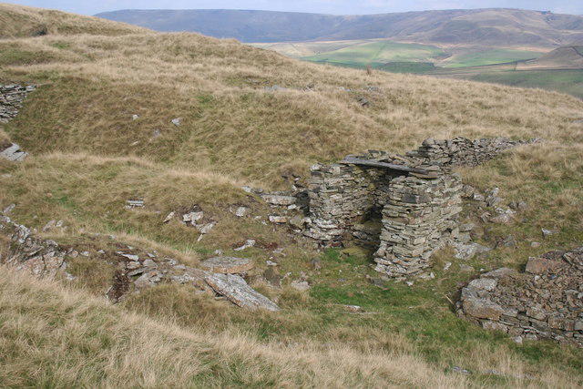 Photo could not load
SK0384 : Quarrymen's hut on Cracken Edge
Dave Dunford
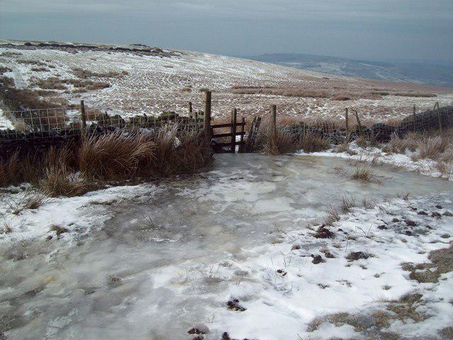 Photo could not load
SK0384 : Thick Ice near New Allotments
Jonathan Clitheroe
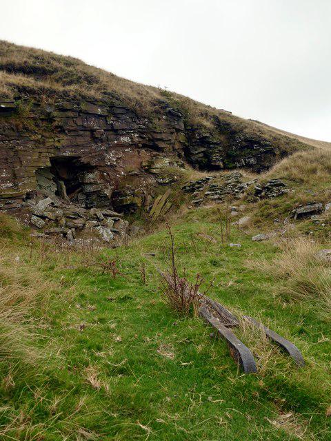 Photo could not load
SK0384 : Abandoned stone quarry and mine on Cracken Edge
Graham Hogg
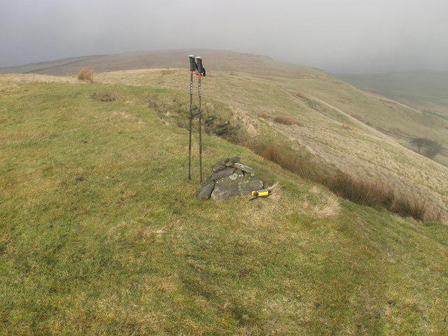 Photo could not load
SK0384 : Chinley Churn
Rude Health
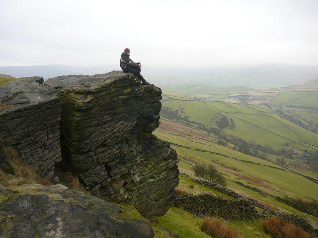 Photo could not load
SK0384 : Crags north of Cracken Edge, Chinley Churn
Colin Park
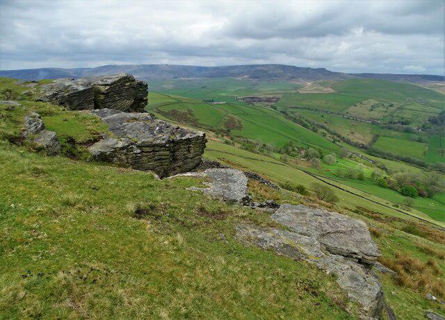 Photo could not load
SK0384 : Outcrop above Brierlyfields
Neil Theasby
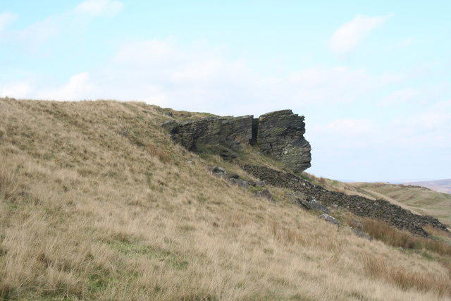 Photo could not load
SK0384 : Big Stone, a gritstone outcrop on Cracken Edge
Dave Dunford
Hill facts and local notes
Classifications
Elevation
457m
1,499 ft
Prominence
127m
Coordinates
53.3562, -1.9460
SK036843
OS Map
110
Explorer: OL1W
At the Summit
The summit features a large stone cairn with stunning views of the surrounding Peak District, including nearby hills and valleys.
Terrain & Geology
Chinley Churn consists primarily of gritstone, which is prevalent in the Peak District. The rocky outcrops offer excellent hiking terrain and fascinating geological features.
Views & Scenery
From the summit, you can see the striking landscape of the Peak District, including the slopes of Kinder Scout and the quaint village of Chinley.
History & Heritage
Name Origin
The name 'Chinley' is derived from the Old English 'Cyning' meaning 'king' and 'leah' for a clearing. Thus, a 'clearing of the king'.
Historical Significance
Chinley Churn is an important landmark in the Peak District, frequented by hikers and climbers, and is a part of local folklore.
Getting There & Facilities
Parking
Chinley village has several roadside parking spots. Be mindful of local parking regulations.
Public Transport
Frequent train services run to Chinley from Manchester and Sheffield. Check the latest timetables.
Nearby Facilities
There are cafes and shops in Chinley village, with toilets available in nearby facilities.
Safety Information
Known Hazards
- Watch for occasional loose stones and wet patches, especially after rain. Low visibility in fog can be risky.
General Safety Tips
- Check weather conditions before setting out
- Carry appropriate clothing and equipment
- Let someone know your planned route
- Take a map, compass, and GPS device
- Carry emergency supplies: food, water, first aid kit, torch
Hills
Some common questions about the hills answered
Are there group walks up Chinley Churn?
Many walkers use Walkmates to join or organise walks with others. You can check for group walks around Chinley Churn through the maps
Are there other walkers around Chinley Churn?
Activity varies by location and time, but Walkmates lets you see whether others have shared walks or shown interest in this area. Find other people through the walking friends search walking friends for Chinley Churn search or of course create your own walk for Chinley Churn
Can I organise a walk to Chinley Churn?
Yes. If there aren’t any walks listed already, you can create a walk and make it available for others to join.
If you're signed up to Walkmates, you can create a walk to Chinley Churn.
How do I find a walk up this hill?
There are often multiple ways to walk this hill, depending on experience and route preference. Walkmates helps you explore walks and routes that others have shared.
Can I suggest a new route up Chinley Churn?
Yes. You can suggest or create routes to share with others. Walkmates focuses on the social side of walking, so routes are used to help people organise walks and explore areas together, rather than as detailed navigation tools or route libraries.
Other uses really appreciate knowledgeable walkers sharing their routes. Share your favourite route to Chinley Churn here
The is an error or something incorrect about this hill. How do I let you know?
We always strive to keep the information on Walkmates as accurate as possible. If you find an error, please let us know through the contact form and we'll aim to correct it as quickly as possible
Community Discussion
Comments
Location
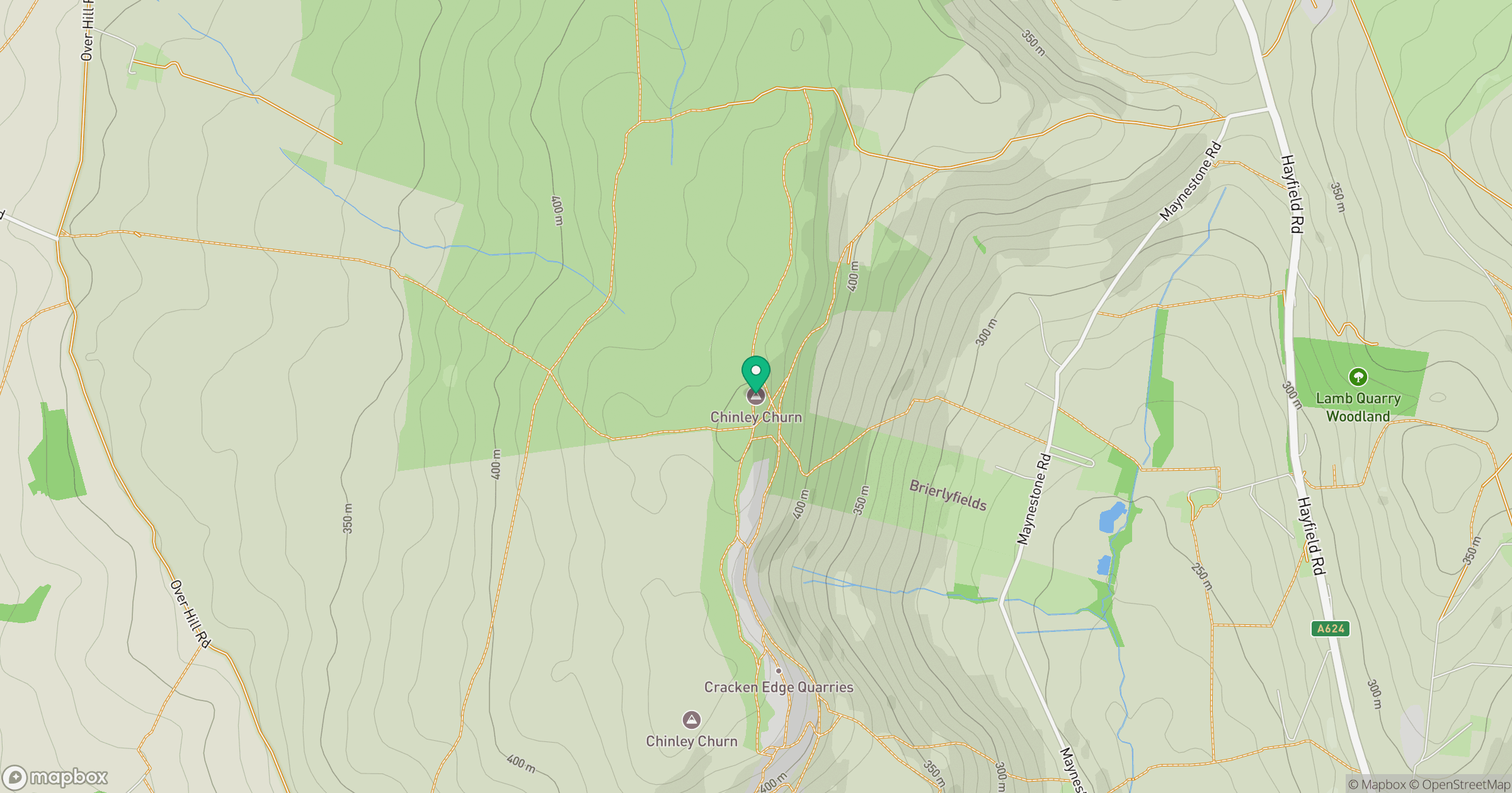
Grid reference: SK036843
View on OpenStreetMapOpens a map in a new tab, centred on the hill.
Nearby Hills

Kinder Scout
636m
The Roaches
505m
Rombalds Moor [Ilkley Moor]
402m

Pendle Hill
557m
Winter Hill
456m
No comments yet. Be the first.