

Fountains Fell
Good walks are even better shared.
SD8671 : Fountains Fell
Kevin Waterhouse Photo source
Overview
Fountains Fell: A Yorkshire Gem
Nestled in the stunning Yorkshire Dales, Fountains Fell stands as a proud Marilyn, reaching an elevation of 669 meters. Whether you're a seasoned hiker or just looking to stretch your legs, this mountain provides a spectacular playground for outdoor enthusiasts.
Geology
Fountains Fell is a real geological treat. The mountain is primarily composed of limestone and gritstone dating back to the Carboniferous period. The unique rocks create a beautifully varied landscape that's also home to a rich array of flora and fauna. Keep an eye out—you might just spot a rare plant or two!
Routes
The Fountains Fell Circular Walk is a popular choice, covering approximately 8.9 km and taking around 3.5 hours. It's the perfect balance of challenge and enjoyment, allowing hikers to soak in the stunning views without feeling like they’re on a never-ending slog.
Summit Features
Upon reaching the summit, you'll find a large stone cairn and a trig point, marking your achievement—perfect for those ‘I made it’ selfies! The expansive views are a reward in themselves, so stick around and take it all in.
Terrain
Expect a mix of rugged and grassy terrain, with a few rocky sections. Parts of the trail can be a bit boggy if there’s been recent rain, so wear your best waterproof boots and be prepared for a splash or two.
Views
From the summit, grab a panoramic view of nearby giants like Pen-y-ghent and Ingleborough that are just waiting for you to challenge them next. Late spring or early autumn is the best time to take in these vistas, with the landscape awash in vibrant colours and clear skies.
Hazards
Don't let the charming scenery fool you! Weather can change at the drop of a hat; always be prepared for a sudden downpour. Also, watch your footing in boggy areas—no one enjoys squelching through mud.
Nearby Summits
- Pen-y-ghent (694 meters)
- Ingleborough (723 meters)
Access
The closest parking is at Halton Gill; it’s small but delightful! If you're coming via public transport, check schedules for buses from Settle—things can get a bit tricky in off-peak seasons. Grassington is your nearest town for amenities, so stock up on snacks and drink before hitting the trail.
Facilities
After the hike, treat yourself to a café in Grassington. Some serve a cheeky slice of cake—or two. Just don’t forget to inquire about the toilet situation; luckily, most pubs and cafés will have facilities for visitors.
History
The name Fountains has a charming origin; it points towards the abundance of springs in the area, while 'Fell' comes from Old Norse, meaning hill. The mountain's appeal has endured through the ages, drawing hikers keen for both exercise and the allure of the wild.
In summary, Fountains Fell is not just a climb but an experience. With its varied terrain, stunning views, and a touch of Yorkshire charm, it’s a hike that should be on every walker’s list. Whether you're chasing adventure or seeking serenity, this mountain has a little bit of everything. Get ready to get your boots on and make some memories!
Explore routes near Fountains Fell
Walks starting near this hill. Open a route to check its map, distance and full itinerary.
Yorkshire Three Peaks Challenge – Gentle Pace
View route
Yorkshire Three Peaks Challenge – Sub-12 Hour
View route
Yorkshire Three Peaks Challenge – Gentle Pace
View route
Yorkshire Three Peaks Challenge – Sub-12 Hour
View route
Route planning notes
These notes describe possible approaches. Check a route's map and access information when planning your walk.
Fountains Fell Circular Walk
A delightful circular route that provides an enjoyable mix of scenery, taking in breathtaking views and serene paths. Ideal for a full day's hike.
Make a day of it, together
Find someone to share the walk with, or organise a day out along a route you like.
Photo Gallery
View all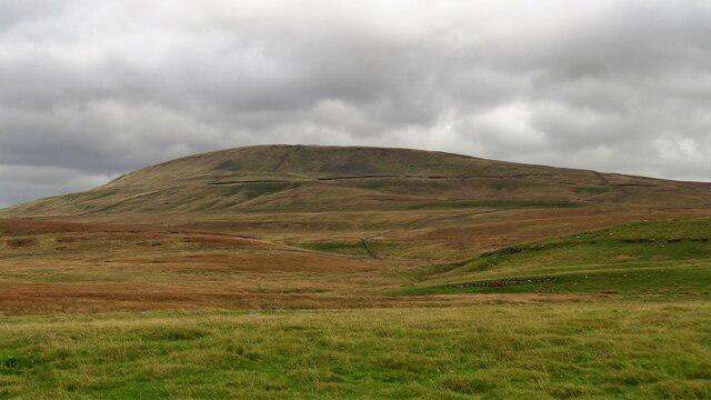 Photo could not load
SD8671 : Fountains Fell
Kevin Waterhouse
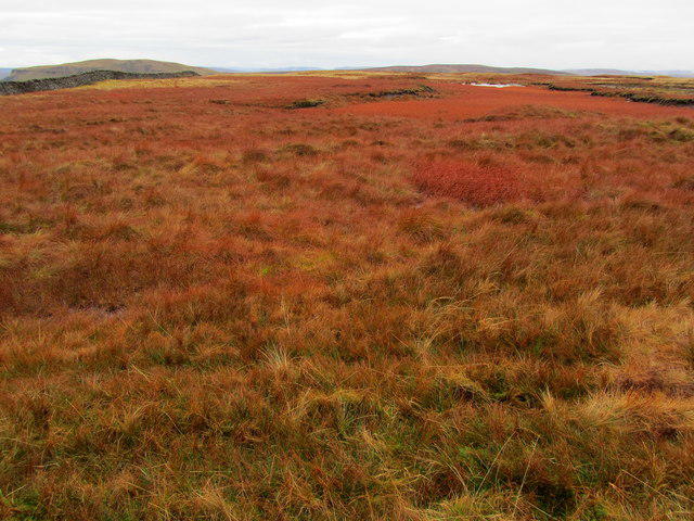 Photo could not load
SD8671 : Russet Vegetation on Fountains Fell
Chris Heaton
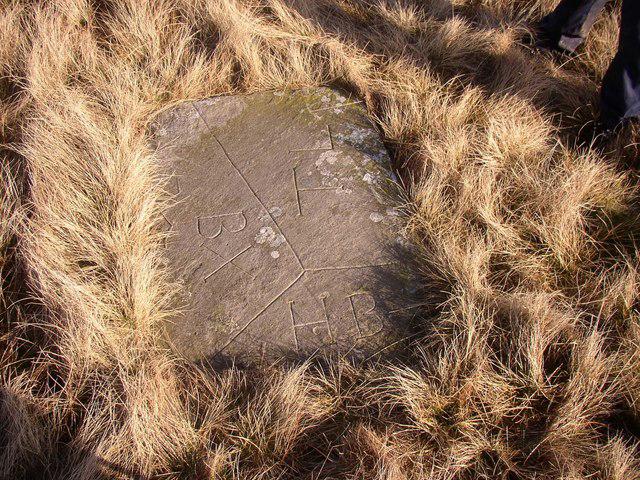 Photo could not load
SD8671 : Boundary Stone
Tom Knapp
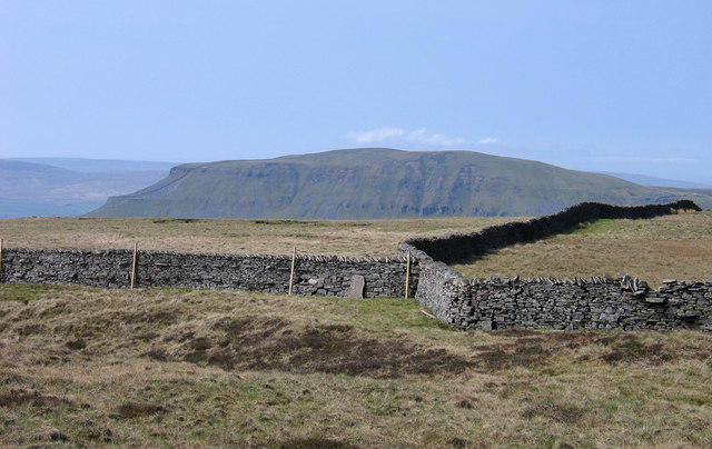 Photo could not load
SD8671 : Wall junction on Fountains Fell
Trevor Littlewood
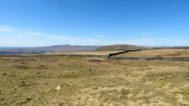 Photo could not load
SD8671 : Summit area Fountains Fell with view to Pen-y-ghent & Ingleborough
Richard Park
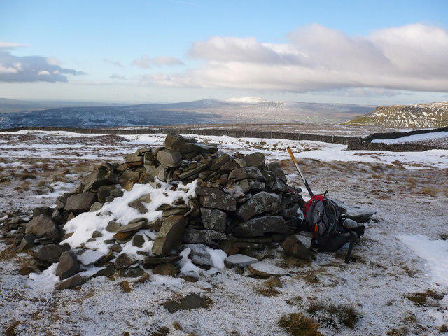 Photo could not load
SD8671 : Pile of stones on Fountains Fell
Phil Catterall
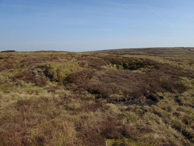 Photo could not load
SD8671 : Old Coal Mine
Matthew Hatton
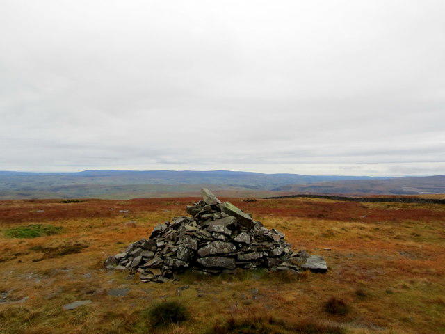 Photo could not load
SD8671 : Pile of Stones on Fountains Fell
Chris Heaton
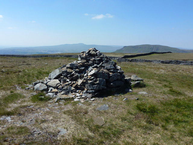 Photo could not load
SD8671 : Summit cairn (2192') on Fountains Fell
John H Darch
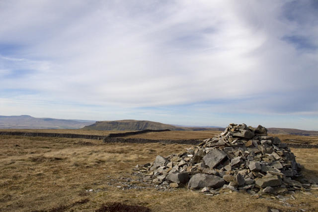 Photo could not load
SD8671 : Summit cairn on Fountains Fell
Tom Richardson
Hill facts and local notes
Classifications
Elevation
668m
2,191 ft
Prominence
243m
Coordinates
54.1399, -2.2094
SD864715
OS Map
98
Explorer: OL2S OL2W OL30S
At the Summit
The summit features a large stone cairn and a prominent trig point, ideal for that perfect Instagram shot, though a bit picture-perfect itself on a sunny day.
Terrain & Geology
Primarily composed of limestone and gritstone, Fountains Fell showcases a picturesque example of the Carboniferous period. The area's geology contributes to its rich biodiversity and striking landscapes.
Views & Scenery
From the summit, hikers can enjoy stunning views of Pen-y-ghent, Ingleborough, and the surrounding dales, all competing for your attention like kids in a sweet shop.
History & Heritage
Name Origin
The name 'Fountains' likely refers to the numerous springs found in the area, while 'Fell' is derived from the Old Norse word for hill.
Historical Significance
Fountains Fell has long been a prized location for local walkers and climbers, offering a blend of historical trails and natural beauty.
Getting There & Facilities
Parking
A small car park is located at the foot of the fell near the village of Halton Gill. It's not the biggest, so arrive early to nab a spot!
Public Transport
Regular buses from Settle operate to nearby villages, but check the latest timetables as services can be sparse in the off-season.
Nearby Facilities
Nearby facilities include a few quaint cafés in Grassington, with some offering take-away options for your post-hike treat. Toilets can be found in the local pubs and cafés.
Safety Information
Known Hazards
- Watch for changes in weather, as conditions can shift rapidly. Some sections may be boggy after rain, and the rocky terrain might challenge those with less experience.
General Safety Tips
- Check weather conditions before setting out
- Carry appropriate clothing and equipment
- Let someone know your planned route
- Take a map, compass, and GPS device
- Carry emergency supplies: food, water, first aid kit, torch
Hills
Some common questions about the hills answered
Are there group walks up Fountains Fell?
Many walkers use Walkmates to join or organise walks with others. You can check for group walks around Fountains Fell through the maps
Are there other walkers around Fountains Fell?
Activity varies by location and time, but Walkmates lets you see whether others have shared walks or shown interest in this area. Find other people through the walking friends search walking friends for Fountains Fell search or of course create your own walk for Fountains Fell
Can I organise a walk to Fountains Fell?
Yes. If there aren’t any walks listed already, you can create a walk and make it available for others to join.
If you're signed up to Walkmates, you can create a walk to Fountains Fell.
How do I find a walk up this hill?
There are often multiple ways to walk this hill, depending on experience and route preference. Walkmates helps you explore walks and routes that others have shared.
Can I suggest a new route up Fountains Fell?
Yes. You can suggest or create routes to share with others. Walkmates focuses on the social side of walking, so routes are used to help people organise walks and explore areas together, rather than as detailed navigation tools or route libraries.
Other uses really appreciate knowledgeable walkers sharing their routes. Share your favourite route to Fountains Fell here
The is an error or something incorrect about this hill. How do I let you know?
We always strive to keep the information on Walkmates as accurate as possible. If you find an error, please let us know through the contact form and we'll aim to correct it as quickly as possible
Community Discussion
Comments
Location
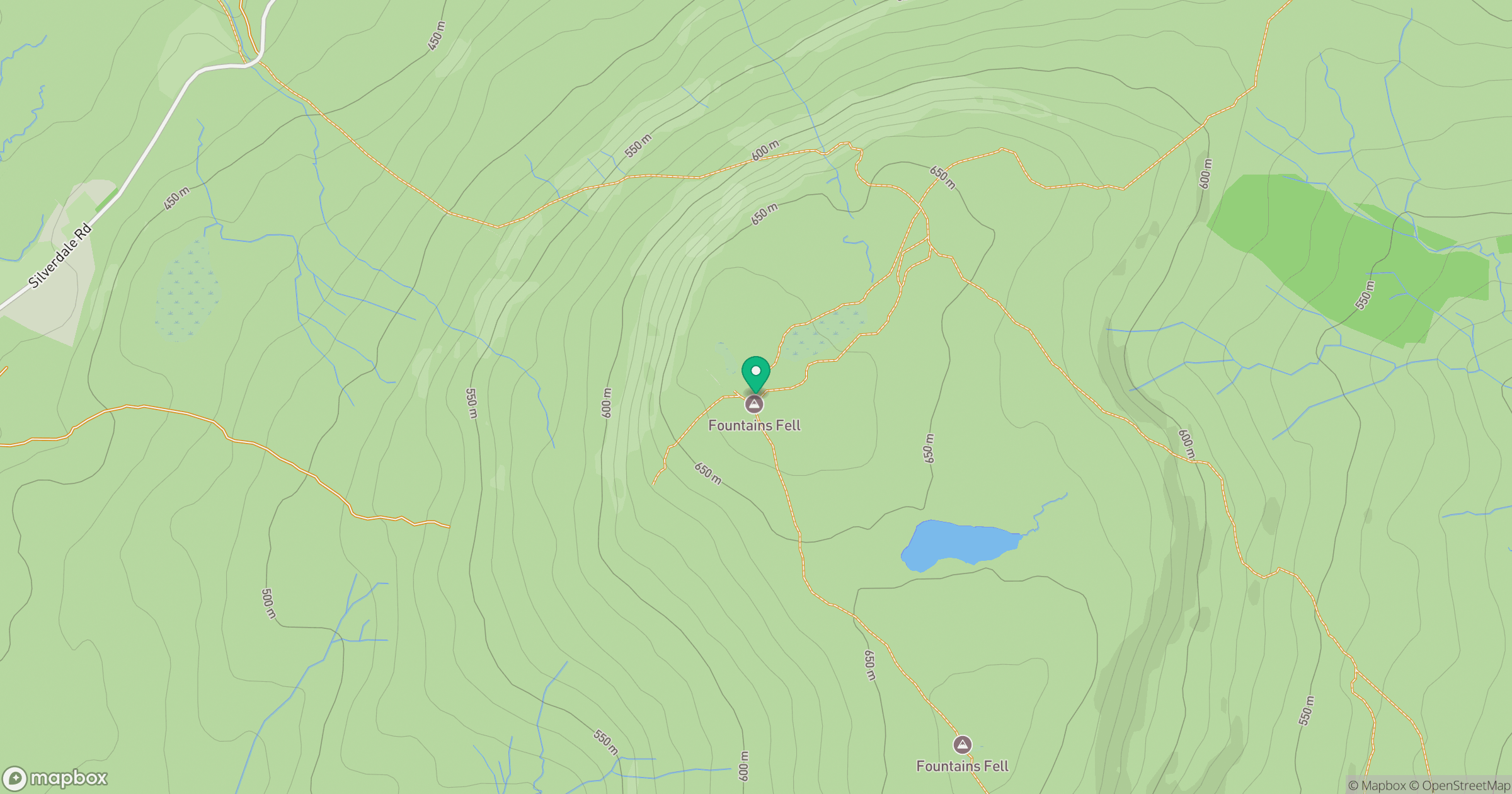
Grid reference: SD864715
View on OpenStreetMapOpens a map in a new tab, centred on the hill.




No comments yet. Be the first.