

Foel Fraith
Good walks are even better shared.
SN7518 : View towards the Black Mountain
Alan Hughes Photo source
Overview
Foel Fraith: A Hidden Gem in Snowdonia
Foel Fraith, standing proudly at 536 meters, beckons hikers with its unique character and rich heritage. As a Marilyn, it may not be the tallest peak in Wales, but its charm and beauty are undeniable.
Geology
The mountain's andesite composition tells tales of volcanic activity long ago. Foel Fraith’s rocky paths and grassy slopes were shaped by glaciers that carved through the terrain, leaving behind a spectacular landscape that’s both inviting and challenging.
Routes
- Llanuwchllyn Route: Begin your adventure in Llanuwchllyn and tread your way through picturesque valleys. Ideal for moderately experienced hikers seeking a lovely day trip.
- Bwlch Y Groes Loop: For those up for a challenge, this circular route ups the ante with steeper ascents and variable terrain, ensuring an exhilarating experience.
Summit Features
Upon reaching the summit, you’ll be greeted by a small stone cairn that serves as a perfect landmark and photo opportunity. It’s the perfect spot to catch your breath and admire the spectacular vistas all around.
Terrain and Hazards
Prepare for rocky outcrops and marshy areas—this is Wales after all! Proper rugged footwear is advised to handle both the sturdy and soggy bits. As with all climbing in mountainous terrain, always be cognizant of changing weather conditions.
Views
The summit provides breathtaking views, showcasing the Berwyn Mountains and Lake Bala, with Snowdon making a cameo on a clear day. Early spring and late autumn are the prime times for gardening—er, I mean, hiking!
Access
Parking is found at Llanuwchllyn, with some public transport links to Bala. No fancy shuttle services here—just enjoy a classic mountain journey!
Facilities
No facilities on the mountain, but Bala has your back with sumptuous cafés and all the essentials to refuel.
History
Foel Fraith’s name means 'Brindled Hill', possibly stemming from its varied hillside appearance. Its historical significance is underscored by ancient pathways and stone walls surrounding the area, hinting at a rich cultural tapestry.
So lace up those boots and traverse this stunning landscape where each step connects you to the past and present of this charming mountain. Foel Fraith awaits!
Explore routes near Foel Fraith
Walks starting near this hill. Open a route to check its map, distance and full itinerary.
Aircraft Crash Site - Wellington Bomber and Vampire Jet (Black Mountain range)
View route
Usk Reservoir: Glasfynydd Forest and Dam Circuit
View route
Ammanford Walk with Men Walking & Talking
View route
Swansea Canal: Coed Gwilym Park to Pontardawe Aqueduct
View route
Route planning notes
These notes describe possible approaches. Check a route's map and access information when planning your walk.
Llanuwchllyn Route
A scenic route starting from Llanuwchllyn, this path meanders through lush valleys before climbing the slopes of Foel Fraith.
Bwlch Y Groes Loop
This circular route offers a blend of ascent and descent, leading hikers through captivating landscapes and giving a taste of the surrounding wilderness.
Make a day of it, together
Find someone to share the walk with, or organise a day out along a route you like.
Photo Gallery
View all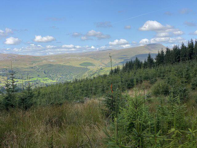 Photo could not load
SN7518 : View towards the Black Mountain
Alan Hughes
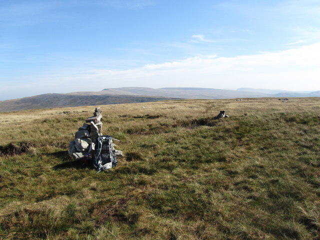 Photo could not load
SN7518 : Dewey bagging
John Horner
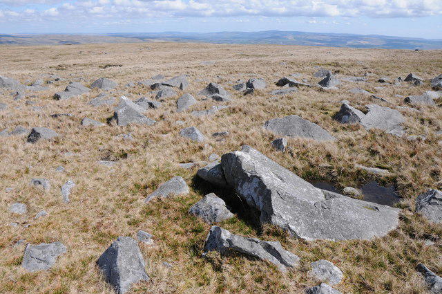 Photo could not load
SN7518 : View from Foel Fraith
Philip Halling
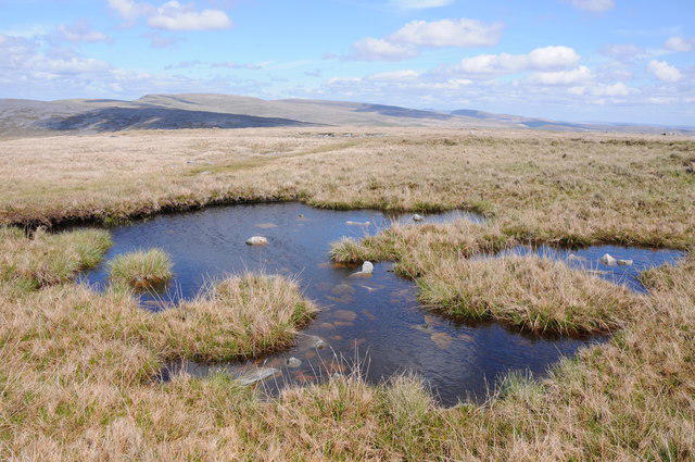 Photo could not load
SN7518 : Pool on Foel Fraith
Philip Halling
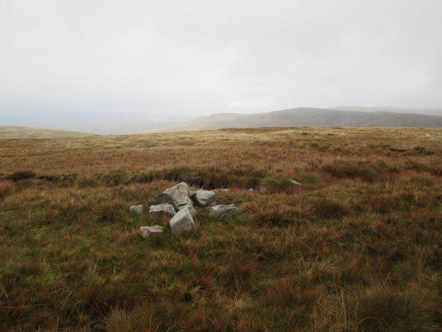 Photo could not load
SN7518 : Top of Foel Fraith
Adrian Dust
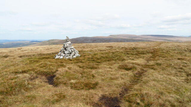 Photo could not load
SN7518 : Cairn on Foel Fraith
Colin Park
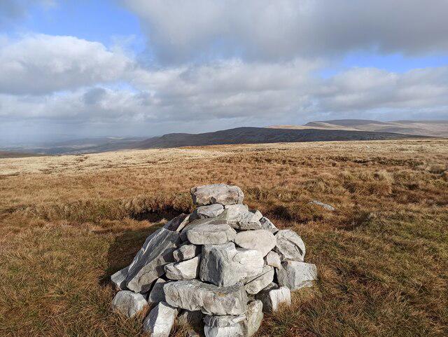 Photo could not load
SN7518 : Foel Fraith peak
Dani
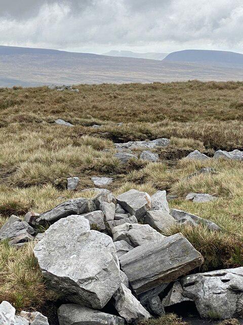 Photo could not load
SN7518 : Foel Fraith summit
Alan Hughes
Hill facts and local notes
Classifications
Elevation
602m
1,975 ft
Prominence
75m
Coordinates
51.8495, -3.8063
SN756183
OS Map
160
Explorer: OL12W
At the Summit
The summit is crowned by a small stone cairn, offering a spot for weary hikers to catch their breath and take in the views. There’s also a small inscribed stone that boasts the height of the peak—just in case you need validation for your climb!
Terrain & Geology
Foel Fraith is primarily composed of volcanic rock, specifically andesite, which is indicative of the area's fiery geological past. Its rugged terrain was sculpted during the last Ice Age, leaving behind unique formations and deep valleys.
Views & Scenery
From the summit, hikers can enjoy panoramic views of the Berwyn Mountains to the east and Lake Bala to the south. On a clear day, you might even spot Snowdon itself in the distance—it's like a mountain reunion up there!
History & Heritage
Name Origin
The name 'Foel Fraith' roughly translates to 'Brindled Hill' in English, possibly referring to its patchy appearance as viewed from a distance.
Historical Significance
The area around Foel Fraith is steeped in history, with remnants of ancient stone walls and possible historical pathways indicating its long-standing presence in local culture.
Getting There & Facilities
Parking
The nearest parking can be found at Llanuwchllyn, with a small car park available for day walkers. Spaces can fill up quickly on sunny weekends, so arrive early!
Public Transport
Buses run from nearby towns like Bala, though services may be limited. Check local schedules to avoid being stuck waiting in the mountain air.
Nearby Facilities
There are no facilities directly on Foel Fraith, but nearby Bala offers a variety of places to eat, drink, and restock your supplies. Public toilets can be found in Bala as well.
Safety Information
Known Hazards
- Muddy trails can be deceptive; wear proper footwear. Be mindful of steep drops, especially in poor weather conditions. Also, watch out for sudden weather changes typical of mountain areas.
General Safety Tips
- Check weather conditions before setting out
- Carry appropriate clothing and equipment
- Let someone know your planned route
- Take a map, compass, and GPS device
- Carry emergency supplies: food, water, first aid kit, torch
Hills
Some common questions about the hills answered
Are there group walks up Foel Fraith?
Many walkers use Walkmates to join or organise walks with others. You can check for group walks around Foel Fraith through the maps
Are there other walkers around Foel Fraith?
Activity varies by location and time, but Walkmates lets you see whether others have shared walks or shown interest in this area. Find other people through the walking friends search walking friends for Foel Fraith search or of course create your own walk for Foel Fraith
Can I organise a walk to Foel Fraith?
Yes. If there aren’t any walks listed already, you can create a walk and make it available for others to join.
If you're signed up to Walkmates, you can create a walk to Foel Fraith.
How do I find a walk up this hill?
There are often multiple ways to walk this hill, depending on experience and route preference. Walkmates helps you explore walks and routes that others have shared.
Can I suggest a new route up Foel Fraith?
Yes. You can suggest or create routes to share with others. Walkmates focuses on the social side of walking, so routes are used to help people organise walks and explore areas together, rather than as detailed navigation tools or route libraries.
Other uses really appreciate knowledgeable walkers sharing their routes. Share your favourite route to Foel Fraith here
The is an error or something incorrect about this hill. How do I let you know?
We always strive to keep the information on Walkmates as accurate as possible. If you find an error, please let us know through the contact form and we'll aim to correct it as quickly as possible
Community Discussion
Comments
Location
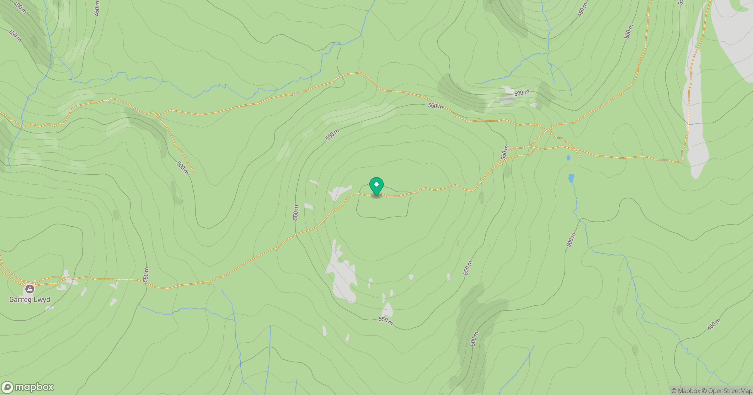
Grid reference: SN756183
View on OpenStreetMapOpens a map in a new tab, centred on the hill.


No comments yet. Be the first.