

Dumpdon Hill
Good walks are even better shared.
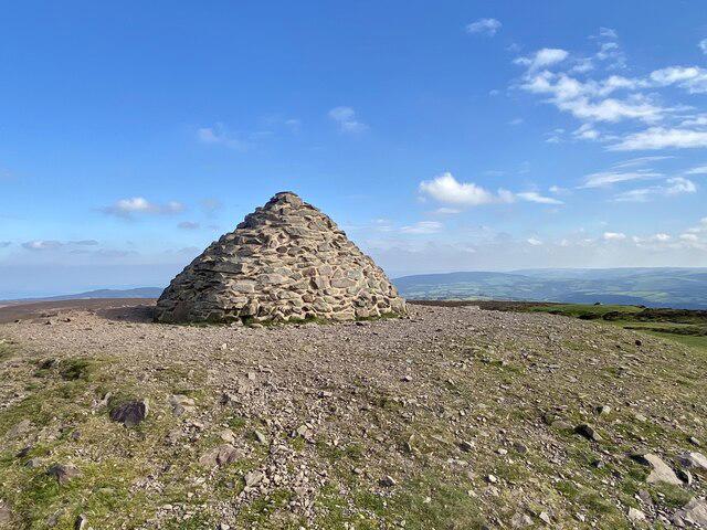
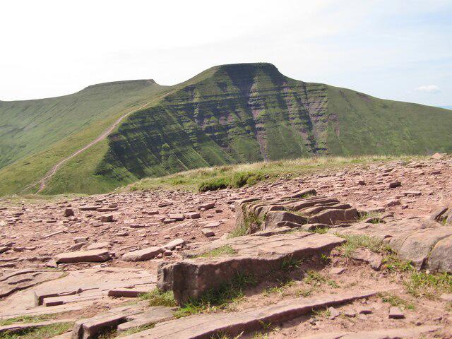
ST1704 : On Dumpdon Hill
Derek Harper Photo source
Overview
Dumpdon Hill
Dumpdon Hill, standing proudly at 528 meters, is a Marilyn and the perfect destination for hikers seeking a mix of history, geology, and stunning views in the heart of Exmoor National Park.
Geology
The geology of Dumpdon Hill tells an ancient story. Formed from Devonian sandstone, the layers visible on the hill testify to a time when this area was submerged underwater. Be sure to check out the rock formations while you trek; they might just rock your socks off!
Routes
One of the most popular routes is from Tithe Barn. This moderate trek spans approximately 4 km and typically takes about 1.5 hours. The path winds through scenic farmland and woodland, gradually climbing to the summit. Remember, take a breather to admire nature’s work – it’s not just the hill you’re climbing!
Summit Features
At the peak, you’ll find a quaint trig point marking the summit, acting as a reward for your determination. Surrounding it is a stunning display of local flora, with a chance to spot some wildlife if you’re lucky. Don’t forget to snap a selfie; no one needs to know the struggle it took to get there!
Terrain Type
Expect a mix of grassland, heathland, and occasional rocky patches underfoot. Be warned: after rain, some paths may turn into delightful little slip-and-slide adventures, so tread carefully but don’t forget to chuckle at your own clumsiness.
Views
From the summit, the panoramic views are nothing short of spectacular. With clear visibility, you can glimpse the rolling hills of Exmoor and the Bristol Channel in the distance. The best times to take in these views are during the spring and autumn, when nature puts on a vibrant show.
Hazards
As always, nature has its quirks. Be mindful of slippery paths, especially after a good downpour. Additionally, the area might host local livestock, so keep an eye for curious sheep that think you’ve brought along tasty treats.
Nearby Summits
For those eager to explore further, nearby summits include Great Knapp and Aller Hill, both of which offer additional hiking challenges and equally beautiful views.
Access
Nearest Parking
Parking is available at Tithe Barn, suitable for a handful of cars, so arrive early if you can. Please remember to park responsibly and leave room for others.
Public Transport
While public transport can be a bit hit or miss, there are regular bus services from nearby towns. Check local schedules so you aren’t left waiting longer than a soggy biscuit.
Nearest Town
The closest town is Withycombe, about 5 km away. It offers basic amenities, making it a good stopping point to fuel up before or after your hike.
Facilities
Unfortunately, Dumpdon Hill doesn’t have amenities directly on the hill, but don’t fret! Withycombe and nearby villages have cafes and toilets where you can refuel after a hearty trek.
History
The name 'Dumpdon' hints at its historical roots, likely referring to a hill or fort, suggesting this area was significant long before it became a popular walking destination.
With all these features and a hint of adventure, Dumpdon Hill invites you to come, explore, and perhaps find out why it’s known among locals and visitors alike. Happy hiking!
Explore routes near Dumpdon Hill
Walks starting near this hill. Open a route to check its map, distance and full itinerary.
Wellington (Somerset) Walk with Men Walking & Talking
View route
Sampford Peverell to Whipcott Bridge: Grand Western Canal return
View route
Killerton to Clyston Mill: Broadclyst farmland and heritage walk
View route
Taunton Walk with Men Walking & Talking
View route
Route planning notes
These notes describe possible approaches. Check a route's map and access information when planning your walk.
From Tithe Barn
A pleasant route starting from Tithe Barn that meanders through lush farmland and woodland before climbing steadily to the summit.
Make a day of it, together
Find someone to share the walk with, or organise a day out along a route you like.
Photo Gallery
View all Photo could not load
ST1704 : On Dumpdon Hill
Derek Harper
 Photo could not load
ST1704 : Woodland, Dumpdon Hill
Derek Harper
 Photo could not load
ST1703 : On Dumpdon Hill
Derek Harper
 Photo could not load
ST1704 : Field on northern side of Dumpdon Hill
Derek Harper
 Photo could not load
ST1704 : Northern edge of Dumpdon Hill
Derek Harper
 Photo could not load
ST1703 : Woodland inside Dumpdon Hill fort
Roger Cornfoot
 Photo could not load
ST1703 : Temporary 'shelter' inside Dumpdon Hill Fort
Roger Cornfoot
 Photo could not load
ST1704 : Clearance on Dumpdon Hill
Derek Harper
 Photo could not load
ST1704 : Evidence of clearance on Dumpdon Hill
Derek Harper

ST1703 : A view Southeast
Raymond Cubberley
Hill facts and local notes
Classifications
Elevation
261m
856 ft
Prominence
74m
Coordinates
50.8297, -3.1714
ST176040
OS Map
192 193
Explorer: 115
At the Summit
The summit is adorned with a prominent trig point, commemorating both the height and the difficulty of reaching it. Local flora and fauna thrive around, giving it a picturesque feel.
Terrain & Geology
Composed primarily of Devonian sandstone, Dumpdon Hill features layers that tell the tale of ancient marine environments from hundreds of millions of years ago. The hill’s rock formations provide a fascinating insight into the geological history of South West England.
Views & Scenery
On a clear day, the rolling hills of Exmoor and the distant waters of the Bristol Channel are visible, with the sweeping landscapes offering picturesque views.
History & Heritage
Name Origin
The name 'Dumpdon' is believed to be derived from the Old English 'dun', meaning hill, and 'dun', which can also refer to a fort, hinting at potential prehistoric significance.
Historical Significance
Historically, the hill may have been used as a lookout point, offering sweeping views that would have been advantageous for both defence and hunting.
Getting There & Facilities
Parking
There is a small parking area available near Tithe Barn, with enough space for a handful of cars. Please park responsibly.
Public Transport
Regular bus services run from nearby towns, but check local schedules as they can be somewhat sporadic.
Nearby Facilities
There are no facilities directly on Dumpdon Hill, but Withycombe and nearby villages provide cafes and restrooms for hikers to refresh before heading out.
Safety Information
Known Hazards
- Be cautious of slippery paths, especially after rain. Keep an eye out for livestock in the fields surrounding the hill.
General Safety Tips
- Check weather conditions before setting out
- Carry appropriate clothing and equipment
- Let someone know your planned route
- Take a map, compass, and GPS device
- Carry emergency supplies: food, water, first aid kit, torch
Hills
Some common questions about the hills answered
Are there group walks up Dumpdon Hill?
Many walkers use Walkmates to join or organise walks with others. You can check for group walks around Dumpdon Hill through the maps
Are there other walkers around Dumpdon Hill?
Activity varies by location and time, but Walkmates lets you see whether others have shared walks or shown interest in this area. Find other people through the walking friends search walking friends for Dumpdon Hill search or of course create your own walk for Dumpdon Hill
Can I organise a walk to Dumpdon Hill?
Yes. If there aren’t any walks listed already, you can create a walk and make it available for others to join.
If you're signed up to Walkmates, you can create a walk to Dumpdon Hill.
How do I find a walk up this hill?
There are often multiple ways to walk this hill, depending on experience and route preference. Walkmates helps you explore walks and routes that others have shared.
Can I suggest a new route up Dumpdon Hill?
Yes. You can suggest or create routes to share with others. Walkmates focuses on the social side of walking, so routes are used to help people organise walks and explore areas together, rather than as detailed navigation tools or route libraries.
Other uses really appreciate knowledgeable walkers sharing their routes. Share your favourite route to Dumpdon Hill here
The is an error or something incorrect about this hill. How do I let you know?
We always strive to keep the information on Walkmates as accurate as possible. If you find an error, please let us know through the contact form and we'll aim to correct it as quickly as possible
Community Discussion
Comments
Location
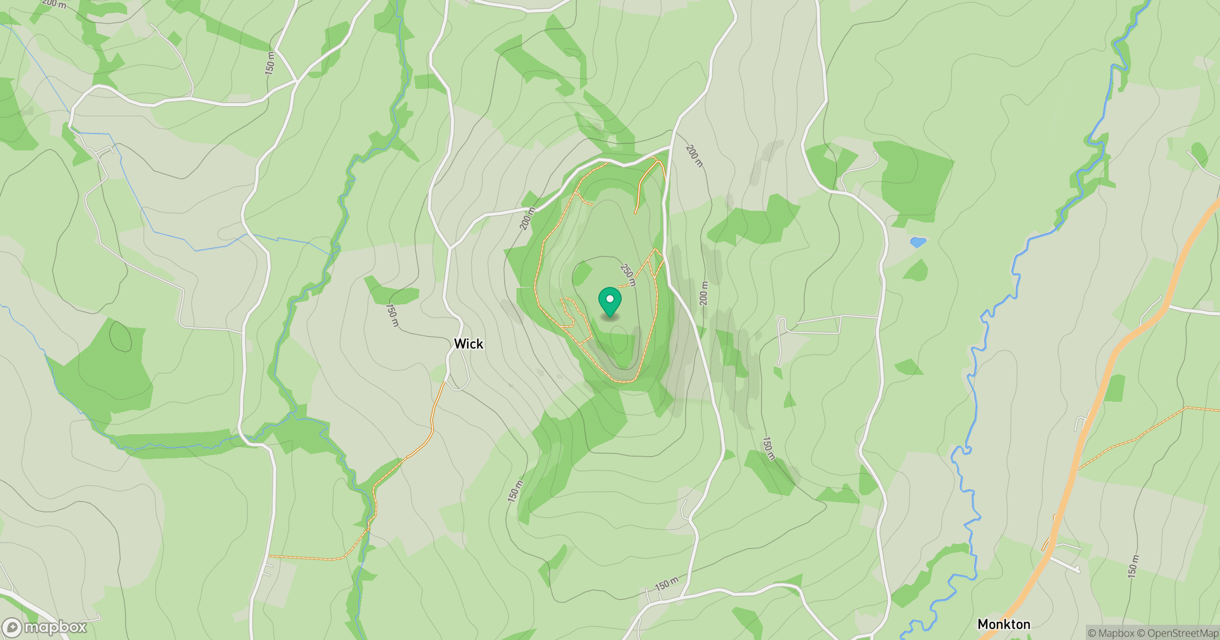
Grid reference: ST176040
View on OpenStreetMapOpens a map in a new tab, centred on the hill.
No comments yet. Be the first.