

Druim na Ciche
Good walks are even better shared.
NH0508 : Summit of Aonach air Chrith
Colin Park Photo source
Overview
Druim na Ciche
Introduction
Nestled in the heart of the Scottish Highlands, Druim na Ciche may not be the tallest peak around, but it certainly pulls its weight in character. At an elevation of 523 meters, it's a charming Marilyn that provides both the thrill of a hill climb and impressive views that can make even the most seasoned outdoor enthusiast stop in their tracks.
Geography and Geology
Druim na Ciche has a geological history that tells stories of ancient seas and glacial movements. The distinctive schists and sandstones form a rugged terrain, especially around the summit where exposed rock offers a glimpse of the mountain's past.
Routes
The most popular approach is via the Western route from the A832. This 6.5 km trail is a favourite among locals, weaving through tranquil woodlands before unveiling the breathtaking views from the top. Expect to spend around 3.5 hours enjoying the climb—enough time to catch your breath and maybe even share a laugh with fellow hikers!
Summit Features
Once you’ve reached the summit, pat yourself on the back and admire the modest cairn that crowns the peak. It’s a repeat of ages old where many a hiker has added their stones, contributing to the ever-growing testament of human curiosity and adventure.
Terrain
Expect a mix of grassy trails interspersed with rocky areas that can become boggy after rainfall. It's a real outdoors experience where a sturdy pair of boots will serve you well.
Views
From the top, the panoramas are nothing short of spectacular. You’ll enjoy clear sights of Loch Lurgainn and the rugged peaks that dominate the skyline. The best time to catch these views is during spring or autumn, when the weather is most cooperative and nature puts on its best show.
Hazards
While Druim na Ciche is welcoming, it's not without its quirks. Watch out for loose rocks and slippery paths, especially in wet conditions. Always check the weather beforehand—as the Scots say, it can change quicker than you can say, “Where's the nearest pub?”
Access and Facilities
Parking is reasonably accessible along the A832 with room for a few cars. Ullapool offers a blend of friendly facilities, including cafes to refuel after your adventure. Just don’t forget to enjoy a slice of cake—the calories don’t count when you're up a mountain!
History
The name 'Druim na Ciche' has a lovely ring to it, translating to 'Ridge of the Chair'. That might be an invitation to sit back and relax after a climb—if only it were that simple! This mountain holds a special place in the hearts of locals and visitors alike, symbolising the spirit of exploration that defines the Highlands.
Conclusion
Druim na Ciche is a delightful little adventure that's big on rewards. Whether you're a seasoned hiker or a weekend warrior, this peak offers beauty, challenges, and the opportunity to make lasting memories in the stunning landscapes of Scotland. So lace up your boots, grab your gear, and prepare to be captivated by nature's wonders.
Happy hiking!
Explore routes near Druim na Ciche
Walks starting near this hill. Open a route to check its map, distance and full itinerary.
Glen Affric: Coire Loch Woodland Trail
View route
Banavie to Glen Loy Aqueduct: Neptune’s Staircase Canal Towpath
View route
Fort Augustus to Kytra Lock: Caledonian Canal Towpath
View route
Ben Nevis via Mountain Path
View route
Route planning notes
These notes describe possible approaches. Check a route's map and access information when planning your walk.
Western Approach from A832
This route begins along the A832, leading hikers through scenic woodlands and up to the summit, offering stunning views over nearby lochs.
Make a day of it, together
Find someone to share the walk with, or organise a day out along a route you like.
Photo Gallery
View all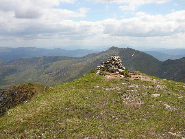 Photo could not load
NH0508 : Summit of Aonach air Chrith
Colin Park
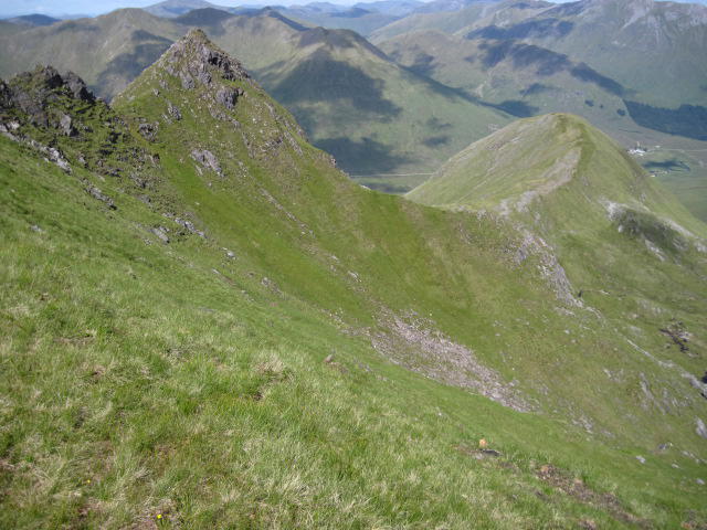 Photo could not load
NH0508 : Druim na Ciche to A' Chioch
Chris Wimbush
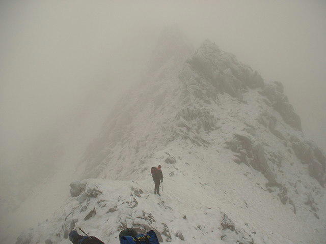 Photo could not load
NH0508 : Rock Towers on Aonach air Chrith
Dale Rodgers
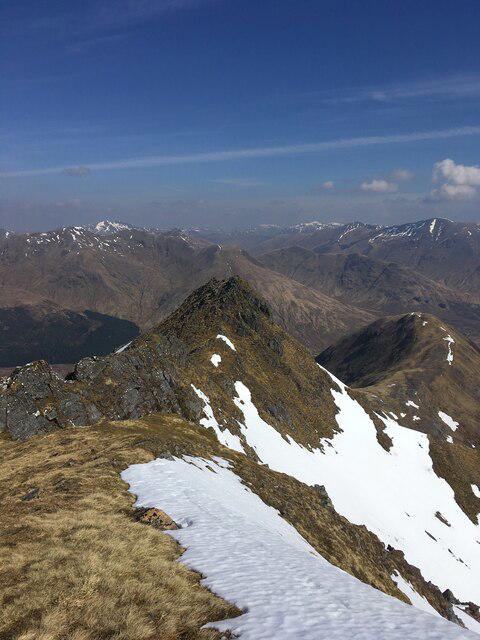 Photo could not load
NH0508 : North ridge of Aonach Air Chrith
Steven Brown
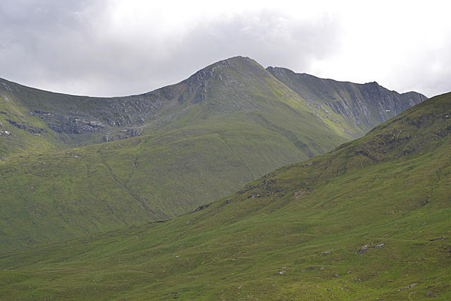 Photo could not load
NH0508 : Aonach air Chrith from the north west
Nigel Brown
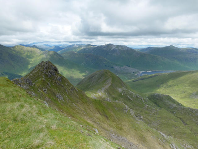 Photo could not load
NH0508 : Druim na Ciche
John Allan
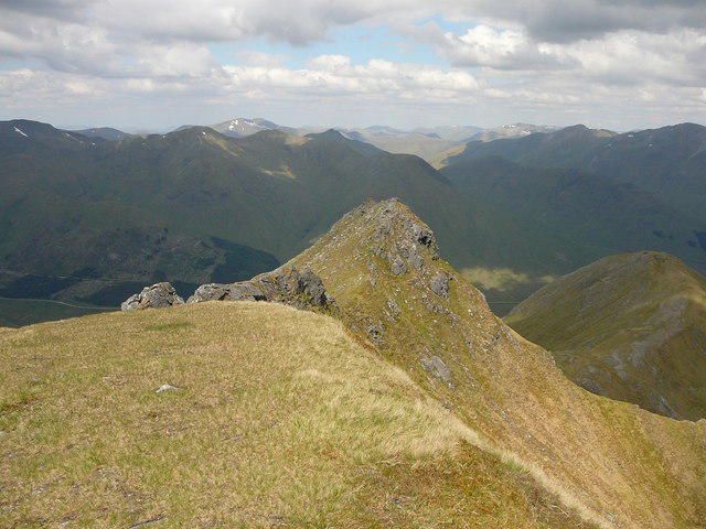 Photo could not load
NH0508 : Ridge north from Aonach air Chrith
Colin Park
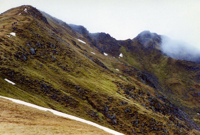 Photo could not load
NH0508 : Climbing Creag a' Mhàim
wfmillar
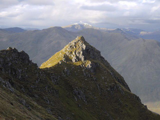 Photo could not load
NH0508 : Druim na Ciche
Callum Black
Hill facts and local notes
Classifications
Elevation
1,000m
3,280 ft
Prominence
19m
Coordinates
57.1266, -5.2206
NH051085
OS Map
33
Explorer: 414S
At the Summit
The summit features a modest cairn topped with a few stones, a perfect place for a photo op to prove to your friends that you really did climb a mountain!
Terrain & Geology
Druim na Ciche features a mix of metamorphic and sedimentary rock typical of the Scottish Highlands, including schists and sandstones. The mountain's rugged profile has been shaped by glacial activity, leaving behind distinct ridges and valleys.
Views & Scenery
From the summit, one can see the expansive landscapes of the Scottish Highlands, including Loch Lurgainn and the jagged peaks of the surrounding hills.
History & Heritage
Name Origin
The name 'Druim na Ciche' translates to 'Ridge of the Chair', possibly referencing the shape of the mountain or its history as a gathering place for locals.
Historical Significance
Apart from its natural beauty, the mountain is known among hikers for its accessibility and the friendly challenges it offers.
Getting There & Facilities
Parking
There is a small pull-in and parking area on the A832, suitable for a few cars. Ensure you're not blocking any gates!
Public Transport
Public transport options may be limited; the closest bus stop is in the village of Dundonnell, 8 km away.
Nearby Facilities
Facilities in nearby Ullapool include cafes and toilets, but be prepared—it's a popular spot for tourists.
Safety Information
Known Hazards
- Loose rocks, muddy paths, and potential sudden weather changes are common hazards. Watch your footing to avoid a surprised tumble!
General Safety Tips
- Check weather conditions before setting out
- Carry appropriate clothing and equipment
- Let someone know your planned route
- Take a map, compass, and GPS device
- Carry emergency supplies: food, water, first aid kit, torch
Hills
Some common questions about the hills answered
Are there group walks up Druim na Ciche?
Many walkers use Walkmates to join or organise walks with others. You can check for group walks around Druim na Ciche through the maps
Are there other walkers around Druim na Ciche?
Activity varies by location and time, but Walkmates lets you see whether others have shared walks or shown interest in this area. Find other people through the walking friends search walking friends for Druim na Ciche search or of course create your own walk for Druim na Ciche
Can I organise a walk to Druim na Ciche?
Yes. If there aren’t any walks listed already, you can create a walk and make it available for others to join.
If you're signed up to Walkmates, you can create a walk to Druim na Ciche.
How do I find a walk up this hill?
There are often multiple ways to walk this hill, depending on experience and route preference. Walkmates helps you explore walks and routes that others have shared.
Can I suggest a new route up Druim na Ciche?
Yes. You can suggest or create routes to share with others. Walkmates focuses on the social side of walking, so routes are used to help people organise walks and explore areas together, rather than as detailed navigation tools or route libraries.
Other uses really appreciate knowledgeable walkers sharing their routes. Share your favourite route to Druim na Ciche here
The is an error or something incorrect about this hill. How do I let you know?
We always strive to keep the information on Walkmates as accurate as possible. If you find an error, please let us know through the contact form and we'll aim to correct it as quickly as possible
Community Discussion
Comments
Location
View the hill's mapped position and surrounding paths.
Grid reference: NH051085
View on OpenStreetMapOpens a map in a new tab, centred on the hill.
Nearby Hills
Gleouraich
1,035m
Sgurr a' Mhaoraich
1,027m
Sgurr Fhuaran
1,069m
Mam Sodhail
1,179m
Carn Eighe
1,183m
No comments yet. Be the first.