

Cwar yr Ystrad
Good walks are even better shared.
SO0814 : Cwar yr Ystrad
Trevor Littlewood Photo source
Overview
Cwar yr Ystrad
Introduction
Nestled within the breathtaking Brecon Beacons National Park, Cwar yr Ystrad is a charming hill that offers hikers an engaging trek without the need for mountain-climbing gear. With an elevation of 389 meters, it’s perfect for a family outing or a relaxed day in nature.
Geology
The distinctive red hues of Cwar yr Ystrad are attributed to its Old Red Sandstone composition. This rock type tells a geological story that spans millions of years and attracts many geology enthusiasts eager to explore its ancient fossil records.
Routes
The Ystrad Path is the most popular route leading to the summit. This moderate trail spans approximately 7.5 km and generally takes around 2.5 hours to traverse. The path is well-marked, winding through beautiful woodlands and grassy slopes, and is an ideal choice for those looking to soak in the scenery while keeping the hike accessible.
Summit Features
When you reach the top, you'll be greeted by a humble cairn that marks the peak. It’s a popular spot for a quick break and even quicker selfies! The sweeping views from the summit are breathtaking, with peaks like Pen y Fan and Corn Du dominating the horizon.
Terrain
The terrain of Cwar yr Ystrad is friendly for hikers, combining grassy slopes with occasional rocky outcrops. It’s a pleasant mix that keeps your feet guessing without requiring expert navigation skills.
Views
Once at the summit, you’ll enjoy stunning views of the nearby mountains and the picturesque Usk Valley. The best seasons to enjoy this natural beauty are late spring and early autumn, when the landscape is awash with colour.
Hazards
Though many enjoy the gentle trail, it’s important to note that the area can be boggy after rains. A good pair of hiking boots is highly recommended. And remember, the sheep around here are not just for show; they have priority in these pastures!
Nearby Summits
Don’t miss exploring Fan Fawr, which towers at an elevation of 799 meters and offers a more challenging hike for those wanting to extend their outdoor adventure.
Access
For those driving, a small car park is conveniently located at SO095136, only a 10-minute jaunt from the nearest major road, but arrive early on weekends to secure a spot. If you prefer public transport, buses from Merthyr Tydfil will drop you off close to the starting point.
Facilities
Before you embark on your quest to conquer Cwar yr Ystrad, make the most of facilities in the nearby village of Libanus, which includes a quaint café and public toilets that will come in handy.
History
The name 'Cwar yr Ystrad' reflects its cultural roots, with the translation hinting at its historical importance for local shepherds traversing the valley. It’s a fine example of how nature and culture often walk hand-in-hand in these beautiful landscapes.
In summary, Cwar yr Ystrad is a delightful destination for hikers looking for an accessible yet rewarding experience in the great outdoors. Happy hiking!
Explore routes near Cwar yr Ystrad
Walks starting near this hill. Open a route to check its map, distance and full itinerary.
A Very Merry Winter Walk ending with Cake & a Hot Drink!
View route
Merthyr Tydfil with Men Walking & Talking
View route
Pen y Fan via Corn Du from Storey Arms
View route
Aberdare Walk with Men Walking & Talking
View route
Route planning notes
These notes describe possible approaches. Check a route's map and access information when planning your walk.
The Ystrad Path
A gentle path that meanders through lovely woodlands before leading to the summit, perfect for those who prefer a more relaxed ascent.
Make a day of it, together
Find someone to share the walk with, or organise a day out along a route you like.
Photo Gallery
View all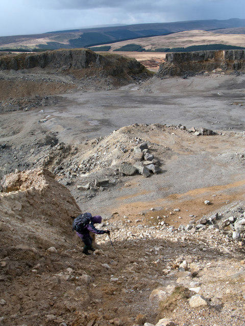 Photo could not load
SO0814 : Cwar yr Ystrad
Trevor Littlewood
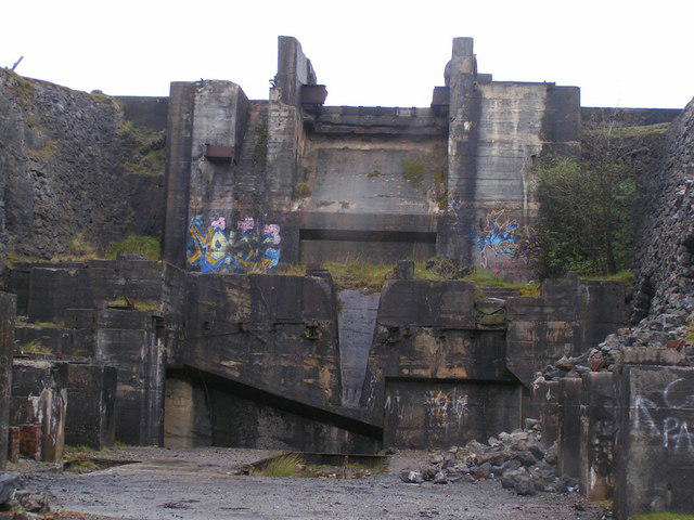 Photo could not load
SO0814 : Trevil Quarry
andy dolman
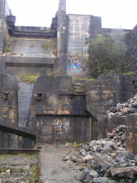 Photo could not load
SO0814 : Trevil Quarry
andy dolman
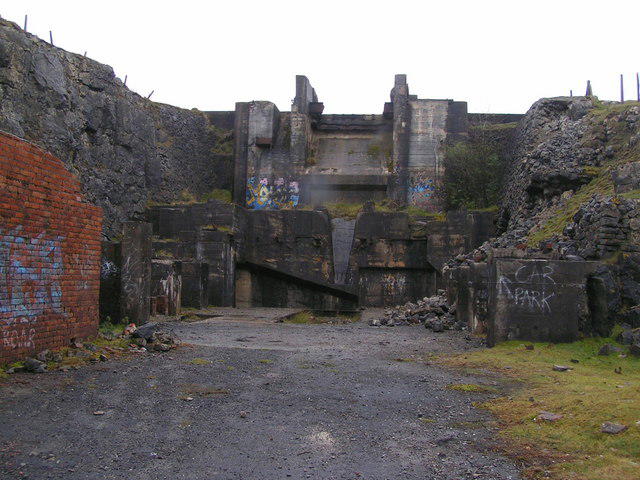 Photo could not load
SO0814 : Trevil Quarry
andy dolman
Hill facts and local notes
Classifications
Elevation
579m
1,900 ft
Prominence
20m
Coordinates
51.8196, -3.3297
SO084142
OS Map
160
Explorer: OL12E
At the Summit
The summit features a modest cairn marking the highest point, providing a perfect photo opportunity, as well as a stunning view of the surrounding mountains.
Terrain & Geology
Cwar yr Ystrad is primarily composed of Old Red Sandstone, which gives it a distinctive reddish hue. This sedimentary rock formation is popular among geology enthusiasts due to its rich fossil record.
Views & Scenery
From the summit, you can see the majestic peaks of Pen y Fan and Corn Du, as well as the beautiful Usk Valley below.
History & Heritage
Name Origin
Cwar yr Ystrad translates to 'The Cross at the Vale', hinting at the historical significance of this route through the valley.
Historical Significance
Historically, this area has been a vital route for local shepherds and has deep connections to the local culture and traditions.
Getting There & Facilities
Parking
There is a small car park at SO095136, which is about a 10-minute drive from the nearest major road. Be prepared as spaces fill up quickly during weekends!
Public Transport
Regular buses run from Merthyr Tydfil to the nearby village of Ystradfellte, with a short hike to the start of the Ystrad Path.
Nearby Facilities
The nearest facilities, including a small café and public toilets, are in Libanus. Make sure to stock up on snacks and refreshments before your hike!
Safety Information
Known Hazards
- Occasional boggy patches can be encountered along the trail, particularly after rainfall, so good hiking boots are essential. Watch out for sheep, they have the right of way!
General Safety Tips
- Check weather conditions before setting out
- Carry appropriate clothing and equipment
- Let someone know your planned route
- Take a map, compass, and GPS device
- Carry emergency supplies: food, water, first aid kit, torch
Hills
Some common questions about the hills answered
Are there group walks up Cwar yr Ystrad?
Many walkers use Walkmates to join or organise walks with others. You can check for group walks around Cwar yr Ystrad through the maps
Are there other walkers around Cwar yr Ystrad?
Activity varies by location and time, but Walkmates lets you see whether others have shared walks or shown interest in this area. Find other people through the walking friends search walking friends for Cwar yr Ystrad search or of course create your own walk for Cwar yr Ystrad
Can I organise a walk to Cwar yr Ystrad?
Yes. If there aren’t any walks listed already, you can create a walk and make it available for others to join.
If you're signed up to Walkmates, you can create a walk to Cwar yr Ystrad.
How do I find a walk up this hill?
There are often multiple ways to walk this hill, depending on experience and route preference. Walkmates helps you explore walks and routes that others have shared.
Can I suggest a new route up Cwar yr Ystrad?
Yes. You can suggest or create routes to share with others. Walkmates focuses on the social side of walking, so routes are used to help people organise walks and explore areas together, rather than as detailed navigation tools or route libraries.
Other uses really appreciate knowledgeable walkers sharing their routes. Share your favourite route to Cwar yr Ystrad here
The is an error or something incorrect about this hill. How do I let you know?
We always strive to keep the information on Walkmates as accurate as possible. If you find an error, please let us know through the contact form and we'll aim to correct it as quickly as possible
Community Discussion
Comments
Location
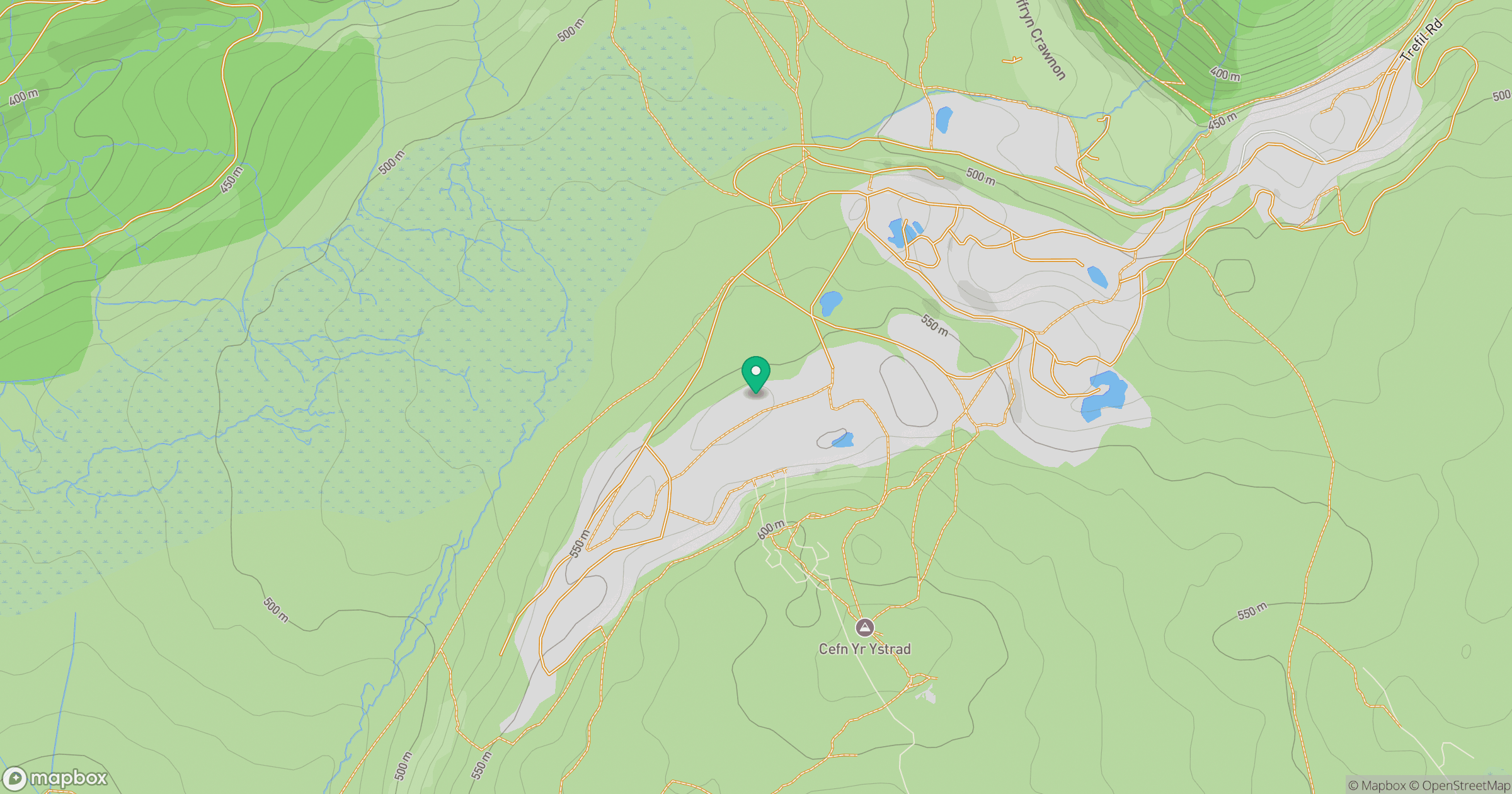
Grid reference: SO084142
View on OpenStreetMapOpens a map in a new tab, centred on the hill.


No comments yet. Be the first.