

Cutsdean Hill
Good walks are even better shared.
SP1030 : Buckle Street on Cutsdean Hill
David Purchase Photo source
Overview
Cutsdean Hill
Welcome fellow explorers! Cutsdean Hill, standing at a respectable 279 meters, is a gem nestled in the Cotswolds. Known as a Hewitt, this hill is not just a number; it offers stunning views and a slice of the enchanting English countryside.
Geology
Cutsdean Hill is primarily composed of Jurassic limestone, making it a quintessential part of the Cotswold landscape. The stones here have seen eons of weather and time, and they now create the rolling hills and stunning dry stone walls that Cotswold fairytales are made of.
Routes
One popular route to ascend this lovely hill is via the Cotswold Way National Trail. This moderate route gives you 11.5 km of pure scenic joy and will take around 4 hours, depending on how often you stop to snap photos of those panoramic views! Remember, the path can vary, so a sturdy pair of boots is advisable.
Summit Features
Upon reaching the summit, you're greeted by a quaint little cairn and a stone marker—perfect for a quick photo op or an impromptu snack break. Take in the sight of the lush valleys that cradle this hill; it's a view worthy of a postcard!
Terrain Type
The terrain on Cutsdean Hill is predominantly gentle slopes covered with grass and dotted with wildflowers, although you might trip over the odd rocky outcrop if you're not paying attention!
Views
The panoramas from the top really are the icing on the cake! You can see the gentle undulations of the Cotswolds, with the majestic Malvern Hills making a distant appearance if the weather plays nice. Spring and early autumn are the prime times for these views, when the landscape is a riot of colours.
Hazards
As with hill walking anywhere, beware of the potential for changing weather. It’s as temperamental as a cat! Paths can become slippery after rain, so tread carefully.
Nearby Summits
Feeling adventurous? Nearby you’ll find Crickley Hill and Leckhampton Hill, both worthy companions in your outdoor escapades.
Access
For those driving, head to the Crickley Hill Country Park car park. It’s the closest spot and offers ample space (though expect a crowd on sunny weekends!). If you prefer public transport, buses from Cheltenham will take you to Birdlip, from where it is a pleasant walk to the hill.
Facilities
While there are no facilities directly on Cutsdean Hill, the nearby village of Birdlip has a pub that serves a good pint, and for those needing more, Cheltenham is just a stone's throw away, boasting cafés and public toilets galore!
History
The name 'Cutsdean' has Old English roots, meaning 'valley of the cut stones’, a fitting name for this limestone wonder. The hill has cultural significance for locals and has inspired many a tale from the region.
So pack your bags, lace up your boots, and get ready to embrace the beauty of Cutsdean Hill—a true testament to the marvels of the Cotswolds!
Happy Hiking!
Explore routes near Cutsdean Hill
Walks starting near this hill. Open a route to check its map, distance and full itinerary.
Winchcombe and Belas Knap: Cotswold Way and Sudeley Valley circuit
View route
Bourton-on-the-Water and Wyck Rissington: Greystones and three rivers
View route
Evesham Walk with Men Walking & Talking
View route
Cheltenham Walk with Men Walking & Talking
View route
Route planning notes
These notes describe possible approaches. Check a route's map and access information when planning your walk.
Cotswold Way National Trail
A scenic section of the famed Cotswold Way, this route leads hikers through picturesque landscapes with ample opportunities for wildlife spotting.
Make a day of it, together
Find someone to share the walk with, or organise a day out along a route you like.
Photo Gallery
View all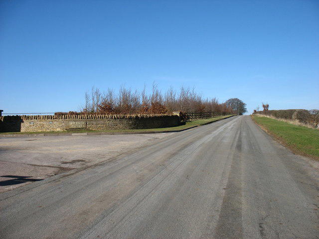 Photo could not load
SP1030 : Buckle Street on Cutsdean Hill
David Purchase
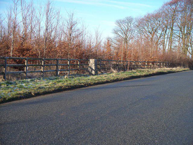 Photo could not load
SP1030 : Triangulation pillar
Michael Dibb
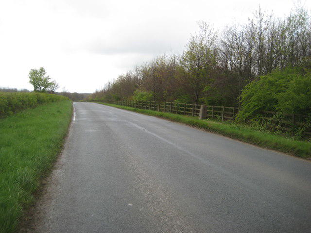 Photo could not load
SP1030 : Cutsdean Trig Point
Anthony Vosper
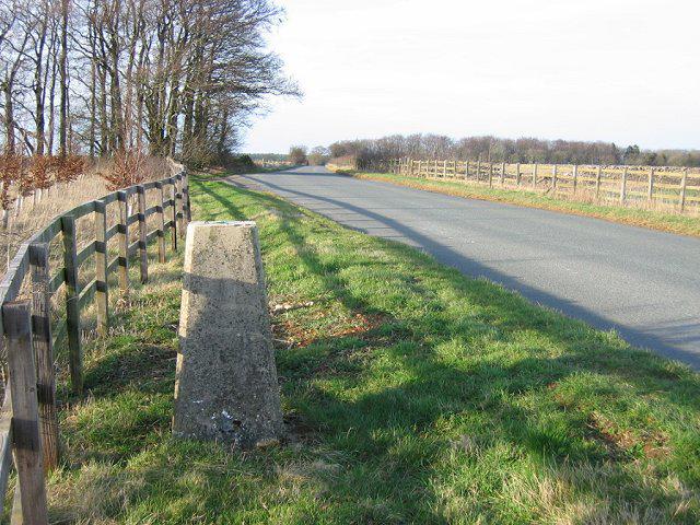 Photo could not load
SP1030 : Cutsdean Hill
Richard Webb
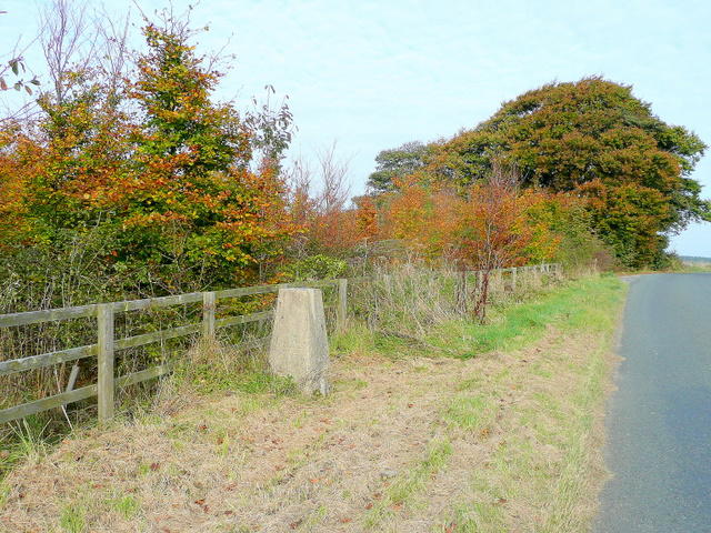 Photo could not load
SP1030 : Cutsdean Hill triangulation pillar
Jonathan Billinger
Hill facts and local notes
Classifications
Elevation
306m
1,003 ft
Prominence
30m
Coordinates
51.9715, -1.8493
SP104303
OS Map
150
Explorer: OL45N
At the Summit
The summit features a small cairn and a stone marker, often adorned with mementos left by fellow hikers. The view from the top is simply a sight for sore eyes.
Terrain & Geology
Cutsdean Hill is predominantly composed of Jurassic limestone, which is typical of the Cotswold area. This rock formation contributes to the region's rolling hills and distinctive dry stone walls.
Views & Scenery
From the summit, one can gaze upon the rolling hills of the Cotswolds, the distant Malvern Hills, and on a clear day, even the Welsh mountains on the horizon.
History & Heritage
Name Origin
The name 'Cutsdean' is thought to derive from Old English, meaning 'valley of the cut stones', referring to the area's limestone geology.
Historical Significance
Cutsdean Hill has been a beloved spot for locals for generations, often featured in Cotswold folklore and as a popular hiking destination.
Getting There & Facilities
Parking
The nearest parking can be found at the Crickley Hill Country Park car park, approximately 5 km away. It's conveniently situated but can get busy on weekends.
Public Transport
Buses from Cheltenham regularly run to the nearby village of Birdlip, from which it is a pleasant walk to the hill.
Nearby Facilities
There are no facilities directly on the hill, but nearby Birdlip has a pub and basic amenities. Cheltenham offers more extensive facilities including cafes and public toilets.
Safety Information
Known Hazards
- As with any hill walking, be aware of changing weather conditions and slippery paths after rain.
General Safety Tips
- Check weather conditions before setting out
- Carry appropriate clothing and equipment
- Let someone know your planned route
- Take a map, compass, and GPS device
- Carry emergency supplies: food, water, first aid kit, torch
Hills
Some common questions about the hills answered
Are there group walks up Cutsdean Hill?
Many walkers use Walkmates to join or organise walks with others. You can check for group walks around Cutsdean Hill through the maps
Are there other walkers around Cutsdean Hill?
Activity varies by location and time, but Walkmates lets you see whether others have shared walks or shown interest in this area. Find other people through the walking friends search walking friends for Cutsdean Hill search or of course create your own walk for Cutsdean Hill
Can I organise a walk to Cutsdean Hill?
Yes. If there aren’t any walks listed already, you can create a walk and make it available for others to join.
If you're signed up to Walkmates, you can create a walk to Cutsdean Hill.
How do I find a walk up this hill?
There are often multiple ways to walk this hill, depending on experience and route preference. Walkmates helps you explore walks and routes that others have shared.
Can I suggest a new route up Cutsdean Hill?
Yes. You can suggest or create routes to share with others. Walkmates focuses on the social side of walking, so routes are used to help people organise walks and explore areas together, rather than as detailed navigation tools or route libraries.
Other uses really appreciate knowledgeable walkers sharing their routes. Share your favourite route to Cutsdean Hill here
The is an error or something incorrect about this hill. How do I let you know?
We always strive to keep the information on Walkmates as accurate as possible. If you find an error, please let us know through the contact form and we'll aim to correct it as quickly as possible
Community Discussion
Comments
Location
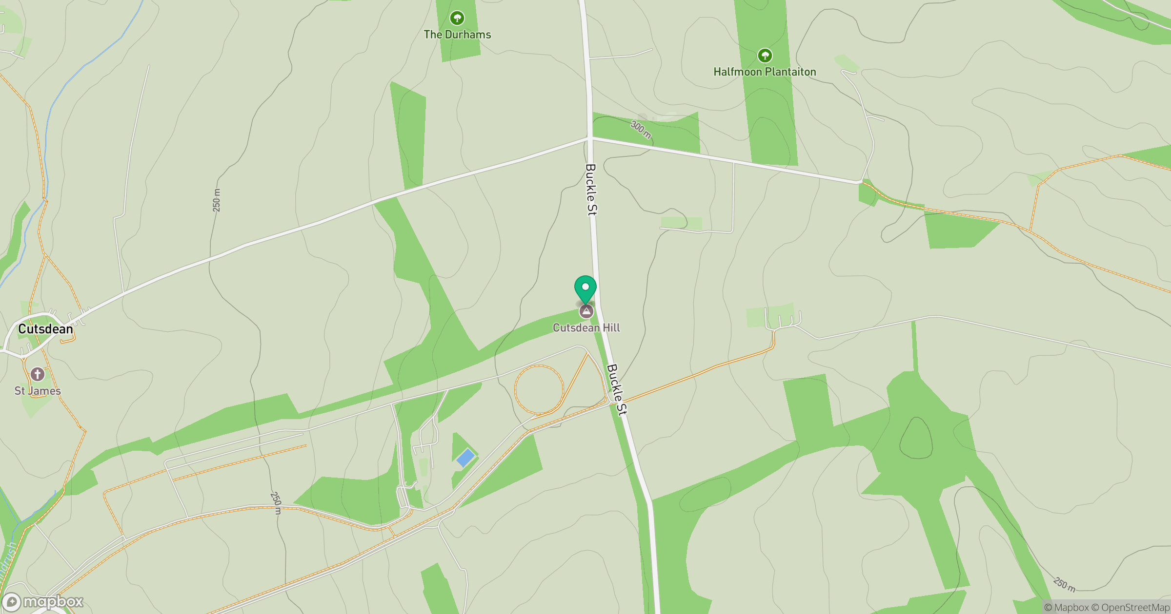
Grid reference: SP104303
View on OpenStreetMapOpens a map in a new tab, centred on the hill.
Nearby Hills
Worcestershire Beacon
425m
Titterstone Clee Hill
533m

The Wrekin
407m
Long Mynd - Pole Bank
517m
Glastonbury Tor
158m
No comments yet. Be the first.