

Oxenton Hill
Good walks are even better shared.
Overview
Oxenton Hill
Overview
Oxenton Hill, standing at a modest 200 meters, may not be the tallest in the Cotswolds, but what it lacks in height, it makes up for in charm and sweeping views. Nestled just outside the quaint village of Oxenton, the hill offers an accessible escape for hikers and nature lovers alike.
Geology
Formed from limestone, Oxenton Hill is a classic example of the Cotswolds’ geology. This sturdy rock was deposited during the Jurassic period when the area was covered by a warm, shallow sea. So, if you fancy yourself a bit of a geologist, feel free to impress your mates with this fascinating fact!
The Routes
For those keen on a spot of hiking, the Oxenton Hill Circular Walk is highly recommended. This 5.5 km route takes roughly 1.5 hours to complete and offers a delightful mixture of lush meadows and shaded woodlands, all leading to the panoramic views from the summit. It’s a moderate trek, making it perfect for families or individuals looking for a scenic day out without the need for an alpinist’s gear.
Summit Features
Upon reaching the summit, you’ll find a modest stone cairn, a little volcanic-like monument to mark your achievement. The view from here is truly rewarding; on a clear day, the distant Malvern Hills proudly proclaim their presence amid the gently rolling Cotswolds.
Terrain Type
Expect grassy slopes that may occasionally turn rocky underfoot. It’s a pleasant walk, offering a close encounter with nature, and be sure to watch where you’re placing your feet – no one likes a soggy sock!
Views
The view from Oxenton Hill is a tapestry of the Cotswolds’ undulating landscape. The best seasons for enjoying these sights are during Spring and Autumn when the colours flourish. Bring a camera; you'll want to capture that Instagram-worthy moment!
Hazards
While the hill is generally safe, be wary of muddy paths after rain and, of course, the wandering livestock. It’s always wise to keep a respectful distance!
Nearby Summits
Not far from Oxenton Hill, you will find:
- Bredon Hill (299 m)
- Hagley Hill (239 m)
Both are worth checking out should your hiking spirit dwell into an all-day affair.
Access
You can park at the village of Oxenton, which has a limited amount of parking, but should do the trick if you arrive early. Public transport options exist, albeit with infrequent service, so be sure to check the local bus schedules. Cheltenham is your nearest town, lying around 8 km away should you need other facilities or find yourself in need of a coffee before tackling the trails.
Facilities
Once in Oxenton, you might stumble upon a cosy pub offering traditional meals and a cuppa. Keep an eye on the opening times though, as they can vary!
History
The etymology of Oxenton refers to its historical roots featuring oxen and rivers, giving us a glimpse into its agricultural past. The hill has served as a significant landmark for generations, adorned in local lore and poetry alike.
So lace up your walking boots, grab your hiking stick, and be prepared to experience a delightful day out at Oxenton Hill – where the heights may be modest, but the views are anything but!
Happy hiking!
Explore routes near Oxenton Hill
Public walks starting within 80 km of this hill. Nearby does not mean a route reaches the summit; check its map and access before setting out.
Winchcombe and Belas Knap: Cotswold Way and Sudeley Valley circuit
View route
Pershore Bridges: River Avon and Tiddesley Wood circular walk
View route
Croome: Park Seat and the river landscape
View route
Bourton-on-the-Water and Wyck Rissington: Greystones and three rivers
View route
Route planning notes
These notes describe possible approaches, not verified navigable routes or permission to cross land. Check current paths, local access rules and conditions before setting out.
Oxenton Hill Circular Walk
A delightful circular route starting from the village of Oxenton, winding through lush meadows and woodland before ascending the hill for splendid views.
Make a day of it, together
Find someone to share the walk with, or organise a day out along a route you like.
Photo Gallery
View all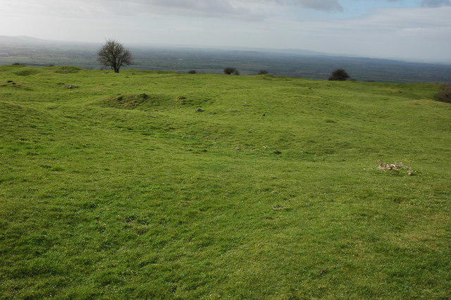 Photo could not load
SO9731 : The Knolls, Oxenton Hill
Philip Halling
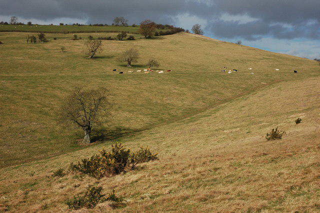 Photo could not load
SO9731 : Woolstone Hill
Philip Halling
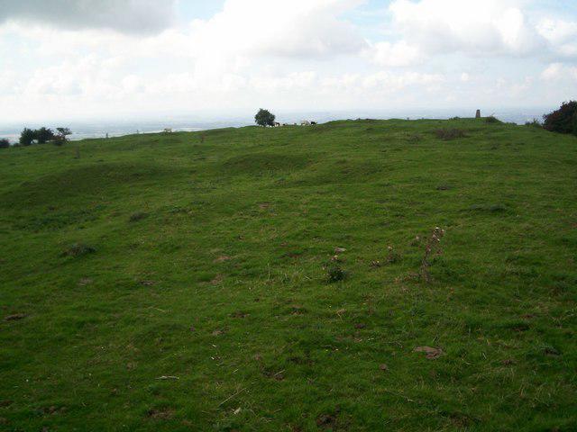 Photo could not load
SO9731 : The top of Oxenton Hill
Jennifer Luther Thomas
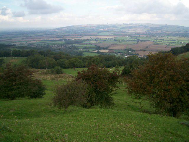 Photo could not load
SO9731 : The view north
Jennifer Luther Thomas
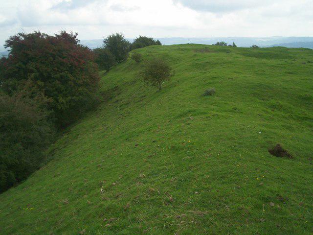 Photo could not load
SO9731 : The view east
Jennifer Luther Thomas
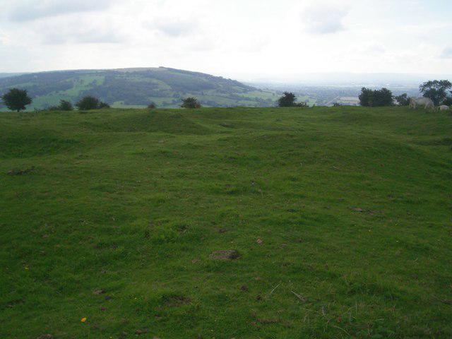 Photo could not load
SO9731 : The view south
Jennifer Luther Thomas
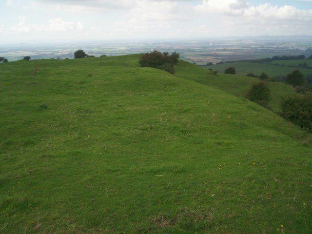 Photo could not load
SO9731 : The view west
Jennifer Luther Thomas
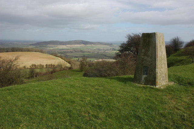 Photo could not load
SO9731 : Trig Point on Oxenton Hill
Philip Halling
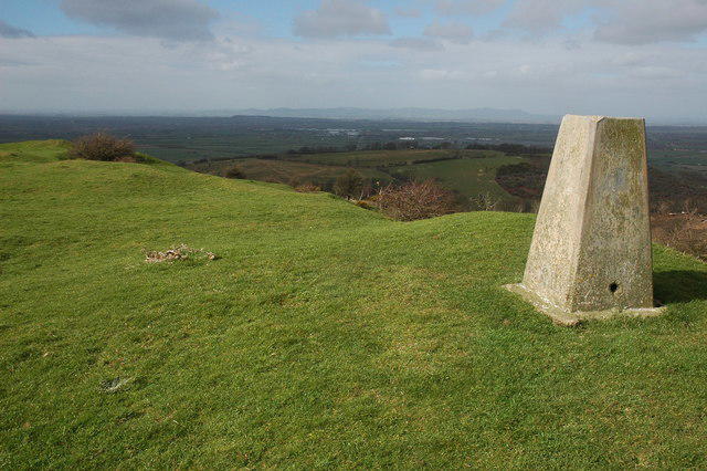 Photo could not load
SO9731 : Trig Point on Oxenton Hill
Philip Halling
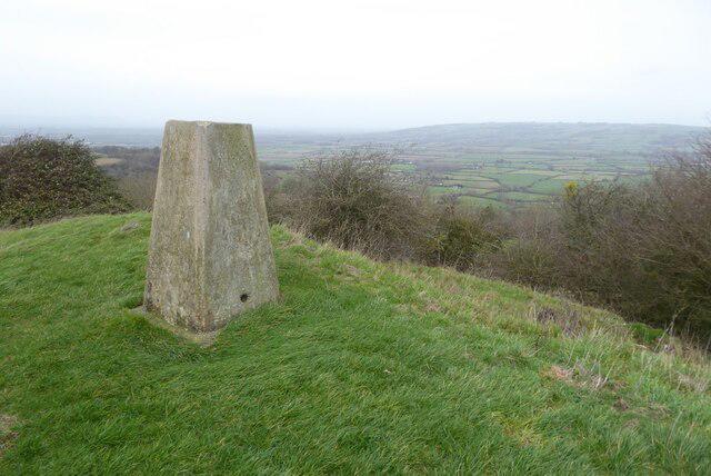
SO9731 : Trig point on Oxenton Hill
Philip Halling
Hill facts and local notes
Classifications
Elevation
223m
732 ft
Prominence
126m
Coordinates
51.9814, -2.0402
SO973314
OS Map
150
Explorer: 190
At the Summit
The summit features a small stone cairn and offers a panoramic viewpoint to the surrounding countryside.
Terrain & Geology
Oxenton Hill is primarily composed of limestone, characteristic of the Cotswolds region. This limestone formation is a remnant of a vast shallow sea that existed over 150 million years ago.
Views & Scenery
From the summit, you can spot the Malvern Hills in the distance and the expansive valleys of the Cotswolds.
History & Heritage
Name Origin
The name 'Oxenton' derives from Old English meaning 'farmstead by a river with oxen'.
Historical Significance
The area has historical ties to agriculture, and the hill itself has been a local landmark for centuries, often referenced in poems and tales of the region.
Getting There & Facilities
Check current local access restrictions, parking rules and transport timetables before travelling. These notes do not confirm public access to the summit.
Parking
There is a small parking area at the edge of the village of Oxenton, with enough space for a few cars.
Public Transport
Buses from Cheltenham can drop you off within a couple of miles of Oxenton, but check local schedules as they may be infrequent.
Nearby Facilities
In Oxenton, you'll find a pub serving hearty meals (check opening times) and public toilets available in nearby facilities.
Safety Information
Known Hazards
- Occasional slippery paths after rainfall, and the presence of livestock in surrounding fields.
General Safety Tips
- Check weather conditions before setting out
- Carry appropriate clothing and equipment
- Let someone know your planned route
- Take a map, compass, and GPS device
- Carry emergency supplies: food, water, first aid kit, torch
Hills
Some common questions about the hills answered
Are there group walks up Oxenton Hill?
Many walkers use Walkmates to join or organise walks with others. You can check for group walks around Oxenton Hill through the maps
Are there other walkers around Oxenton Hill?
Activity varies by location and time, but Walkmates lets you see whether others have shared walks or shown interest in this area. Find other people through the walking friends search walking friends for Oxenton Hill search or of course create your own walk for Oxenton Hill
Can I organise a walk to Oxenton Hill?
Yes. If there aren’t any walks listed already, you can create a walk and make it available for others to join.
If you're signed up to Walkmates, you can create a walk to Oxenton Hill.
How do I find a walk up this hill?
There are often multiple ways to walk this hill, depending on experience and route preference. Walkmates helps you explore walks and routes that others have shared.
Can I suggest a new route up Oxenton Hill?
Yes. You can suggest or create routes to share with others. Walkmates focuses on the social side of walking, so routes are used to help people organise walks and explore areas together, rather than as detailed navigation tools or route libraries.
Other uses really appreciate knowledgeable walkers sharing their routes. Share your favourite route to Oxenton Hill here
The is an error or something incorrect about this hill. How do I let you know?
We always strive to keep the information on Walkmates as accurate as possible. If you find an error, please let us know through the contact form and we'll aim to correct it as quickly as possible
Community Discussion
Comments
Location
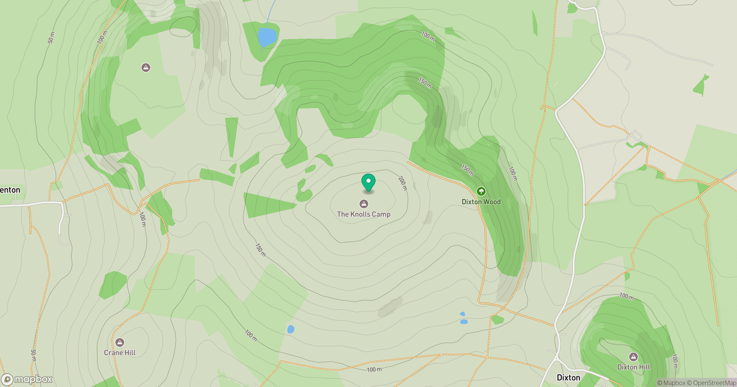
Grid reference: SO973314
View on OpenStreetMapOpens a map in a new tab, centred on the hill.
Hills within 30 km
Straight-line distance, not a walking route or confirmation of access.
Worcestershire Beacon
425m
Cleeve Hill
330m
Bredon Hill
299m
Birdlip Hill
300m
Churchdown Hill [Chosen Hill] [Tinker's Hill]
155m
No comments yet. Be the first.