

Ebrington Hill
Good walks are even better shared.
SP1842 : Ebrington Hill
Roger Cornfoot Photo source
Overview
Ebrington Hill Overview
Ebrington Hill is a modest yet charming peak located in the heart of the Cotswolds, offering both tranquillity and enticing views. At an elevation of 252 meters, it stands as a friendly giant amidst the undulating landscape, perfect for a gentle hike or a family outing.
Geology
The hill's geology is primarily composed of Jurassic limestone, forming part of the rich tapestry that characterises this area. This geology contributes to the unique biodiversity found here, making it an ideal spot for nature enthusiasts.
Routes
One of the most popular routes to the summit is the Ebrington Hill Circular Walk, a 5 km route that starts from the quaint village of Ebrington. The paths are well-maintained and provide a pleasant hike for walkers of all abilities. The total time for this trek is around 1.5 hours, so you can easily squeeze in a quick jaunt before lunch.
Summit Features
As you reach the summit, you'll be greeted by a modest stone cairn and a rustic wooden bench that invites you to sit a while and revel in the stunning surroundings. It’s an idyllic spot for a picnic, albeit better to leave the leftover cheese at home, lest the locals - i.e. the squirrels - launch an amusement assault on your snacks!
Views
The views from Ebrington Hill are a true delight. On a clear day, you can see the picturesque landmarks of the Cotswolds unfurl before your eyes, with distant peaks like the Malvern Hills greeting you from afar. The best time to enjoy these views is during spring or summer, especially in the late afternoon when the sun casts a golden hue across the landscape.
Hazards
While Ebrington Hill is generally safe, be mindful that paths can become slippery after rain. As the saying goes, “there's no such thing as bad weather, only inappropriate clothing.” So, wear those sturdy shoes!
Nearby Summits
If you’re keen on expanding your hiking adventures, nearby summits like Bredon Hill (299 meters) and Painswick Beacon (300 meters) are excellent options to consider.
Access
Accessing Ebrington Hill is straightforward. There’s parking available near the village green, albeit limited, so it's wise to arrive early. If you're not driving, the nearest bus service operates from Chipping Campden, which is about 5 miles to the west.
Facilities
After your hike, treat yourself at the local pub in Ebrington or head into Chipping Campden for a wider selection of cafes and shops. Remember, you’ve earned that slice of cake!
History
The name 'Ebrington' has historical significance, tracing back to early settlers. It’s thought to mean ‘Ebba's farm’ - a nod to its roots.
Ebrington Hill invites you to explore its beauty and cultural heritage with open arms. Whether you’re the seasoned hiker or merely seeking a stroll, this hill will certainly provide a delightful escape into nature.
Happy hiking!
Explore routes near Ebrington Hill
Walks starting near this hill. Open a route to check its map, distance and full itinerary.
Stratford-upon-Avon Walk with Men Walking & Talking
View route
Evesham Walk with Men Walking & Talking
View route
Charlecote Park: riverside, Hill Park and lime avenue
View route
Winchcombe and Belas Knap: Cotswold Way and Sudeley Valley circuit
View route
Route planning notes
These notes describe possible approaches. Check a route's map and access information when planning your walk.
Ebrington Hill Circular Walk
A pleasant circular walk starting from the village of Ebrington, suitable for families and those looking for a leisurely outing.
Make a day of it, together
Find someone to share the walk with, or organise a day out along a route you like.
Photo Gallery
View all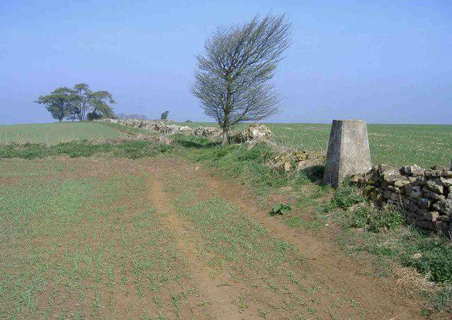 Photo could not load
SP1842 : Ebrington Hill
Roger Cornfoot
![SP1842 : Enclosed bridleway [2]](https://cdn.walkmates.com/gallery-images/a36a95881ee44d86b968785cc679d362.jpg) Photo could not load
Photo could not load
SP1842 : Enclosed bridleway [2]
Michael Dibb
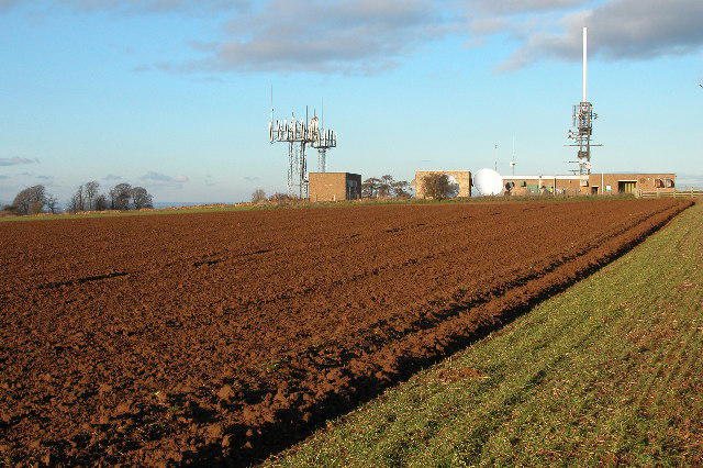 Photo could not load
SP1842 : Transmitters on Ilmington Downs
Philip Halling
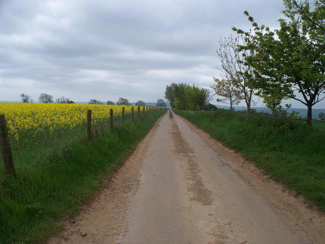 Photo could not load
SP1842 : Road to Ebrington
Michael Dibb
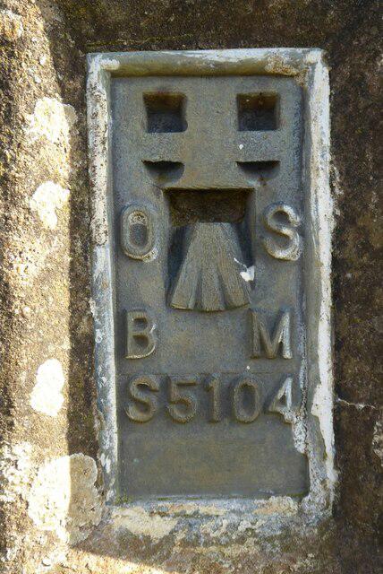 Photo could not load
SP1842 : OS flush bracket
Philip Halling
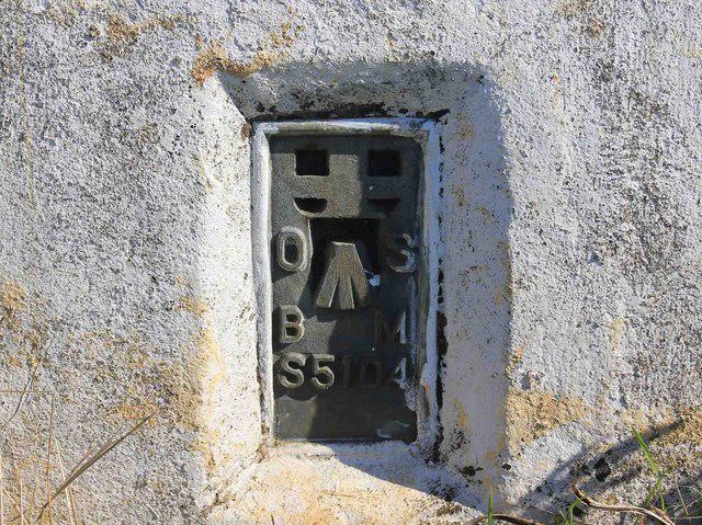 Photo could not load
SP1842 : Bench Mark S5104, Ilmington Down
David P Howard
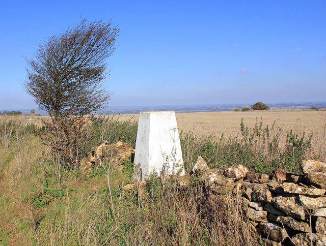 Photo could not load
SP1842 : Triangulation Pillar on Ebrington Hill, 259 metres
David P Howard
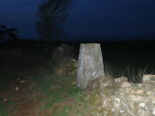 Photo could not load
SP1842 : Ebrington Hill triangulation pillar
Richard Webb
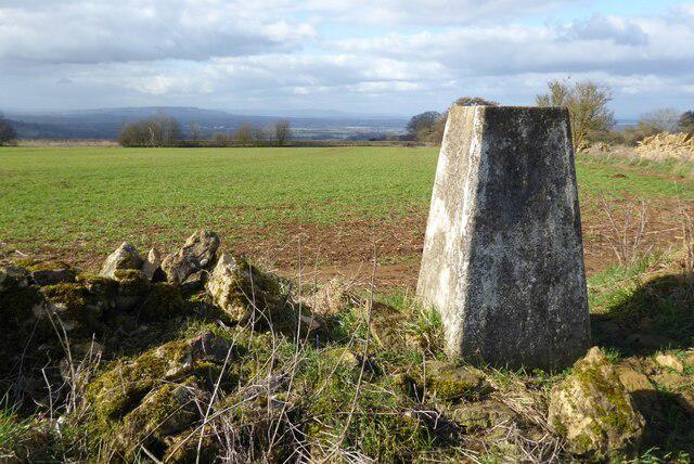 Photo could not load
SP1842 : Trig point on Ebrington Hill
Philip Halling
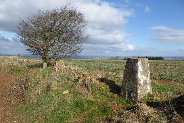
SP1842 : Trig point on Ebrington Hill
Philip Halling
Hill facts and local notes
Classifications
Elevation
261m
855 ft
Prominence
112m
Coordinates
52.0818, -1.7276
SP187426
OS Map
151
Explorer: 205
At the Summit
The summit features a small stone cairn and offers a rustic wooden bench for weary hikers to rest.
Terrain & Geology
The hill is primarily composed of Jurassic limestone, which gives the area its characteristic rolling hills and rich biodiversity.
Views & Scenery
From the summit, you can behold the enchanting landscapes of the Cotswolds, with distant views of the Malvern Hills on a clear day.
History & Heritage
Name Origin
The name 'Ebrington' is believed to derive from 'Ebba's farm', indicating a historical connection to early settlers in the region.
Historical Significance
Ebrington Hill has been a local landmark for centuries, steeped in history and folklore.
Getting There & Facilities
Parking
There is a small car park near the village green in Ebrington, accommodating about a dozen cars.
Public Transport
The nearest bus service operates from Chipping Campden, approximately 5 miles away.
Nearby Facilities
Ebrington has a local pub offering refreshments. For more comprehensive facilities, Chipping Campden has cafes and shops.
Safety Information
Known Hazards
- Potential for slippery paths after rain; however, no significant hazards are reported.
General Safety Tips
- Check weather conditions before setting out
- Carry appropriate clothing and equipment
- Let someone know your planned route
- Take a map, compass, and GPS device
- Carry emergency supplies: food, water, first aid kit, torch
Hills
Some common questions about the hills answered
Are there group walks up Ebrington Hill?
Many walkers use Walkmates to join or organise walks with others. You can check for group walks around Ebrington Hill through the maps
Are there other walkers around Ebrington Hill?
Activity varies by location and time, but Walkmates lets you see whether others have shared walks or shown interest in this area. Find other people through the walking friends search walking friends for Ebrington Hill search or of course create your own walk for Ebrington Hill
Can I organise a walk to Ebrington Hill?
Yes. If there aren’t any walks listed already, you can create a walk and make it available for others to join.
If you're signed up to Walkmates, you can create a walk to Ebrington Hill.
How do I find a walk up this hill?
There are often multiple ways to walk this hill, depending on experience and route preference. Walkmates helps you explore walks and routes that others have shared.
Can I suggest a new route up Ebrington Hill?
Yes. You can suggest or create routes to share with others. Walkmates focuses on the social side of walking, so routes are used to help people organise walks and explore areas together, rather than as detailed navigation tools or route libraries.
Other uses really appreciate knowledgeable walkers sharing their routes. Share your favourite route to Ebrington Hill here
The is an error or something incorrect about this hill. How do I let you know?
We always strive to keep the information on Walkmates as accurate as possible. If you find an error, please let us know through the contact form and we'll aim to correct it as quickly as possible
Community Discussion
Comments
Location
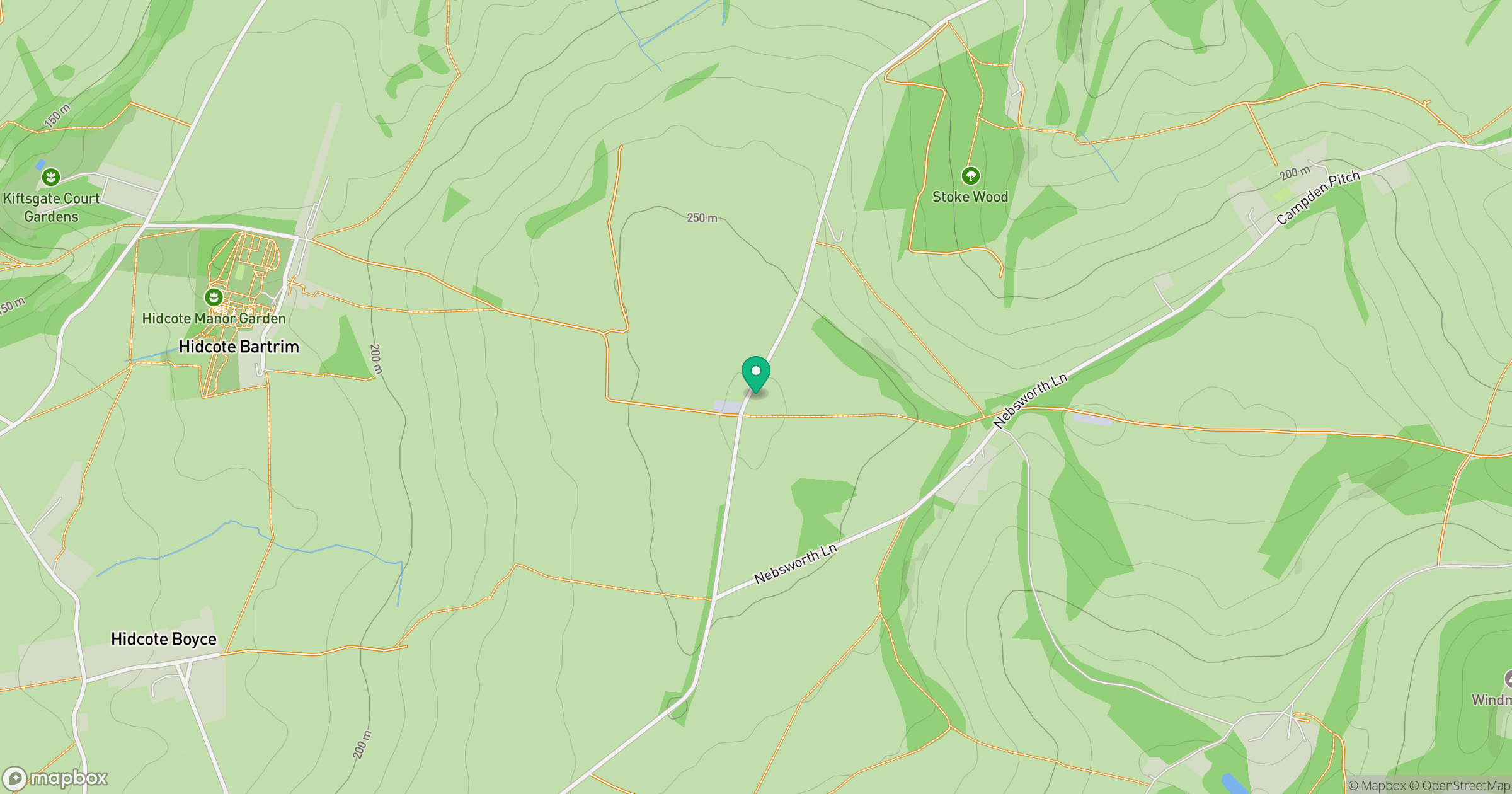
Grid reference: SP187426
View on OpenStreetMapOpens a map in a new tab, centred on the hill.
Nearby Hills
Worcestershire Beacon
425m
Titterstone Clee Hill
533m

The Wrekin
407m
The Roaches
505m
Long Mynd - Pole Bank
517m
No comments yet. Be the first.