
Cruach Mhor
Good walks are even better shared.
Overview
Cruach Mhor
Overview
Cruach Mhor, towering at an impressive 838 meters, is a proud Munro located in the Scottish Highlands. Renowned for its awe-inspiring panoramic views and challenging terrain, this striking peak attracts hikers from all over the globe. The journey to its summit promises a blend of adventure and the beauty of nature that’s hard to resist.
Geology
The mountain is predominantly composed of ancient greywacke and quartzite, rich with history etched in stone. As you navigate its rocky paths, you are literally walking over millennia of geological change.
Routes
1. Dunoon to Cruach Mhor
This popular route is accessible from Dunoon and spans around 10 kilometres. Expect a moderate challenge as you ascend, but the stunning vistas will reward your efforts in spades.
2. Inverchapel Route
Starting at the tranquil Inverchapel car park, this trail is approximately 8 kilometres, meandering through scenic woodlands before showcasing the rocky ascent. Estimated completion time is 3.5 hours.
Summit Features
Upon reaching the summit, hikers are greeted by a massive stone cairn. It’s not just a pile of stones, but a testament to the many adventurers who have scrabbled up to enjoy the view!
Terrain
Expect rocky paths dusted with grass and heather, leading to more rugged surfaces closer to the summit. Make sure your footwear is up for the challenge!
Views
From the peak, the sights are nothing short of breathtaking. Marvel at the stretch of the Firth of Clyde, gaze at the Isle of Bute, and take in the surrounding peaks. The best times to experience these views are in spring and early autumn, when visibility is at its prime.
Hazards
Like any adventure, there are risks. Watch out for loose rocks, especially in steep areas, and be prepared for sudden weather changes that can keep you on your toes – sometimes literally if you’re not careful!
Nearby Summits
Don’t forget to check out nearby Benmore and Beinn Bhreac after conquering Cruach Mhor. Both are inviting challenges in their own right!
Access
Nearest Parking
Parking can be found at the Inverchapel car park, about 5 kilometres from Dunoon. Spots can be limited, so an early start is advised.
Public Transport
Dunoon is reachable via bus from Glasgow with local taxis available to whisk you to the trailhead.
Nearest Town
Dunoon, which has amenities, refreshment spots and, most importantly, pints of beer waiting after your hike!
Facilities
In Dunoon, you’ll find a selection of cafes and shops to replenish your energy after your adventure, along with public toilets for convenience.
History
Name Meaning
Cruach Mhor translates to 'Great Hill' in Gaelic—apt, certainly!
Significance
This mountain serves not just as a physical challenge but as an emblem of local pride, celebrated for its beauty in poems and pictures alike.
In conclusion, whatever your level of hiking experience, Cruach Mhor offers a memorable outing wrapped in the friendly embrace of the Scottish Highlands’s natural splendour. Happy hiking!
Explore routes near Cruach Mhor
Walks starting near this hill. Open a route to check its map, distance and full itinerary.
Beinn Ime from Succoth
View route
The Cobbler from Succoth Carpark
View route
Glen Kin group walk
View route
Crinan Canal: Bellanoch and Dunardry towpath return
View route
Route planning notes
These notes describe possible approaches. Check a route's map and access information when planning your walk.
Dunoon to Cruach Mhor
A popular route starting from Dunoon which offers breathtaking views as you ascend.
Inverchapel Route
This trail begins at the Inverchapel car park. A scenic path that leads through woodland before the climb begins.
Make a day of it, together
Find someone to share the walk with, or organise a day out along a route you like.
Hill facts and local notes
Classifications
Elevation
589m
1,932 ft
Prominence
383m
Coordinates
56.2852, -5.1403
NN057147
OS Map
50 56
Explorer: 360N 360S
At the Summit
The summit features a large stone cairn which serves as a fantastic vantage point for those brave enough to reach the peak.
Terrain & Geology
Cruach Mhor primarily consists of greywacke and quartzite, typical of the Southern Highlands, offering a rugged and ancient feel. The rock formations tell of geological history written over millions of years.
Views & Scenery
Panoramic views of the Firth of Clyde, the Isle of Bute, and the surrounding peaks, including the magnificent Benmore and the rolling valleys below.
History & Heritage
Name Origin
The name 'Cruach Mhor' translates from Gaelic to 'Great Hill', a fitting title for this imposing mountain.
Historical Significance
The hill is an important landmark in the area and has been a source of inspiration for local artists and photographers for decades.
Getting There & Facilities
Parking
Inverchapel car park, located approximately 5 km from Dunoon. Limited spaces available, so arrive early to secure a spot.
Public Transport
Dunoon is accessible via bus services from Glasgow. From Dunoon, local taxis can take you to the trailhead.
Nearby Facilities
A few miles down the road, Dunoon has various cafes and shops for refreshments, alongside public toilets.
Safety Information
Known Hazards
- Loose rocks and steep slopes near the summit. Weather can change rapidly, so be prepared for rain and winds.
General Safety Tips
- Check weather conditions before setting out
- Carry appropriate clothing and equipment
- Let someone know your planned route
- Take a map, compass, and GPS device
- Carry emergency supplies: food, water, first aid kit, torch
Hills
Some common questions about the hills answered
Are there group walks up Cruach Mhor?
Many walkers use Walkmates to join or organise walks with others. You can check for group walks around Cruach Mhor through the maps
Are there other walkers around Cruach Mhor?
Activity varies by location and time, but Walkmates lets you see whether others have shared walks or shown interest in this area. Find other people through the walking friends search walking friends for Cruach Mhor search or of course create your own walk for Cruach Mhor
Can I organise a walk to Cruach Mhor?
Yes. If there aren’t any walks listed already, you can create a walk and make it available for others to join.
If you're signed up to Walkmates, you can create a walk to Cruach Mhor.
How do I find a walk up this hill?
There are often multiple ways to walk this hill, depending on experience and route preference. Walkmates helps you explore walks and routes that others have shared.
Can I suggest a new route up Cruach Mhor?
Yes. You can suggest or create routes to share with others. Walkmates focuses on the social side of walking, so routes are used to help people organise walks and explore areas together, rather than as detailed navigation tools or route libraries.
Other uses really appreciate knowledgeable walkers sharing their routes. Share your favourite route to Cruach Mhor here
The is an error or something incorrect about this hill. How do I let you know?
We always strive to keep the information on Walkmates as accurate as possible. If you find an error, please let us know through the contact form and we'll aim to correct it as quickly as possible
Community Discussion
Comments
Location
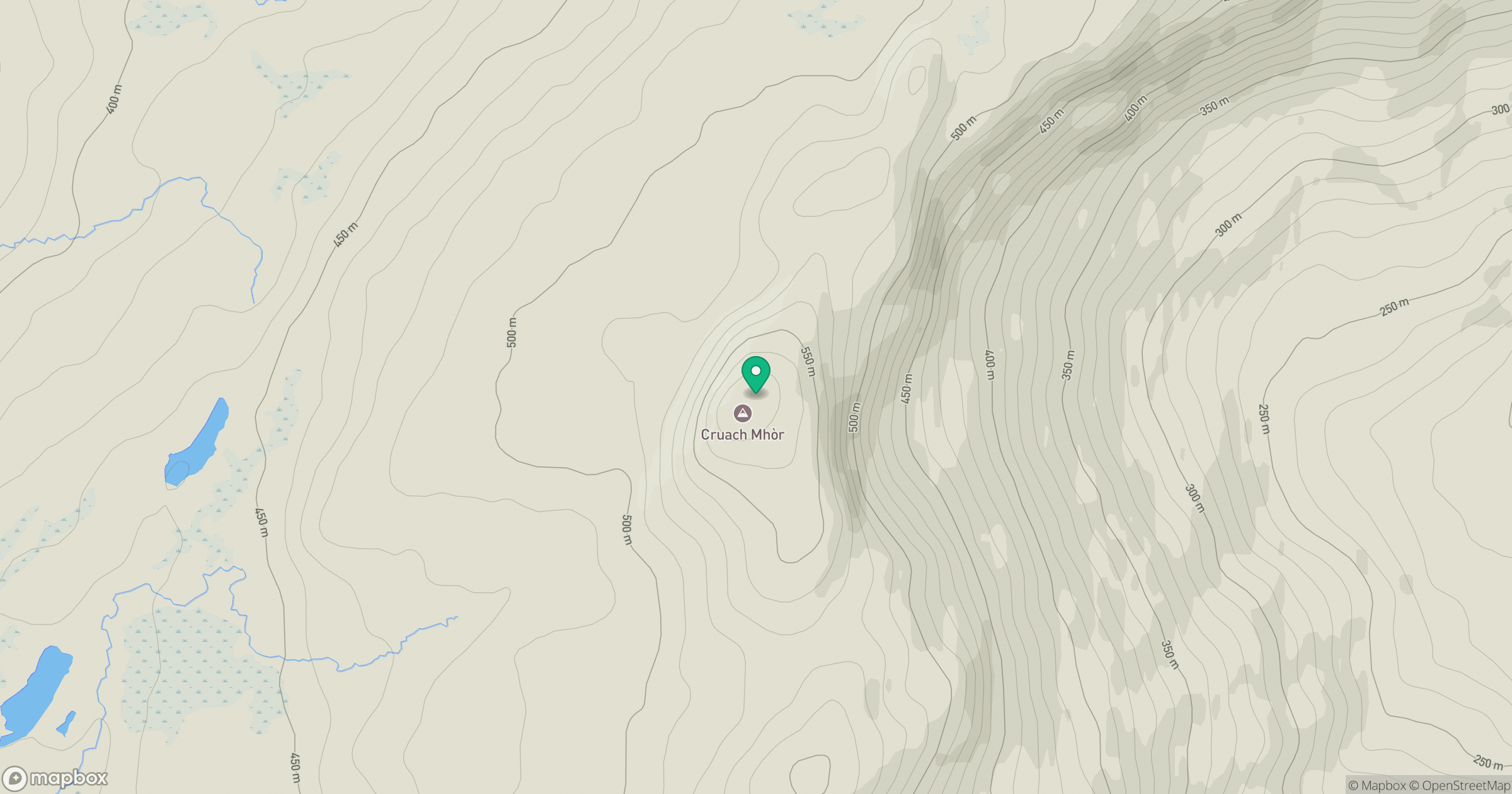
Grid reference: NN057147
View on OpenStreetMapOpens a map in a new tab, centred on the hill.
No comments yet. Be the first.