

Cronk-ny-Mona
Good walks are even better shared.
SC3879 : Cronk-ny-Mona
Rude Health Photo source
Overview
Cronk-ny-Mona: An Accessible Isle of Man Marvel
Situated at a respectable 393 meters, Cronk-ny-Mona might not be the highest peak on the Isle of Man, but it packs a punch when it comes to stunning views and rich geology. With its Marilyn designation, it offers an inviting adventure to hikers of all levels, ensuring you get the chance to stretch your legs and breathe in some fresh island air.
Geology
The geological composition here is primarily limestone and sedimentary rock. What does that mean for you? Well, alongside a delightful climb, you'll get to see fascinating rock formations. So, if you're into geology, or just like to collect rocks (who doesn’t?), you’re in for a treat!
Routes
Two popular routes lead up to the summit:
- From the B10 Road: A breezy 3.5 km hike that’s more of a stroll than a slog, perfect for families and those looking for an easy afternoon of walking.
- Cronk-ny-Mona from Ballaugh: If you fancy a bit of a challenge, try this moderate 5 km route that allows you to explore the lovely landscapes of the Isle of Man before ascending the hill.
Summit Features
Upon reaching the top, you'll find a robust trig point standing proud, alongside a few rustic stone markers. Great for a selfie! Don’t forget to take in the incredible views that spread all around you.
Terrain Type
Expect a delightful mix of grassy slopes and rocky subtleties, rolling hills covered in heather, and an occasional squelch through boggy patches—perfect for lightly testing your gait!
Views
Don't forget to stop and admire the breathtaking views from the summit; on a clear day, you can catch a glimpse of Snaefell and even the rugged mountains across the sea in Scotland! For the best views, consider visiting in spring or autumn when the light is just right, and the colours pop.
Hazards
While the paths are generally well-trodden, be wary of loose stones, especially if the weather has turned wet—a slip might lead to a minor mishap, and nobody wants that!
Access and Facilities
Parking is convenient along the B10 road, but don’t break local rules—nobody likes a parking ticket! The nearest town, Ballaugh, is a stone's throw away and boasts friendly local cafes and necessary amenities, though you're unlikely to find a cafe at the summit itself.
History
As for its name, Cronk-ny-Mona means 'Hill of the Bog' in the Manx language, neatly encapsulating the essence of its surroundings. Historically, it’s been significant for local farming practices that shaped the landscape.
So, lace up those hiking boots, grab a map, and don’t forget your sense of adventure as you head towards Cronk-ny-Mona. It’s sure to add a lovely chapter to your hiking stories!
Explore routes near Cronk-ny-Mona
Walks starting near this hill. Open a route to check its map, distance and full itinerary.
Kilsture Forest Woodpecker Trail
View route
Castle Ward: full Boundary Trail from the shore
View route
Kirkcudbright Harbour to Barrhill Woods Circuit
View route
Route planning notes
These notes describe possible approaches. Check a route's map and access information when planning your walk.
From the B10 Road
A straightforward ascent from the B10 road, providing a gentle climb with solid paths.
Cronk-ny-Mona from Ballaugh
A slightly longer but delightful route starting from Ballaugh, taking you through beautiful landscapes and adding a touch of adventure.
Make a day of it, together
Find someone to share the walk with, or organise a day out along a route you like.
Photo Gallery
View all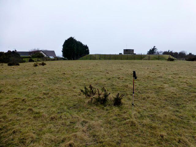 Photo could not load
SC3879 : Cronk-ny-Mona
Rude Health
Hill facts and local notes
Classifications
Elevation
153m
502 ft
Prominence
34m
Coordinates
54.1832, -4.4717
SC388792
OS Map
95
Explorer: IoM OL
At the Summit
The summit is marked by a simple yet sturdy trig point offering a perfect photo op for hikers. Additionally, there is a collection of stone markers that provide a sense of rustic charm.
Terrain & Geology
The island is primarily composed of limestone and sedimentary rocks that have created interesting formations over millennia. The summit provides a fascinating view of the local geology with its exposed rock outcrops.
Views & Scenery
Views of the Isle of Man's northern coast, including the peaks of Snaefell in the distance. On a clear day, the distant mountains of Scotland can also be seen.
History & Heritage
Name Origin
The name 'Cronk-ny-Mona' translates to 'Hill of the Bog' in Manx, a reference to the area's wetlands.
Historical Significance
Historically, the area has been a vital part of local agriculture and farming, with traditional practices still evident today.
Getting There & Facilities
Parking
Parking is available at the roadside near the B10, but be mindful of local parking regulations.
Public Transport
Local buses service nearby villages, with the nearest stop being in Ballaugh.
Nearby Facilities
There are no facilities directly on Cronk-ny-Mona, but local cafes and toilets can be found in Ballaugh.
Safety Information
Known Hazards
- Loosely packed stones may cause slips, particularly in wet weather. Always check the weather before heading out!
General Safety Tips
- Check weather conditions before setting out
- Carry appropriate clothing and equipment
- Let someone know your planned route
- Take a map, compass, and GPS device
- Carry emergency supplies: food, water, first aid kit, torch
Hills
Some common questions about the hills answered
Are there group walks up Cronk-ny-Mona?
Many walkers use Walkmates to join or organise walks with others. You can check for group walks around Cronk-ny-Mona through the maps
Are there other walkers around Cronk-ny-Mona?
Activity varies by location and time, but Walkmates lets you see whether others have shared walks or shown interest in this area. Find other people through the walking friends search walking friends for Cronk-ny-Mona search or of course create your own walk for Cronk-ny-Mona
Can I organise a walk to Cronk-ny-Mona?
Yes. If there aren’t any walks listed already, you can create a walk and make it available for others to join.
If you're signed up to Walkmates, you can create a walk to Cronk-ny-Mona.
How do I find a walk up this hill?
There are often multiple ways to walk this hill, depending on experience and route preference. Walkmates helps you explore walks and routes that others have shared.
Can I suggest a new route up Cronk-ny-Mona?
Yes. You can suggest or create routes to share with others. Walkmates focuses on the social side of walking, so routes are used to help people organise walks and explore areas together, rather than as detailed navigation tools or route libraries.
Other uses really appreciate knowledgeable walkers sharing their routes. Share your favourite route to Cronk-ny-Mona here
The is an error or something incorrect about this hill. How do I let you know?
We always strive to keep the information on Walkmates as accurate as possible. If you find an error, please let us know through the contact form and we'll aim to correct it as quickly as possible
Community Discussion
Comments
Location
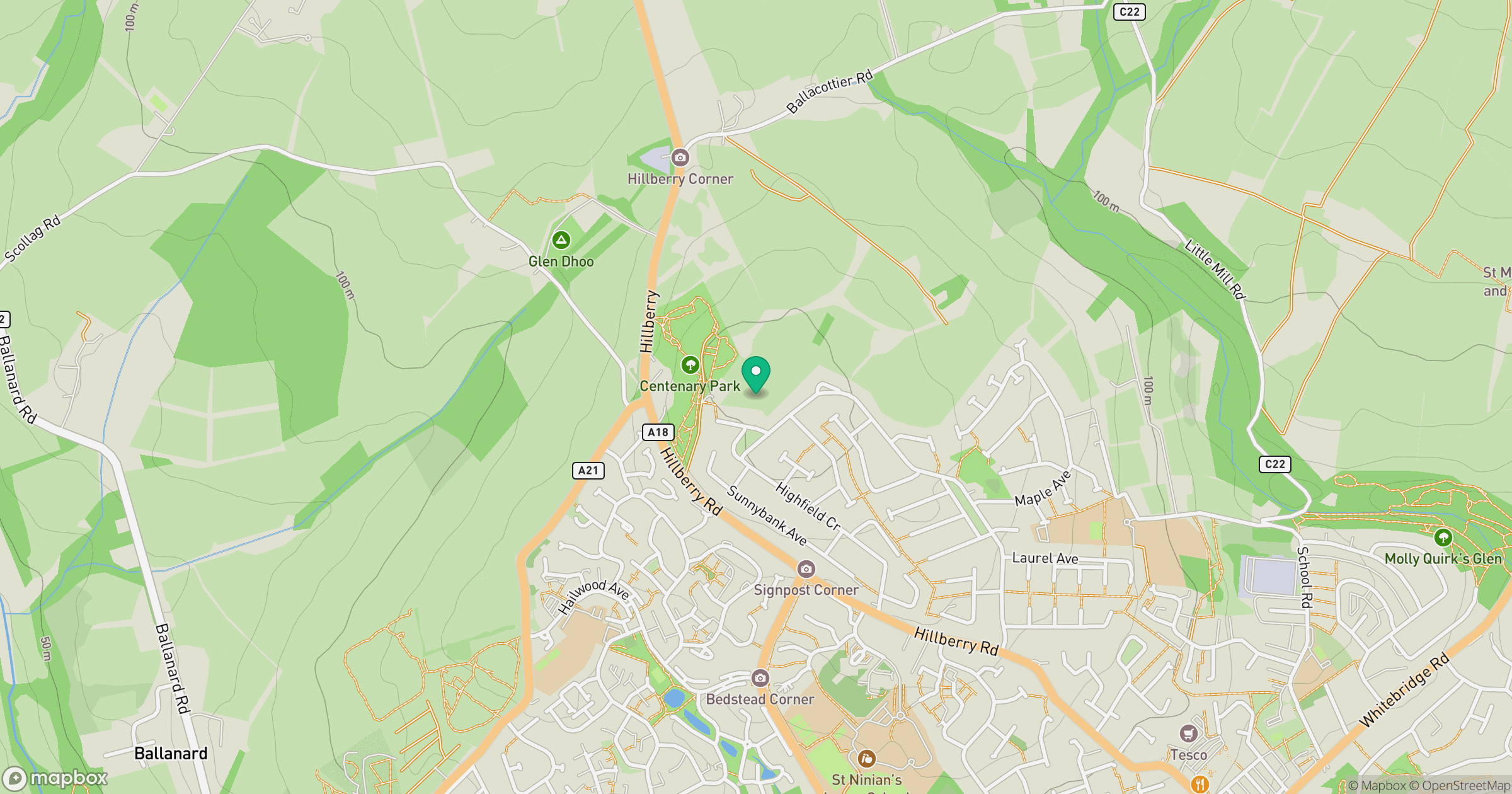
Grid reference: SC388792
View on OpenStreetMapOpens a map in a new tab, centred on the hill.
Nearby Hills
Snaefell
621m
Merrick
843m
Great Orme [Y Gogarth]
207m
Cairnsmore of Carsphairn
797m
Elidir Fawr
924m
No comments yet. Be the first.