

North Barrule
Good walks are even better shared.
SC4490 : Memorial Plaque
Anton Ciritis Photo source
Overview
North Barrule: Your Friendly Local Mountain
Tucked away in the stunning Isle of Man, North Barrule stands at a commendable 620 meters. Despite being overshadowed by the nearby Snaefell, it possesses a character all its own. With its steep slopes and rocky terrain, it is the perfect challenge for those looking to stretch their legs and enjoy some breathtaking views.
Geology
North Barrule's solid foundation of slate and sedimentary rock gives it that rugged edge hikers adore. The formations you’ll find here are remnants of ancient geological processes, which make each step feel like you're walking through history. Those with a keen eye might just spot some interesting patterns in the stones—perfect for photographers and geology buffs alike!
The Route
One of the most favoured paths begins along the B10 road. The well-trodden tracks take you through a variety of landscapes, from lush greenery to more barren rocky patches. The route stretches about 3.5 km, and with an ascent that takes roughly 1.5 hours, it's a perfect afternoon jaunt. Just keep an eye on the weather, as changes can sneak up on you fast!
Summit Features
Once you conquer that last uphill stretch, you’ll be greeted by a cheerful trig point waving at you. It's an excellent spot for selfies before you turn to take in the glorious views. Don’t forget, there’s also a nearby rocky outcrop for a more panoramic perspective—no Instagram filter necessary!
Terrain and Hazards
The terrain can be tricky; rocky outcrops can pose a minor challenge, especially after a shower when the ground becomes slippery. So, be sure your footing is secure—just think of it as Mother Nature’s way of keeping us on our toes! Also, pack some water and snacks as you won’t find any facilities on the mountain.
Nearby Summits
If you fancy a bit more adventure, Snaefell is just a stone's throw away, offering clubs and hikes for those with a bit more ambition.
Access
Parking is available on the B10 road, but it’s worth getting there early on weekends. If you prefer public transport, Douglas has reliable services that can get you close to the action. Just be sure to pop into town for some refreshments before your trek.
Conclusion
North Barrule embodies the quintessential Isle of Man charm with its stunning views and rich history. Whether you're a seasoned hiker or a casual walker, it's a perfect day out steeped in nature, history, and a bit of sweat. So put on those hiking boots and get ready to meet North Barrule—you might just find a new favourite spot!
Explore routes near North Barrule
Walks starting near this hill. Open a route to check its map, distance and full itinerary.
Kilsture Forest Woodpecker Trail
View route
Kirkcudbright Harbour to Barrhill Woods Circuit
View route
Steeple, Scoat Fell and Haycock from Ennerdale
View route
Kirroughtree Little Bruntis Lochs and Woodland Trail
View route
Route planning notes
These notes describe possible approaches. Check a route's map and access information when planning your walk.
North Barrule (from the B10 Road)
A popular route that begins from the B10 road, winding up through lush greenery and eventually leading to the rocky summit of North Barrule.
Make a day of it, together
Find someone to share the walk with, or organise a day out along a route you like.
Photo Gallery
View all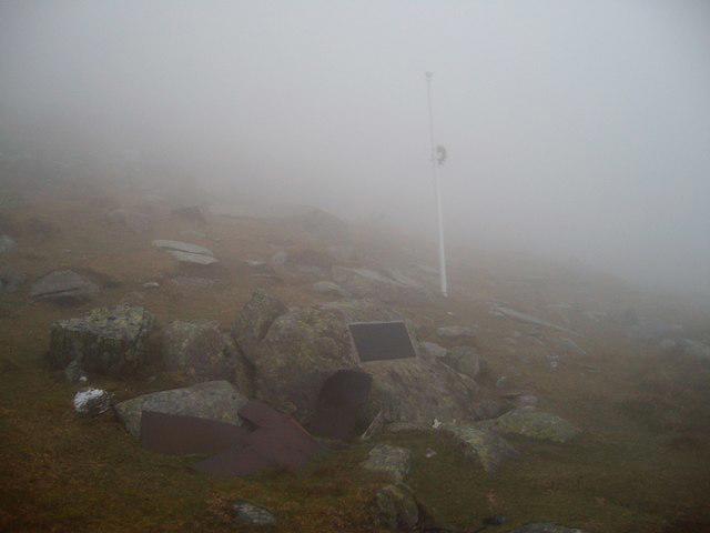 Photo could not load
SC4490 : Memorial Plaque
Anton Ciritis
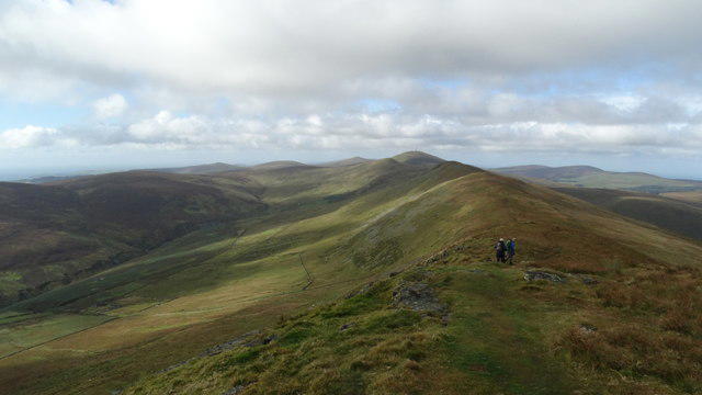 Photo could not load
SC4490 : View SW along North Barrule ridge towards Snaefell
Colin Park
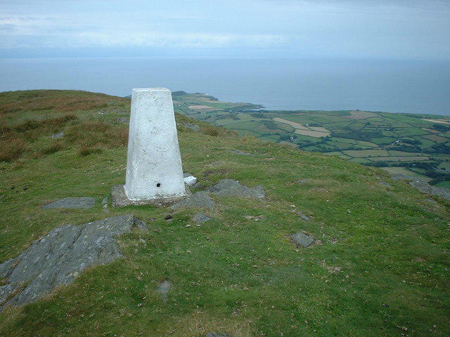 Photo could not load
SC4490 : Summit of North Barrule
Adie Jackson
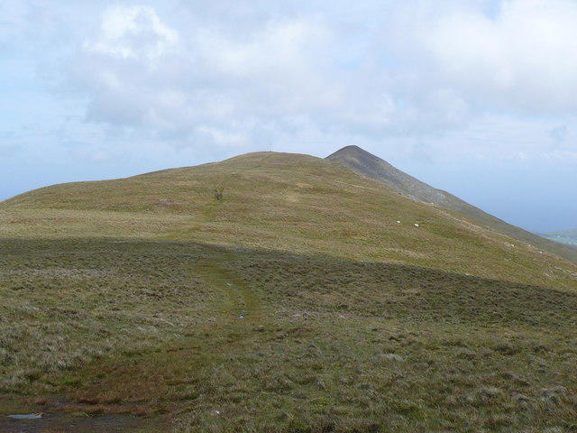 Photo could not load
SC4490 : Summit of North Barrule
Phil Catterall
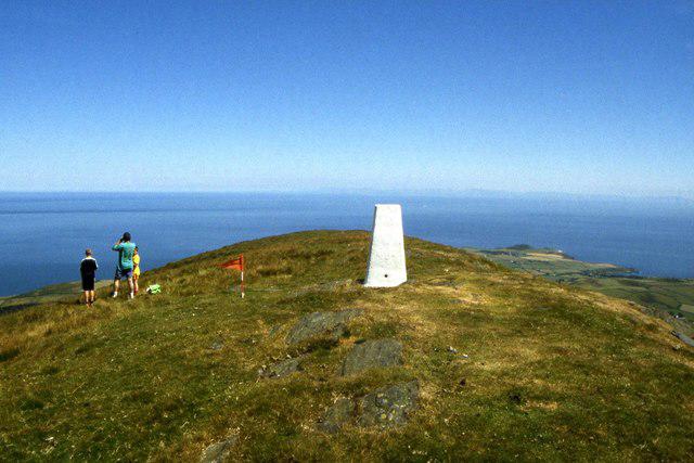 Photo could not load
SC4490 : Trig point on North Barrule
Colin Park
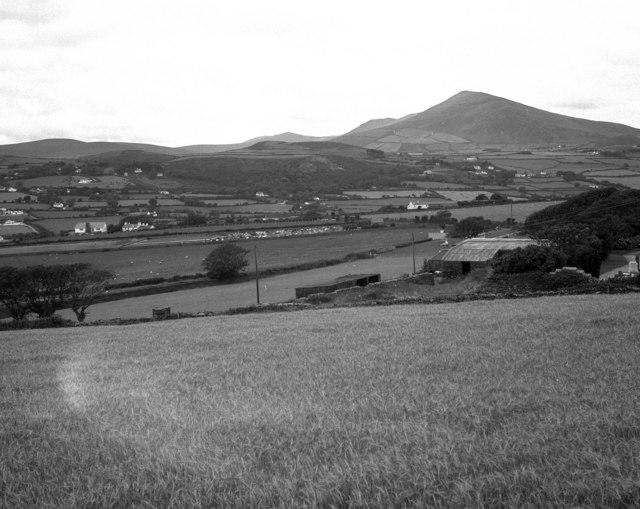 Photo could not load
SC4490 : North Barrule from the A15 near Ballasloe
Dr Neil Clifton
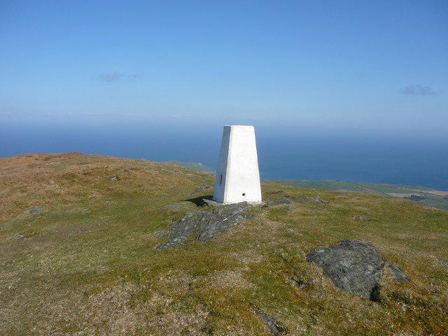 Photo could not load
SC4490 : Trig Point on North Barrule
Colin Park
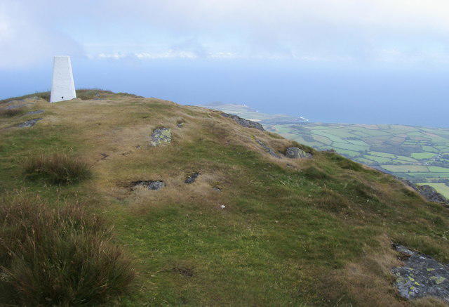 Photo could not load
SC4490 : North Barrule Summit
Shaun Ferguson
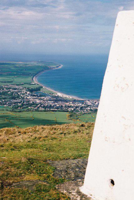 Photo could not load
SC4490 : North Barrule
Rude Health
Hill facts and local notes
Classifications
Elevation
565m
1,854 ft
Prominence
143m
Coordinates
54.2902, -4.3940
SC442909
OS Map
95
Explorer: IoM OL
At the Summit
The summit is marked by a prominent trig point, which often serves as a perfect photo op for hikers eager to boast about their conquest on social media. There is a rock outcrop nearby that provides a great vantage point for panoramic views.
Terrain & Geology
North Barrule is primarily composed of slate and sedimentary rock, formed during the Caledonian orogeny, which gives rise to its characteristic rugged terrain. The area is rich in geological history, with fascinating patterns visible in the rock faces.
Views & Scenery
From the summit, one can enjoy stunning panoramas of the surrounding landscape, including the incomparable Snaefell and the coastline of the Isle of Man. On clear days, you can even spot the distant hills of the Lake District.
History & Heritage
Name Origin
The name 'Barrule' is thought to derive from the Irish 'Beara' meaning 'hill' or 'mountain', making it a fittingly majestic title for such a notable peak.
Historical Significance
North Barrule is historically significant as it is believed to have been used as a lookout point during ancient times. Its strategic elevation provides an excellent observation platform.
Getting There & Facilities
Parking
There is parking available at the B10 road starting point, which accommodates a handful of cars. Arrive early on weekends to secure a spot!
Public Transport
Local bus services run from Douglas to nearby villages. Check the Isle of Man Transport website for updated routes and schedules.
Nearby Facilities
There are no facilities directly at North Barrule; however, you can find cafes and toilets in nearby Douglas before or after your hike. It’s advisable to carry sufficient water and snacks.
Safety Information
Known Hazards
- Be cautious of slippery rocks, especially after rainfall. The weather can change unexpectedly, so always prepare for a bit of rain, or as we say in the UK, ‘it’s only liquid sunshine’.
General Safety Tips
- Check weather conditions before setting out
- Carry appropriate clothing and equipment
- Let someone know your planned route
- Take a map, compass, and GPS device
- Carry emergency supplies: food, water, first aid kit, torch
Hills
Some common questions about the hills answered
Are there group walks up North Barrule?
Many walkers use Walkmates to join or organise walks with others. You can check for group walks around North Barrule through the maps
Are there other walkers around North Barrule?
Activity varies by location and time, but Walkmates lets you see whether others have shared walks or shown interest in this area. Find other people through the walking friends search walking friends for North Barrule search or of course create your own walk for North Barrule
Can I organise a walk to North Barrule?
Yes. If there aren’t any walks listed already, you can create a walk and make it available for others to join.
If you're signed up to Walkmates, you can create a walk to North Barrule.
How do I find a walk up this hill?
There are often multiple ways to walk this hill, depending on experience and route preference. Walkmates helps you explore walks and routes that others have shared.
Can I suggest a new route up North Barrule?
Yes. You can suggest or create routes to share with others. Walkmates focuses on the social side of walking, so routes are used to help people organise walks and explore areas together, rather than as detailed navigation tools or route libraries.
Other uses really appreciate knowledgeable walkers sharing their routes. Share your favourite route to North Barrule here
The is an error or something incorrect about this hill. How do I let you know?
We always strive to keep the information on Walkmates as accurate as possible. If you find an error, please let us know through the contact form and we'll aim to correct it as quickly as possible
Community Discussion
Comments
Location
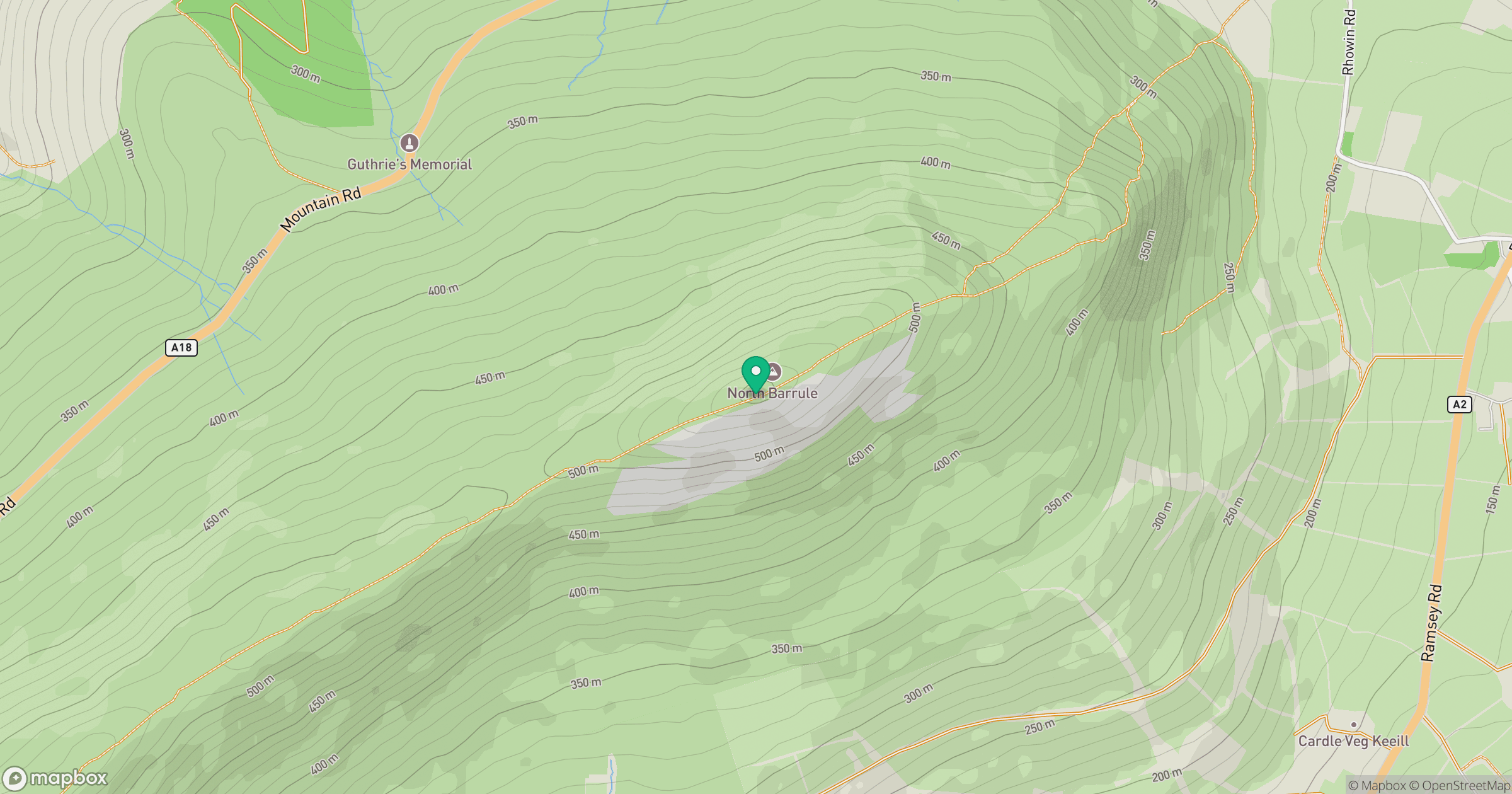
Grid reference: SC442909
View on OpenStreetMapOpens a map in a new tab, centred on the hill.
Nearby Hills
Snaefell
621m
Merrick
843m
Cairnsmore of Carsphairn
797m
Black Combe
600m
Great Orme [Y Gogarth]
207m
No comments yet. Be the first.