

South Barrule
Good walks are even better shared.
SC2575 : The path running west from South Barrule
Colin Park Photo source
Overview
South Barrule
Situated in the heart of the Isle of Man, South Barrule stands as a prominent feature of the skyline, beckoning hikers with its moderate challenge and stunning vistas. With an elevation of 564 meters, it might not be the tallest mountain on the isle, but it certainly packs a punch when it comes to scenic beauty.
Geology
The mountain's geology is intriguing, comprised predominantly of ancient volcanic rock. Hiking here is a geological treat, where layers of basalt and sandstone tell a story millions of years in the making. Keep an eye out for interesting rock formations along the paths.
Routes
Two popular routes lead hikers to the summit:
- Glen Rushen to South Barrule: A moderate 4.5-kilometre path that offers sweeping views and the thrill of ascent. Allow about 2.5 hours to enjoy the journey.
- The Southern Slopes Route: An easier option at 3.5 kilometres, ideal for those who prefer a quieter trek. This route typically takes around 2 hours.
Summit Features
At the peak, hikers will find a trig point, a remaining symbol from the surveyors who meticulously mapped this rugged landscape. The stone wall encircling it provides some shelter, perfect for a snack break and a chance to admire the views.
Terrain Type
The track varies from lush, grassy stretches to rocky patches, especially as you near the summit. It's advisable to wear sturdy footwear, particularly if you're not keen on embracing the local geology first-hand.
Views
The payoff is more than worth it! From the summit, panoramic views of the Isle of Man unfold in every direction. You might spot the distant cliffs of Maughold on a clear day or simply enjoy the green valleys and hills surrounding you.
Hazards
While the paths are generally clear, be cautious of loose stones underfoot, particularly while descending, and always check the weather before setting out—Manx weather can be as fickle as a cat on a hot tin roof!
Nearby Summits
If you fancy a longer day out, consider combining your hike with a trip to North Barrule, which towers above at 588 meters. Other nearby hills like Slieve Mish provide additional options for exploration.
Access
A small car park at Glen Rushen serves as the gateway for most hikers, with some public transport options available from Douglas or Port Erin. The nearest village, Foxdale, offers several post-hike facilities, but come prepared.
History
The name 'Barrule' roots back to ancient Gaelic languages, linking the mountain to its historical significance in local culture. Tales of folklore and legend often surround these high places, making South Barrule not just a hike, but a journey through time.
In conclusion, South Barrule is a splendid choice for anyone looking to enjoy both the physical and aesthetic rewards of a good hike in the Isle of Man. Just remember, when the going gets tough, channel your inner sheep and keep at it!
Explore routes near South Barrule
Walks starting near this hill. Open a route to check its map, distance and full itinerary.
Kilsture Forest Woodpecker Trail
View route
Newcastle, Co. Down (NI) with Men Walking & Talking
View route
Route planning notes
These notes describe possible approaches. Check a route's map and access information when planning your walk.
Glen Rushen to South Barrule
A popular route that starts in Glen Rushen and leads up to the summit of South Barrule, offering splendid views of the surrounding valleys.
The Southern Slopes Route
This less-trodden path trails along the southern slopes, providing a quieter experience away from the busier northern routes.
Make a day of it, together
Find someone to share the walk with, or organise a day out along a route you like.
Photo Gallery
View all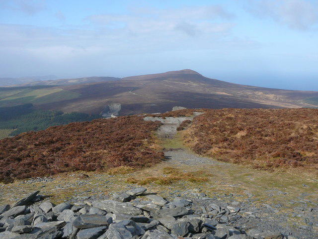 Photo could not load
SC2575 : The path running west from South Barrule
Colin Park
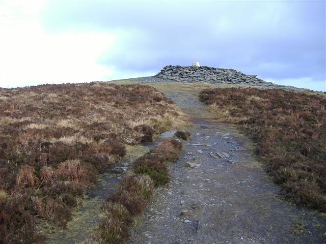 Photo could not load
SC2575 : Summit of South Barrule, Isle of Man
kevin rothwell
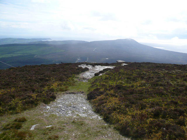 Photo could not load
SC2575 : Footpath leading off South Barrule
Phil Catterall
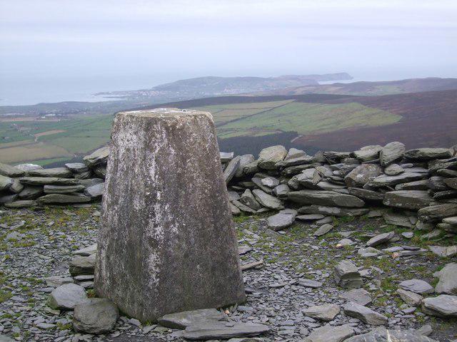 Photo could not load
SC2575 : Summit of South Barrule
Adie Jackson
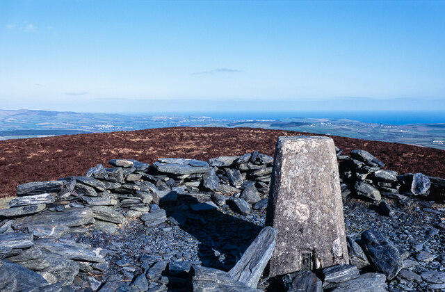 Photo could not load
SC2575 : Summit area of South Barrule with trig point
Trevor Littlewood
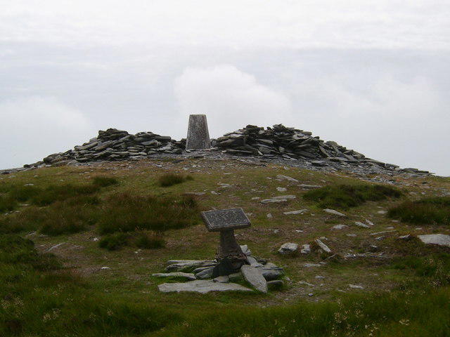 Photo could not load
SC2575 : South Barrule Summit
Bill Griffiths
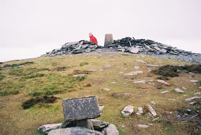 Photo could not load
SC2575 : South Barrule
Rude Health
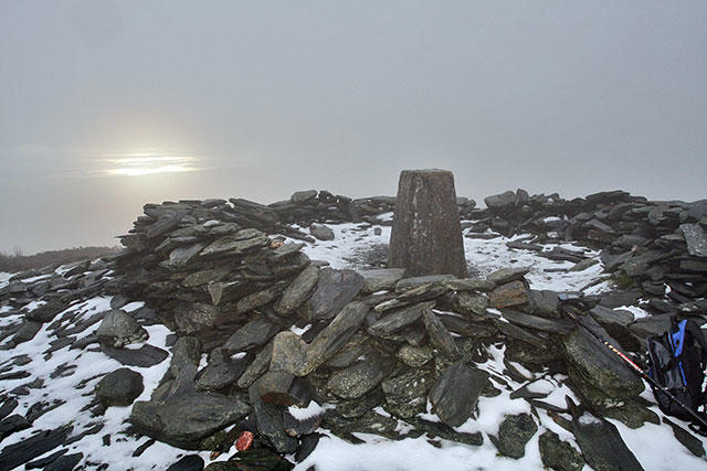 Photo could not load
SC2575 : South Barrule Summit and Trig pillar
Andy Stephenson
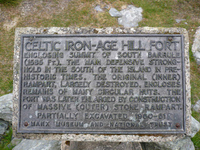 Photo could not load
SC2575 : Plaque on South Barrule
Phil Catterall
Hill facts and local notes
Classifications
Elevation
483m
1,585 ft
Prominence
436m
Coordinates
54.1495, -4.6693
SC257759
OS Map
95
Explorer: IoM OL
At the Summit
The summit features a prominent trig point, surrounded by a small stone wall serving as a windbreak. From here, you might also find the odd sheep who’s managed to wander up for a scenic view.
Terrain & Geology
South Barrule is primarily composed of ancient volcanic rock, giving it a rugged appearance. The diverse geology features layers of basalt and sandstone, making it a fascinating place for both geologists and casual walkers alike.
Views & Scenery
From the summit, you can gaze upon the great panoramas of the Isle of Man, including the distant peaks of the South and North Barrule, the coastline to the west, and on a clear day, the cliffs of Maughold.
History & Heritage
Name Origin
The name 'Barrule' comes from the ancient Gaelic word for 'height' or 'mountain'.
Historical Significance
South Barrule is not only significant for its natural beauty but also for its historical associations with local legends and folklore.
Getting There & Facilities
Parking
There is a small car park available near Glen Rushen, with space for about 15 vehicles. Arrive early on weekends, as it fills up quickly.
Public Transport
Bus routes from Douglas and Port Erin operate regularly to Glen Rushen, making it accessible for those using public transport.
Nearby Facilities
Although there are no facilities directly on the mountain, local villages nearby like Foxdale offer a few pubs and a café for post-hike refreshments.
Safety Information
Known Hazards
- Loose stones on the ascent can be tricky. Watch your step, as they have a tendency to roll. Also, be prepared for rapidly changing weather conditions, typical of this region.
General Safety Tips
- Check weather conditions before setting out
- Carry appropriate clothing and equipment
- Let someone know your planned route
- Take a map, compass, and GPS device
- Carry emergency supplies: food, water, first aid kit, torch
Hills
Some common questions about the hills answered
Are there group walks up South Barrule?
Many walkers use Walkmates to join or organise walks with others. You can check for group walks around South Barrule through the maps
Are there other walkers around South Barrule?
Activity varies by location and time, but Walkmates lets you see whether others have shared walks or shown interest in this area. Find other people through the walking friends search walking friends for South Barrule search or of course create your own walk for South Barrule
Can I organise a walk to South Barrule?
Yes. If there aren’t any walks listed already, you can create a walk and make it available for others to join.
If you're signed up to Walkmates, you can create a walk to South Barrule.
How do I find a walk up this hill?
There are often multiple ways to walk this hill, depending on experience and route preference. Walkmates helps you explore walks and routes that others have shared.
Can I suggest a new route up South Barrule?
Yes. You can suggest or create routes to share with others. Walkmates focuses on the social side of walking, so routes are used to help people organise walks and explore areas together, rather than as detailed navigation tools or route libraries.
Other uses really appreciate knowledgeable walkers sharing their routes. Share your favourite route to South Barrule here
The is an error or something incorrect about this hill. How do I let you know?
We always strive to keep the information on Walkmates as accurate as possible. If you find an error, please let us know through the contact form and we'll aim to correct it as quickly as possible
Community Discussion
Comments
Location
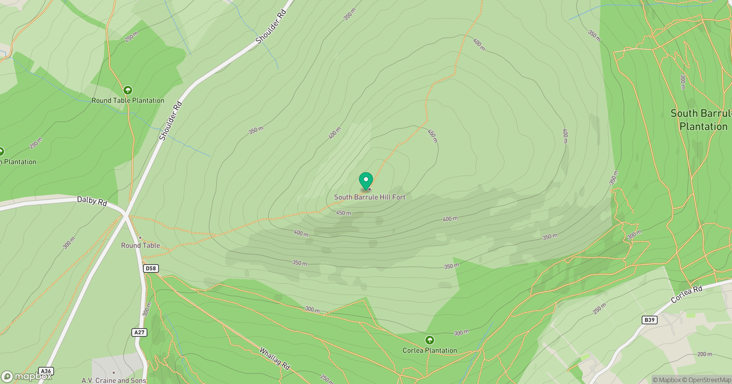
Grid reference: SC257759
View on OpenStreetMapOpens a map in a new tab, centred on the hill.
No comments yet. Be the first.