

Cronk ny Arrey Lhaa
Good walks are even better shared.
SC3499 : The Beach Below Cronk ny Arry Lhaa
Glyn Baker Photo source
Overview
Cronk ny Arrey Lhaa
Overview
Cronk ny Arrey Lhaa, towering at 682 meters, is a stunning Marilyn located on the picturesque Isle of Man. Its accessibility and charming views make it a popular destination for hikers looking to explore the natural beauty of the area. As you ascend, keep your eyes peeled for local wildlife and, of course, the region’s famous sheep!
Geology
The geology of Cronk ny Arrey Lhaa is quite fascinating, with limestone and slate comprising the bedrock. These materials are remnants of a bygone era, when this area was once beneath the sea. The unique geological formations tell a story of ancient marine life, and you might just find a fossil or two if you look closely!
Routes
One of the most popular routes to the summit is the Bridalway Route, spanning approximately 7.5 kilometers. It generally takes about 2.5 hours to traverse, depending on your pace. The trail is moderate in difficulty and is well-marked, ensuring a lovely hike through scenic surroundings.
Summit Features
Upon reaching the summit, hikers are greeted by a friendly cairn, a stone monument that doubles as a fantastic spot for resting and taking in the sweeping views. It's a perfect opportunity to catch your breath and snap that essential top-of-the-world photo.
Terrain
Expect varied terrain on your journey. You'll encounter grassy slopes, rocky outcrops, and possibly the odd muddy patch if the weather hasn’t been kind recently. Sturdy footwear is recommended, as those rocks can be a bit slippery!
Views
The views from the summit are nothing short of spectacular. You can take in the coastline of the Isle of Man, see nearby peaks like Snaefell, and gaze out across the Irish Sea. Bright sunny days in spring and autumn are particularly splendid for enjoying these picturesque panoramas.
Hazards
Hiking can come with a few surprises, especially on the Isle of Man. Be cautious of changing weather patterns; it’s not unusual for the visibility to vanish as quickly as your lunch if a cloud rolls in. And don't forget the sheep—keep an eye out, because these fluffy creatures have an uncanny ability to pop up when you least expect it!
Access
There’s parking available at Ballaglass Glen car park, the perfect starting point for your adventure. If you prefer public transport, there are regular bus services from Douglas to Dalby, making logistics a breeze.
Facilities
After conquering the climb, reward yourself with a visit to one of the charming cafes in Peel, where you can enjoy a well-deserved slice of cake and a steaming hot beverage.
History
The name 'Cronk ny Arrey Lhaa' translates to 'the hill of the long sheep' in Manx Gaelic. This name hints at the area’s rich agricultural heritage, particularly its sheep farming past. As you hike, reflect on the long-standing history of this land and its enduring connection to nature.
So grab your walking stick, lace up your boots, and set off for an adventure on Cronk ny Arrey Lhaa — it’s bound to be a blast!
Happy hiking!
Explore routes near Cronk ny Arrey Lhaa
Walks starting near this hill. Open a route to check its map, distance and full itinerary.
Kilsture Forest Woodpecker Trail
View route
Kirkcudbright Harbour to Barrhill Woods Circuit
View route
Kirroughtree Little Bruntis Lochs and Woodland Trail
View route
Knockman Wood Cairn and Woodland Trail
View route
Route planning notes
These notes describe possible approaches. Check a route's map and access information when planning your walk.
Bridalway Route
A well-defined bridleway leading to the summit, offering lovely views and a pleasant hike.
Make a day of it, together
Find someone to share the walk with, or organise a day out along a route you like.
Photo Gallery
View all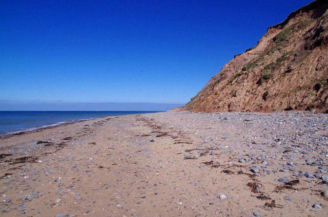 Photo could not load
SC3499 : The Beach Below Cronk ny Arry Lhaa
Glyn Baker
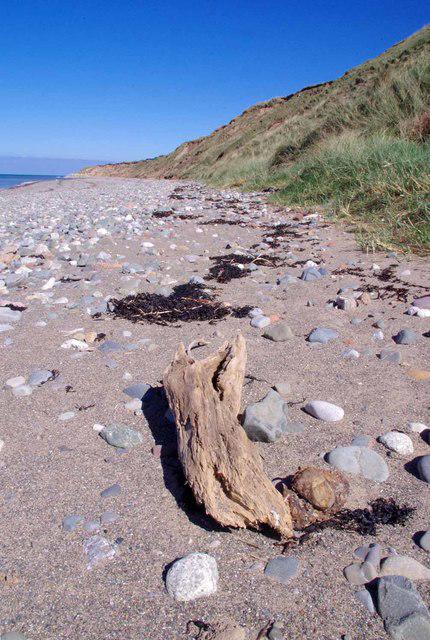 Photo could not load
SC3499 : Driftwood on The Beach Near Cronk ny Arry Lhaa
Glyn Baker
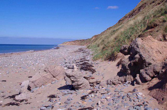 Photo could not load
SC3499 : Cliff Fall Below Cronk ny Arry Lhaa
Glyn Baker
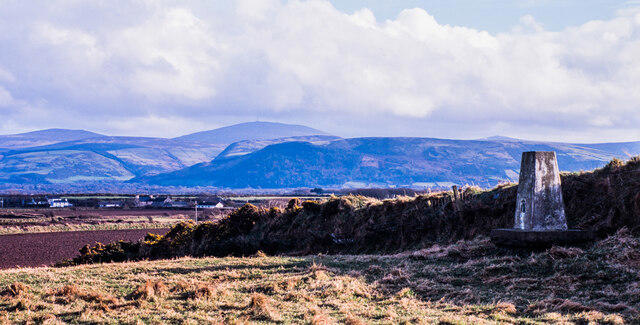 Photo could not load
SC3499 : Trig point of Sartfield
Trevor Littlewood
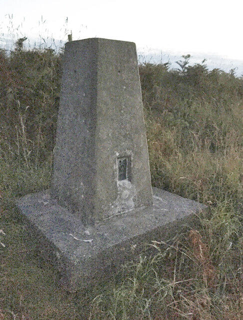 Photo could not load
SC3499 : Sartfield Trig Point Flush Bracket 11210
thejackrustles
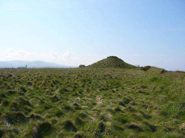 Photo could not load
SC3499 : Cronk ny Arrey Lhaa Tumulus
Colin Park
Hill facts and local notes
Classifications
Elevation
39m
128 ft
Prominence
28m
Coordinates
54.3606, -4.5424
SC349991
OS Map
95
Explorer: IoM OL
At the Summit
The summit is marked by a prominent cairn, which serves as a great spot for a well-deserved selfie.
Terrain & Geology
The mountain is primarily composed of limestone and slate, remnants of ancient marine environments, which offers a fascinating glimpse into the Earth's geological history.
Views & Scenery
On a clear day, you can see the coast of the Isle of Man, the surrounding hills, and the vast Irish Sea. Look out for the famous Snaefell in the distance as well!
History & Heritage
Name Origin
In Manx Gaelic, 'Cronk' means hill, while 'ny Arrey Lhaa' translates to 'the hill of the long sheep', possibly a nod to the area's sheep farming history.
Historical Significance
Cronk ny Arrey Lhaa is notable for its accessibility and scenic beauty, making it a cherished destination for both locals and visitors.
Getting There & Facilities
Parking
There is ample parking near the start of the Bridalway Route at the Ballaglass Glen car park.
Public Transport
Regular bus services run from Douglas to Dalby, with a short walk to the start of the route.
Nearby Facilities
A delightful cafe can be found in the town of Peel, offering a perfect post-hike cuppa and slice of cake.
Safety Information
Known Hazards
- Be wary of sudden weather changes, as visibility can quickly diminish in the Isle of Man. Also, watch out for sheep - they have an uncanny ability to appear out of nowhere!
General Safety Tips
- Check weather conditions before setting out
- Carry appropriate clothing and equipment
- Let someone know your planned route
- Take a map, compass, and GPS device
- Carry emergency supplies: food, water, first aid kit, torch
Hills
Some common questions about the hills answered
Are there group walks up Cronk ny Arrey Lhaa?
Many walkers use Walkmates to join or organise walks with others. You can check for group walks around Cronk ny Arrey Lhaa through the maps
Are there other walkers around Cronk ny Arrey Lhaa?
Activity varies by location and time, but Walkmates lets you see whether others have shared walks or shown interest in this area. Find other people through the walking friends search walking friends for Cronk ny Arrey Lhaa search or of course create your own walk for Cronk ny Arrey Lhaa
Can I organise a walk to Cronk ny Arrey Lhaa?
Yes. If there aren’t any walks listed already, you can create a walk and make it available for others to join.
If you're signed up to Walkmates, you can create a walk to Cronk ny Arrey Lhaa.
How do I find a walk up this hill?
There are often multiple ways to walk this hill, depending on experience and route preference. Walkmates helps you explore walks and routes that others have shared.
Can I suggest a new route up Cronk ny Arrey Lhaa?
Yes. You can suggest or create routes to share with others. Walkmates focuses on the social side of walking, so routes are used to help people organise walks and explore areas together, rather than as detailed navigation tools or route libraries.
Other uses really appreciate knowledgeable walkers sharing their routes. Share your favourite route to Cronk ny Arrey Lhaa here
The is an error or something incorrect about this hill. How do I let you know?
We always strive to keep the information on Walkmates as accurate as possible. If you find an error, please let us know through the contact form and we'll aim to correct it as quickly as possible
Community Discussion
Comments
Location
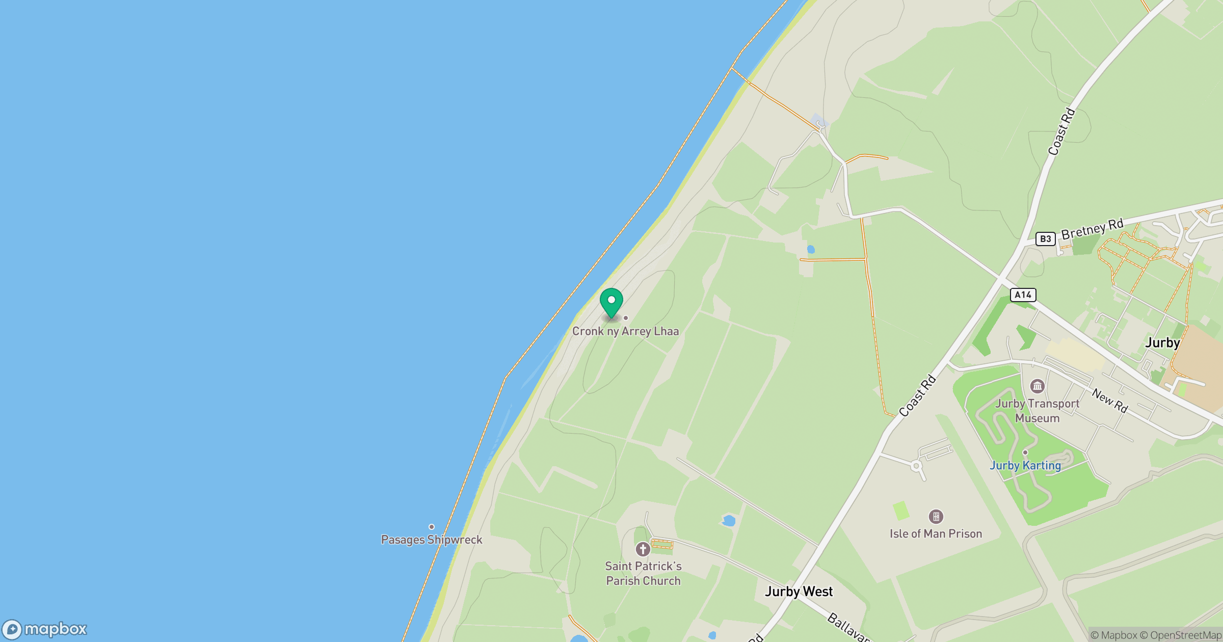
Grid reference: SC349991
View on OpenStreetMapOpens a map in a new tab, centred on the hill.
No comments yet. Be the first.