

Cribarth
Good walks are even better shared.
SN8314 : Old quarry tramroad
Alan Hughes Photo source
Overview
Overview
Cribarth is a stunning peak located in the heart of the Brecon Beacons National Park, known for its curious geological features and breathtaking views. Standing at 610 meters, it is a Marilyn that attracts outdoor enthusiasts from around the region.
Geology
The mountain is primarily made up of ancient sandstone, which forms everything from steep cliffs to gentle grassy slopes. Cribarth's unique structure is a result of past glacial activity, leaving behind a rugged landscape that hikers can explore.
Routes
Cribarth offers a variety of walking routes, catering to different abilities. The Cribarth Circular Walk is perfect for families and casual hikers, while the Direct North Ascent gives a challenging option for seasoned walkers. Either way, you're in for a treat!
Views
Once you reach the top, prepare to be wowed! The summit provides magnificent views of the Black Mountain and expansive valleys. The best seasons to take in these sights are spring or autumn. A sunrise trek can also be magical, so pack your granola bar and set your alarm!
Hazards
While Cribarth is a fantastic walk, it’s wise to remember that the weather can change faster than you can say 'hidden summit'. Dress appropriately and be prepared for slippery paths.
Access
Parking is available at SN836147, with Ystradgynlais being the nearest town for amenities. Explore local cafes after your hike, and don’t skimp on that much-needed coffee!
History
The name 'Cribarth' says it all, reflecting the region's deep connection to the landscape. It's a cherished spot for both history and nature lovers alike.
In conclusion, Cribarth is a gem that offers both challenge and beauty, making every step worthwhile. So grab your boots, and take a hike—your adventure awaits!
Explore routes near Cribarth
Walks starting near this hill. Open a route to check its map, distance and full itinerary.
Aircraft Crash Site - Wellington Bomber and Vampire Jet (Black Mountain range)
View route
Usk Reservoir: Glasfynydd Forest and Dam Circuit
View route
Pen y Fan via Corn Du from Storey Arms
View route
Swansea Canal: Coed Gwilym Park to Pontardawe Aqueduct
View route
Route planning notes
These notes describe possible approaches. Check a route's map and access information when planning your walk.
Cribarth Circular Walk
This popular circular route offers a gentle ascent with stunning views, taking you around the base before tackling the summit.
Direct North Ascent
A steeper, more challenging ascent straight to the summit for the adventurous souls looking to break a sweat.
Make a day of it, together
Find someone to share the walk with, or organise a day out along a route you like.
Photo Gallery
View all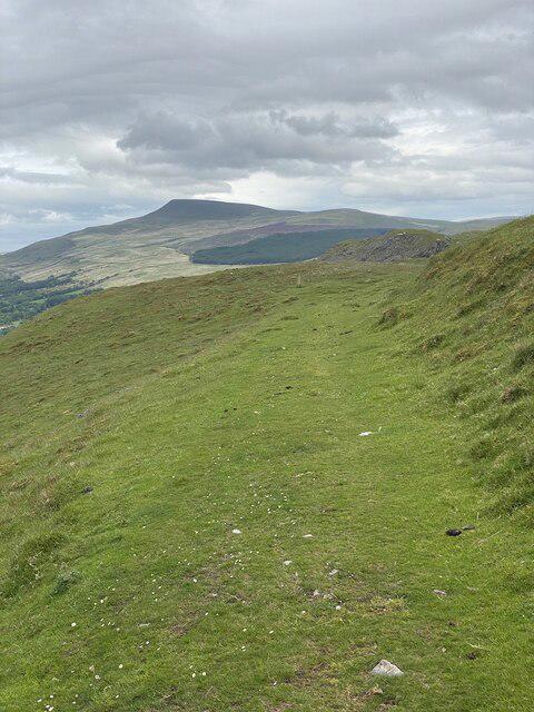 Photo could not load
SN8314 : Old quarry tramroad
Alan Hughes
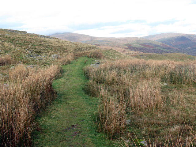 Photo could not load
SN8314 : Hen Ddramffordd / Old tramroad
Alan Richards
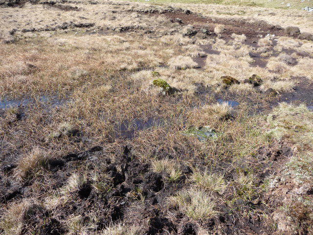 Photo could not load
SN8314 : Bog below Cribarth
Jeremy Bolwell
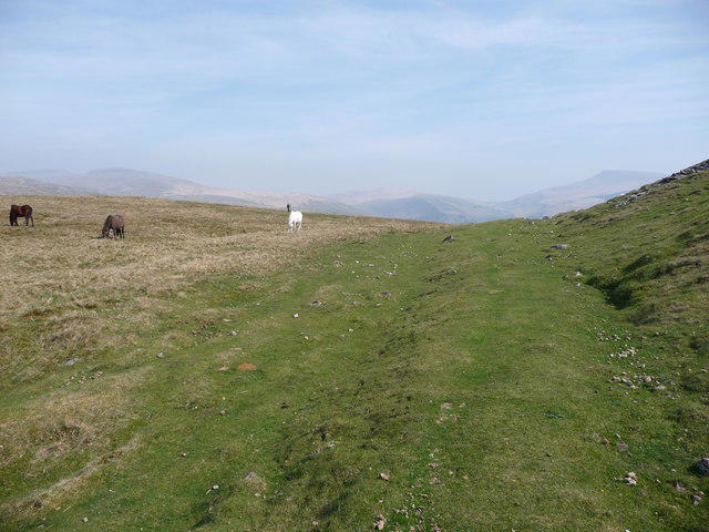 Photo could not load
SN8314 : Wild ponies graze beside an old quarry tramway
Jeremy Bolwell
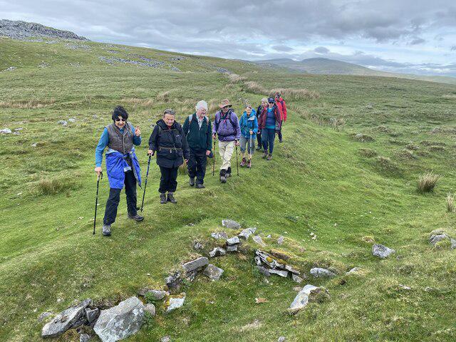 Photo could not load
SN8314 : Remains of a lime kiln
Alan Hughes
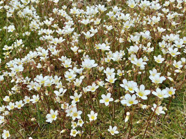 Photo could not load
SN8314 : A carpet of saxifrage
Alan Hughes
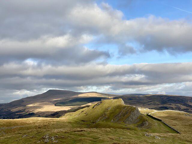 Photo could not load
SN8314 : View from Cribarth towards Fan Gyhirych
Alan Hughes
Hill facts and local notes
Classifications
Elevation
428m
1,404 ft
Prominence
61m
Coordinates
51.8156, -3.6969
SN831143
OS Map
160
Explorer: OL12W
At the Summit
The summit boasts a prominent trig point, offering a perfect vantage point for panoramic views of the surrounding landscapes, ideal for those Instagram moments!
Terrain & Geology
Composed predominantly of sandstone, Cribarth features dramatic cliffs and crags that are a testament to ancient geological processes. The rugged landscape was shaped by glacial activity, leading to its striking profile.
Views & Scenery
From the summit, enjoy vistas of the far-reaching Black Mountain and the stunning Usk Valley. On clear days, you can even spot the distant silhouette of Pen y Fan.
History & Heritage
Name Origin
The name 'Cribarth' translates to 'the ridge of the hill', aptly describing its features. Though no fancy title here, it’s certainly a name worth recognising.
Historical Significance
Cribarth has been a beloved landmark in the area, frequently visited by hikers, and carries cultural significance among local communities for its natural beauty and climbing challenges.
Getting There & Facilities
Parking
There is a small car park off the A4067 at SN836147, which can fill up quickly on weekends. Arrive early to secure a space and start your adventure without the hassle.
Public Transport
Buses run from nearby towns, with services available from Ystradgynlais to the A4067. Check local schedules for the latest times.
Nearby Facilities
While there are no facilities directly on Cribarth, Ystradgynlais offers cafes and toilets, providing a warm welcome to tired hikers. Don't forget to treat yourself after a long walk!
Safety Information
Known Hazards
- Be mindful of sudden weather changes; conditions can shift quickly. Wet or icy paths may be present after rainfall or during winter, making the terrain slippery.
General Safety Tips
- Check weather conditions before setting out
- Carry appropriate clothing and equipment
- Let someone know your planned route
- Take a map, compass, and GPS device
- Carry emergency supplies: food, water, first aid kit, torch
Hills
Some common questions about the hills answered
Are there group walks up Cribarth?
Many walkers use Walkmates to join or organise walks with others. You can check for group walks around Cribarth through the maps
Are there other walkers around Cribarth?
Activity varies by location and time, but Walkmates lets you see whether others have shared walks or shown interest in this area. Find other people through the walking friends search walking friends for Cribarth search or of course create your own walk for Cribarth
Can I organise a walk to Cribarth?
Yes. If there aren’t any walks listed already, you can create a walk and make it available for others to join.
If you're signed up to Walkmates, you can create a walk to Cribarth.
How do I find a walk up this hill?
There are often multiple ways to walk this hill, depending on experience and route preference. Walkmates helps you explore walks and routes that others have shared.
Can I suggest a new route up Cribarth?
Yes. You can suggest or create routes to share with others. Walkmates focuses on the social side of walking, so routes are used to help people organise walks and explore areas together, rather than as detailed navigation tools or route libraries.
Other uses really appreciate knowledgeable walkers sharing their routes. Share your favourite route to Cribarth here
The is an error or something incorrect about this hill. How do I let you know?
We always strive to keep the information on Walkmates as accurate as possible. If you find an error, please let us know through the contact form and we'll aim to correct it as quickly as possible
Community Discussion
Comments
Location
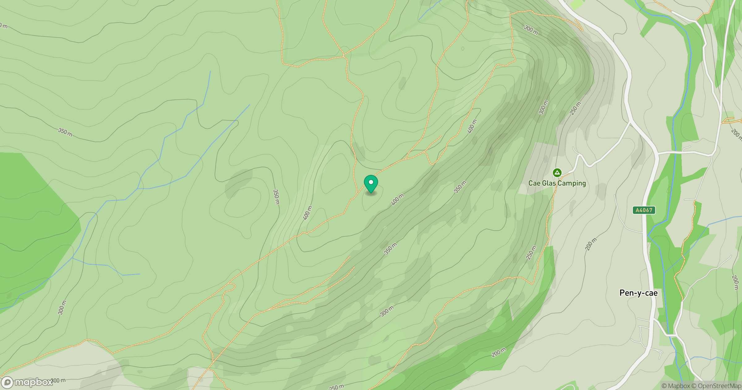
Grid reference: SN831143
View on OpenStreetMapOpens a map in a new tab, centred on the hill.


No comments yet. Be the first.