

Chinthurst Hill
Good walks are even better shared.
TQ0145 : Well on Chinthurst Hill
Colin Smith Photo source
Overview
Chinthurst Hill: A Hidden Gem in the Surrey Hills
Chinthurst Hill, with an elevation of 128 meters, is a delightful Marilyn located in the picturesque Surrey Hills Area of Outstanding Natural Beauty. This hill may not be towering, but it's packed with charm and the promise of adventure. Those who venture here will find not only a place to stretch their legs but also stunning views that’ll make your walking boots feel proud.
Geology
The geology of Chinthurst Hill is primarily comprised of charming Surrey Hills sandstone mixed with clay, which creates a varied landscape ideal for exploring. As you hike up, take a moment to appreciate the rock formations that have been sculpted over eons. If you’re an amateur geologist or just love a good rock, this area won’t disappoint!
Routes
One popular route is the Chinthurst Hill Circular Route, a moderate trail that stretches about 5 kilometers. It’s perfect for a leisurely afternoon hike, taking roughly an hour and a half. Along the way, you’ll traverse lush woodlands and grassy areas that appeal to both seasoned hikers and those just looking for a break from the daily grind.
Summit Features
Reaching the summit, you'll be greeted by a trig point standing tall—just the right height for a selfie or two! There’s also a cozy stone bench, ideal for enjoying a snack while soaking in the views.
Terrain and Views
The terrain is primarily grassy, with rocky outcrops that provide varied hiking experiences. From the summit, breathtaking panoramas await: the Weald sprawls beneath you, and if luck is on your side, the South Downs may dance into view on a clear day.
Hazards
While the walk is enjoyable, do keep an eye on your footing—some paths can get slippery, especially after a downpour. Hidden roots and loose stones could surprise the unwary, so stay alert.
Nearby Summits
For those with a penchant for ticking off various hills, the nearby Holmbury Hill and Leith Hill offer additional opportunities for exploration, both of which can be accessed with a bit more legwork.
Access and Facilities
Access is simple, with parking available at the Chinthurst Hill car park. Public transport is feasible through bus services from Haslemere Train Station, which sits around 3 miles away. Once you return to town, Haslemere boasts an array of facilities including charming cafes and pubs for a well-deserved pint or cup of tea!
History
The name 'Chinthurst' has intriguing roots, meaning 'hill of the chin'—a whimsical nod, perhaps, to the hill's curvy profile. Throughout history, Chinthurst Hill has witnessed plenty, from prehistoric settlements to its role during the Saxon era.
Conclusion
In short, Chinthurst Hill may not be the highest peak out there, but its accessible beauty and rich tapestry of history make it a must-visit for any nature lover. Lace up those boots and enjoy the great outdoors—who knows, adventure might be just around the corner!
Explore routes near Chinthurst Hill
Walks starting near this hill. Open a route to check its map, distance and full itinerary.
Winkworth Arboretum: woodland and Rowe’s Flashe lake
View route
Leith Hill: woodland circuit from Starveall Corner
View route
Prospects of Polesden from Denbies Hillside
View route
Frimley Lodge Park to Mytchett Lake and Great Bottom Flash
View route
Route planning notes
These notes describe possible approaches. Check a route's map and access information when planning your walk.
Chinthurst Hill Circular Route
A lovely circular walk that takes you around the hill, offering views of the Surrey Hills' lush landscapes and woodland paths.
Make a day of it, together
Find someone to share the walk with, or organise a day out along a route you like.
Photo Gallery
View all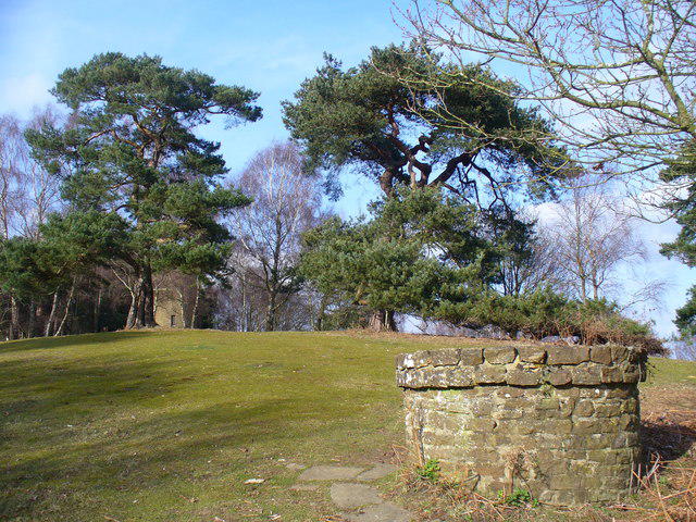 Photo could not load
TQ0145 : Well on Chinthurst Hill
Colin Smith
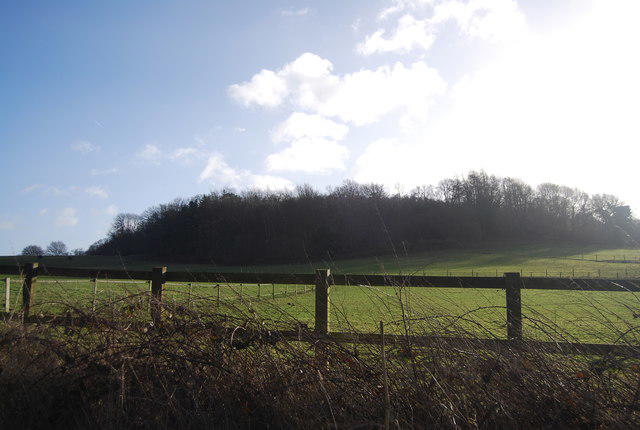 Photo could not load
TQ0145 : Chinthurst Hill
N Chadwick
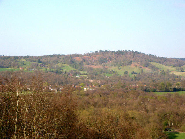 Photo could not load
TQ0145 : St Martha's Hill from Chinthurst Hill
Clare
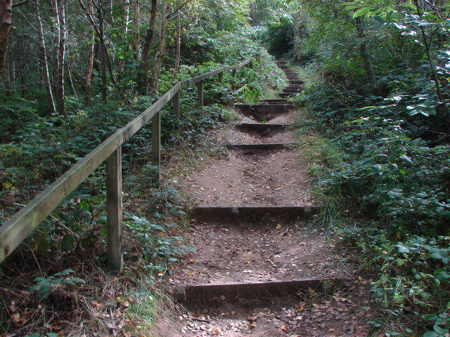 Photo could not load
TQ0145 : Steps up Chinthurst Hill
Alan Hunt
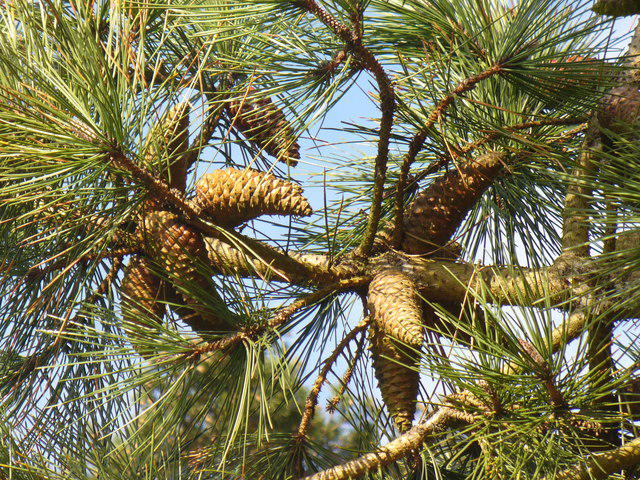 Photo could not load
TQ0145 : Pine Cones, Chinthurst Hill
Colin Smith
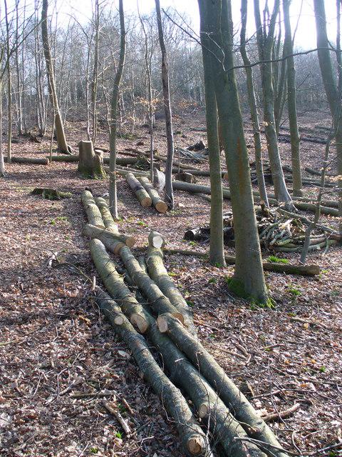 Photo could not load
TQ0145 : Logging on Chinthurst Hill
Colin Smith
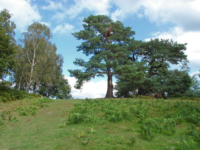 Photo could not load
TQ0145 : Pine trees, Chinthurst Hill
Alan Hunt
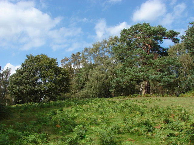 Photo could not load
TQ0145 : Open woodland, Chinthurst Hill
Alan Hunt
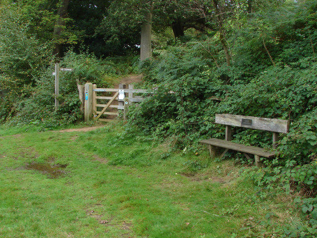 Photo could not load
TQ0145 : Gate and bench, Chinthurst Hill
Alan Hunt
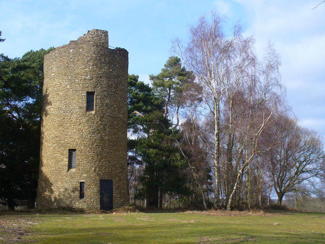
TQ0145 : Chinthurst Hill Folly
Colin Smith
Hill facts and local notes
Classifications
Elevation
121m
397 ft
Prominence
72m
Coordinates
51.2028, -0.5514
TQ013458
OS Map
186
Explorer: 145
At the Summit
The summit boasts a charming trig point and a small stone bench to admire the surrounding views, making it a perfect spot for a breather and a sandwich.
Terrain & Geology
Chinthurst Hill is predominantly composed of Surrey Hills' sandstone and clay, creating a uniquely rugged terrain that can feel like an adventure playground for outdoor lovers. The diverse geology supports a variety of flora and fauna, and if you look closely, you may spot some fascinating rock formations.
Views & Scenery
From the summit, you can enjoy views of the Weald, the North Downs, and in clear weather, a glimpse of the South Downs in the distance.
History & Heritage
Name Origin
The name Chinthurst is derived from Old English, meaning 'hill of the chin', possibly referring to the shape of the hill or the view it offers.
Historical Significance
Chinthurst Hill has a rich history, with evidence of prehistoric occupation and significance during the Saxon and medieval periods.
Getting There & Facilities
Parking
The nearest parking is at the Chinthurst Hill car park (TQ 012 455), providing easy access to trails leading up the hill.
Public Transport
Haslemere is the closest railway station, approximately 3 miles away, with bus services connecting to local villages.
Nearby Facilities
No direct facilities on the hill; however, Haslemere offers cafes, pubs, and shops for refreshments and toilet facilities.
Safety Information
Known Hazards
- Care should be taken on slippery paths, especially after rain. Occasional loose stones and roots can be hidden beneath foliage.
General Safety Tips
- Check weather conditions before setting out
- Carry appropriate clothing and equipment
- Let someone know your planned route
- Take a map, compass, and GPS device
- Carry emergency supplies: food, water, first aid kit, torch
Hills
Some common questions about the hills answered
Are there group walks up Chinthurst Hill?
Many walkers use Walkmates to join or organise walks with others. You can check for group walks around Chinthurst Hill through the maps
Are there other walkers around Chinthurst Hill?
Activity varies by location and time, but Walkmates lets you see whether others have shared walks or shown interest in this area. Find other people through the walking friends search walking friends for Chinthurst Hill search or of course create your own walk for Chinthurst Hill
Can I organise a walk to Chinthurst Hill?
Yes. If there aren’t any walks listed already, you can create a walk and make it available for others to join.
If you're signed up to Walkmates, you can create a walk to Chinthurst Hill.
How do I find a walk up this hill?
There are often multiple ways to walk this hill, depending on experience and route preference. Walkmates helps you explore walks and routes that others have shared.
Can I suggest a new route up Chinthurst Hill?
Yes. You can suggest or create routes to share with others. Walkmates focuses on the social side of walking, so routes are used to help people organise walks and explore areas together, rather than as detailed navigation tools or route libraries.
Other uses really appreciate knowledgeable walkers sharing their routes. Share your favourite route to Chinthurst Hill here
The is an error or something incorrect about this hill. How do I let you know?
We always strive to keep the information on Walkmates as accurate as possible. If you find an error, please let us know through the contact form and we'll aim to correct it as quickly as possible
Community Discussion
Comments
Location
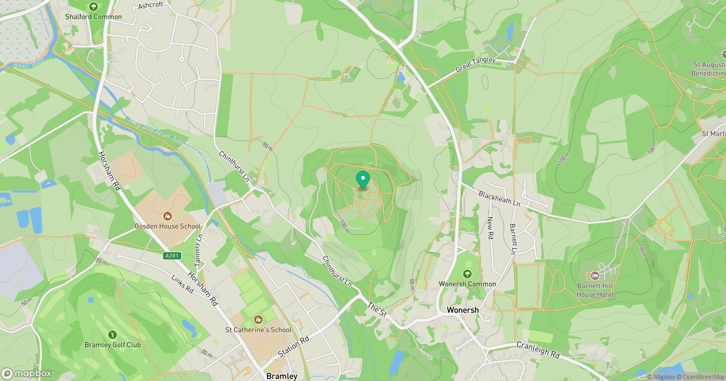
Grid reference: TQ013458
View on OpenStreetMapOpens a map in a new tab, centred on the hill.
Nearby Hills
Leith Hill
294m
Ditchling Beacon
248m
Worcestershire Beacon
425m
Glastonbury Tor
158m
Titterstone Clee Hill
533m
No comments yet. Be the first.