Circular
Medium
Box Hill - Stepping Stones Circuit
PaulWalkmates
Walk organiser

Leith Hill Group Walks | Join a Walk
Join group walks, find walking companions and friends, or organise your own!
Don't walk alone! Find friendly walkers to explore Leith Hill together. Join scheduled group walks or start your own.
Elevation
294m
965 ft
Prominence
247m
Coordinates
51.1765, -0.3715
TQ139431
OS Map
187
Explorer: 146
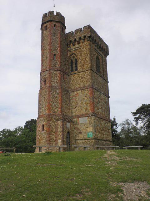
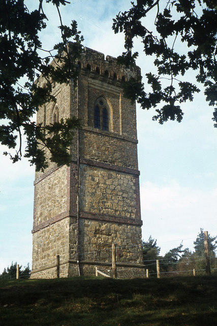
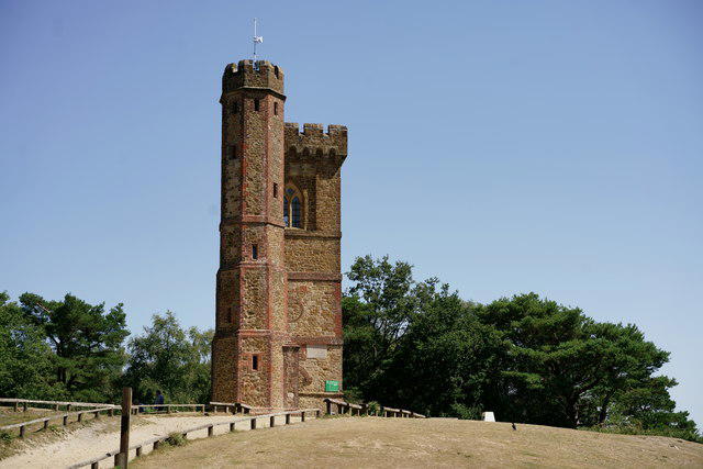
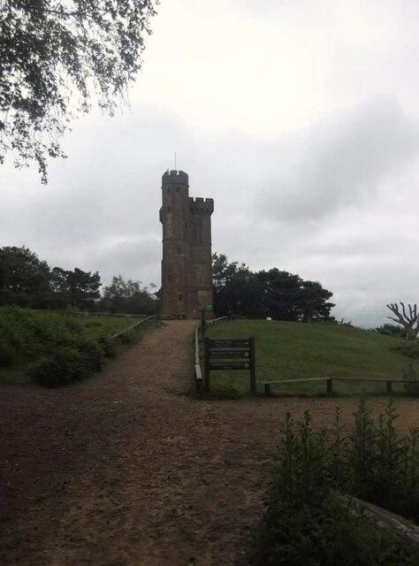
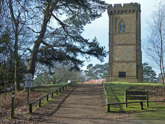
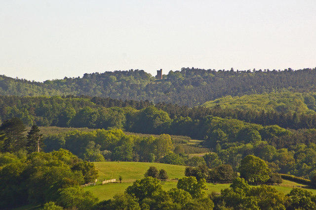
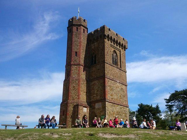
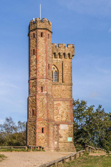
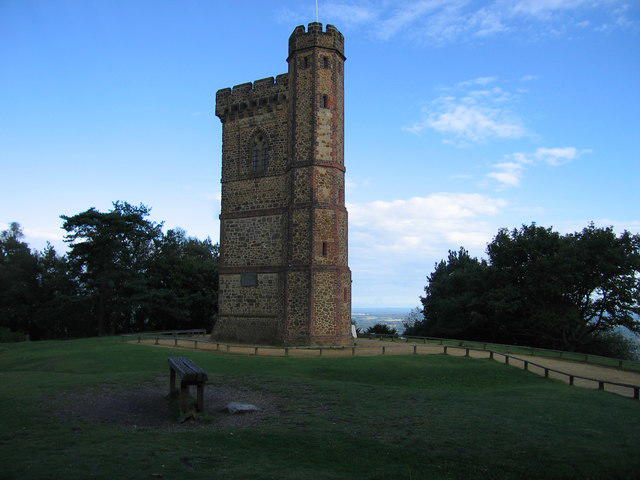
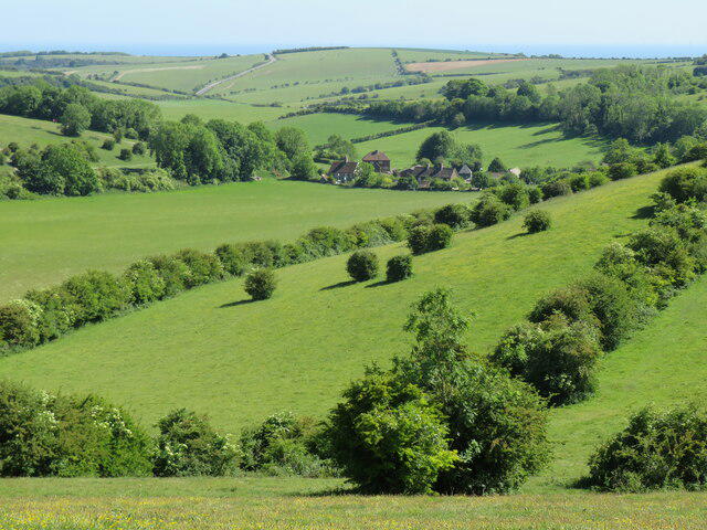
At the summit, you'll find the Leith Hill Tower, a Victorian Gothic-style structure that stands at 1,000 feet above sea level. It's the highest point in south-east England. Be sure to climb the tower for views that might make you question why you never took up mountaineering!
Leith Hill is primarily composed of the sandstones and clays of the Weald, giving it a rather curious mix of hard and soft rock terrains. This allows for a fascinating array of flora and fauna throughout the area.
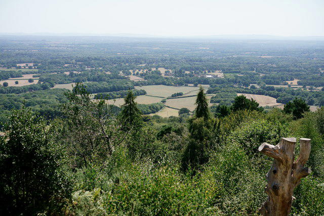
On a clear day, you can see as far as the northern outskirts of London, the Malvern Hills, and even the English Channel – it’s like having your very own panoramic postcard!
The name 'Leith' is thought to be derived from the Old English word 'leàh', meaning a clearing in the woods, reflecting its forested environment.
Leith Hill has historical significance due to the tower which was built in 1776 as a landmark, showing man's desire to conquer the heights. Numerous artists and poets have been inspired by its beauty!
This popular circular route starts and ends at Starveall Corner car park and takes you through woodland paths and up to Leith Hill Tower. The route includes stunning views from the highest point in South East England, as well as a chance to explore the surrounding heathland and forests.
This scenic route begins in the charming village of Coldharbour, weaving through Redlands Wood and climbing up to Leith Hill Tower. The path is well-marked and offers picturesque surroundings, including views of the Surrey Hills and beyond.
This route combines a visit to Leith Hill Tower with a detour to the historic Leith Hill Windmill. Starting at the Windy Gap car park, the walk takes you through beautiful woodland trails and includes a mix of gentle climbs and flat sections.
Starting from the Wotton Estate, this longer route offers a mix of woodland, open fields, and breathtaking views as you ascend to Leith Hill. The trail is slightly more challenging due to its length but rewards you with diverse landscapes and rich history.
Ideal for those short on time, this shorter loop starts near the Landslip car park and takes you through the dense woodland around Leith Hill. The route is straightforward and perfect for families or beginners.
You can park at the Leith Hill car park (TQ140424), which has ample space for cars. Please note parking charges apply.
The nearest train station is Holmwood, from which you can catch a bus or enjoy a steep walk directly to the hill.
There is a café at the base of Leith Hill offering refreshments and toilets, perfect for a post-hike treat or where to reminisce about those steep sections!
Join friendly walkers exploring Leith Hill and surrounding area
More walks starting close to this area

Create a walk and let others join you. It's free and easy!
Some common questions about the hills answered
Many walkers use Walkmates to join or organise walks with others. You can check for group walks around Leith Hill through the maps
Activity varies by location and time, but Walkmates lets you see whether others have shared walks or shown interest in this area. Find other people through the walking friends search walking friends for Leith Hill search or of course create your own walk for Leith Hill
Yes. If there aren’t any walks listed already, you can create a walk and make it available for others to join.
If you're signed up to Walkmates, you can create a walk to Leith Hill.
There are often multiple ways to walk this hill, depending on experience and route preference. Walkmates helps you explore walks and routes that others have shared.
Yes. You can suggest or create routes to share with others. Walkmates focuses on the social side of walking, so routes are used to help people organise walks and explore areas together, rather than as detailed navigation tools or route libraries.
Other uses really appreciate knowledgeable walkers sharing their routes. Share your favourite route to Leith Hill here
We always strive to keep the information on Walkmates as accurate as possible. If you find an error, please let us know through the contact form and we'll aim to correct it as quickly as possible
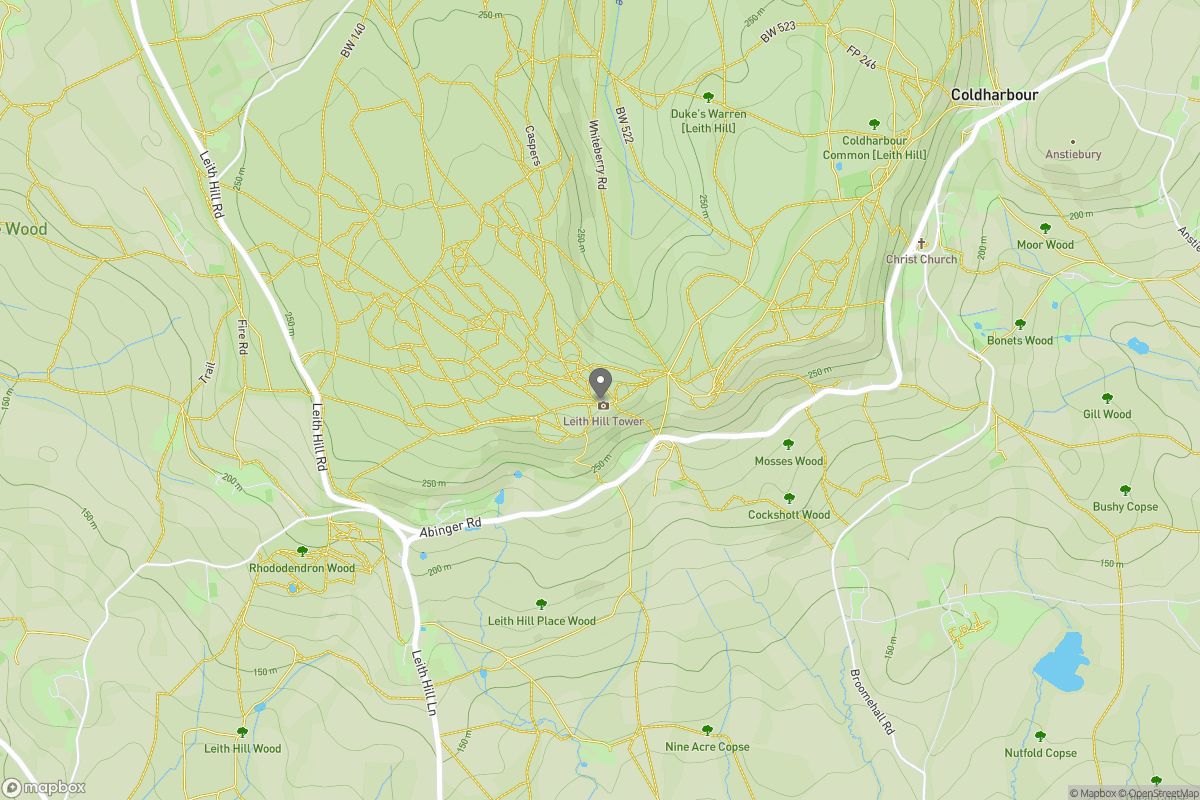
Grid Ref: TQ139431
Ditchling Beacon
248m
Worcestershire Beacon
425m
Glastonbury Tor
158m
Titterstone Clee Hill
533m
The Roaches
505m
+ 5 more nearby hills
Find more walking companions in the area
No comments yet. Be the first.