

Bedham Hill
Good walks are even better shared.
Overview
Bedham Hill
Bedham Hill, standing proudly at 229 meters, is a charming Marilyn located in the heart of the South Downs. Nestled near the picturesque village of Bedham, this hill offers a pleasant escape for hikers and nature lovers alike.
Geology
The hill is comprised of Upper Chalk, which presents unique cliff faces and diverse vegetation indicative of the Southern chalk landscape. The terrain is characterised by rich chalk grasslands, hosting a variety of wildlife, including butterflies and rare plants. It’s a geological gem, a real chalk and cheese affair when compared to other types of hills!
Routes
The Horse Shoes Route
Starting from a small car park near Bedham village, this circular route takes you on a delightful journey across 5.5 km, with a moderate difficulty level making it manageable for most walkers. Prepare for a mix of gentle climbs, rolling hills, and the odd muddy patch after rain.
Summit Features
Reaching the summit of Bedham Hill is rewarded with a modest wooden post marking the peak. However, the real treasure lies in the breathtaking views that unfold before you; the rolling hills of the South Downs stretch out in all directions.
Terrain Type
The terrain is primarily grassy, adorned with patches of chalk and the occasional rocky outcrop. This gives hikers a varied landscape to explore whilst keeping their gait interesting!
Views
From the summit, one can admire sweeping views towards the Arun Valley and the historic vistas of Arundel. The South Downs truly come alive, particularly in best seasons like spring when the vibrant flora adds colour to the landscape.
Hazards
Hiking on Bedham Hill is generally straightforward, though caution should be exercised near steep edges. After rain, parts of the trail can become slippery, so it's best to keep your wits about you.
Nearby Summits
For those wanting to extend their adventure, nearby summits such as Bignor Hill and Kithurst Hill provide fantastic options. Just don’t forget to pack the extra sarnies!
Access
Parking is convenient with a small car park at the foot of the hill. If you're relying on public transport, Pulborough is the nearest train station, located about 5 km away, with local bus services available to Bedham.
Facilities
While Bedham Hill itself offers no facilities, the nearby town of Pulborough hosts a variety of cafes and toilet amenities, ensuring you’re never caught short.
History
The name 'Bedham' hints at the area’s past, relating to the Old English term for 'home of the bees'. This connection to nature mirrors the biodiversity that one can find today. Historically, Bedham Hill has served as a landmark and has witnessed the changes of the landscape throughout the ages.
In summary, Bedham Hill is a fantastic spot for a family hike, an adventure with friends, or even a solitary escape. A true delight all year round!
Whether you're hoping to catch a glimpse of buzzing bees or simply enjoy the stunning views, Bedham Hill welcomes all who seek adventure and tranquility in the South Downs.
Explore routes near Bedham Hill
Public walks starting within 80 km of this hill. Nearby does not mean a route reaches the summit; check its map and access before setting out.
Petworth Walk with Men Walking & Talking
View route
Petworth Park: Capability Brown Hills and Lower Pond Circuit
View route
Hindhead Sailor's Stroll to Gibbet Hill
View route
Winkworth Arboretum: woodland and Rowe’s Flashe lake
View route
Route planning notes
These notes describe possible approaches, not verified navigable routes or permission to cross land. Check current paths, local access rules and conditions before setting out.
The Horse Shoes Route
A popular circular route that takes you through the scenic surroundings of Bedham Hill, offering a mix of woodland paths and open fields.
Make a day of it, together
Find someone to share the walk with, or organise a day out along a route you like.
Photo Gallery
View all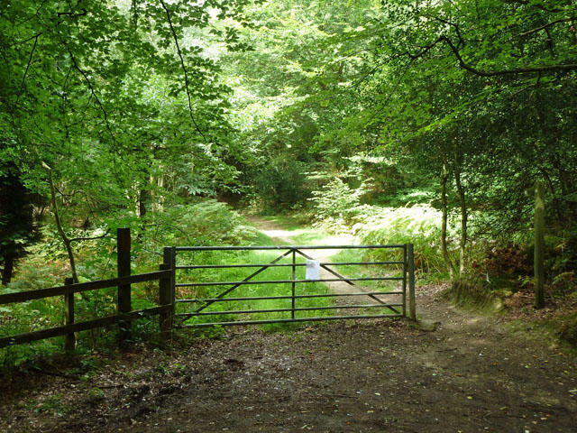 Photo could not load
TQ0122 : Start of bridleway 3246
Robin Webster
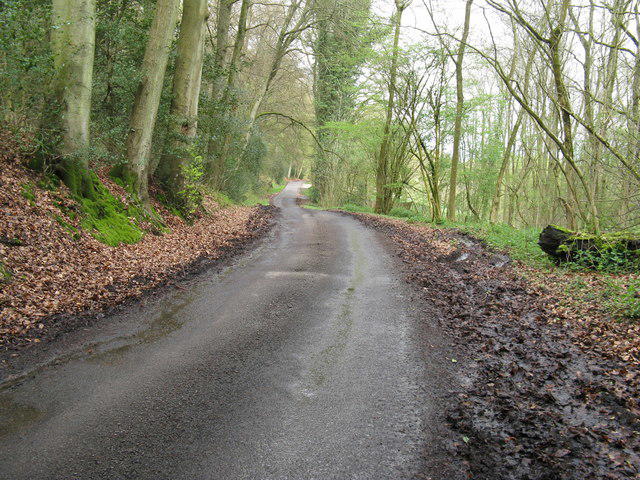 Photo could not load
TQ0122 : Country road from Bedham Copse to the A272
Dave Spicer
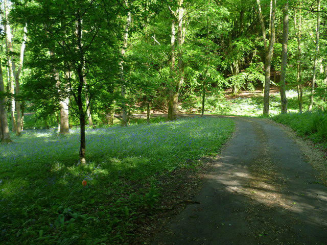 Photo could not load
TQ0122 : Driveway off Wakestone Lane
Shazz
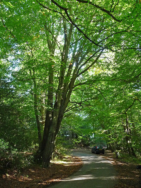 Photo could not load
TQ0122 : Wakestone Lane, Bedham
Stephen Richards
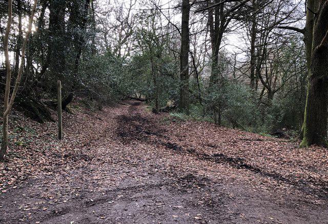 Photo could not load
TQ0122 : Track to Bognor Common
Chris Thomas-Atkin
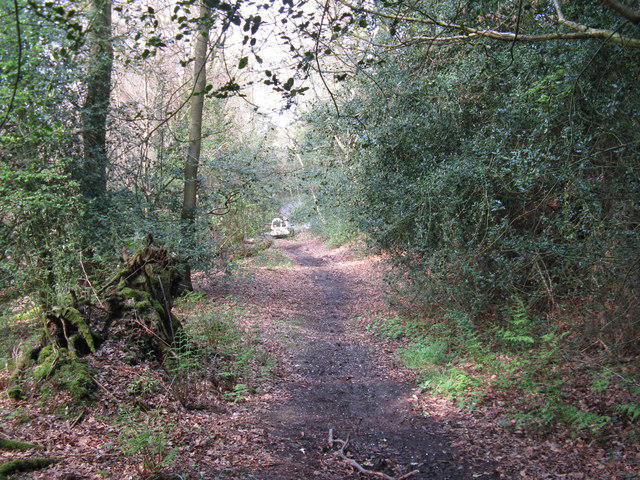 Photo could not load
TQ0122 : North end of footpath from Mitfords Copse
Dave Spicer
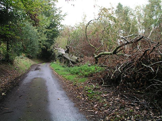 Photo could not load
TQ0122 : Fallen Beech tree on Wakestone Lane
Andy Potter
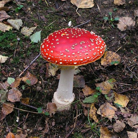 Photo could not load
TQ0122 : Fairy tale toadstool
Andy Potter
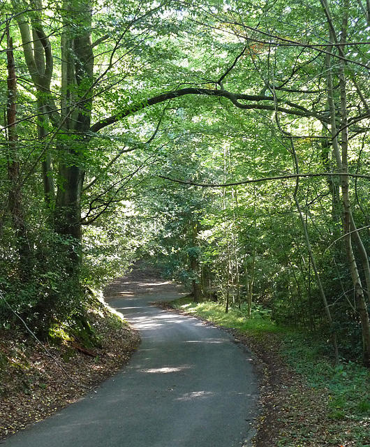 Photo could not load
TQ0122 : Bedham Lane, Bedham (1)
Stephen Richards
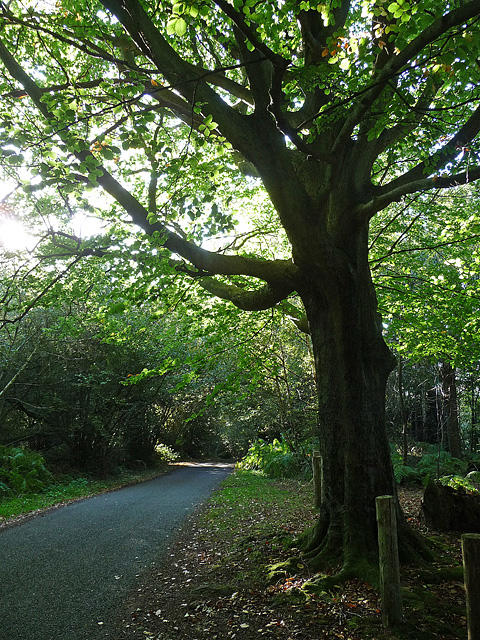 Photo could not load
TQ0122 : Bedham Lane, Bedham (2)
Stephen Richards
Hill facts and local notes
Classifications
Elevation
155m
509 ft
Prominence
122m
Coordinates
50.9896, -0.5556
TQ014221
OS Map
197
Explorer: OL34 134
At the Summit
The summit boasts a modest wooden post marking the highest point, along with spectacular views stretching across the picturesque South Downs.
Terrain & Geology
The hill is primarily formed from Upper Chalk, providing fascinating cliffs and unique flora typical of the South Downs. The surrounding area features well-exposed chalk grasslands, home to diverse wildlife.
Views & Scenery
From the summit, hikers can spot the rolling hills of the South Downs, with views extending towards the Arun Valley and the historic town of Arundel.
History & Heritage
Name Origin
The name 'Bedham' derives from Old English, meaning 'home of the bees', likely referencing the area's natural flora.
Historical Significance
Bedham Hill has been a notable landmark for centuries and offers insight into the region's geological history.
Getting There & Facilities
Check current local access restrictions, parking rules and transport timetables before travelling. These notes do not confirm public access to the summit.
Parking
There is a small car park at the start of the Horse Shoes Route near Bedham village.
Public Transport
The nearest train station is in Pulborough, approximately 5 km away, with bus services operating to Bedham.
Nearby Facilities
The closest facilities can be found in Pulborough, where you'll find cafes and toilets.
Safety Information
Known Hazards
- Care should be taken near steep edges and during wet weather, as the chalk can become slippery.
General Safety Tips
- Check weather conditions before setting out
- Carry appropriate clothing and equipment
- Let someone know your planned route
- Take a map, compass, and GPS device
- Carry emergency supplies: food, water, first aid kit, torch
Hills
Some common questions about the hills answered
Are there group walks up Bedham Hill?
Many walkers use Walkmates to join or organise walks with others. You can check for group walks around Bedham Hill through the maps
Are there other walkers around Bedham Hill?
Activity varies by location and time, but Walkmates lets you see whether others have shared walks or shown interest in this area. Find other people through the walking friends search walking friends for Bedham Hill search or of course create your own walk for Bedham Hill
Can I organise a walk to Bedham Hill?
Yes. If there aren’t any walks listed already, you can create a walk and make it available for others to join.
If you're signed up to Walkmates, you can create a walk to Bedham Hill.
How do I find a walk up this hill?
There are often multiple ways to walk this hill, depending on experience and route preference. Walkmates helps you explore walks and routes that others have shared.
Can I suggest a new route up Bedham Hill?
Yes. You can suggest or create routes to share with others. Walkmates focuses on the social side of walking, so routes are used to help people organise walks and explore areas together, rather than as detailed navigation tools or route libraries.
Other uses really appreciate knowledgeable walkers sharing their routes. Share your favourite route to Bedham Hill here
The is an error or something incorrect about this hill. How do I let you know?
We always strive to keep the information on Walkmates as accurate as possible. If you find an error, please let us know through the contact form and we'll aim to correct it as quickly as possible
Community Discussion
Comments
Location
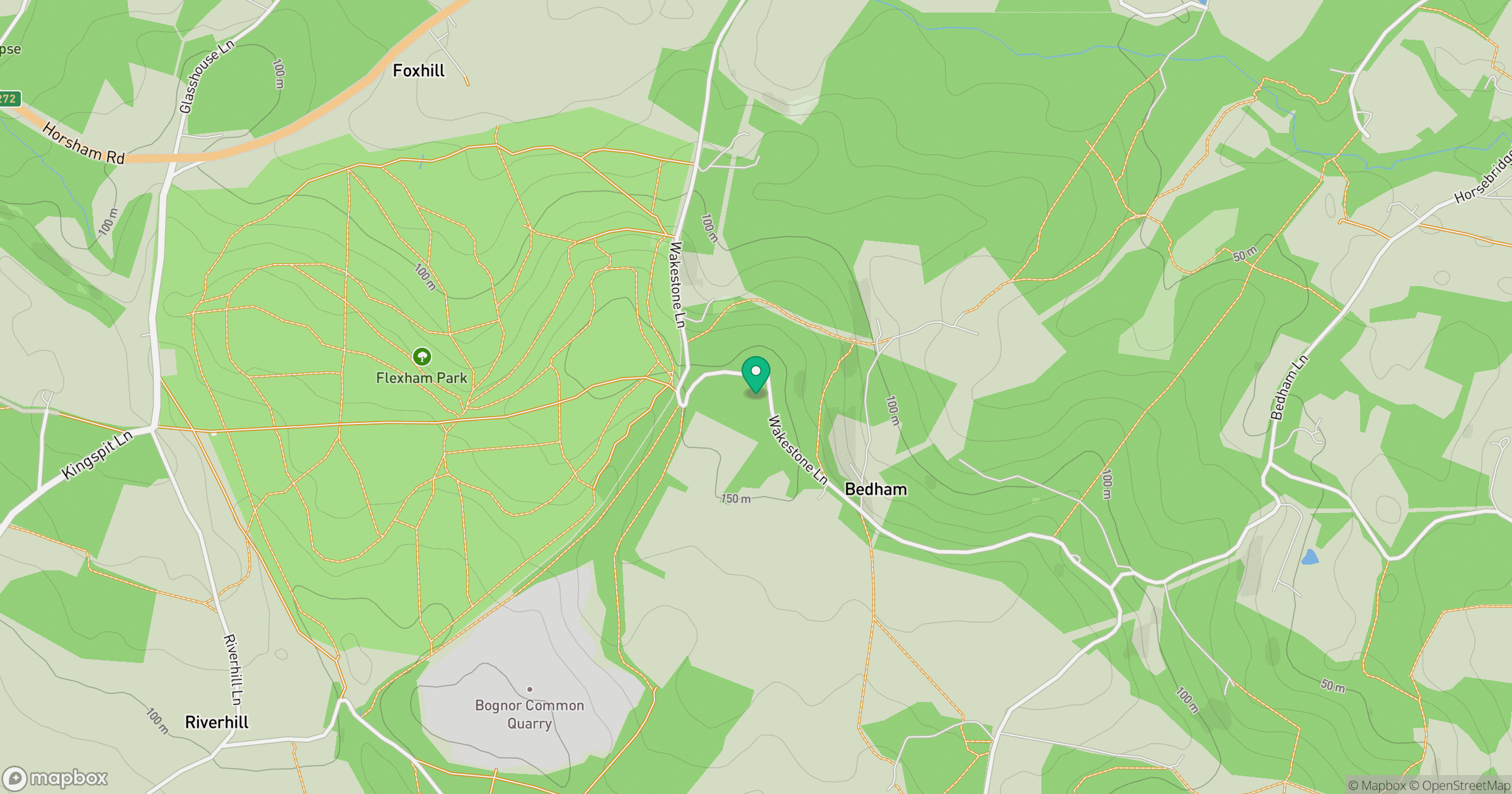
Grid reference: TQ014221
View on OpenStreetMapOpens a map in a new tab, centred on the hill.
Hills within 30 km
Straight-line distance, not a walking route or confirmation of access.
Leith Hill
294m
Kithurst Hill
213m
Black Down
281m
Hascombe Hill [Telegraph Hill]
198m
Chanctonbury Ring
242m
No comments yet. Be the first.