

Cefn yr Ogof
Good walks are even better shared.
Overview
Cefn yr Ogof
Cefn yr Ogof is not just another hill; it stands proudly at 497 meters, offering hikers an open invitation to explore its rocky terrains and to embrace its wild beauty!
Geology
Cefn yr Ogof flaunts its geology, mostly comprised of mudstone and sandstone from the Ordovician period. These ancient rocks are a testament to the earth’s transformative power, having weathered through millennia to form the rugged landscape we see today. Feel free to take a minute and wonder, how many cups of tea could be brewed with such ancient rocks around?
Routes
Hiking up Cefn yr Ogof can be an absolute delight with routes like the Ogof Path, which is well-maintained and suitable for most abilities. The route takes approximately 2.5 hours, allowing ample time to soak up the rich greenery.
For those craving more of a sweat, the Cwm Caseg Route is a challenging feast for the experienced hiker! Lengthening the journey to about 4 hours, it demands stamina but offers eyelids wide-open views in return.
Summit Features
Once you reach the summit, prepare yourself for the thrill of achievement! The stone cairn at the top is an inviting backdrop for selfies or a contemplative moment, where you can truly appreciate the panoramic views.
Terrain
Expect a mix of rocky terrains, grassy patches, and—the infamous—boggy areas. Great choice for those who enjoy testing their balance!
Views
Be sure to bring your camera! From the summit, gaze upon the striking peaks of Snowdon et al., with Llyn Cwellyn glistening in the distance. The best times to enjoy these views are in Spring when flowers bloom, or Autumn with the leaves turning into an artist’s palette.
Hazards
As with all adventures, there are hazards to keep in mind: loose rocks, rapidly changing weather, and tricky terrains. Do yourselves a favour and check the weather before you make your ascent!
Nearby Summits
In the spirit of exploration, don’t forget to check out nearby summits like Moel Siabod and Cadair Idris for an extended adventure—it’s hard to have too many hilltop views!
Access
Access to Cefn yr Ogof is relatively straightforward, with the nearest parking located at Cwm Caseg. Public transport options are available from Betws-y-Coed, and Capel Curig is a stone's throw away for a quick coffee before or after your hike.
Facilities
Refreshments and essential facilities can be found in Capel Curig, perfect for recharging those hungry batteries.
History
The meaning behind the name 'Cefn yr Ogof' translates to 'Ridge of the Cave', a nod to the area's rich mining and folklore history. You might catch a whiff of tales from the past lingering along the paths!
In conclusion, Cefn yr Ogof isn't just a place to hike; it is a journey through time and nature's grandeur, wrapped in the embrace of the Welsh landscape. So lace up those boots, and let's hit the hills! Stay safe and have fun!
Explore routes near Cefn yr Ogof
Public walks starting within 80 km of this hill. Nearby does not mean a route reaches the summit; check its map and access before setting out.
Conwy Quay to Llanfairfechan: the upland coast-path alternative
View route
Dyserth to Prestatyn: old railway walkway return
View route
Llyn Crafnant: Lakeside Circuit from the NRW Car Park
View route
Snowdon Pyg Track returning by Miner's Track
View route
Route planning notes
These notes describe possible approaches, not verified navigable routes or permission to cross land. Check current paths, local access rules and conditions before setting out.
The Ogof Path
This popular route starts from the village of Capel Curig, weaving through lush woodlands before ascending to the summit. It's a favourite among local hikers and offers a well-trodden path for easy navigation.
Cwm Caseg Route
A slightly longer and steeper route that begins at the Cwm Caseg car park, providing a more strenuous but rewarding ascent through some stunning Welsh mountain scenery.
Make a day of it, together
Find someone to share the walk with, or organise a day out along a route you like.
Photo Gallery
View all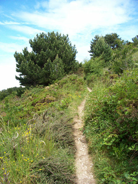 Photo could not load
SH9177 : Footpath
Jonathan Wilkins
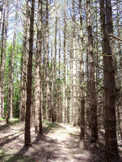 Photo could not load
SH9177 : Spooky forest
Jonathan Wilkins
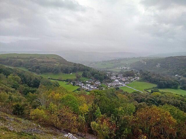 Photo could not load
SH9177 : A View of Rhyd-y-foel
David Bremner
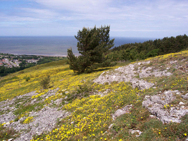 Photo could not load
SH9177 : Limestone outcrop
Jonathan Wilkins
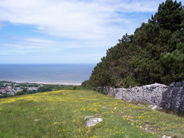 Photo could not load
SH9177 : Woodland margin
Jonathan Wilkins
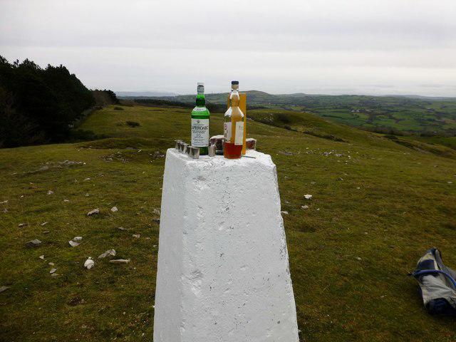 Photo could not load
SH9177 : Cefn yr Ogof
Rude Health
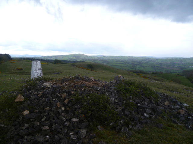 Photo could not load
SH9177 : Summit, Cefn yr Ogof
Michael Graham
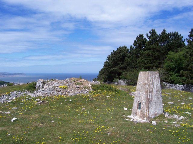 Photo could not load
SH9177 : Cefn yr Ogof trig pillar
Jonathan Wilkins
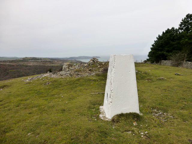 Photo could not load
SH9177 : Cefn yr Ogof
Rude Health
Hill facts and local notes
Classifications
Elevation
204m
671 ft
Prominence
102m
Coordinates
53.2816, -3.6261
SH916773
OS Map
116
Explorer: 264N
At the Summit
The summit is crowned by a small stone cairn and offers a panoramic view; a perfect spot for a selfie or a contemplative pause to enjoy the eye-watering beauty of the Snowdonia landscape.
Terrain & Geology
Cefn yr Ogof is primarily composed of mudstone and sandstone, typical of the Ordovician period, boasting rugged terrain and ancient rock formations that hint at its geological history. The erosion of these layers has created a dramatic landscape that presents both challenges and rewards for hikers.
Views & Scenery
From the summit, one can spot the iconic peaks of Snowdon in the distance, Llyn Cwellyn, and extend your gaze to the lush valleys and dramatic cliffs that characterise this stunning region.
History & Heritage
Name Origin
The name 'Cefn yr Ogof' translates to 'Ridge of the Cave' in Welsh, likely referring to the numerous caves and rock formations found in the vicinity.
Historical Significance
This area has a rich cultural heritage, often cited in local folklore and linked to ancient mining activities, making it a hotbed for legend and discovery.
Getting There & Facilities
Check current local access restrictions, parking rules and transport timetables before travelling. These notes do not confirm public access to the summit.
Parking
The closest parking is at the Cwm Caseg area, with spaces available but can get busy during peak seasons. Ensure you arrive early to secure a spot.
Public Transport
Local buses run from the nearby town of Betws-y-Coed to Capel Curig, making it accessible for those using public transport.
Nearby Facilities
There are a couple of cafes and visitor information at Capel Curig, as well as public toilets available at the car parks.
Safety Information
Known Hazards
- Loose rocks, sudden weather changes, and uneven terrain can pose challenges. Always check the weather before you set off!
General Safety Tips
- Check weather conditions before setting out
- Carry appropriate clothing and equipment
- Let someone know your planned route
- Take a map, compass, and GPS device
- Carry emergency supplies: food, water, first aid kit, torch
Hills
Some common questions about the hills answered
Are there group walks up Cefn yr Ogof?
Many walkers use Walkmates to join or organise walks with others. You can check for group walks around Cefn yr Ogof through the maps
Are there other walkers around Cefn yr Ogof?
Activity varies by location and time, but Walkmates lets you see whether others have shared walks or shown interest in this area. Find other people through the walking friends search walking friends for Cefn yr Ogof search or of course create your own walk for Cefn yr Ogof
Can I organise a walk to Cefn yr Ogof?
Yes. If there aren’t any walks listed already, you can create a walk and make it available for others to join.
If you're signed up to Walkmates, you can create a walk to Cefn yr Ogof.
How do I find a walk up this hill?
There are often multiple ways to walk this hill, depending on experience and route preference. Walkmates helps you explore walks and routes that others have shared.
Can I suggest a new route up Cefn yr Ogof?
Yes. You can suggest or create routes to share with others. Walkmates focuses on the social side of walking, so routes are used to help people organise walks and explore areas together, rather than as detailed navigation tools or route libraries.
Other uses really appreciate knowledgeable walkers sharing their routes. Share your favourite route to Cefn yr Ogof here
The is an error or something incorrect about this hill. How do I let you know?
We always strive to keep the information on Walkmates as accurate as possible. If you find an error, please let us know through the contact form and we'll aim to correct it as quickly as possible
Community Discussion
Comments
Location
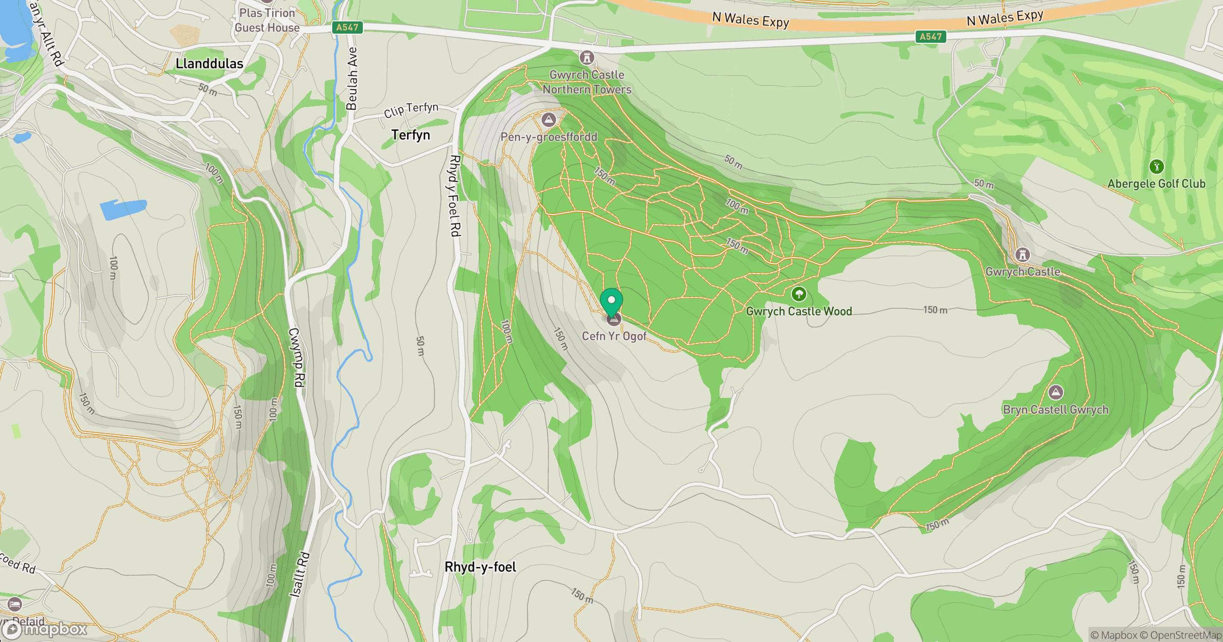
Grid reference: SH916773
View on OpenStreetMapOpens a map in a new tab, centred on the hill.
Hills within 30 km
Straight-line distance, not a walking route or confirmation of access.
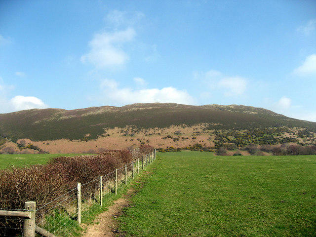
Mynydd Tryfan
402m
Great Orme [Y Gogarth]
207m
Carnedd Llewelyn
1,062m
Moel Famau
555m
Carnedd Dafydd
1,044m
No comments yet. Be the first.