

Cauldcleuch Head
Good walks are even better shared.
NT4500 : Ascending Cauldcleuch Head
Michael Graham Photo source
Overview
Cauldcleuch Head: A Hiker's Delight
Nestled in the picturesque Southern Uplands of Scotland, Cauldcleuch Head stands proud at 754 meters. Often overlooked by the casual hiker, this Marilyn offers a pleasing challenge without the crowds.
Geology
The summit is primarily composed of Old Red Sandstone, with remnants of volcanic rock. It’s a geological wonder that speaks of a time when this land was vastly different, so don't forget to give a nod to the ancient rocks as you stroll by.
Routes
The Southern Approach from Cauldcleuch Farm provides a moderate hike of 7.5 km. The path is straightforward, leading you through lush grassy areas until you reach the rocky summit. Expect to spend about 3 hours on this route, meaning you can still have time for a picnic at the top!
Summit Features
At the summit, a humble cairn greets you, a perfect backdrop for some Instagram moments. It’s the ideal spot to catch your breath and admire the rolling hills around you. Remember, no selfie sticks – the cairn deserves respect!
Terrain
Expect to find grassy slopes with rocky patches near the top. It’s a typical Southern Upland experience, where good sturdy boots will serve you well.
Views
The views from Cauldcleuch Head are absolutely delightful. On a clear day, you can spot the Eildon Hills and perhaps even the jagged outline of the Cheviots. The best seasons for breathtaking views are spring and early summer. Pro tip: take a thermos of tea along and sip in style!
Hazards
While the path is generally well-defined, stray too far from the beaten track and you might find yourself in a pickle. Be cautious of sudden weather changes – one minute you’re basking in the sun, the next it’s raining cats and dogs!
Nearby Summits
If Cauldcleuch Head has kindled your hiking spirit, consider checking out nearby Broad Law (840 m) and Hart Fell (782 m), both offering their own unique challenges and views.
Access
To access this gem, park at Cauldcleuch Farm (NT469007), where you can easily start your hike. For those relying on public transport, plan ahead – services from Moffat run, but they aren’t regular. Moffat itself is around 13 km away, providing the necessary amenities before or after your adventure.
Facilities
After a day of conquering the hills, head back to Moffat for a well-recommended slice of cake and a decent cup of coffee. What more could you want?
History
The name 'Cauldcleuch' means 'cold glen', reflecting the often chilly experiences at the summit, so wear layers! Historically significant, this area has been tied closely to the sheep farming community.
Conclusion
Cauldcleuch Head isn't just a mountain; it’s a perfect blend of natural beauty, adventure, and history. Enjoy your climb and remember, the journey is just as important as the summit!
Explore routes near Cauldcleuch Head
Walks starting near this hill. Open a route to check its map, distance and full itinerary.
Newcastleton Forest Priest Hill Viewpoint Trail
View route
Hawick: Wilton Lodge Park and River Teviot Circular
View route
Kielder Skyspace and Observatory Forest Walk
View route
Bakethin Hide Wild Walk
View route
Route planning notes
These notes describe possible approaches. Check a route's map and access information when planning your walk.
Southern Approach from Cauldcleuch Farm
A well-trodden path zigzags up through grassy slopes, offering a scenic ascent with minimal obstacles, perfect for less experienced hikers.
Make a day of it, together
Find someone to share the walk with, or organise a day out along a route you like.
Photo Gallery
View all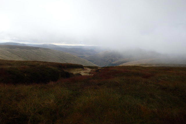 Photo could not load
NT4500 : Ascending Cauldcleuch Head
Michael Graham
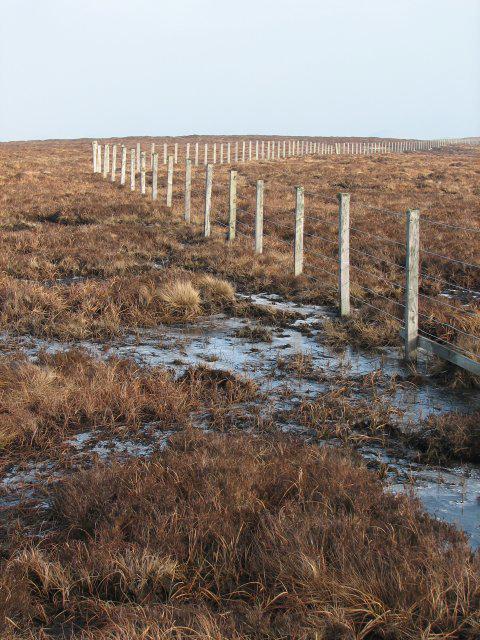 Photo could not load
NT4500 : Fence, Cauldcleuch Head
Callum Black
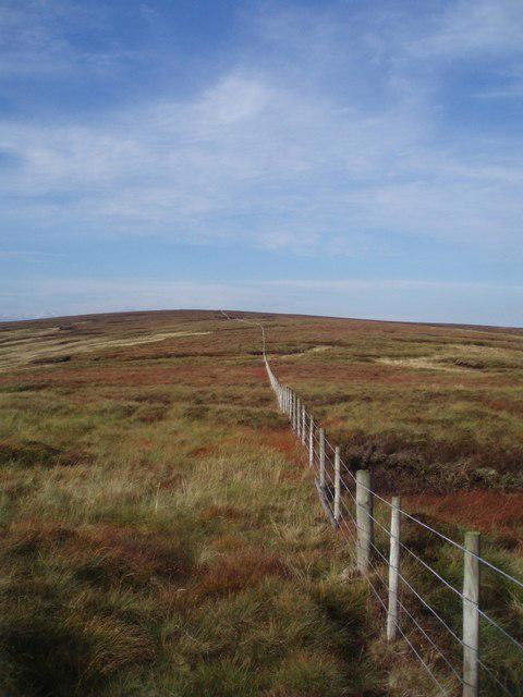 Photo could not load
NT4500 : Caldcleuch Head Fence
Adam Ward
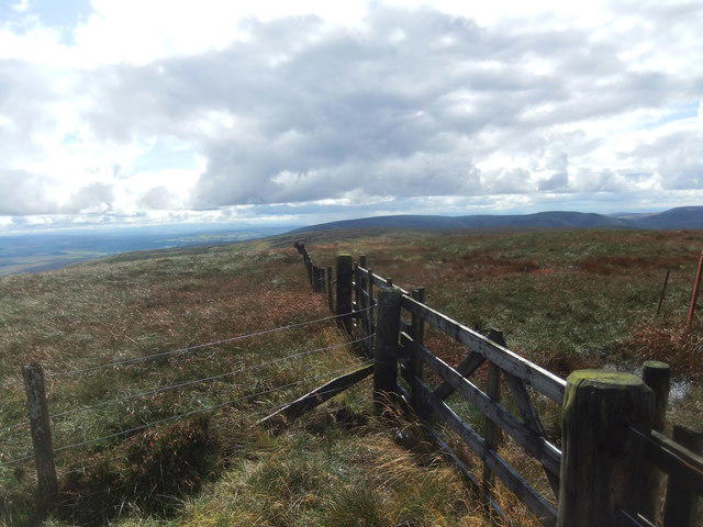 Photo could not load
NT4500 : Cauldcleugh Head
David Brown
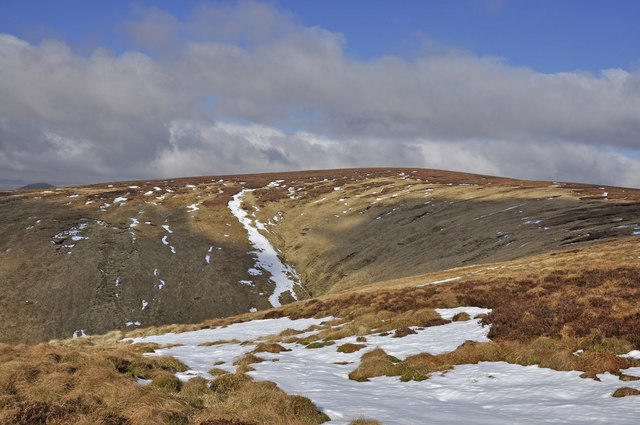 Photo could not load
NT4500 : Cauldcleuch Head summit from the south
Iain A Robertson
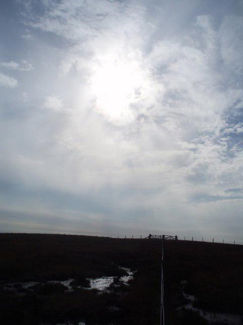 Photo could not load
NT4500 : Cauldcleuch Head Bog
Adam Ward
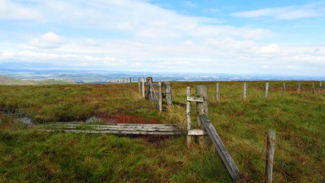 Photo could not load
NT4500 : On Cauldcleuch Head summit - fence junction
Colin Park
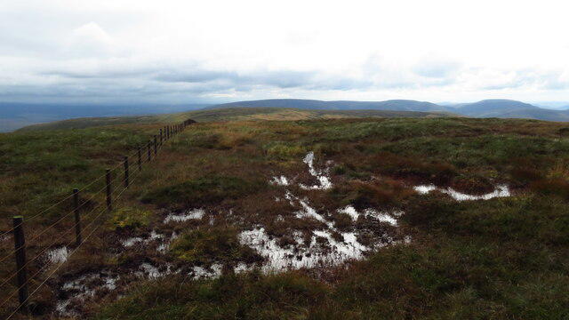 Photo could not load
NT4500 : On Cauldcleuch Head summit - view south along ridge
Colin Park
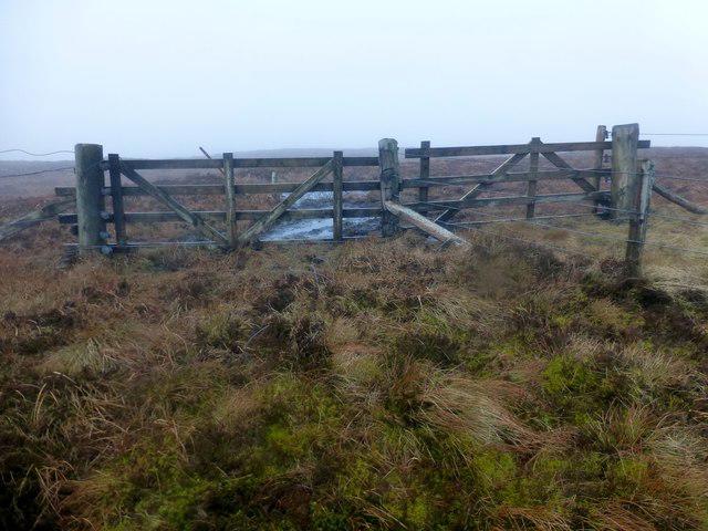 Photo could not load
NT4500 : Cauldcleuch Head
Rude Health
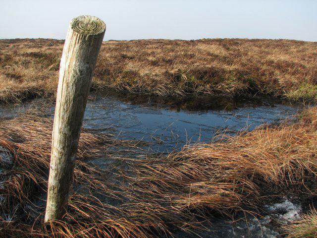
NT4500 : Frozen pool
Callum Black
Hill facts and local notes
Classifications
Elevation
619m
2,030 ft
Prominence
256m
Coordinates
55.2972, -2.8574
NT456006
OS Map
79
Explorer: 331
At the Summit
The summit features a modest cairn, providing a suitable spot for a well-deserved rest and a few snapshots to make your mates jealous.
Terrain & Geology
Cauldcleuch Head is primarily composed of Old Red Sandstone, with some areas of volcanic rock. The geology here provides a unique insight into the ancient environments that existed millions of years ago.
Views & Scenery
From the summit, you can gaze over the rolling hills of the Southern Uplands and spot landmarks such as the Eildon Hills to the north and the distant Cheviots.
History & Heritage
Name Origin
The name 'Cauldcleuch' translates from Scots Gaelic as 'cold glen', a fitting description considering the often chilly winds at the summit.
Historical Significance
Historically, the area was used for grazing sheep and plays a part in the pastoral heritage of the Southern Uplands.
Getting There & Facilities
Parking
The closest parking can be found at Cauldcleuch Farm (NT469007), which allows easy access to the starting point of your hike.
Public Transport
While public transport options are limited, a local bus service from Moffat can carry you part of the way. It's best to check local schedules.
Nearby Facilities
For facilities, check out Moffat, where you'll find cafes and toilets, perfect for a pre-hike coffee or a celebratory slice of cake afterward!
Safety Information
Known Hazards
- Lack of clear paths can lead to potential navigation issues, especially in poor visibility. Watch out for sudden weather changes typical of the region.
General Safety Tips
- Check weather conditions before setting out
- Carry appropriate clothing and equipment
- Let someone know your planned route
- Take a map, compass, and GPS device
- Carry emergency supplies: food, water, first aid kit, torch
Hills
Some common questions about the hills answered
Are there group walks up Cauldcleuch Head?
Many walkers use Walkmates to join or organise walks with others. You can check for group walks around Cauldcleuch Head through the maps
Are there other walkers around Cauldcleuch Head?
Activity varies by location and time, but Walkmates lets you see whether others have shared walks or shown interest in this area. Find other people through the walking friends search walking friends for Cauldcleuch Head search or of course create your own walk for Cauldcleuch Head
Can I organise a walk to Cauldcleuch Head?
Yes. If there aren’t any walks listed already, you can create a walk and make it available for others to join.
If you're signed up to Walkmates, you can create a walk to Cauldcleuch Head.
How do I find a walk up this hill?
There are often multiple ways to walk this hill, depending on experience and route preference. Walkmates helps you explore walks and routes that others have shared.
Can I suggest a new route up Cauldcleuch Head?
Yes. You can suggest or create routes to share with others. Walkmates focuses on the social side of walking, so routes are used to help people organise walks and explore areas together, rather than as detailed navigation tools or route libraries.
Other uses really appreciate knowledgeable walkers sharing their routes. Share your favourite route to Cauldcleuch Head here
The is an error or something incorrect about this hill. How do I let you know?
We always strive to keep the information on Walkmates as accurate as possible. If you find an error, please let us know through the contact form and we'll aim to correct it as quickly as possible
Community Discussion
Comments
Location
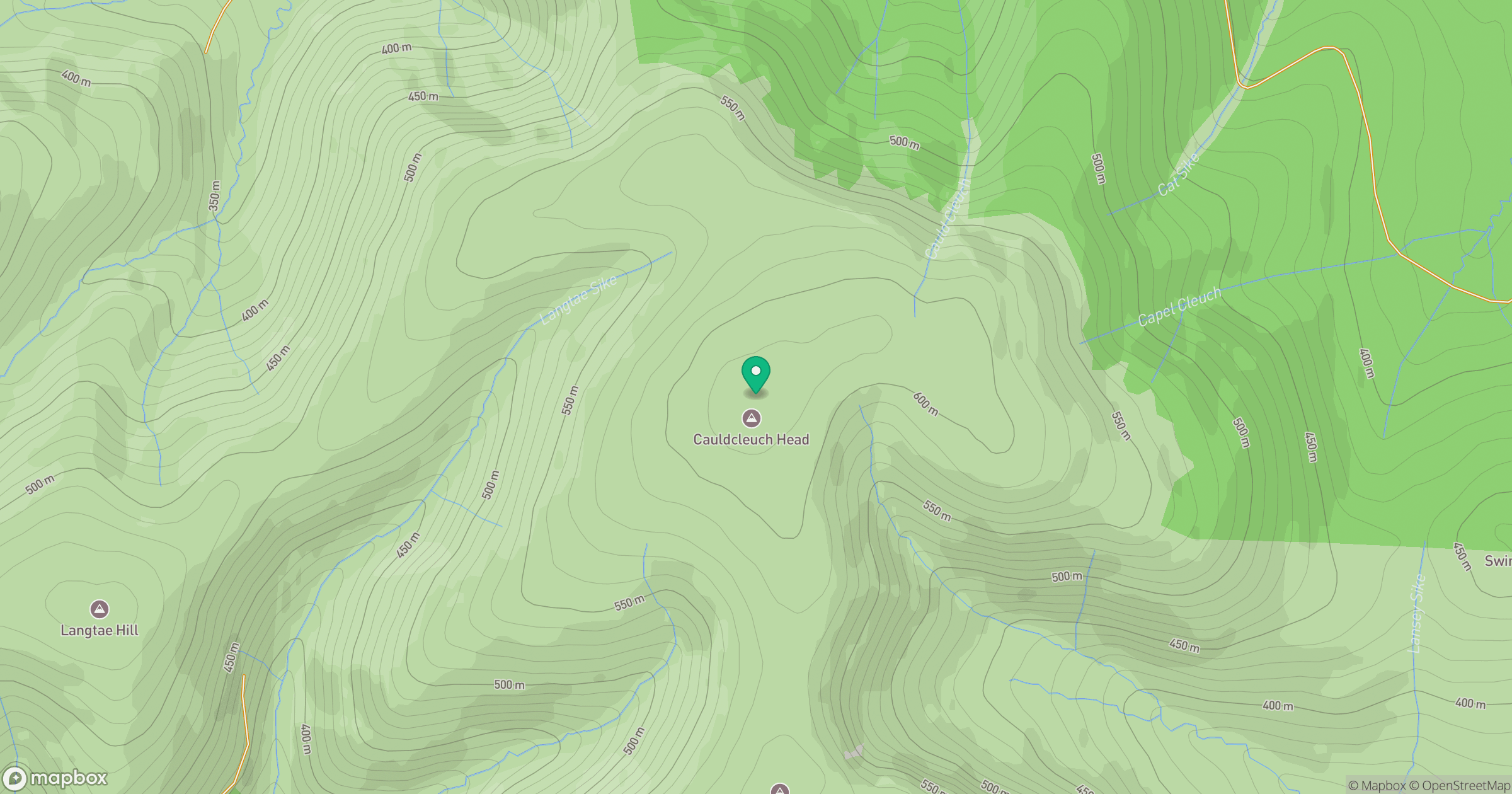
Grid reference: NT456006
View on OpenStreetMapOpens a map in a new tab, centred on the hill.



No comments yet. Be the first.