

Fanna Hill
Good walks are even better shared.
Overview
Fanna Hill: A Hidden Gem in the Pentlands
Fanna Hill is a delightful peak standing at 302 meters, offering a spirited hike for both novices and seasoned walkers. Nestled within the beautiful Pentland Hills, this Marilyn delights with its stunning panoramas and varied terrain.
Geology
Fanna Hill features the classic Old Red Sandstone composition of the Pentlands, offering geologically rich scenery. The undulating landscape reflects ancient geological activity, and while you might not stumble upon gold, the views are certainly a treasure!
Routes
The most popular hike is the Fanna Hill Circular Route, starting from the Flotterstone car park. Spanning 7.5 km and taking approximately 2.5 hours, this moderate trek takes you through rolling hills adorned with heather, alongside the occasional curious sheep or two.
Summit Features
At the summit, you will find a charming cairn offering a perfect photo op amidst its rocky backdrop. Take a moment to catch your breath as you soak in the panoramic views of the hills and valleys around you.
Terrain
The terrain is primarily grassy but expect rocky patches and wet areas, especially after rain. It’s all part of the adventure; just think of it as nature’s way of keeping things interesting!
Views
On clear days, expect stunning vistas that stretch as far as your eyes can see. To the north, the skyline of Edinburgh occasionally peeks out from behind the hills. Spring and Autumn are particularly breathtaking with vibrant colours on display, ensuring your hiking journey is a feast for the eyes.
Hazards
Keep an eye on the ever-changing weather! Conditions can shift rapidly, leading to fog and slippery paths. There’s no such thing as bad weather, only inappropriate clothing—so dress wisely!
Access
Parking
Flotterstone car park is conveniently located for hikers. It has plenty of space, but get there early on sunny weekends to avoid disappointment.
Public Transport
No need to worry if you don't have wheels; catch a bus from Edinburgh to Flotterstone. A short walk will take you to the hike's starting point.
Nearby Town
The charming town of Penicuik is but a stone’s throw away, perfect for stocking up on post-hike treats or enjoying a nice cup of tea.
Facilities
After a rewarding hike, satisfy your hunger at the nearby café at Flotterstone, where you can story-tell over snacks and welcome the satisfaction of a day well spent in nature.
History
The name Fanna Hill is derived from the Gaelic word for 'fair.' Its cultural significance resonates with local hikers and outdoor enthusiasts who cherish this small yet lovely peak.
In conclusion, Fanna Hill may not be the tallest peak in the Pentlands, but its charm and appeal offer hikers a wonderful experience.
Whether you're on a solo adventure or with family and friends, this hill promises to be a delightful spot in your outdoor adventures!
Embrace the journey and remember—every step is a step towards serenity!
Explore routes near Fanna Hill
Public walks starting within 80 km of this hill. Nearby does not mean a route reaches the summit; check its map and access before setting out.
Kielder Skyspace and Observatory Forest Walk
View route
Bakethin Hide Wild Walk
View route
Hawick: Wilton Lodge Park and River Teviot Circular
View route
Kielder Forest - 50 Rocks of Northumberland inspired
View route
Route planning notes
These notes describe possible approaches, not verified navigable routes or permission to cross land. Check current paths, local access rules and conditions before setting out.
Fanna Hill Circular Route
A leisurely circular hike starting from the Flotterstone car park, winding through heather-clad hills and mystery-shrouded valleys.
Make a day of it, together
Find someone to share the walk with, or organise a day out along a route you like.
Photo Gallery
View all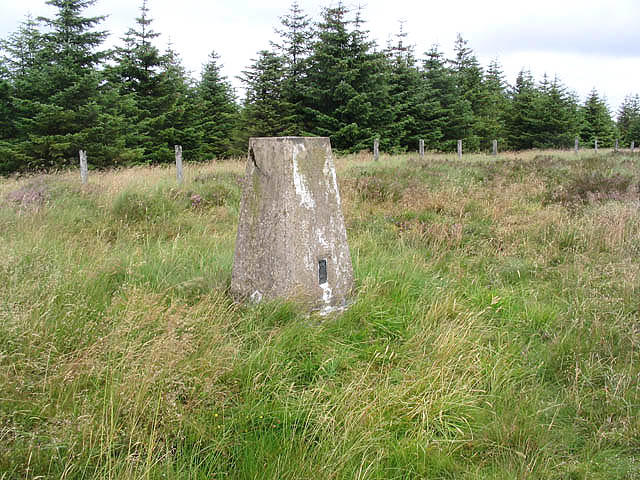 Photo could not load
NT5603 : The triangulation pillar on Fanna Hill
Walter Baxter
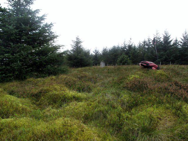 Photo could not load
NT5603 : Fanna Hill
Rude Health
Hill facts and local notes
Classifications
Elevation
515m
1,688 ft
Prominence
148m
Coordinates
55.3210, -2.6795
NT569031
OS Map
80
Explorer: 331
At the Summit
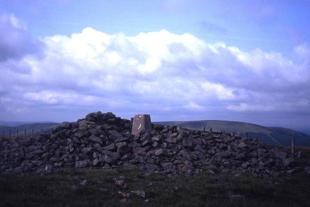
The summit features a rocky outcrop adorned with a modest cairn that has seen many a wandering soul pause for breath (and a selfie).
Terrain & Geology
Fanna Hill is primarily composed of Old Red Sandstone, typical of the Pentland Hills, offering a glimpse into Scotland's geological past with its rocky outcrops and rolling slopes.
Views & Scenery
From the summit, enjoy breathtaking views of the surrounding Pentland Hills, the varying shades of green and the distant Edinburgh skyline peeking through the mist on a clear day.
History & Heritage
Name Origin
The name 'Fanna' derives from the Gaelic word 'Fionn,' meaning 'fair' or 'white,' possibly referring to the hill's appearance in snow.
Historical Significance
Fanna Hill has been a popular destination for local hikers, offering a modest challenge and rewarding views for generations.
Getting There & Facilities
Check current local access restrictions, parking rules and transport timetables before travelling. These notes do not confirm public access to the summit.
Parking
Flotterstone car park, which offers ample space for vehicles and easy access to the path leading towards Fanna Hill.
Public Transport
Regular bus services run from Edinburgh to Flotterstone, with a bit of a trek required from the closest stop.
Nearby Facilities
Flotterstone has a café that serves delightful snacks and hot drinks, perfect for a post-hike treat!
Safety Information
Known Hazards
- Be cautious of changing weather conditions; the hills can be deceptive with fog rolling in quickly. Watch out for slippery paths, especially in wet weather.
General Safety Tips
- Check weather conditions before setting out
- Carry appropriate clothing and equipment
- Let someone know your planned route
- Take a map, compass, and GPS device
- Carry emergency supplies: food, water, first aid kit, torch
Hills
Some common questions about the hills answered
Are there group walks up Fanna Hill?
Many walkers use Walkmates to join or organise walks with others. You can check for group walks around Fanna Hill through the maps
Are there other walkers around Fanna Hill?
Activity varies by location and time, but Walkmates lets you see whether others have shared walks or shown interest in this area. Find other people through the walking friends search walking friends for Fanna Hill search or of course create your own walk for Fanna Hill
Can I organise a walk to Fanna Hill?
Yes. If there aren’t any walks listed already, you can create a walk and make it available for others to join.
If you're signed up to Walkmates, you can create a walk to Fanna Hill.
How do I find a walk up this hill?
There are often multiple ways to walk this hill, depending on experience and route preference. Walkmates helps you explore walks and routes that others have shared.
Can I suggest a new route up Fanna Hill?
Yes. You can suggest or create routes to share with others. Walkmates focuses on the social side of walking, so routes are used to help people organise walks and explore areas together, rather than as detailed navigation tools or route libraries.
Other uses really appreciate knowledgeable walkers sharing their routes. Share your favourite route to Fanna Hill here
The is an error or something incorrect about this hill. How do I let you know?
We always strive to keep the information on Walkmates as accurate as possible. If you find an error, please let us know through the contact form and we'll aim to correct it as quickly as possible
Community Discussion
Comments
Location
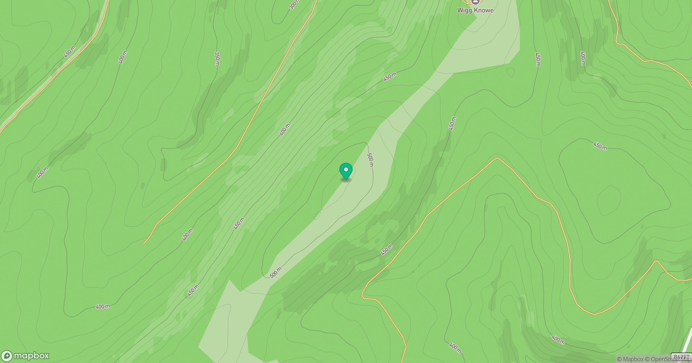
Grid reference: NT569031
View on OpenStreetMapOpens a map in a new tab, centred on the hill.
Hills within 30 km
Straight-line distance, not a walking route or confirmation of access.

No comments yet. Be the first.