

Larriston Fells
Good walks are even better shared.
NY5692 : Trig point on Larriston Fells from west
Andrew Curtis Photo source
Overview
Overview
Larriston Fells sits proudly in the Southern Uplands, offering an inviting escape for those eager to explore the rugged beauty of Scotland. At an elevation of 540 meters, it may not be the tallest peak in the region, but it certainly packs a punch when it comes to views and experience.
Geology
The geological marvel of Larriston Fells lies in its composition of sedimentary rocks from the Devonian period. Expect rocky outcrops and grassy slopes that can make you feel one with nature (or at least one with your shoe as you slip into that bog).
Routes
Larriston Fell via the B709
- Distance: 6.5 km
- Time: 2.5 hours
- Difficulty: Moderate
This straightforward route begins from the B709 and leads you directly to the summit, ensuring you stay on the right track without too much fuss.
Circular Route from Larriston
- Distance: 10.0 km
- Time: 4.0 hours
- Difficulty: Challenging
For the more adventurous, this circular route provides varied scenery and a rewarding sense of accomplishment as you take in the stunning landscapes from every angle.
Summit Features
Upon reaching the summit, you'll encounter a humble cairn standing guard over the vista. It’s the perfect spot to catch your breath and enjoy a snack — just remember not to feed the local wildlife your lunch!
Terrain
Prepare for a delightful mix of grassy hillocks intertwined with rocky outcrops. Occasionally, the trail may lead you through wet areas, so wellies are a must if you prefer keeping your feet dry (good luck with that!).
Views
From the top, feast your eyes on the stunning vistas of the Cheviots and the Border Hills. Whether basking in the glory of sunset or witnessing the sunrise, you won't want to forget your camera.
Hazards
Stay vigilant! The rocky terrain can prove tricky. Additionally, the weather can change quicker than a cat on a hot tin roof — be ready for anything.
Access
The nearest parking area is conveniently located along the B709, allowing easy access for those driving from Moffat. For public transport, services from Moffat can drop you nearby, but you may still need to hoof it for a bit. The charming town of Moffat offers all necessary facilities to prepare you for a day of adventure!
Facilities
In nearby Moffat, you'll find ample options for food and drink, alongside clean public toilets — perfect for pre-hike comfort breaks!
History
The name 'Larriston' has roots in Old English, meaning 'the slope enclosure', harking back to a time when this area was primarily used for sheep farming. It stands as a testament to the pastoral heritage of the Scottish borders.
Conclusion
Whether you’re an experienced hiker or just looking for a pleasant wander through nature, Larriston Fells offers a slice of Scottish serenity. Happy hiking!
Explore routes near Larriston Fells
Walks starting near this hill. Open a route to check its map, distance and full itinerary.
Kielder Skyspace and Observatory Forest Walk
View route
Bakethin Hide Wild Walk
View route
Kielder Forest - 50 Rocks of Northumberland inspired
View route
Newcastleton Forest Priest Hill Viewpoint Trail
View route
Route planning notes
These notes describe possible approaches. Check a route's map and access information when planning your walk.
Larriston Fell via the B709
A direct route starting from the B709, providing scenic views of the surrounding valleys.
Circular Route from Larriston
A lovely circular walk that offers varied scenery and a taste of the surrounding countryside.
Make a day of it, together
Find someone to share the walk with, or organise a day out along a route you like.
Photo Gallery
View all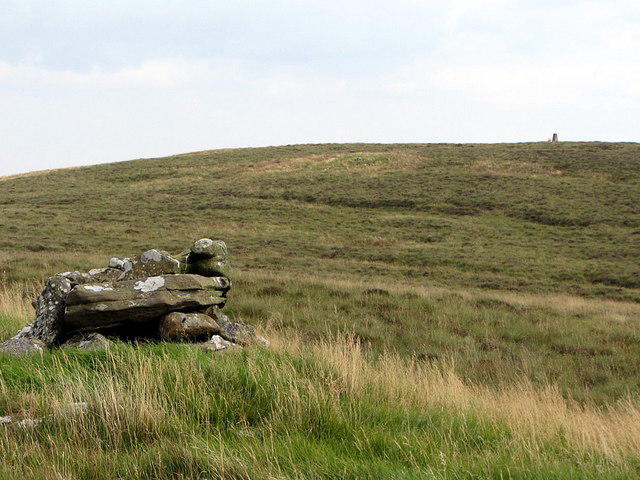 Photo could not load
NY5692 : Trig point on Larriston Fells from west
Andrew Curtis
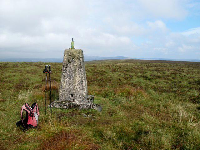 Photo could not load
NY5692 : Larriston Fells
Rude Health
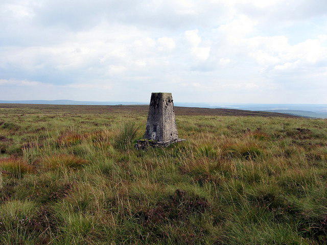 Photo could not load
NY5692 : Larriston Fells
Andrew Curtis
Hill facts and local notes
Classifications
Elevation
512m
1,680 ft
Prominence
159m
Coordinates
55.2212, -2.6790
NY569920
OS Map
80
Explorer: OL42W 324
At the Summit
The summit features a modest cairn and fantastic panoramic views; a perfect spot for a well-deserved picnic – just watch your sandwiches float away in the breeze!
Terrain & Geology
The Larriston Fells are primarily composed of sedimentary rock, particularly sandstone and siltstone, which date back to the Devonian period. The underlying geology contributes to the thrilling ruggedness of the terrain.
Views & Scenery
From the summit, enjoy views of the Cheviots, the Border Hills, and the expansive Scottish countryside stretching into infinity.
History & Heritage
Name Origin
The name 'Larriston' comes from the Old English ‘laer’, meaning 'slope', combined with 'tun', meaning 'enclosure' or 'farm'.
Historical Significance
Historically, this area has been significant for sheep grazing and offers a glimpse into the pastoral life of the Scottish borders.
Getting There & Facilities
Parking
There is parking available along the B709, close to the starting point of the most popular route.
Public Transport
The nearest bus service operates from Moffat and can get you reasonably close; however, walking the rest may be required.
Nearby Facilities
Moffat offers various facilities, including cafes, pubs, and public toilets – so you have all you need to prepare for your adventure!
Safety Information
Known Hazards
- The terrain can be uneven and boggy; proper footwear is essential to prevent unplanned splashdowns.
- Weather conditions can change rapidly, so always be prepared.
General Safety Tips
- Check weather conditions before setting out
- Carry appropriate clothing and equipment
- Let someone know your planned route
- Take a map, compass, and GPS device
- Carry emergency supplies: food, water, first aid kit, torch
Hills
Some common questions about the hills answered
Are there group walks up Larriston Fells?
Many walkers use Walkmates to join or organise walks with others. You can check for group walks around Larriston Fells through the maps
Are there other walkers around Larriston Fells?
Activity varies by location and time, but Walkmates lets you see whether others have shared walks or shown interest in this area. Find other people through the walking friends search walking friends for Larriston Fells search or of course create your own walk for Larriston Fells
Can I organise a walk to Larriston Fells?
Yes. If there aren’t any walks listed already, you can create a walk and make it available for others to join.
If you're signed up to Walkmates, you can create a walk to Larriston Fells.
How do I find a walk up this hill?
There are often multiple ways to walk this hill, depending on experience and route preference. Walkmates helps you explore walks and routes that others have shared.
Can I suggest a new route up Larriston Fells?
Yes. You can suggest or create routes to share with others. Walkmates focuses on the social side of walking, so routes are used to help people organise walks and explore areas together, rather than as detailed navigation tools or route libraries.
Other uses really appreciate knowledgeable walkers sharing their routes. Share your favourite route to Larriston Fells here
The is an error or something incorrect about this hill. How do I let you know?
We always strive to keep the information on Walkmates as accurate as possible. If you find an error, please let us know through the contact form and we'll aim to correct it as quickly as possible
Community Discussion
Comments
Location
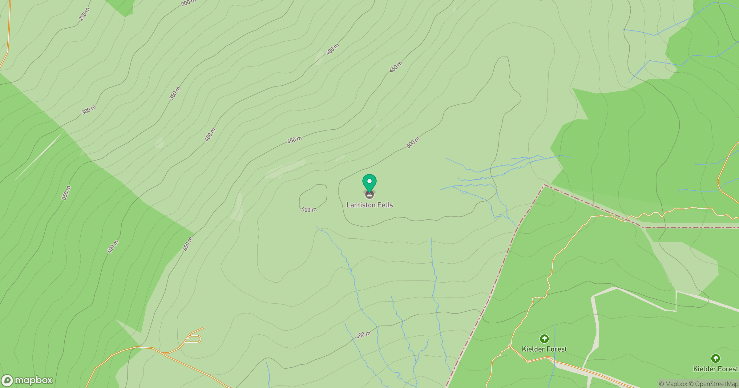
Grid reference: NY569920
View on OpenStreetMapOpens a map in a new tab, centred on the hill.



No comments yet. Be the first.