

Carnglas Hill
Good walks are even better shared.
SS6194 : Llwynmawr Road
Alan Hughes Photo source
Overview
Carnglas Hill
Carnglas Hill, standing proudly at 282 meters, may not be the highest peak in Wales, but it surely offers a satisfying challenge for those seeking a peaceful escape without breaking a sweat. Nestled in the South Wales region, this Marilyn is a hidden gem that often gets overshadowed by its towering neighbours like Pen y Fan. Don’t let its humble height fool you; the hill rewards climbers with splendid views and a serene hiking experience.
Geology
The geological makeup of Carnglas Hill is fascinating, primarily featuring sedimentary rocks that tell tales of ancient environments. The sedimentary layers of sandstone and shale make for a captivating study in contrasts and help create the unique landscape that draws keen hikers and curious geologists alike. Keep an eye out for intriguing rock formations along your journey!
Routes
Cwm Carnglas Route
This route begins at a small car park near Cwm Carnglas. Spanning approximately 3.2 km and taking around 1.5 hours, the Cwm Carnglas route offers a moderate climb with stunning views along the way. As you make your ascent, relish the tranquil perfume of wildflowers and the gentle calls of local wildlife, making you forget that just moments ago you were racing to secure a parking space.
Summit Features
On reaching the summit, you’ll find a rocky outcrop topped with a small cairn – a delightful spot for a well-deserved snack or a little leg-stretch. It’s the perfect Instagram backdrop, so don’t forget your camera!
Terrain Type
The terrain is varied, with grassy slopes leading to some more rugged sections, interspersed with patches of heather. Watch your step in marshy areas – mud is just nature’s way of keeping your footwear on its toes!
Views
Once you've conquered Carnglas Hill, you're in for a treat with breathtaking views of the Brecon Beacons and surrounding valleys. Best times for splendid views are during late spring and early autumn, when visibility is clear and the landscape is awash with vibrant colours.
Hazards
While the hike is pleasant, be aware of potential hazards like muddy paths and slippery stones after rainfall. The weather in Wales is as unpredictable as a chameleon at a tie shop, so be ready for anything!
Nearby Summits
Carnglas Hill is surrounded by towering giants such as Pen y Fan (886 m) and Corn Du (873 m), which are easily accessible for those looking to extend their adventure.
Access
Nearest Parking
You can find a small car park at Cwm Carnglas, but arrive early—especially on weekends! If you're unable to nab a spot, be prepared to test your patience parking a little further away.
Public Transport
Public transport options to Cwm Carnglas are limited; buses from the village of Libanus can drop you off about 5 km from the trailhead.
Nearest Town
The historic town of Brecon is your closest bet for a post-hike bite or a nice cup of tea.
Facilities
There are no facilities at the foot of the hill, but Brecon has cafes, public toilets, and shops—essential for stocking up on snack replenishments!
History
The name Carnglas means ‘Grey Cairn’ which beautifully describes the rocky outcrop at the summit. This charming hill has been enjoyed through centuries by locals, who have likely crafted numerous tales and stories inspired by its serene beauty.
Whether you're looking for a family-friendly hike or a serene moment in nature, Carnglas Hill provides a delightful day out amid South Wales' enchanting landscapes.
Explore routes near Carnglas Hill
Walks starting near this hill. Open a route to check its map, distance and full itinerary.
Swansea Clyne Valley Railway Walk: Blackpill to Dunvant
View route
Llanelli warden-led wildlife walk
View route
Llanelli warden-led wildlife walk
View route
Swansea Canal: Coed Gwilym Park to Pontardawe Aqueduct
View route
Route planning notes
These notes describe possible approaches. Check a route's map and access information when planning your walk.
Cwm Carnglas Route
A scenic route starting from the small car park at Cwm Carnglas, winding through lush valleys and offering a moderate ascent to the summit.
Make a day of it, together
Find someone to share the walk with, or organise a day out along a route you like.
Photo Gallery
View all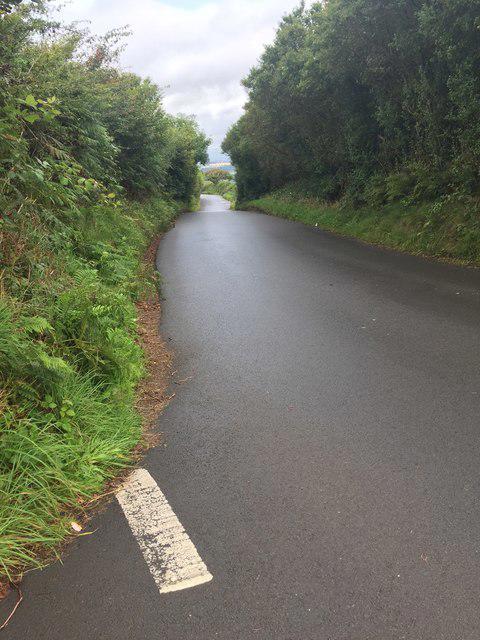 Photo could not load
SS6194 : Llwynmawr Road
Alan Hughes
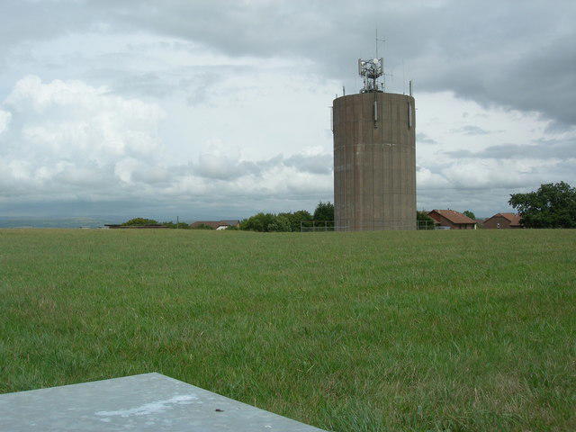 Photo could not load
SS6193 : Cwm Llwyd Water Tower
Adrian Dust
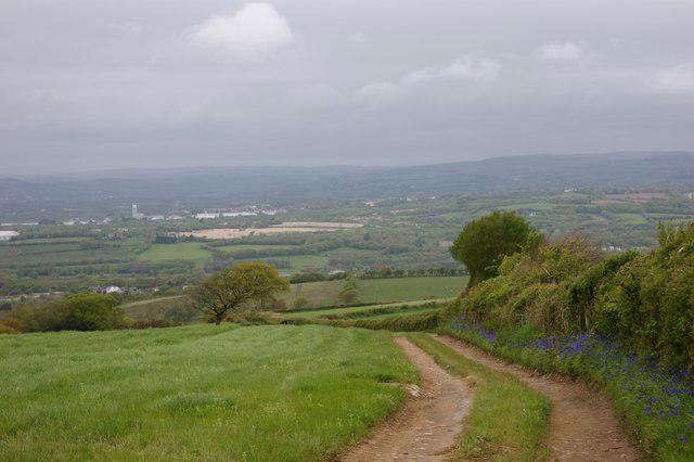 Photo could not load
SS6194 : View north from Llwyn Mawr Lane
Simon Mortimer
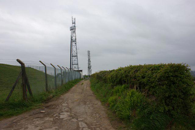 Photo could not load
SS6194 : Radio masts at Llwyn Mawr Lane
Simon Mortimer
Hill facts and local notes
Classifications
Elevation
176m
577 ft
Prominence
84m
Coordinates
51.6277, -4.0024
SS615940
OS Map
159
Explorer: 164 165
At the Summit
The summit features a well-defined rocky outcrop with a small cairn, providing an ideal spot for taking in the surrounding views and capturing memorable photographs.
Terrain & Geology
Carnglas Hill is predominantly composed of sedimentary rock, featuring layers of sandstone and shale, which are characteristic of the region. This geological diversity contributes to a varied and interesting landscape, making it a rewarding destination for geology enthusiasts.
Views & Scenery
From the summit, hikers can enjoy panoramic views of the adjacent Brecon Beacons and Saunderfoot, alongside vistas of the expansive Welsh countryside.
History & Heritage
Name Origin
The name 'Carnglas' translates roughly to 'Grey Cairn', referring to the colour of the rock and the small stone heap at the summit.
Historical Significance
The hill has been a local landmark for centuries, frequented by walkers and nature lovers, and features in various local folklore.
Getting There & Facilities
Parking
There is a small car park at Cwm Carnglas, which usually accommodates several vehicles. Arrive early during weekends to secure a spot.
Public Transport
The nearest bus stop is in the village of Libanus, located about 5 km from the trailhead, where services can be infrequent.
Nearby Facilities
There are no direct facilities at the mountain’s base; however, the town of Brecon offers cafes, shops, and public toilets.
Safety Information
Known Hazards
- Be aware of mud and slippery stones after rainfall. The weather can change rapidly, so carrying appropriate gear is advised.
General Safety Tips
- Check weather conditions before setting out
- Carry appropriate clothing and equipment
- Let someone know your planned route
- Take a map, compass, and GPS device
- Carry emergency supplies: food, water, first aid kit, torch
Hills
Some common questions about the hills answered
Are there group walks up Carnglas Hill?
Many walkers use Walkmates to join or organise walks with others. You can check for group walks around Carnglas Hill through the maps
Are there other walkers around Carnglas Hill?
Activity varies by location and time, but Walkmates lets you see whether others have shared walks or shown interest in this area. Find other people through the walking friends search walking friends for Carnglas Hill search or of course create your own walk for Carnglas Hill
Can I organise a walk to Carnglas Hill?
Yes. If there aren’t any walks listed already, you can create a walk and make it available for others to join.
If you're signed up to Walkmates, you can create a walk to Carnglas Hill.
How do I find a walk up this hill?
There are often multiple ways to walk this hill, depending on experience and route preference. Walkmates helps you explore walks and routes that others have shared.
Can I suggest a new route up Carnglas Hill?
Yes. You can suggest or create routes to share with others. Walkmates focuses on the social side of walking, so routes are used to help people organise walks and explore areas together, rather than as detailed navigation tools or route libraries.
Other uses really appreciate knowledgeable walkers sharing their routes. Share your favourite route to Carnglas Hill here
The is an error or something incorrect about this hill. How do I let you know?
We always strive to keep the information on Walkmates as accurate as possible. If you find an error, please let us know through the contact form and we'll aim to correct it as quickly as possible
Community Discussion
Comments
Location
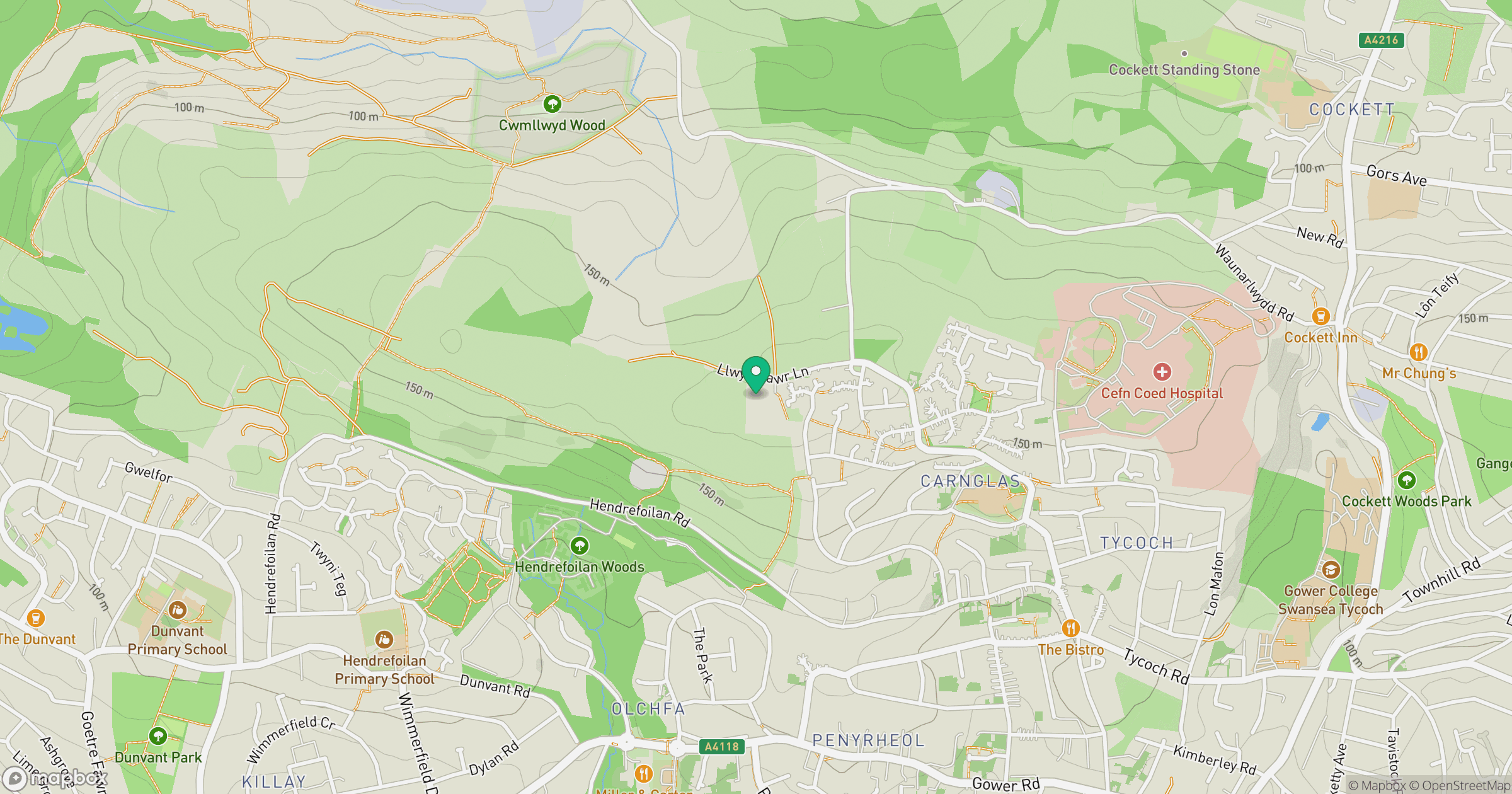
Grid reference: SS615940
View on OpenStreetMapOpens a map in a new tab, centred on the hill.
Nearby Hills
Rhossili Down - The Beacon
193m

Fan Brycheiniog - Twr y Fan Foel
802m
Fan Gyhirych
726m
Pen y Fan
886m

Dunkery Beacon
520m
No comments yet. Be the first.