

Carnethy Hill
Good walks are even better shared.
NT2061 : Descending Carnethy, Pentland Hills
Jim Barton Photo source
Overview
Carnethy Hill
Carnethy Hill rises to 573 m in the Pentlands. DoBIH records 128 m prominence and a summit cairn at NT 20385 61915. Its classification is HuMP, not Marilyn.
A complete return walk
The route card describes the Flotterstone circuit over Turnhouse, Carnethy and Scald Law, returning by Loganlea and Glencorse reservoirs. Walkhighlands publishes 12.25 km, 609 m ascent and 4½–5½ hours for the whole three-hill circuit. These are not Carnethy-only figures.
Its shorter option omits Scald Law: from Carnethy descend southwest to the Kirk Road bealach, then northwest to The Howe; follow the reservoir road back to Flotterstone. No separate distance, ascent or duration is established for that shortening.
Summit and geology
Carnethy has a cairn; the neighbouring Scald Law route summit has the trig point. BGS identifies Woodhouselee trachyte at Carnethy’s summit, separately from the mainly basaltic unit named Carnethy Hill Volcanic Member.
Name and history
Peter Drummond proposes a Brittonic or Cumbric cairn-related name. Historic Environment Scotland records the summit cairn as SM1152, with its type uncertain. Neither a nettles derivation nor an exact prehistoric construction date is established by the inspected evidence.
Planning and safety
Use the sourced Flotterstone start off the A702. Confirm current parking, bus and facility details. Expect steep, rough paths and exposed weather; take particular care on loose surfaces and the reservoir-road return. Respect local access signs and diversions, and stay off reservoir ice.
Explore routes near Carnethy Hill
Walks starting near this hill. Open a route to check its map, distance and full itinerary.
Artists’ walk in Craigmillar Castle Park (group meeting)
View route
East Calder: Almondell, Mandela Bridge and River Almond Circuit
View route
To Absent Friends: Holyrood Park walk
View route
Dalkeith Country Park: Estate and North Woods Green Trail
View route
Route planning notes
These notes describe possible approaches. Check a route's map and access information when planning your walk.
Flotterstone, Turnhouse, Carnethy and Scald Law circuit
Start at Flotterstone Ranger Centre (NT232630). Follow the centre-side path, then the Scald Law signs across the footbridge and up Turnhouse’s ridge. Cross the fenced bealach and climb to Carnethy’s cairn. Continue southwest to the Kirk Road bealach, ascend Scald Law, then retrace to that bealach. Descend northwest on the Monk’s/Kirk Road path to The Howe. Follow the road beside Loganlea Reservoir, Logan Burn and Glencorse Reservoir back to the same Flotterstone start. Walkhighlands gives 12.25 km, 609 m ascent and 4½–5½ hours for the full three-hill circuit, excluding a Kips extension. Expect steep, rough hill paths and a reservoir-side road return.
Make a day of it, together
Find someone to share the walk with, or organise a day out along a route you like.
Photo Gallery
View all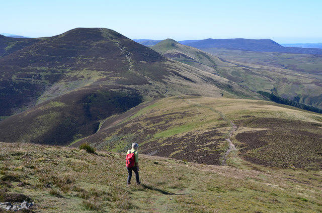 Photo could not load
NT2061 : Descending Carnethy, Pentland Hills
Jim Barton
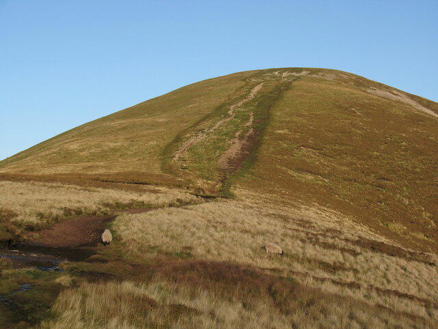 Photo could not load
NT2061 : Steep path onto Carnethy Hill
Adrian Taylor
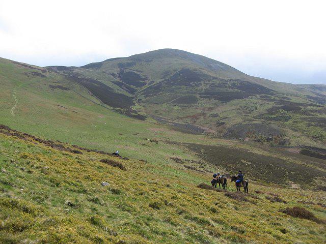 Photo could not load
NT2062 : Carnethy Hill
Richard Webb
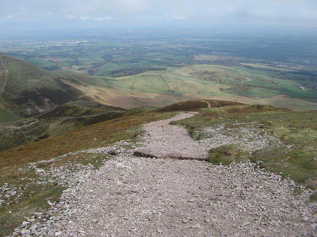 Photo could not load
NT2061 : Path, Carnethy Hill
Richard Webb
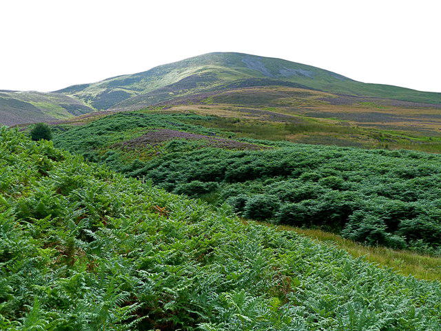 Photo could not load
NT2062 : Carnethy Hill (573 m) from Logan Burn
Anthony O'Neil
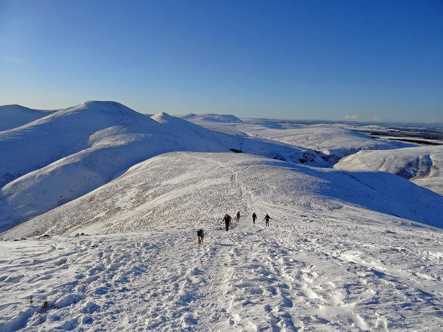 Photo could not load
NT2061 : Winter on Carnethy Hill
Adam Ward
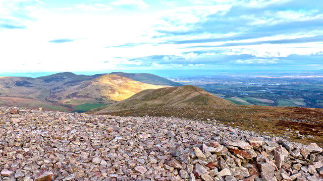 Photo could not load
NT2061 : Summit rubble Carnethy Hill, Pentlands
AlastairG
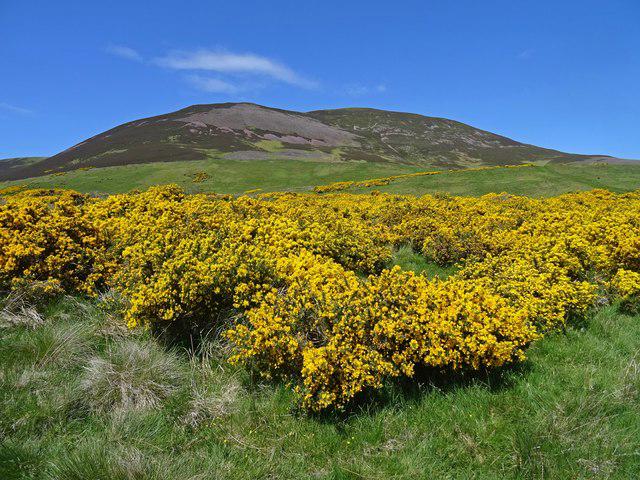 Photo could not load
NT2061 : Blooming Gorse
Adam Ward
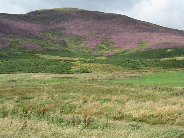 Photo could not load
NT2061 : Heather on Carnethy Hill, from near Silverburn
M J Richardson
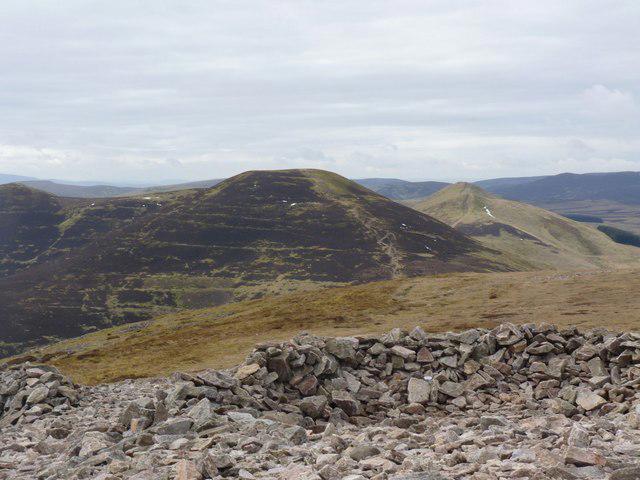
NT2061 : Summit of Carnethy Hill
Becky Williamson
Hill facts and local notes
Classifications
Elevation
573m
1,880 ft
Prominence
128m
Coordinates
55.8439, -3.2730
NT203619
OS Map
66
Explorer: 344
At the Summit
The 573 m summit is marked by a cairn at NT 20385 61915 in DoBIH. The trig point on the described three-hill circuit is on Scald Law, not Carnethy Hill.
Terrain & Geology
BGS’s 2025 Edinburgh district report identifies the Carnethy summit rocks as trachytes of the Woodhouselee Volcanic Member. This is distinct from the mainly basaltic Carnethy Hill Volcanic Member and the porphyry workings on the eastern slopes. The BGS Lexicon places the Woodhouselee unit across the late Silurian–early Devonian interval.
Views & Scenery
Walkhighlands describes views toward Scald Law and the Kips, back toward Edinburgh and Allermuir Hill, and across to the Moorfoot Hills. Visibility is weather dependent.
History & Heritage
Name Origin
Place-name scholar Peter Drummond suggests a Cumbric or Brittonic origin in carn, referring to the summit cairn, with a possible connection to Welsh carneddau, “cairns”. This is a proposed interpretation, not a certain derivation.
Historical Significance
Historic Environment Scotland’s indexed record lists Carnethy Hill cairn as scheduled monument SM1152 and describes its type as uncertain. The precise construction date and burial contents have not been established here.
Getting There & Facilities
Parking
The described circuit starts at Flotterstone Ranger Centre, NT232630, just off the A702 near Flotterstone Inn. Walkhighlands identifies charged parking. Check current tariffs and availability; the Regional Park warns of capacity problems.
Public Transport
Pentland Hills Regional Park guidance points to buses 101 and 102 for Flotterstone. Confirm the current operator timetable, stop and return service before travelling.
Nearby Facilities
The Regional Park lists a visitor information point and café at Flotterstone. Current opening hours, toilet availability and EV charging have not been verified; do not rely on historical improvement notices as current operating information.
Safety Information
Known Hazards
- Steep repeated climbs and descents, rough paths and loose slippery scree require care; keep to established paths.
- Weather can change quickly. Carry warm waterproof clothing, a map and a torch, and check the forecast.
- Take care on the reservoir-side road. Reservoir hazards include sluices and undertows; never walk onto ice. Summer blue-green algae may be present.
- Respect livestock, temporary diversions and local signs.
General Safety Tips
- Check weather conditions before setting out
- Carry appropriate clothing and equipment
- Let someone know your planned route
- Take a map, compass, and GPS device
- Carry emergency supplies: food, water, first aid kit, torch
Hills
Some common questions about the hills answered
Are there group walks up Carnethy Hill?
Many walkers use Walkmates to join or organise walks with others. You can check for group walks around Carnethy Hill through the maps
Are there other walkers around Carnethy Hill?
Activity varies by location and time, but Walkmates lets you see whether others have shared walks or shown interest in this area. Find other people through the walking friends search walking friends for Carnethy Hill search or of course create your own walk for Carnethy Hill
Can I organise a walk to Carnethy Hill?
Yes. If there aren’t any walks listed already, you can create a walk and make it available for others to join.
If you're signed up to Walkmates, you can create a walk to Carnethy Hill.
How do I find a walk up this hill?
There are often multiple ways to walk this hill, depending on experience and route preference. Walkmates helps you explore walks and routes that others have shared.
Can I suggest a new route up Carnethy Hill?
Yes. You can suggest or create routes to share with others. Walkmates focuses on the social side of walking, so routes are used to help people organise walks and explore areas together, rather than as detailed navigation tools or route libraries.
Other uses really appreciate knowledgeable walkers sharing their routes. Share your favourite route to Carnethy Hill here
The is an error or something incorrect about this hill. How do I let you know?
We always strive to keep the information on Walkmates as accurate as possible. If you find an error, please let us know through the contact form and we'll aim to correct it as quickly as possible
Community Discussion
Comments
Location
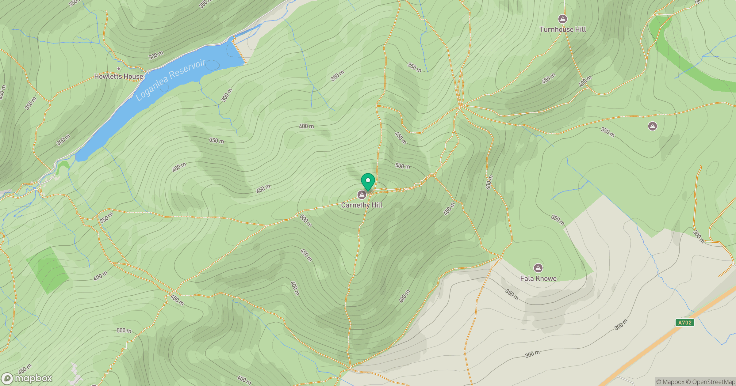
Grid reference: NT203619
View on OpenStreetMapOpens a map in a new tab, centred on the hill.


No comments yet. Be the first.